Johns Lake Loop Trail in Glacier National Park

Glacier National Park, MT

Johns Lake Loop Trail

A shady loop reaches a small lake, cascades, and a forest creek.

Photo: CC BY 2.0
Length
2.6mi
Time
1.5hr
Elev. change
190ft
Difficulty
Easy
  • Loop
  • No dogs
  • High point 3,402 ft
  • #55 of 157 in Glacier

Hear the audio tour

Johns Lake Loop Trailhead

Overview

About Johns Lake Loop Trail

Why go

  • A small lake, two cascades and a shaded creek all fit into one gentle circuit.
  • The creek-side route adds a stronger payoff than a lake-only walk.

Heads up

  • The shoreline can be boggy and the creek-side forks are easy to miss.
  • Published mileage varies; the full connected loop is longer than the shortest estimates.

Map & elevation

The route

Loading the Glacier map
Full map
Elevation3,212–3,402 ft
TrailheadJohns Lake Trailhead48.63334, -113.86228
Keep this map with you offline in the Parkwolf app

Plan your hike

Before you go

Parking

Small signed pullout on the east side of Going-to-the-Sun Road at Johns Lake Trailhead, about 12.2 miles north of West Glacier; a specialist route account estimates space for 7–8 cars. A separate lot at Sacred Dancing Cascade is another access point.

Safety

The lake shore can be boggy. The creek-side path has uneven ground and an unsigned fork; McDonald Falls has a steep, wet edge beside moving water, so stay on the tread. Pets are not allowed on park trails.

1 active Glacier alert

  • ClosureTwo Medicine Campground closed for 2026 constructionTwo Medicine Campground is closed throughout 2026 because of construction in the Two Medicine developed area.Official details
Glacier alerts
A park ranger sits on a dash-mounted phone, talking, as Parkwolf’s Tour Guide plays “Army Cutworm Moths: A Grizzly Bear Buffet” on Grand Loop Road below Dunraven Pass in Yellowstone
Parkwolf Tour GuideThe highest, rockiest slopes around here are a summer buffet for grizzly bears.

Glacier Tour Guide

Your drive to Johns Lake Loop Trail, narrated.

Parkwolf is a GPS audio tour guide for Glacier National Park. As you drive, it chimes in with what’s ahead: hidden gems, upcoming stops, history, geology, and wildlife, right through your car’s speakers.

See the Glacier audio tour

Recorded for this trailhead

Johns Lake Loop Trailhead
0:00 / 0:22
“Up ahead is Johns Lake Trailhead, a good start for a gentle forest walk that includes more than the lake. Allow about an hour and a half for the full two point six mile loop.”

Plays as you drive up to this trailhead in the Parkwolf Glacier Tour Guide.

More stories near here in the app

  • Upper McDonald Creek Trailhead
  • McDonald Falls
  • Sacred Dancing Cascade
  • Trout Lake Trailhead
  • 204 audio storiesacross Glacier’s roads, triggered by GPS as you drive
  • Wildlife heatmapsfor Grizzly Bear, Wolverine, Mountain Goat, and 13 more
  • Works offlinemaps, 157 trails, 91 places, and audio download before you lose signal
  • CarPlay readysimple controls built for the drive
★★★★★
“Our first time to glacier and we used the audio portion for Going to the Sun Road. Wonderful information with perfect advice of what to see and do along the road.”
PaisleyParkFanApp Store review
Download Parkwolf on the App StoreGet Parkwolf on Google Play

4.7 from 8,600+ ratings

Trail guide

Hiking Johns Lake Loop Trail

The whole loopJohns Lake Loop is a 2.

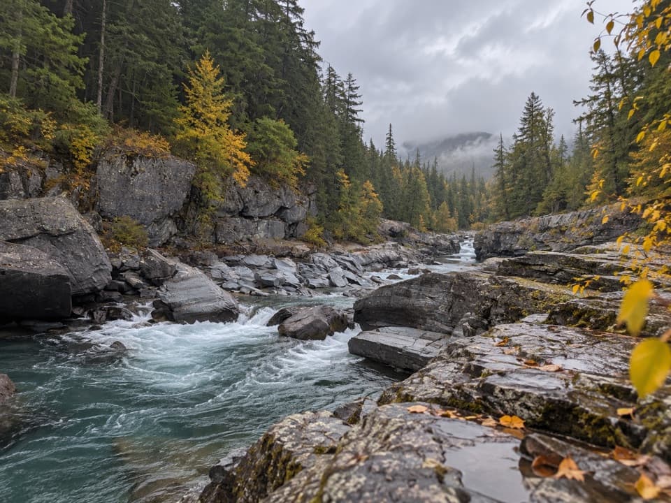
Johns Lake Loop is a 2.6-mile circuit from Johns Lake Trailhead that links a small lily-covered lake, Sacred Dancing Cascade, McDonald Falls and a forested stretch of McDonald Creek. The climb is gentle: the park lists about 160 feet of gain. Allow roughly 1.5 hours, longer if you stop by the water. Mileage varies: the park lists 3 miles, while several route guides give 1.8–2.1 miles. The connected walking line for the full lake-and-creek circuit measures 2.58 miles, so plan for the longer version. The creek and falls are the stronger half of the walk; turning back at the lake misses them.

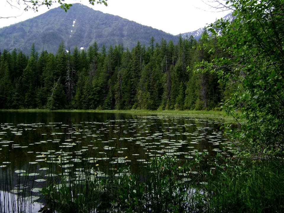
Find the lakeThe first part winds through shaded cedar and hemlock.

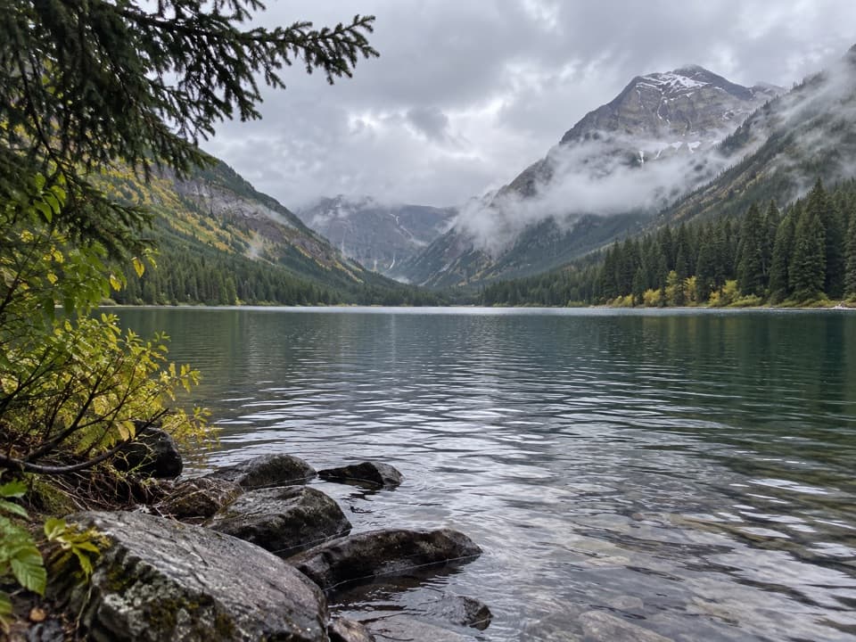
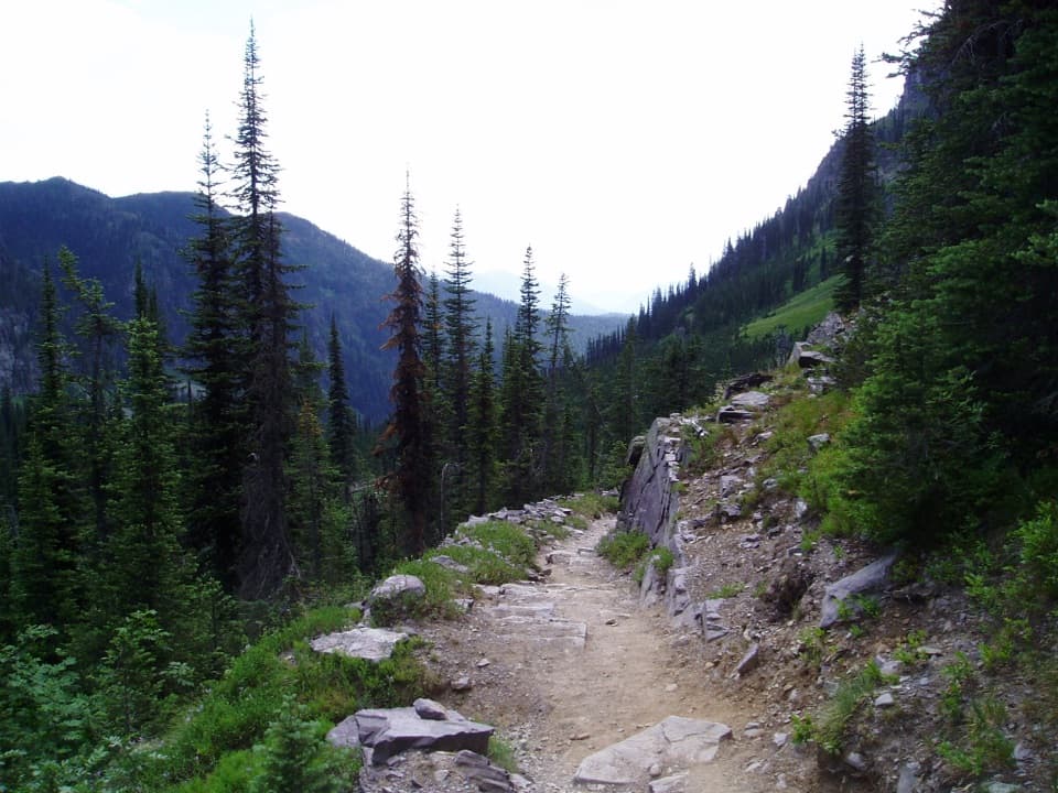
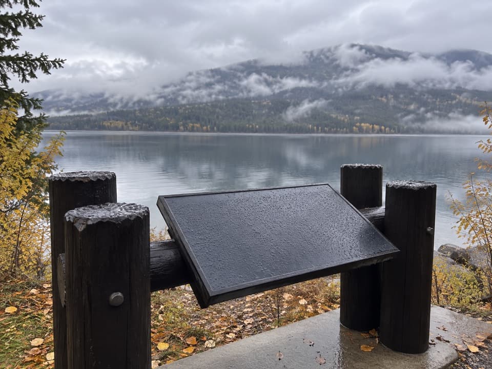
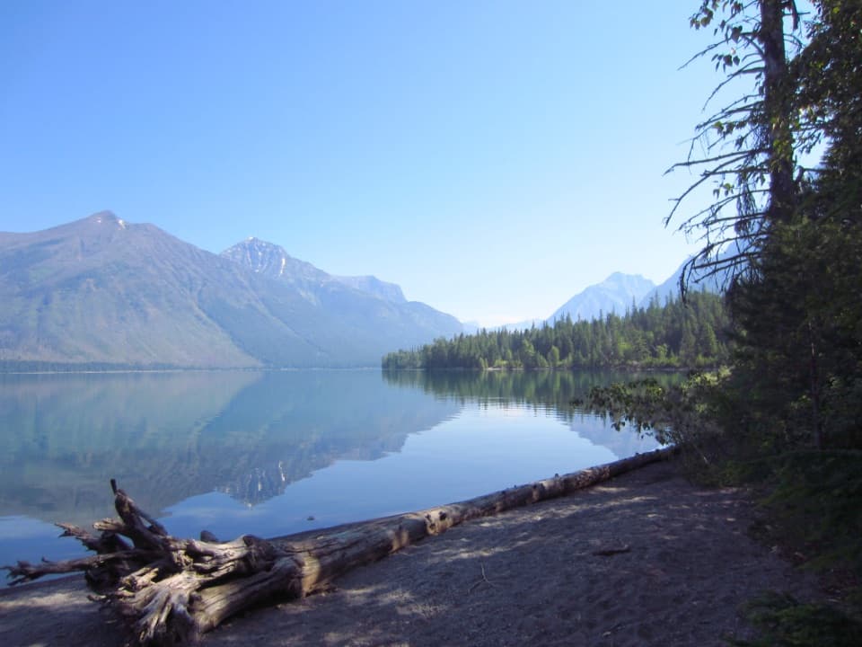
The first part winds through shaded cedar and hemlock. At the early junctions, go left at the first fork and right at the next to stay on the Johns Lake route. The lake is small and pond-like, with lily pads and wetland grasses; its shore spur can be boggy. In still conditions, Stanton Mountain and Mount Vaught show above the trees and may reflect in the water. For a photo, keep lily pads in the foreground with the peaks behind them.

Follow the creek to the fallsAfter the lake, take the loop left onto Avalanche Trail toward Going-to-the-Sun Road.

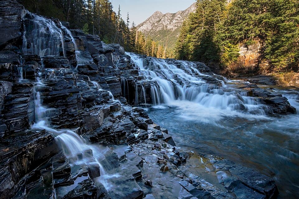
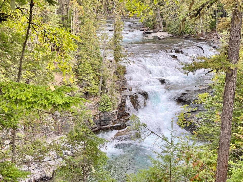
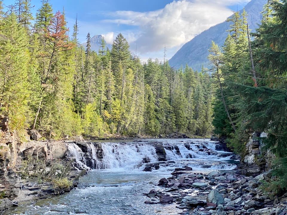
After the lake, take the loop left onto Avalanche Trail toward Going-to-the-Sun Road. Cross the road and follow the short ramp down to the creek bridge; turn left on the far side. Sacred Dancing Cascade is by this crossing. Farther along, watch for the fork beside a wooden bench and stay left along the creek. McDonald Falls is a broad, roughly 15-foot cascade. The bank is steep and the rocks beside the water can be slick, so keep to the tread.

Make the returnContinue through tall hemlocks to North McDonald Road, then follow the return toward…

Continue through tall hemlocks to North McDonald Road, then follow the return toward Going-to-the-Sun Road. A narrow side path beyond the bridge heads back toward the trailhead; a gated gravel road just before it is easy to mistake for that path. The Johns Lake pullout is small, and a separate lot at Sacred Dancing Cascade is another access point. Dogs are not allowed on Glacier trails.

Wildlife

Wildlife in Glacier

All Glacier wildlife maps

Sighting maps show where each species has been reported across Glacier. Wildlife moves, so no sighting is guaranteed.

Keep exploring

Near Johns Lake Loop Trail

See it all on the map

Trails that start nearby

Places near the trailhead

Parkwolf’s Glacier ranking

Top-rated trails in Glacier

All 157 trails
  1. 1Highline TrailChallenging · 11.8 mi
  2. 2Grinnell Glacier TrailChallenging · 10 mi
  3. 3Iceberg Lake TrailModerate · 9.6 mi
  4. 4Hidden Lake Overlook TrailModerate · 2.6 mi
  5. 5Avalanche Lake TrailModerate · 5 mi
  6. 6Trail of the CedarsEasy · 0.9 mi

Take Parkwolf to Glacier.

The audio tour guide for the drive, plus offline maps, trails, and wildlife heatmaps for when the signal drops.

4.7 from 8,600+ ratings

Download Parkwolf on the App StoreGet Parkwolf on Google Play