Parking
Start at Rose Creek Trailhead on the west end of the Rising Sun Campstore/Rising Sun Motor Inn parking lot. A seasonal restroom is at the trailhead; the camp store and casual restaurant are beside the lot, not on the hike.

Glacier National Park, MT
Waterfalls and a fire-scar meadow give way to a red-cliff lake.
Overview
Map & elevation
Plan your hike

The highest, rockiest slopes around here are a summer buffet for grizzly bears.
Glacier Tour Guide
Parkwolf is a GPS audio tour guide for Glacier National Park. As you drive, it chimes in with what’s ahead: hidden gems, upcoming stops, history, geology, and wildlife, right through your car’s speakers.
See the Glacier audio tourRecorded for this trailhead
Rising Sun: Food and Lakeshore“You're nearing Rising Sun, a useful place for a meal and a short walk by St. Mary Lake. Two Dog Flats Grill at the motor inn serves American comfort food, including build-your-own burgers, sandwiches, soups and salads.”
Plays as you drive up to this trailhead in the Parkwolf Glacier Tour Guide.
More stories near here in the app
“Our first time to glacier and we used the audio portion for Going to the Sun Road. Wonderful information with perfect advice of what to see and do along the road.”


Trail guide
Otokomi Lake Trail is a hard out-and-back from Rose Creek Trailhead to a high lake under red cliffs: 5.5 miles each way, 11 miles round trip. Allow 6 to 8 hours. The newer NPS trailhead page lists 2,497 feet of climbing and 548 feet of descent; the older district hiking list still says 1,900 feet of climbing, so treat the ascent as substantial rather than planning around an exact total. You return on the same corridor.
The route starts by Rising Sun's campground and store, then climbs through forest and berry brush. Switchbacks gain height above Rose Creek; openings bring intermittent mountain and canyon views. Several waterfalls punctuate the climb, with short side viewpoints above the creek.
The trail crosses the Reynolds Creek fire scar from the 2015 fire. The route opens into meadows and regrowth, then becomes steeper and rockier as it climbs toward the basin. About a mile before the lake, the trees thin and the destination comes into view.
The final two miles are the steepest, and the upper tread crosses loose scree. Near the end, the path follows the outlet creek for roughly the last 100 yards to Otokomi Lake. Red cliffs rise around the shore; on a calm, clear day they can reflect in the water. Cutthroat trout have also been photographed in the lake's clear shallows.
Park at Rose Creek Trailhead, at the west end of the Rising Sun Campstore/Rising Sun Motor Inn lot. A seasonal restroom is at the trailhead, with the camp store and a casual restaurant beside the lot rather than along the route. Pets are not permitted on Glacier trails. The park warns hikers to take extra care around water, steep drop-offs and wildlife.
Wildlife
 404 sightingsGrizzly BearMost seen around 6 AMSighting map
 11 sightingsWolverineMost seen around 8 PMSighting map
 1,173 sightingsMountain GoatMost seen around 6 AMSighting map
 1,000 sightingsBighorn SheepMost seen around 6 AMSighting map
 395 sightingsMooseMost seen around 6 AMSighting map
 506 sightingsBlack BearMost seen around 8 PMSighting map
Sighting maps show where each species has been reported across Glacier. Wildlife moves, so no sighting is guaranteed.
Keep exploring
 EasyRising Sun Trail0.8 mi · 30 min · 0.2 mi awayA level lakeshore walk through aspens to the boat launch.
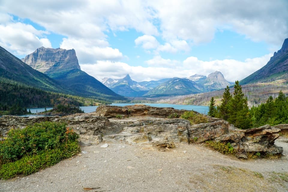 EasySun Point Nature Trail0.9 mi · 30 min · 3.1 mi awayWalk from a historic lakeside overlook toward Sunrift Gorge.
 ChallengingDivide Creek Trail2.5 mi · 2.5 hr · 3.5 mi awayA hard-to-find old road through burned forest to Divide Creek.
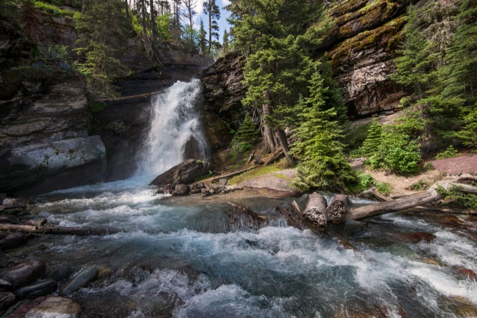 EasyBaring Falls Trail0.7 mi · 36 min · 3.7 mi awayA short creekside walk to a 25-foot waterfall.
 EasySunrift Gorge Trail0.1 mi · 9 min · 3.7 mi awayA quick walk to Baring Creek’s narrow, sudden gorge.
 ModerateSt. Mary Falls Trail1.6 mi · 1.3 hr · 4.3 mi awayA short descent to a bridge beneath a three-tier waterfall
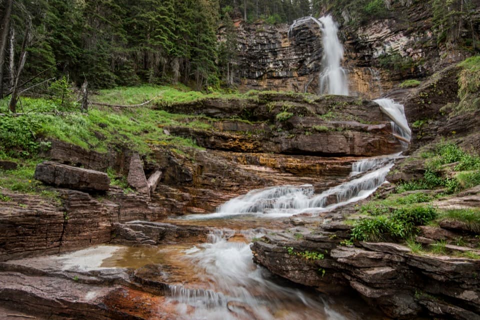 ModerateVirginia Falls Trail3.2 mi · 2 hr · 4.3 mi awayTwo falls, views through the burn, and a harder climb back.
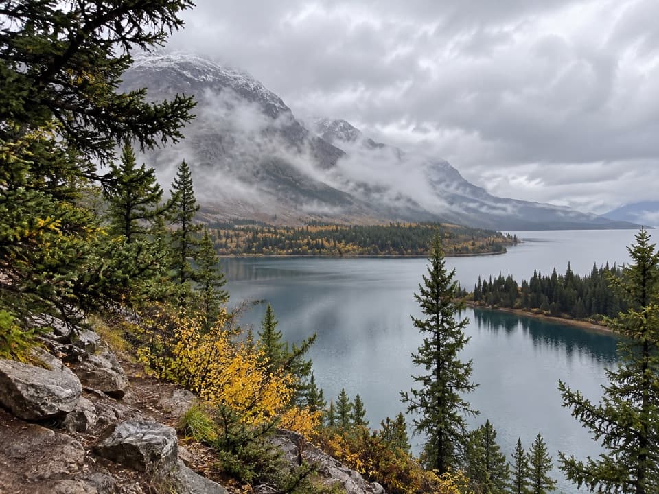 ChallengingSouth Shore St. Mary Lake Trail16.4 mi · 9.5 hr · 4.8 mi awayMeadows, lakeshore forest, and two waterfalls on a long traverse
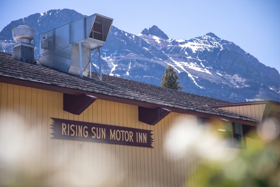 Lodging · 0.1 mi awayRising Sun Motor Inn and CabinsA rustic base near St. Mary Lake and the east-side road.
 Campground · 0.2 mi awayRising Sun CampgroundAn east-side base beneath a cliff, with a trailhead next door.
 Picnic area · 0.2 mi awayRising Sun Picnic AreaA picnic break with a short walk to St. Mary Lake.
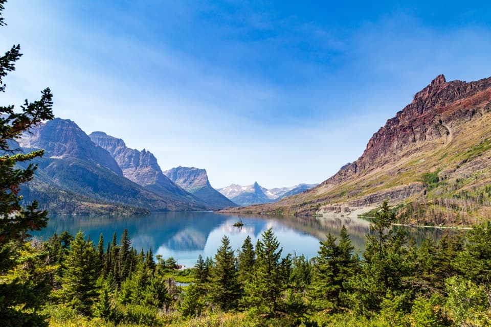 Sight · 0.6 mi awayWild Goose Island OverlookA tiny island anchors a huge mountain-lake view.Sight · 3 mi awaySun PointA big lake view with a long-gone railway chalet story.
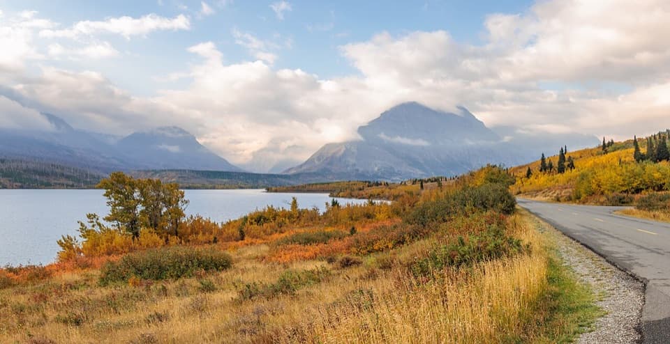 Sight · 3.4 mi awayTwo Dog FlatsA prairie-edge pause for early wildlife watching and wide views.Sight · 3.6 mi awayBaring FallsA short waterfall walk, with a chance to spot dippers
 Sight · 3.6 mi awaySunrift GorgeA quick roadside stop for Baring Creek’s 80-foot-deep gorge.
Parkwolf’s Glacier ranking

The audio tour guide for the drive, plus offline maps, trails, and wildlife heatmaps for when the signal drops.





