Parking
Use Sunrift Gorge Pullout on Going-to-the-Sun Road. Space is limited and can be difficult to find; have another stop in mind if the pullout is full.

Glacier National Park, MT
A quick walk to Baring Creek’s narrow, sudden gorge.
Overview
Map & elevation
Plan your hike

The highest, rockiest slopes around here are a summer buffet for grizzly bears.
Glacier Tour Guide
Parkwolf is a GPS audio tour guide for Glacier National Park. As you drive, it chimes in with what’s ahead: hidden gems, upcoming stops, history, geology, and wildlife, right through your car’s speakers.
See the Glacier audio tourRecorded for this trailhead
Sunrift Gorge and Baring Falls“Sunrift Gorge is coming up, a narrow rock cleft with Baring Creek running between its walls. The overlook is about two hundred feet from the pullout, with steps, so this works as a five-to-ten-minute stop.”
Plays as you drive up to this trailhead in the Parkwolf Glacier Tour Guide.
More stories near here in the app
“Our first time to glacier and we used the audio portion for Going to the Sun Road. Wonderful information with perfect advice of what to see and do along the road.”


Trail guide
Sunrift Gorge Trail is a short out-and-back from Sunrift Gorge Pullout to a viewpoint above Baring Creek. The walk is about 200 feet each way—roughly 400 feet round trip—and takes around 5 to 10 minutes with a look. The short approach has steps, and the payoff is the creek dropping into a narrow cleft. This is a quick roadside stop, separate from the longer routes to Baring Falls and Sun Point.
The gorge is about 800 feet long and 80 feet deep. Baring Creek runs between steep, layered rock walls, with the stream visible below from the overlook. For a photo, frame the cleft from above so the stream at the bottom shows how tightly the walls close around it.
Use the Sunrift Gorge Pullout on Going-to-the-Sun Road. It is a small pullout, and visitors often report difficulty finding a space. The road has a seasonal closure, so check its status before driving here. Expect steps and stay on the path near the steep drop and water; pets are not permitted on Glacier trails. The park’s two trail references differ on the amount of climbing, so expect a short uphill pitch rather than relying on a single gain figure.
Wildlife
 404 sightingsGrizzly BearMost seen around 6 AMSighting map
 11 sightingsWolverineMost seen around 8 PMSighting map
 1,173 sightingsMountain GoatMost seen around 6 AMSighting map
 1,000 sightingsBighorn SheepMost seen around 6 AMSighting map
 395 sightingsMooseMost seen around 6 AMSighting map
 506 sightingsBlack BearMost seen around 8 PMSighting map
Sighting maps show where each species has been reported across Glacier. Wildlife moves, so no sighting is guaranteed.
Keep exploring
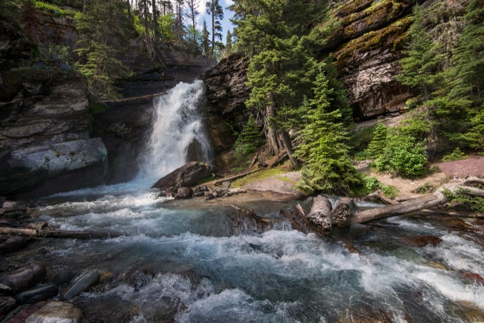 EasyBaring Falls Trail0.7 mi · 36 min · At the trailheadA short creekside walk to a 25-foot waterfall.
 ModerateSt. Mary Falls Trail1.6 mi · 1.3 hr · 0.7 mi awayA short descent to a bridge beneath a three-tier waterfall
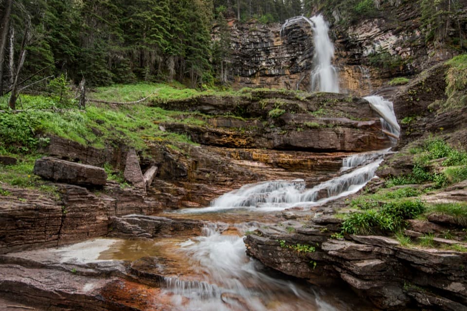 ModerateVirginia Falls Trail3.2 mi · 2 hr · 0.7 mi awayTwo falls, views through the burn, and a harder climb back.
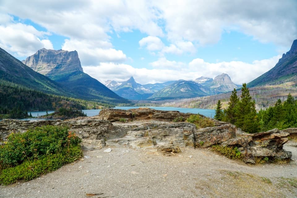 EasySun Point Nature Trail0.9 mi · 30 min · 0.7 mi awayWalk from a historic lakeside overlook toward Sunrift Gorge.
 ChallengingGunsight Pass Trail to Lake McDonald Lodge19.5 mi · 14 hr · 2.6 mi awayA demanding east-to-west traverse over two high alpine passes.
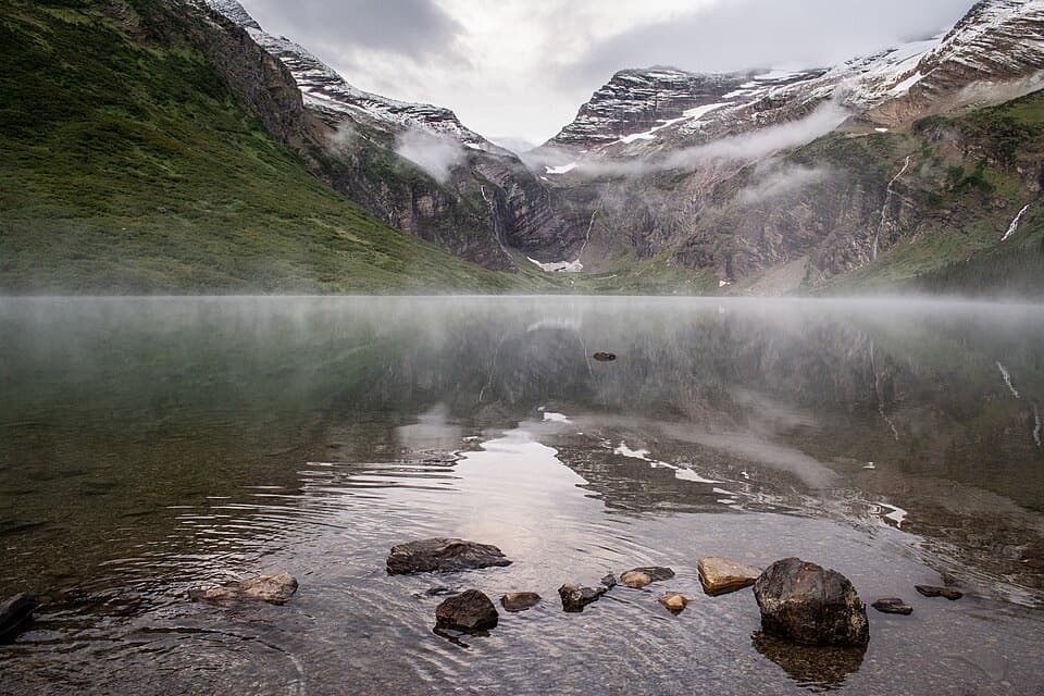 ChallengingGunsight Lake Trail12.9 mi · 8.5 hr · 2.6 mi awayA long valley walk to Gunsight Lake’s rocky shore
 ChallengingFlorence Falls Trail9.8 mi · 4.5 hr · 2.6 mi awayA long out-and-back to Florence Falls through creek and pond country
 ChallengingOtokomi Lake Trail11 mi · 7 hr · 3.7 mi awayWaterfalls and a fire-scar meadow give way to a red-cliff lake.
 Sight · At the trailheadSunrift GorgeA quick roadside stop for Baring Creek’s 80-foot-deep gorge.Sight · 0.1 mi awayBaring FallsA short waterfall walk, with a chance to spot dippersSight · 0.8 mi awaySun PointA big lake view with a long-gone railway chalet story.
 Sight · 1.2 mi awaySt. Mary FallsTwo foaming drops and blue-green pools reward this short hike.Sight · 1.5 mi awayVirginia FallsKeep going past St. Mary Falls for the bigger cascade.
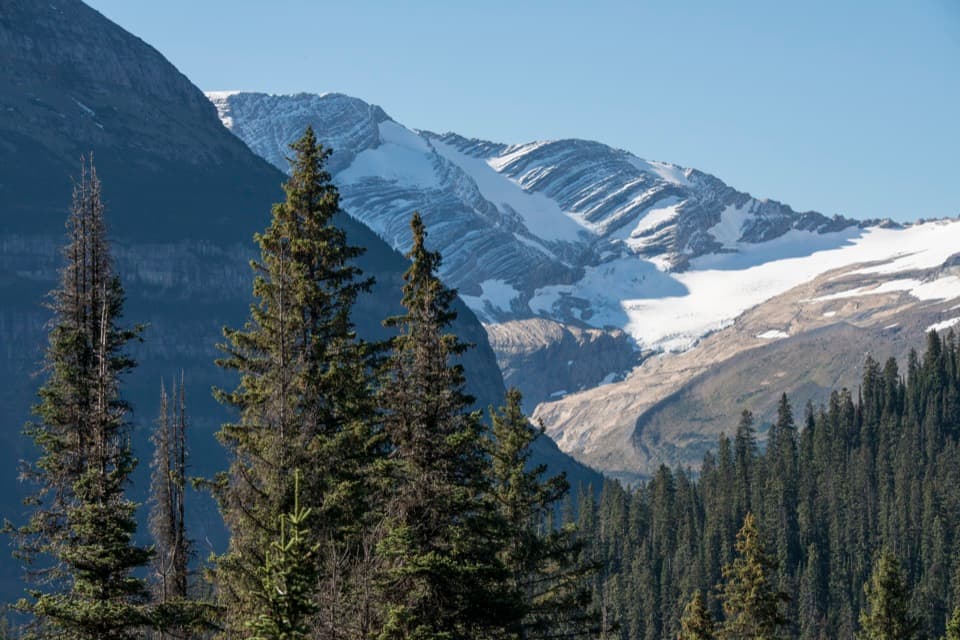 Sight · 2.7 mi awayJackson Glacier OverlookA glacier view worth the quick stop on Going-to-the-Sun Road.
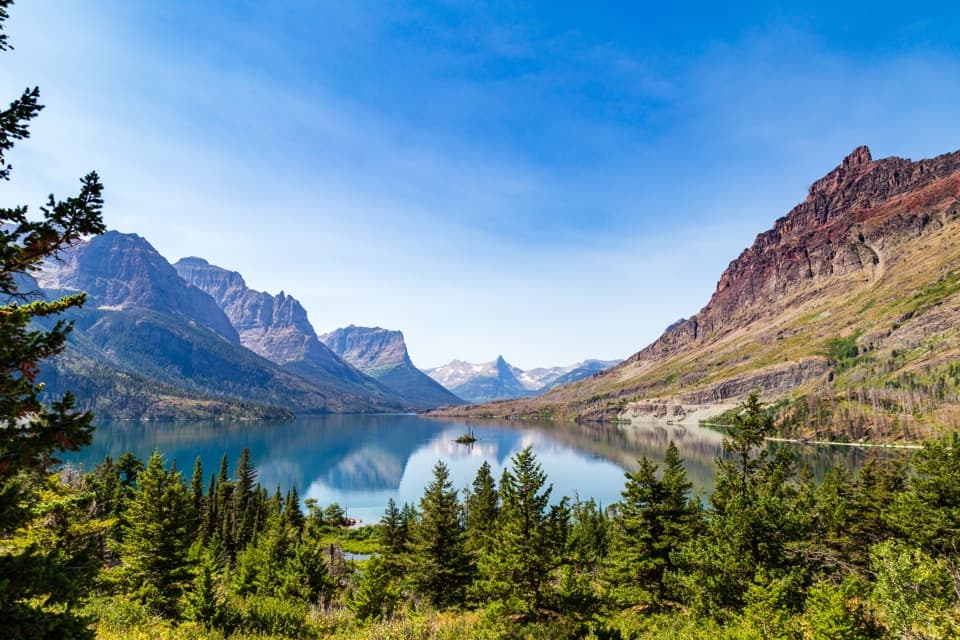 Sight · 3.1 mi awayWild Goose Island OverlookA tiny island anchors a huge mountain-lake view.
 Campground · 3.5 mi awayRising Sun CampgroundAn east-side base beneath a cliff, with a trailhead next door.
Parkwolf’s Glacier ranking

The audio tour guide for the drive, plus offline maps, trails, and wildlife heatmaps for when the signal drops.





