Parking
Start at the St. Mary Falls Shuttle Stop on Going-to-the-Sun Road. The nearby roadside parking area is very small and can fill during peak summer; the parking-area trailhead is a longer start at about 1.8 miles each way.
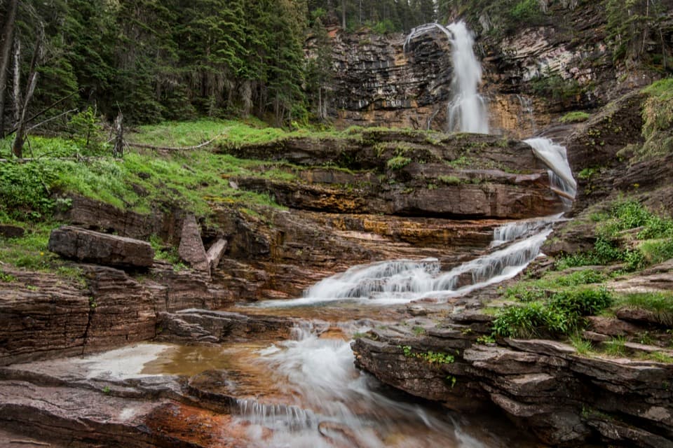
#9 of 157 trails in Glacier
Glacier National Park, MT
Two falls, views through the burn, and a harder climb back.
Overview
Map & elevation
Plan your hike

The highest, rockiest slopes around here are a summer buffet for grizzly bears.
Glacier Tour Guide
Parkwolf is a GPS audio tour guide for Glacier National Park. As you drive, it chimes in with what’s ahead: hidden gems, upcoming stops, history, geology, and wildlife, right through your car’s speakers.
See the Glacier audio tourRecorded for this trailhead
St. Mary and Virginia Falls“You're nearing the trail access for St. Mary and Virginia Falls, a good stop if you want waterfalls and time on foot. From the shuttle stop, St.”
Plays as you drive up to this trailhead in the Parkwolf Glacier Tour Guide.
More stories near here in the app
“Our first time to glacier and we used the audio portion for Going to the Sun Road. Wonderful information with perfect advice of what to see and do along the road.”


Trail guide
Virginia Falls Trail is a 3.2-mile out-and-back from the St. Mary Falls Shuttle Stop, passing St. Mary Falls and several cascades on Virginia Creek before reaching Virginia Falls. I’d choose it if you want both famous falls and a real hike rather than the short visit to St. Mary alone. The route gets more interesting after the first waterfall: more creek cascades, open views, and a bigger payoff at the end. Allow about two hours, or longer if you like stopping at every waterfall.
The 3.2-mile figure is round trip from St. Mary Falls Shuttle Stop: 1.6 miles each way. A nearby roadside parking start is listed at 1.8 miles each way, which makes that outing about 3.6 miles. Sun Point and the boat approach from Rising Sun are longer routes along St. Mary Lake; they are different itineraries, not extra miles folded into this row. If you want a shorter outing, turn around at St. Mary Falls for roughly 1.6 miles total.
From the shuttle stop, the trail descends through an open fire-scarred slope, meets the Piegan Pass junction, and continues to St. Mary River. Stay toward St. Mary Falls, where a footbridge looks up at the falls from below. After the bridge, the path follows the river briefly, climbs a low hill, then heads uphill beside Virginia Creek. Its smaller cascades make the next stretch feel more varied than a straight walk to the main falls. The final fork gives a choice of close views; follow the marked approach to Virginia Falls, then return the way you came.
The open stretch belongs to the story of the 2015 Reynolds Creek Fire, which began in the St. Mary Valley and burned on both sides of Going-to-the-Sun Road. With parts of the canopy gone, the route has views toward St. Mary Lake and surrounding peaks that used to be screened by forest. The route shifts from the open hillside into the creek corridor, where the sound and sight of moving water take over. There is little shade early on; this is the stretch where sun and heat can feel most noticeable.
The route loses about 260 feet, then gains about 285 feet on the way out, so the walk ends slightly higher than it starts. That means the return includes both the climb beside Virginia Creek and the uphill stretch back toward the shuttle stop; the last miles feel harder than the first. Stay on the path around the waterfalls: the park warns visitors about steep drop-offs and hazards around water. Dogs are not allowed on park trails. Autumn snow and seasonal road or trail changes can affect access, so check current conditions before planning a late-season visit.
Wildlife
 404 sightingsGrizzly BearMost seen around 6 AMSighting map
 11 sightingsWolverineMost seen around 8 PMSighting map
 1,173 sightingsMountain GoatMost seen around 6 AMSighting map
 1,000 sightingsBighorn SheepMost seen around 6 AMSighting map
 395 sightingsMooseMost seen around 6 AMSighting map
 506 sightingsBlack BearMost seen around 8 PMSighting map
Sighting maps show where each species has been reported across Glacier. Wildlife moves, so no sighting is guaranteed.
Keep exploring
 ModerateSt. Mary Falls Trail1.6 mi · 1.3 hr · At the trailheadA short descent to a bridge beneath a three-tier waterfall
 EasySunrift Gorge Trail0.1 mi · 9 min · 0.7 mi awayA quick walk to Baring Creek’s narrow, sudden gorge.
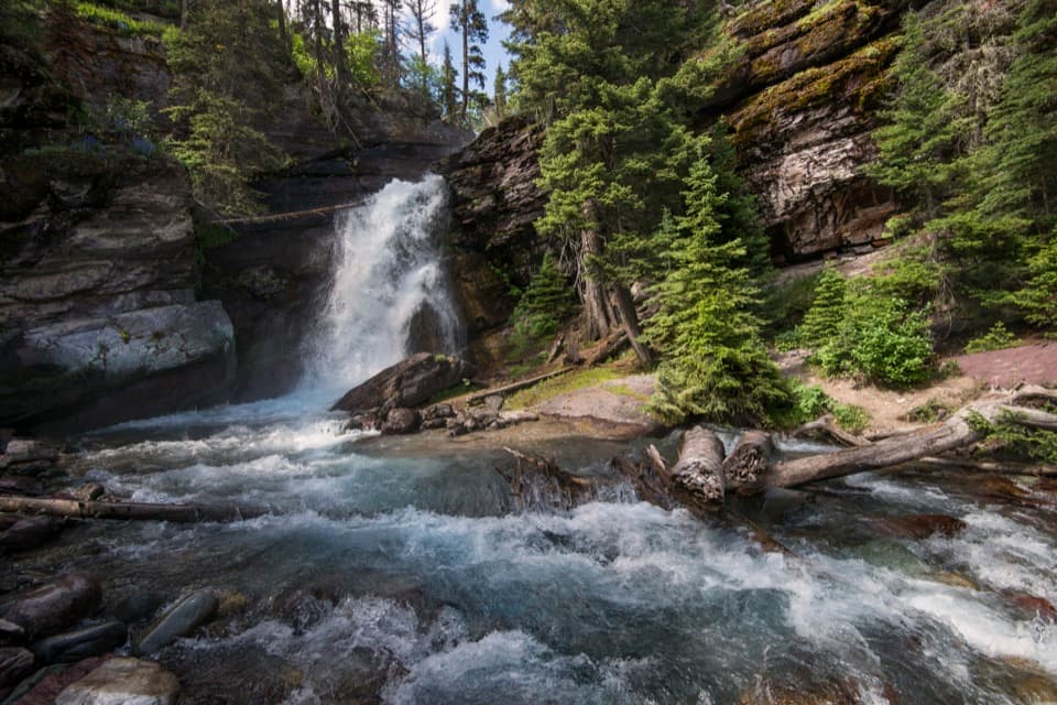 EasyBaring Falls Trail0.7 mi · 36 min · 0.7 mi awayA short creekside walk to a 25-foot waterfall.
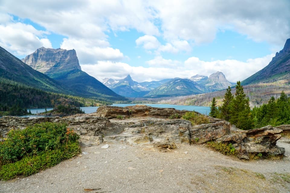 EasySun Point Nature Trail0.9 mi · 30 min · 1.3 mi awayWalk from a historic lakeside overlook toward Sunrift Gorge.
 ChallengingGunsight Pass Trail to Lake McDonald Lodge19.5 mi · 14 hr · 2 mi awayA demanding east-to-west traverse over two high alpine passes.
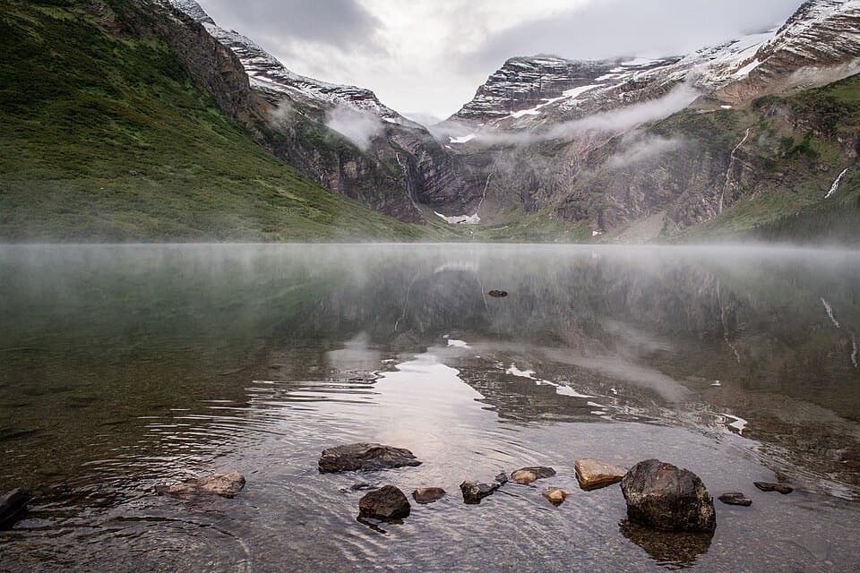 ChallengingGunsight Lake Trail12.9 mi · 8.5 hr · 2 mi awayA long valley walk to Gunsight Lake’s rocky shore
 ChallengingFlorence Falls Trail9.8 mi · 4.5 hr · 2 mi awayA long out-and-back to Florence Falls through creek and pond country
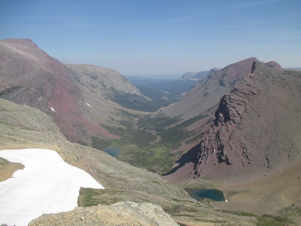 ChallengingSiyeh Pass Trail10 mi · 7 hr · 3.3 mi awayA steep pass crossing rewarded with Sexton Glacier and Baring Creek.
 Sight · 0.5 mi awaySt. Mary FallsTwo foaming drops and blue-green pools reward this short hike.
 Sight · 0.7 mi awaySunrift GorgeA quick roadside stop for Baring Creek’s 80-foot-deep gorge.Sight · 0.7 mi awayBaring FallsA short waterfall walk, with a chance to spot dippersSight · 1 mi awayVirginia FallsKeep going past St. Mary Falls for the bigger cascade.Sight · 1.4 mi awaySun PointA big lake view with a long-gone railway chalet story.
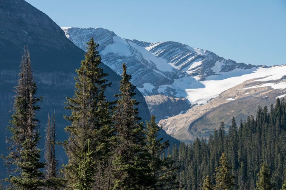 Sight · 2.1 mi awayJackson Glacier OverlookA glacier view worth the quick stop on Going-to-the-Sun Road.
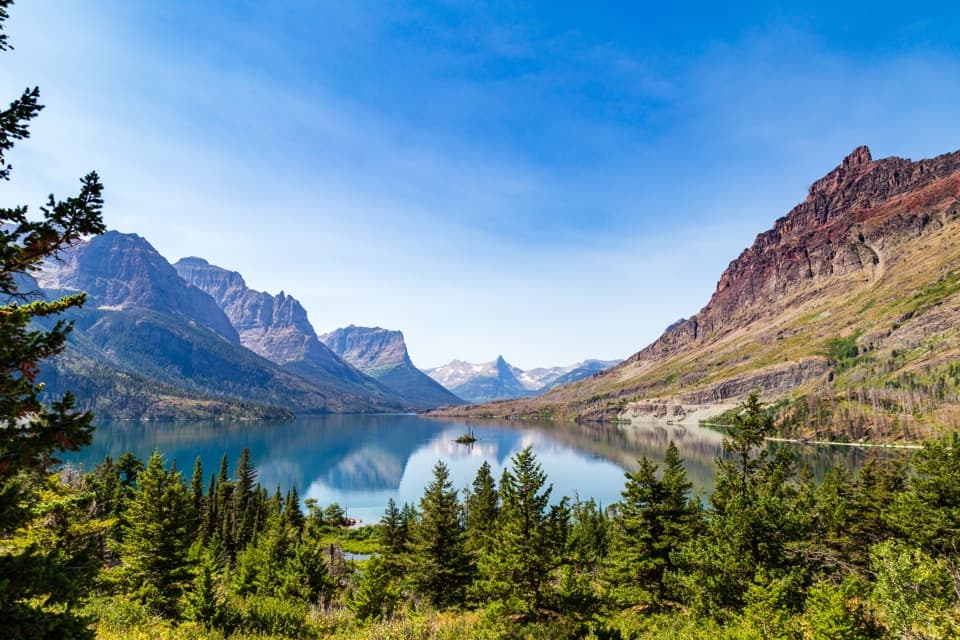 Sight · 3.7 mi awayWild Goose Island OverlookA tiny island anchors a huge mountain-lake view.
 Campground · 4.2 mi awayRising Sun CampgroundAn east-side base beneath a cliff, with a trailhead next door.
Parkwolf’s Glacier ranking

The audio tour guide for the drive, plus offline maps, trails, and wildlife heatmaps for when the signal drops.





