Parking
Boroka Lookout Car Park is directly beside Mount Difficult Road, with adjacent toilets and coach parking. This is a drive-up lookout, not a Halls Gap hiking trailhead.
#7 of 81 trails in Grampians
Grampians National Park, VIC
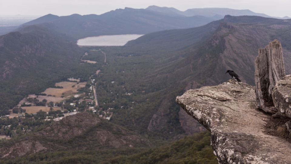
Short sealed stroll to two platforms over Halls Gap and Lake Bellfield
Overview
Map & elevation
Plan your hike

The highest, rockiest slopes around here are a summer buffet for grizzly bears.
Grampians Tour Guide
Parkwolf is a GPS audio tour guide for Grampians National Park. As you drive, it chimes in with what’s ahead: hidden gems, upcoming stops, history, geology, and wildlife, right through your car’s speakers.
Recorded for this trailhead
Boroka Lookout: The Valley Below“Up ahead is Boroka Lookout, where you can see how the valley, lake and mountains fit together. The path runs about 90 metres each way through stringybark forest to two viewing platforms.”
Plays as you drive up to this trailhead in the Parkwolf Grampians Tour Guide.
More stories near here in the app
“Fantastic app with many points of information… It’s great to just turn on while you’re driving and it gives you an audio tour of the national Park. We love it!!!!”


Trail guide
An out-and-back access walk of about 0.11 miles (roughly 180 m return), based on 90 m each way from the car park to the lookout. Allow around 15 minutes so there is time to stand at both viewpoints rather than rush back to the car.
From Boroka Lookout Car Park on Mount Difficult Road, the path leaves the car-park-side footway and passes briefly through stringybark forest before opening out at the viewpoint. There are two viewing platforms, so it is worth walking to both. You return along the same short corridor.
Rated 2 out of 10 and genuinely easy. The path is sealed with a slight gradient and is described as suitable for people with limited mobility, though anyone with specific access needs should judge the gradient for themselves on arrival. This is a drive-up roadside lookout: parking is at the trailhead, coach parking is available, and there is a public toilet adjacent to the car park.
The outlook takes in the Halls Gap valley and Lake Bellfield, the Wonderland Range and Mount William Range, and the Fyans Valley with farmland plains stretching east. The layered ranges are the main payoff, and the short distance makes it an easy addition to a driving day.
Official warnings for the site cover unstable cliffs, slippery rocks and falling trees. Keep to the formed path, supervise children closely and take care near the lookout edges. Dogs and other pets are not permitted in Victorian national parks; assistance dogs are covered by separate rules.
This is the short access walk only. Reaching Boroka Lookout on foot from Halls Gap or the Wonderland car park is a separate outing of around 8.8 km return, and the southbound Boroka Track is different again. Treat this route as a scenic stop, not a substantial hike.
Wildlife
 157 sightingsShort-beaked EchidnaMost seen around 6 PMSighting map
 37 sightingsPowerful OwlMost seen around 6 PMSighting map
 59 sightingsWedge-tailed EagleMost seen around 11 AMSighting map
 24 sightingsEastern Brown SnakeMost seen around 11 AMSighting map
 10 sightingsTiger SnakeMost seen around noonSighting map
 29 sightingsRed-bellied Black SnakeMost seen around 11 AMSighting map
Sighting maps show where each species has been reported across Grampians. Wildlife moves, so no sighting is guaranteed.
Keep exploring
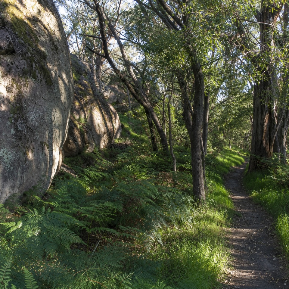 ModerateDelleys Bridge Walking Track2.7 km · 1.3 hr · 1.9 km awayEscarpment path above Fyans Creek, with steps, boardwalk and forest cover
 ChallengingBugiga Overnight Hike22.3 km · 14 hr · 2 km awayGrand Canyon, the Pinnacle, Mount Rosea: two hard days with a pack
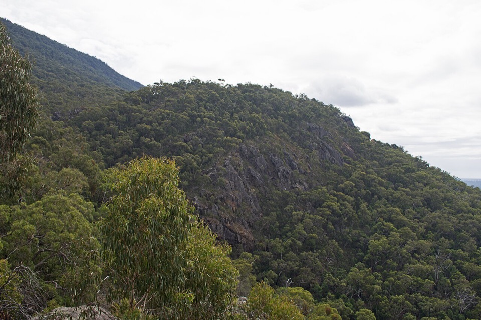 EasyClematis Falls Walk2.4 km · 1 hr · 2 km awayShort forest stroll to a seasonal falls under sandstone cliffs
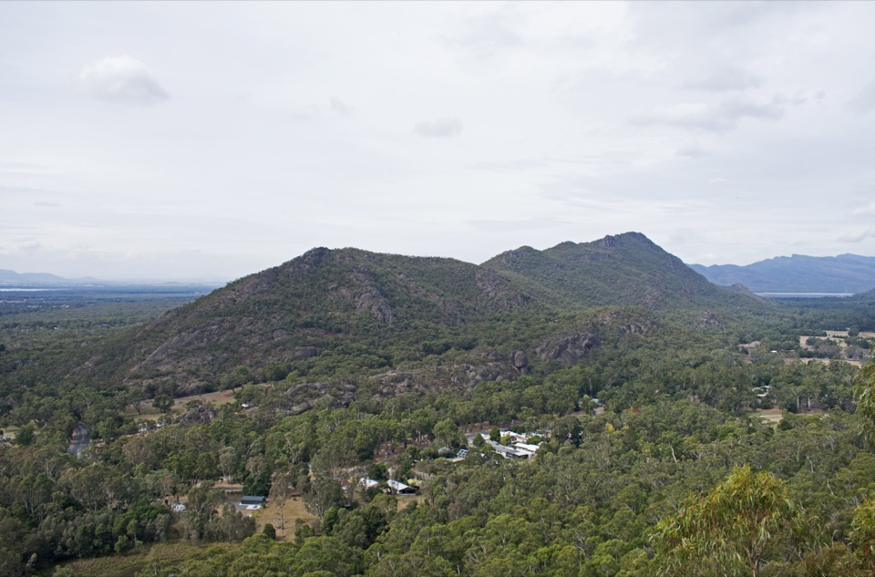 ModerateChatauqua Peak Loop Walk6.3 km · 2.5 hr · 2 km awaySteep rocky summit above Halls Gap, with fern gullies and a waterfall
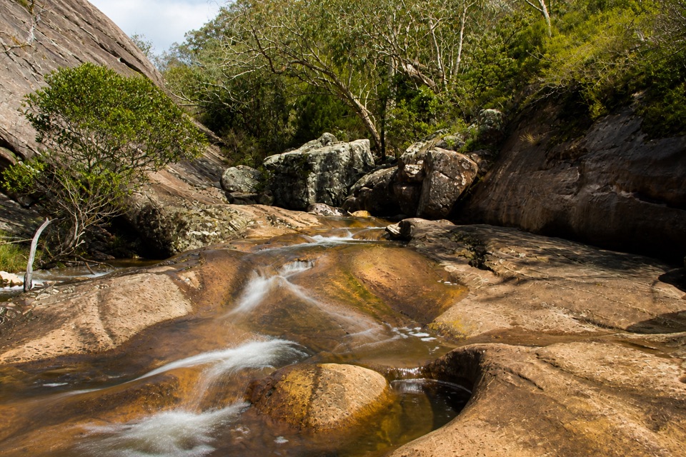 EasyVenus Baths Loop Walk2.3 km · 1 hr · 2.1 km awaySmooth sandstone pools on Stony Creek, an easy 2.3 km family circuit
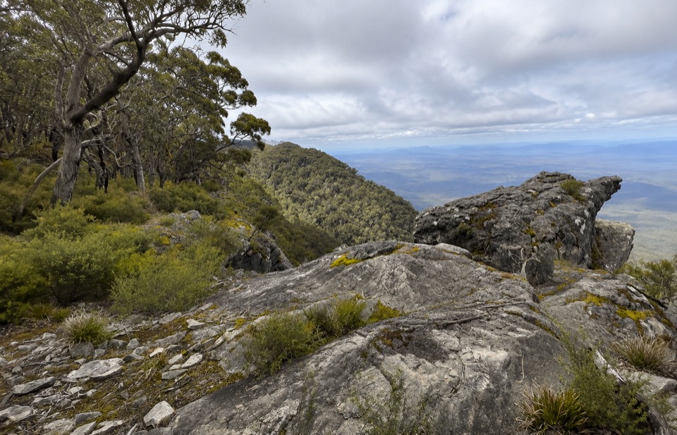 ChallengingWerdug Overnight Hike26 km · 13 hr · 2.1 km awaySteep escarpment climb to a high hike-in camp above Lake Wartook
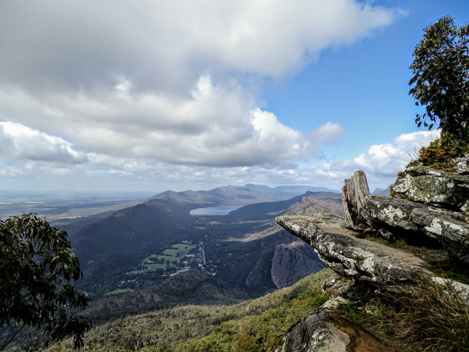 ChallengingBoroka Lookout from Halls Gap12 km · 4 hr · 2.1 km awaySteep 12 km climb through stringybark forest to a cliff-edge panorama
 ModerateHalls Gap to The Pinnacle9.6 km · 5 hr · 2.2 km awaySteep sandstone climb to a wide lookout, then a canyon-lined return
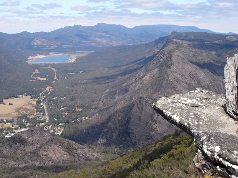 Sight · 0.1 km awayBoroka LookoutA short stroll to huge views over Halls Gap and Lake Bellfield
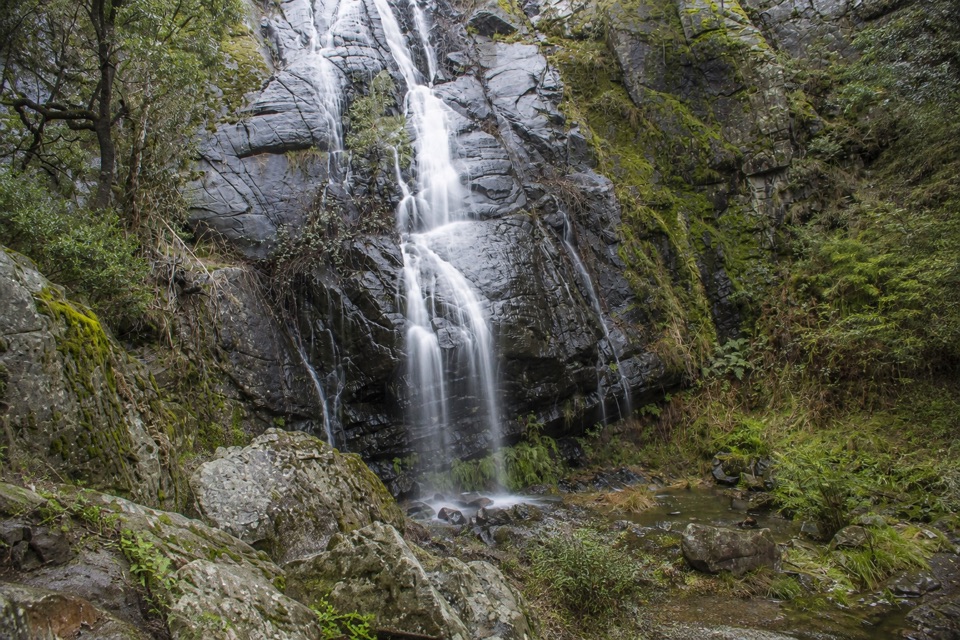 Sight · 1.2 km awayClematis FallsA seasonal waterfall reached by an easy walk from Halls Gap
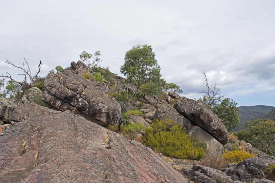 Sight · 1.7 km awayChatauqua PeakA rocky summit scramble with wide views over Halls GapSight · 1.9 km awayVenus BathsSmooth sandstone pools made for a cool, easy creekside wander
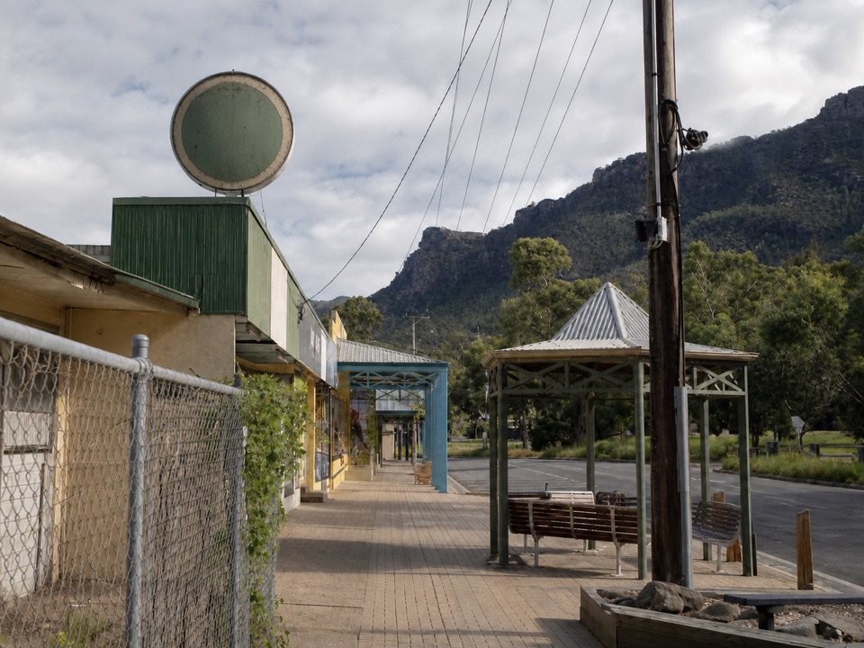 Sight · 2.6 km awayHalls GapA practical mountain base for central walks, wildlife, and big views
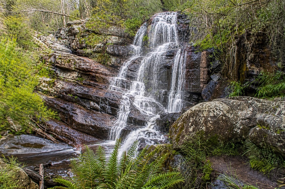 Sight · 2.8 km awaySplitters FallsA seasonal cascade tucked into a shady, rock-strewn walk
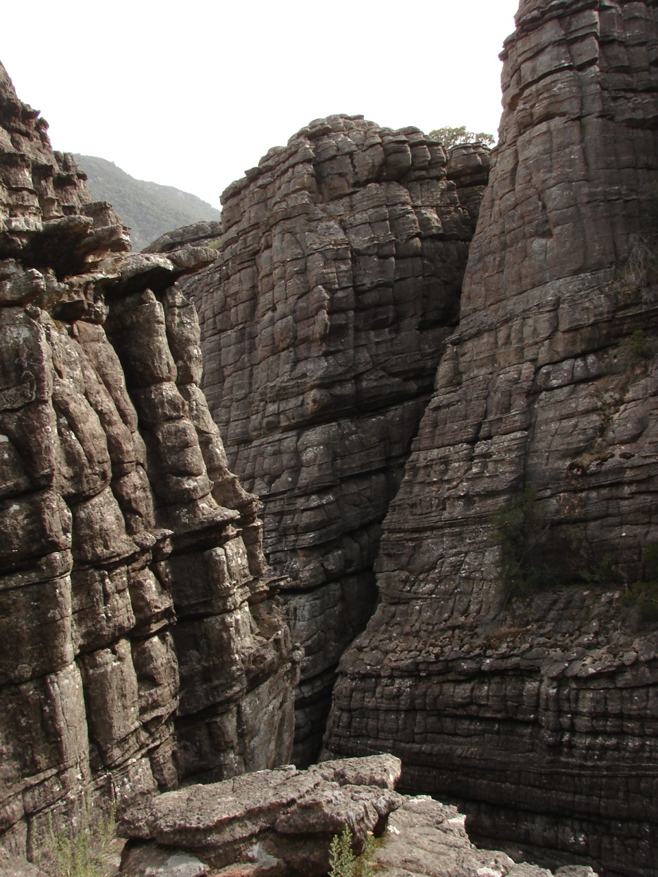 Sight · 3.2 km awayGrand CanyonA narrow sandstone gorge with ladders and seasonal cascades
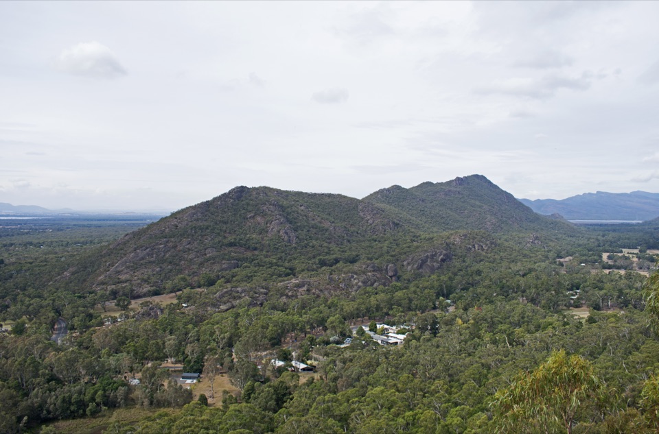 Sight · 4.2 km awayBoronia Peak360-degree views over Halls Gap, Lake Fyans, and the ranges
Parkwolf’s Grampians ranking

The audio tour guide for the drive, plus offline maps, trails, and wildlife heatmaps for when the signal drops.




