Parking
Chimney Pots car park off Glenelg Valley Road; the access road is unsealed and the car park has no facilities.
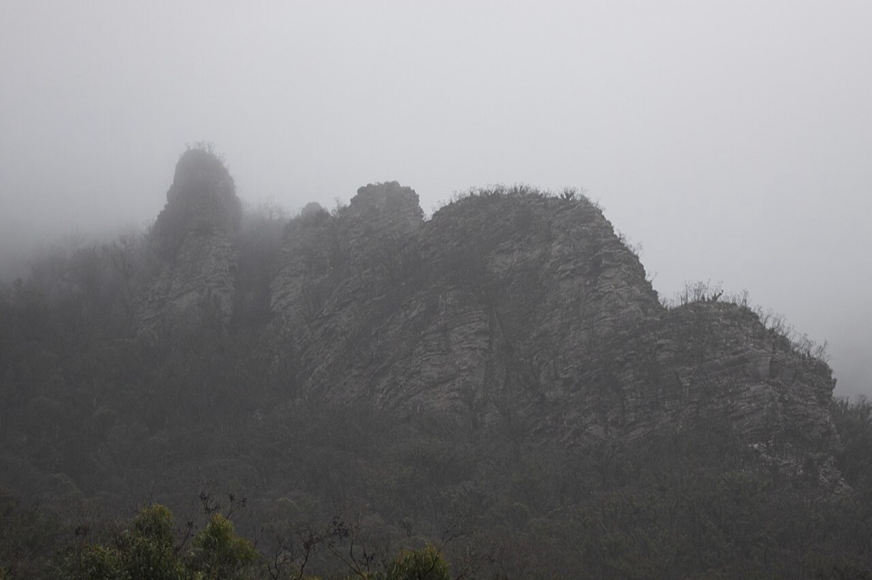
Grampians National Park, VIC
Short, steep sandstone loop with scrambly ledges and big ridge views
Overview
Map & elevation
Plan your hike

The highest, rockiest slopes around here are a summer buffet for grizzly bears.
Grampians Tour Guide
Parkwolf is a GPS audio tour guide for Grampians National Park. As you drive, it chimes in with what’s ahead: hidden gems, upcoming stops, history, geology, and wildlife, right through your car’s speakers.
Recorded for this trailhead
Chimney Pots: Around the Sandstone Towers“You're nearing the Chimney Pots car park, where a quieter hike takes you around a cluster of sandstone towers. The appeal is seeing those cliffs and ledges from different angles as the track circles the formation.”
Plays as you drive up to this trailhead in the Parkwolf Grampians Tour Guide.
More stories near here in the app
“Fantastic app with many points of information… It’s great to just turn on while you’re driving and it gives you an audio tour of the national Park. We love it!!!!”


Trail guide
A 3.7 km return loop from the Chimney Pots car park, around the Chimney Pots formation and back to the same spot. Most people take about 1.5 to 2 hours. It is rated Grade 4 (Hard), and the distance undersells it.
The route starts near 452 m and tops out around 746 m, so you gain and lose that height in under 4 km. Expect hands-on rocky sections and steady steep grades rather than a graded path. Comfortable footwear with grip and some scrambling confidence make a real difference. If you are unsure about exposed rock, the side trip to the prow is the part to think twice about.
The Chimney Pots are a giant sandstone mass with distinct cliffs and ledges, which is why the formation is popular with rock climbers. Walking around its base and up its flanks gives you the scale of it from several angles, and the greener valley on the descent is a nice contrast to the open rock above.
This sits within a remote and natural area, so treat it accordingly:
Stay back from cliff tops and pick your line carefully on wet or loose rock.
The car park is off Glenelg Valley Road, which is unsealed. There are no facilities at the car park, so sort out anything you need before you arrive.
Dogs are not permitted, with assistance dogs the exception under the applicable entry requirements. No fishing, firearms, fires, horses, camping, generators or bicycles.
Wildlife
 157 sightingsShort-beaked EchidnaMost seen around 6 PMSighting map
 37 sightingsPowerful OwlMost seen around 6 PMSighting map
 59 sightingsWedge-tailed EagleMost seen around 11 AMSighting map
 24 sightingsEastern Brown SnakeMost seen around 11 AMSighting map
 10 sightingsTiger SnakeMost seen around noonSighting map
 29 sightingsRed-bellied Black SnakeMost seen around 11 AMSighting map
Sighting maps show where each species has been reported across Grampians. Wildlife moves, so no sighting is guaranteed.
Keep exploring
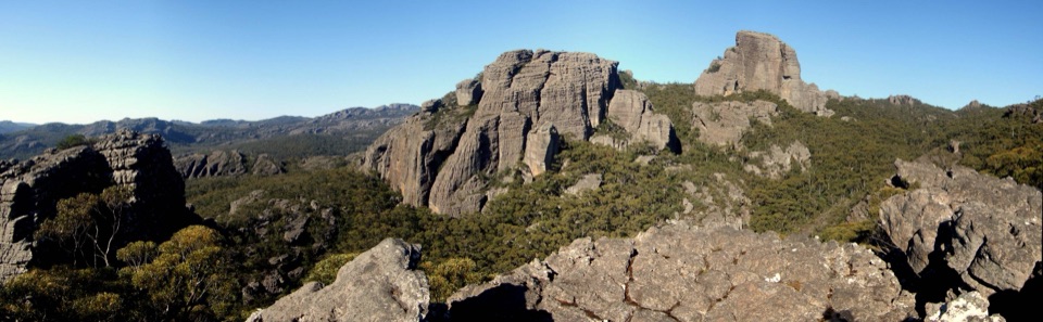 ChallengingThe Fortress Walk6.5 km · 3 hr · 10 km awayA steep scramble to weathered sandstone towers and cavesChallengingThe Fortress and Mt Thackeray Overnight Hike40.4 km · 18 hr · 10 km awayTwo-day sandstone loop to remote clifftops, big views, rough 4WD tracks
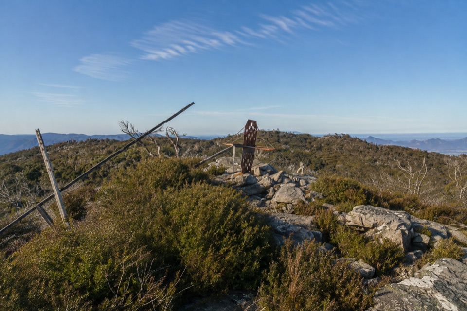 ChallengingMount Thackeray Summit Walk2.7 km · 1.5 hr · 13.6 km awayShort, steep rock scramble to a broken trig with sweeping range views
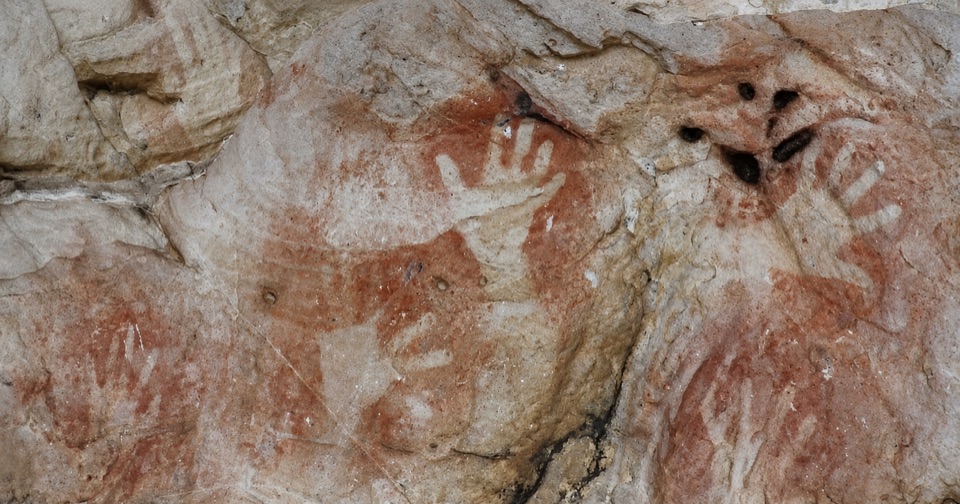 ModerateManja Shelter Walk2.6 km · 1 hr · 13.8 km awayUphill through stringybark to a sandstone shelter of ancient hand stencils
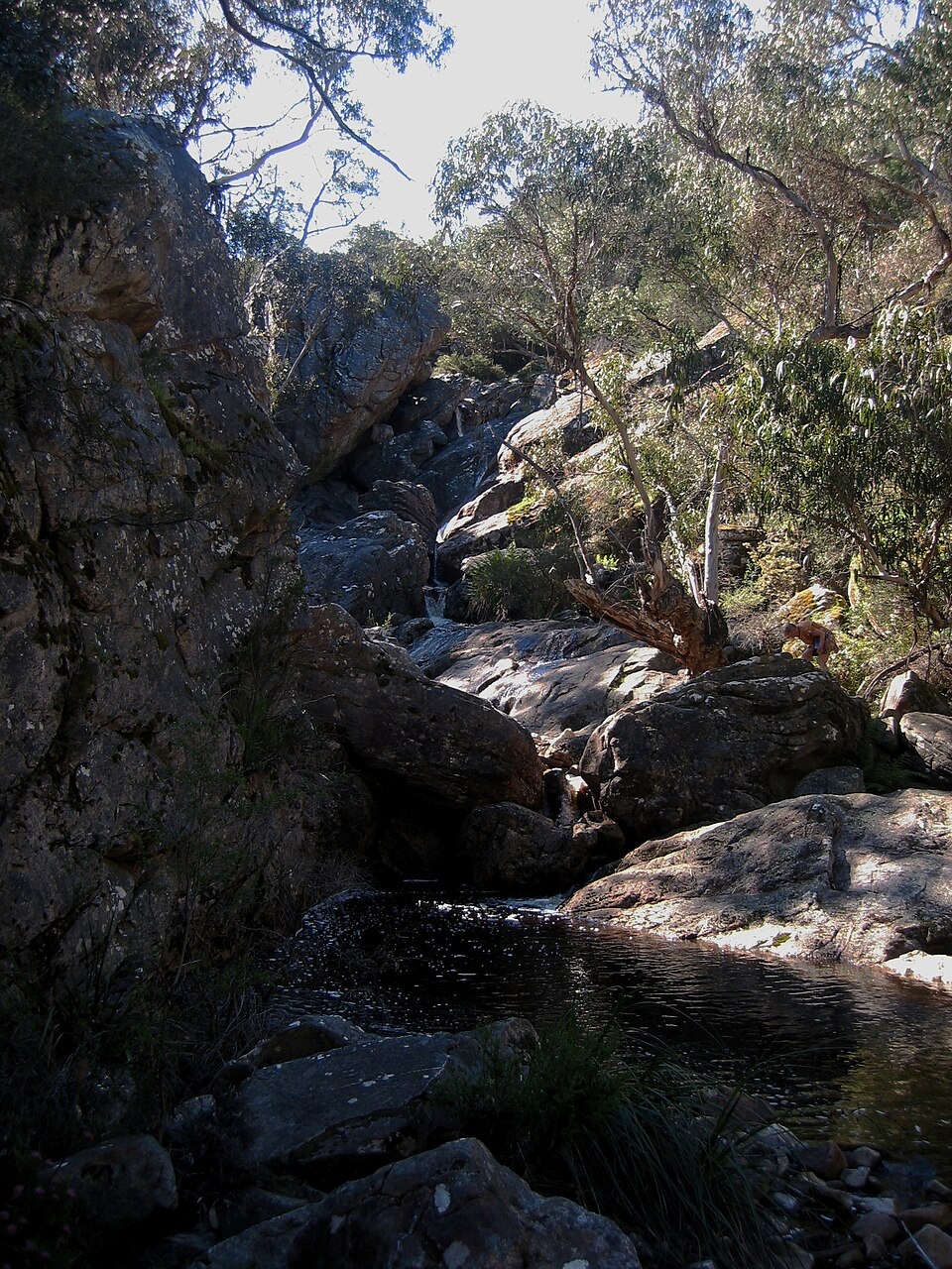 ModerateBuandik Falls Walk1.2 km · 1 hr · 15.9 km awayShort creek walk to a rocky cascade and pool in remote bushland
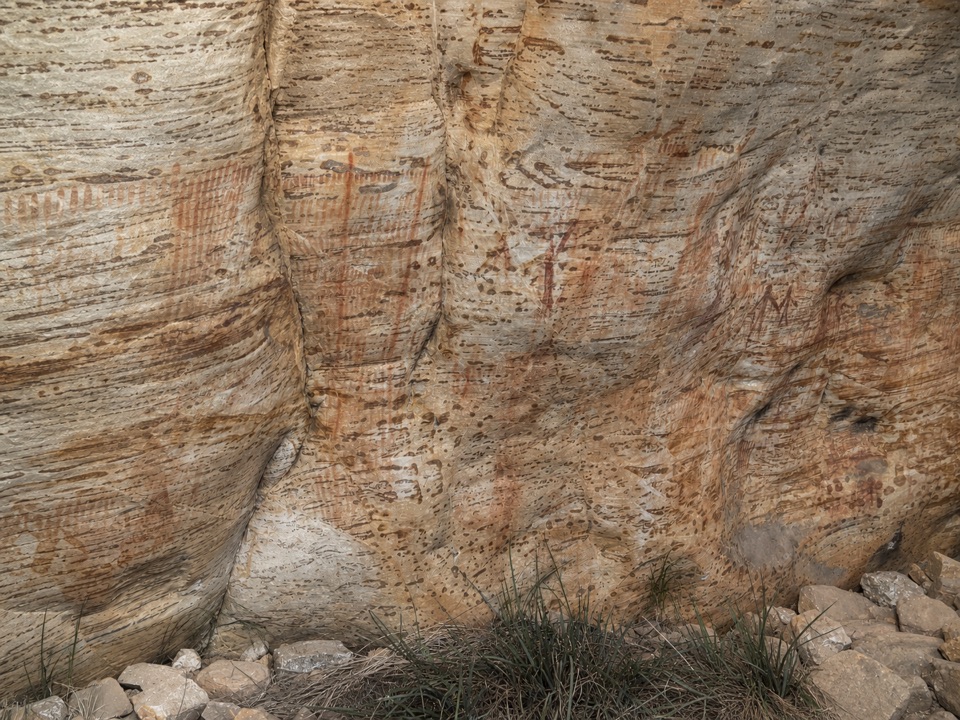 ModerateBillimina Walk2.2 km · 1 hr · 15.9 km awayShort climb past a falls to a rock shelter of ochre motifs
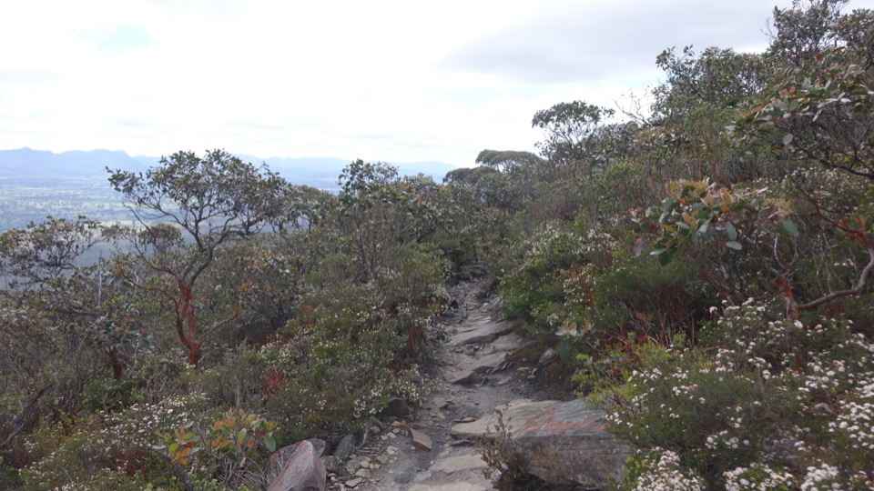 ChallengingDjardji-djawara and Mud-dadjug 3-day Hike33.4 km · 18 hr · 20 km awaySkyline traverse over Signal Peak and Mt Abrupt, finishing in Dunkeld
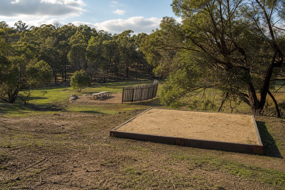 ChallengingWannon Overnight Hike12.1 km · 7 hr · 22.2 km awaySix knolls, wetland edges, and one night in a quiet grassy gully
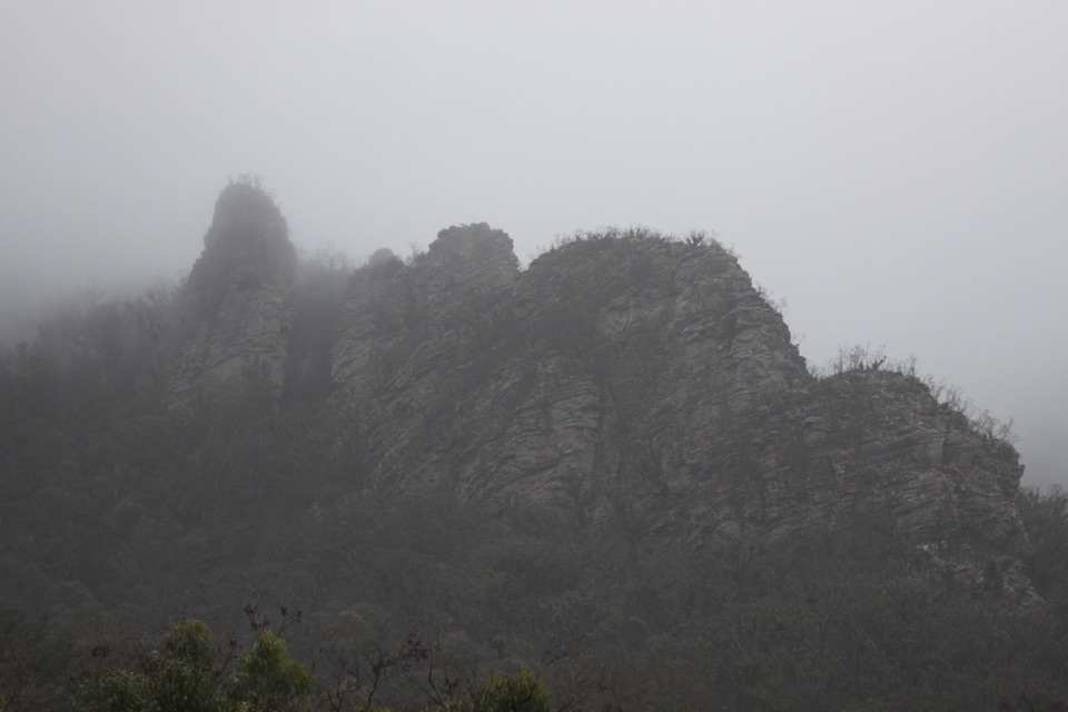 Sight · 1.2 km awayChimney PotsTowering sandstone pillars above a steep, quiet bushwalk
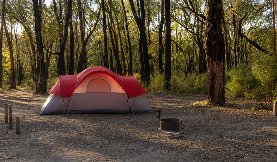 Campground · 4 km awayStrachans CampgroundA secluded camp beside the Glenelg headwaters in eucalyptus woodlandSight · 10.6 km awayThe Fortress WalkSandstone fortress walls and wild Victoria Range views
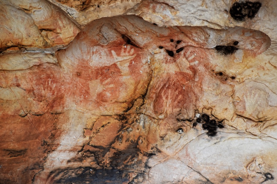 Sight · 13 km awayManja ShelterHand stencils and rock art beneath a quiet Victoria Range shelter
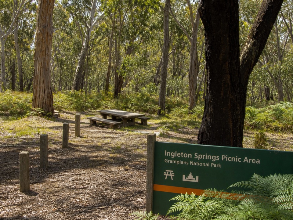 Picnic area · 15.2 km awayIngleton Springs Picnic AreaA quiet eucalyptus picnic stop in a ferny spring clearing
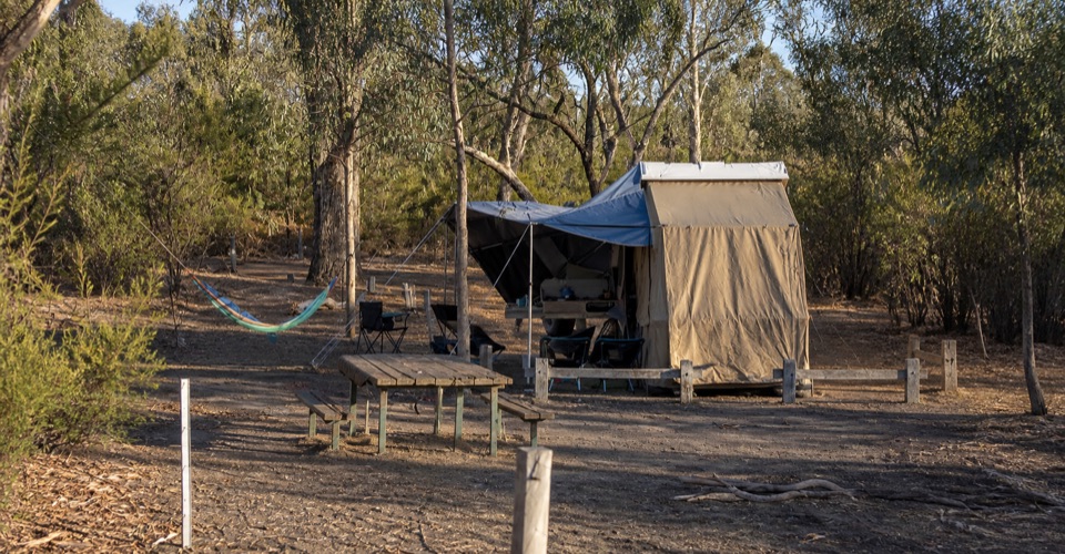 Campground · 15.7 km awayBuandik CampgroundA quiet base for waterfalls and ancient rock art shelters
Parkwolf’s Grampians ranking

The audio tour guide for the drive, plus offline maps, trails, and wildlife heatmaps for when the signal drops.





