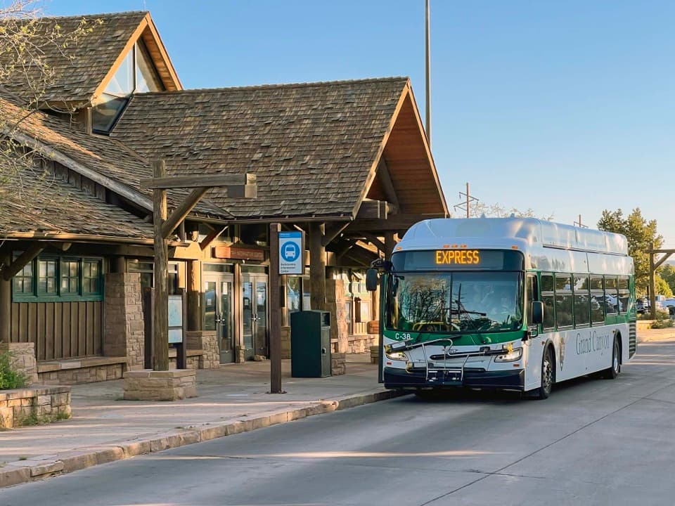
Backcountry Information Center in Grand Canyon National Park

Visitor center · Grand Canyon National Park

Backcountry Information Center

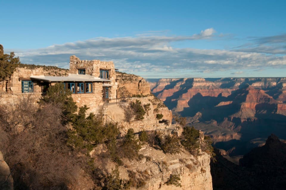
Get a backcountry plan from staff before you head below the rim.

Photo: National Park Service
Type
Visitor center
Nearest trail
0.3 mi
Audio stories
17 nearby
  • Restrooms
  • Parking

Hear the audio tour

Backcountry Information Center and Maswik

Overview

About Backcountry Information Center

Why stop

  • Staff can help sort through route, weather, water, and gear questions.

Heads up

  • Last-minute overnight permits are limited and never guaranteed.

Map

Where it is

Loading the Grand Canyon map
Full map
Visitor centerBackcountry Information Center36.05237, -112.14366
Keep this map with you offline in the Parkwolf app

Plan your stop

Before you go

4 active Grand Canyon alerts

  • ClosureInner Canyon and North Rim trail closuresDo not enter the closed trails, bridges, campgrounds, and inner-canyon areas.Official details
  • ClosureNorth Rim scenic roads closed for repairsCape Royal Road and Point Imperial Road are closed from sunset October 15 through sunrise November 3, 2026. - The roads are closed to accommodate critical road repair and rehabilitation work.Official details

See all 4 alerts
A park ranger sits on a dash-mounted phone, talking, as Parkwolf’s Tour Guide plays “Army Cutworm Moths: A Grizzly Bear Buffet” on Grand Loop Road below Dunraven Pass in Yellowstone
Parkwolf Tour GuideThe highest, rockiest slopes around here are a summer buffet for grizzly bears.

Grand Canyon Tour Guide

Your drive to Backcountry Information Center, narrated.

Parkwolf is a GPS audio tour guide for Grand Canyon National Park. As you drive, it chimes in with what’s ahead: hidden gems, upcoming stops, history, geology, and wildlife, right through your car’s speakers.

See the Grand Canyon audio tour

Recorded for this place

Backcountry Information Center and Maswik
0:00 / 0:34
“You're approaching the Backcountry Information Center near Maswik Lodge. Stop here if you're planning a canyon hike and want staff help with routes, water sources or the demands of the trip.”

Plays as you drive up to Backcountry Information Center in the Parkwolf Grand Canyon Tour Guide.

More stories near here in the app

  • Bright Angel Lodge and Lookout Studio
  • El Tovar’s Architecture and Dining
  • Trailview Overlook and Rim Fossils
  • A Railway Built for Ore
  • 79 audio storiesacross Grand Canyon’s roads, triggered by GPS as you drive
  • Wildlife heatmapsfor California Condor, Bighorn Sheep, American Bison, and 13 more
  • Works offlinemaps, 73 trails, 96 places, and audio download before you lose signal
  • CarPlay readysimple controls built for the drive
★★★★★
“Fantastic app with many points of information… It’s great to just turn on while you’re driving and it gives you an audio tour of the national Park. We love it!!!!”
JMJamesApp Store review
Download Parkwolf on the App StoreGet Parkwolf on Google Play

4.7 from 8,600+ ratings

Guide

More about Backcountry Information Center

Get your canyon plan hereThis is the South Rim's backcountry permit and trip-planning office in Grand Canyon Village,…

This is the South Rim's backcountry permit and trip-planning office in Grand Canyon Village, beside Parking Lot D. Staff help hikers work through routes, weather, water and gear before day hikes or trips below the rim. Day hikes do not require a permit; overnight camping below the rim does. Last-minute permits are limited and never guaranteed, so plan ahead instead of building an overnight trip around a walk-in.

Use Lot D as your launch pointParking Lot D has 150 standard spaces and 30 sized for RVs or buses.

Parking Lot D has 150 standard spaces and 30 sized for RVs or buses. It is a short walk to the canyon edge, Bright Angel Trailhead and the Hermit Road shuttle stop. The site also has accessible flush restrooms and potable water with a bottle-filling station.

If you're heading to South KaibabThe Hikers' Express stop here is a useful link to South Kaibab Trailhead, whose road is closed…

The Hikers' Express stop here is a useful link to South Kaibab Trailhead, whose road is closed to private vehicles. Service changes by season, so check the park's shuttle timetable before you rely on it. If you're not planning a hike into the canyon, the value here is mostly practical rather than scenic.

Wildlife

Wildlife in Grand Canyon

All Grand Canyon wildlife maps

Sighting maps show where each species has been reported across Grand Canyon. Wildlife moves, so no sighting is guaranteed.

Keep exploring

Near Backcountry Information Center

See it all on the map

Trails nearby

More stops nearby

Parkwolf’s Grand Canyon ranking

Top sights in Grand Canyon

All 96 places
  1. 1Mather PointSight
  2. 2Desert View WatchtowerSight
  3. 3Yavapai Geology MuseumSight
  4. 4Hopi PointSight
  5. 5Toroweap OverlookSight
  6. 6Point ImperialSight

Take Parkwolf to Grand Canyon.

The audio tour guide for the drive, plus offline maps, trails, and wildlife heatmaps for when the signal drops.

4.7 from 8,600+ ratings

Download Parkwolf on the App StoreGet Parkwolf on Google Play