Parking
Start at the Greenway Trailhead/Park and Ride on Tusayan’s north side, west of US 64 near the north roundabout. The facility is listed with about 100 parking spaces and a vault restroom.
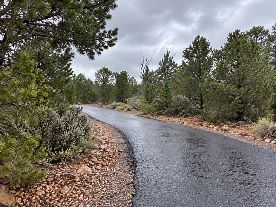
Grand Canyon National Park, AZ
A paved climb from Tusayan to the South Rim visitor center.
Overview
Map & elevation
Plan your hike

The highest, rockiest slopes around here are a summer buffet for grizzly bears.
Grand Canyon Tour Guide
Parkwolf is a GPS audio tour guide for Grand Canyon National Park. As you drive, it chimes in with what’s ahead: hidden gems, upcoming stops, history, geology, and wildlife, right through your car’s speakers.
See the Grand Canyon audio tourRecorded for this area
The Canyon’s Missing Billion Years“Rocks touching each other can be more than a billion years apart in age. In parts of the canyon, the Tapeats Sandstone rests directly on ancient rock that formed deep underground.”
Plays on the road 1 mi from the trailhead in the Parkwolf Grand Canyon Tour Guide.
More stories near here in the app
“Fantastic app with many points of information… It’s great to just turn on while you’re driving and it gives you an audio tour of the national Park. We love it!!!!”


Trail guide
The Tusayan Greenway is a 6.5-mile, one-way paved walk from the Greenway Trailhead/Park and Ride at Tusayan’s north end to the Grand Canyon Visitor Center near Mather Point. It climbs steadily toward the South Rim, gaining about 500 feet; allow around 3 to 3½ hours on foot. It’s a through route, not a loop.
A seasonal shuttle with bike racks has connected Tusayan and Mather Point; check service before relying on it. You can also arrange a pickup or walk back for about 13 miles round trip. A valid Grand Canyon pass is required for the in-park portion. There are no services, drinking water or cell coverage along the Greenway, so carry what you need before leaving Tusayan.
The path runs through ponderosa pine woodland on smooth pavement. It is a practical way to walk or ride into the South Rim visitor area, rather than a canyon descent or a rim-edge hike. The Greenway was fully paved in 2016 and forms part of the Arizona National Scenic Trail. Leashed dogs are allowed on above-rim trails, but pets cannot ride park shuttle buses, so dog owners need another return plan.
Wildlife
 718 sightingsCalifornia CondorMost seen around 5 PMSighting map
 533 sightingsBighorn SheepMost seen around 7 AMSighting map
 169 sightingsAmerican BisonMost seen around 7 PMSighting map
 1,891 sightingsElkMost seen around 6 AMSighting map
 59 sightingsCoyoteMost seen around 6 PMSighting map
 27 sightingsGray FoxMost seen around 6 AMSighting map
Sighting maps show where each species has been reported across Grand Canyon. Wildlife moves, so no sighting is guaranteed.
Keep exploring
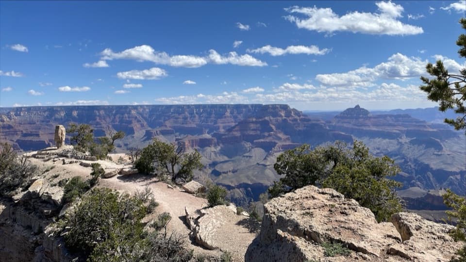 EasyShoshone Point Trail2 mi · 1.5 hr · 5.1 mi awayPines open to a rugged rim point with a North Rim view.
 ChallengingBright Angel Trail7.8 mi · 4.5 hr · 5.6 mi awayCanyon layers, mule trains and a 4,400-foot descent to the river.
 ChallengingPlateau Point Trail12 mi · 10.5 hr · 5.6 mi awayA long descent earns a wide view of the Colorado River.
 ChallengingSouth Kaibab Trail6.3 mi · 5 hr · 5.7 mi awayA steep ridge descent with a first river view at Skeleton Point.
 ModerateRim Trail12.8 mi · 7 hr · 5.7 mi awayThe full 12.8-mile rim walk, easiest to sample by shuttle.
 ChallengingRim-to-Rim: South Kaibab to North Kaibab21 mi · 16 hr · 5.7 mi awayA one-way canyon crossing from the South Rim to the North Rim.ChallengingSouth Kaibab–Bright Angel Loop15.8 mi · 14 hr · 5.7 mi awayA 15.8-mile canyon traverse from South Kaibab to the Bright Angel rim.
 EasyThe Trail of Time3.3 mi · 2 hr · 6.2 mi awayA paved timeline where every meter spans a million years.
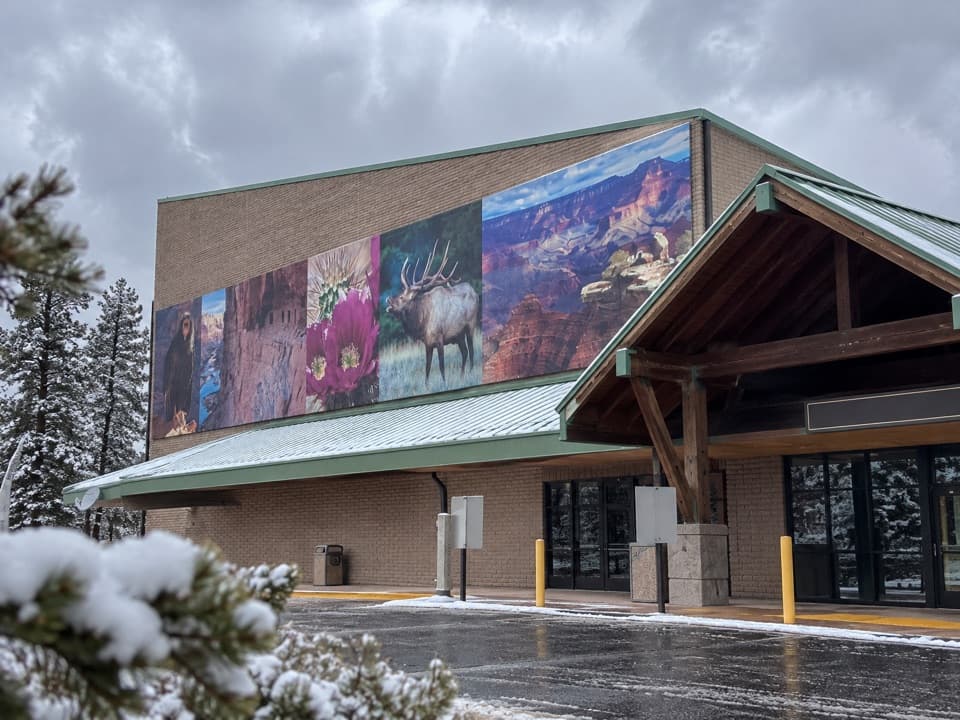 Sight · 0.2 mi awayGrand Canyon Visitor Center IMAXA big-screen canyon primer before the South Rim.
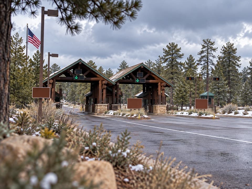 Entrance station · 1.6 mi awaySouth Entrance StationSort your pass and map before the drive onto the South Rim.
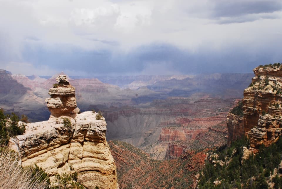 Scenic pullout · 4.2 mi awayDuck on a RockA named rock profile makes this quick canyon pullout memorable.
 Scenic pullout · 4.6 mi awayTwin OverlooksTwo quick pullouts for a big canyon view from the road.
 4.9 mi awayGrand Canyon ClinicUrgent care and family medicine in South Rim Village.
 Campground · 5 mi awayMather CampgroundA pine-shaded base for exploring the South Rim.
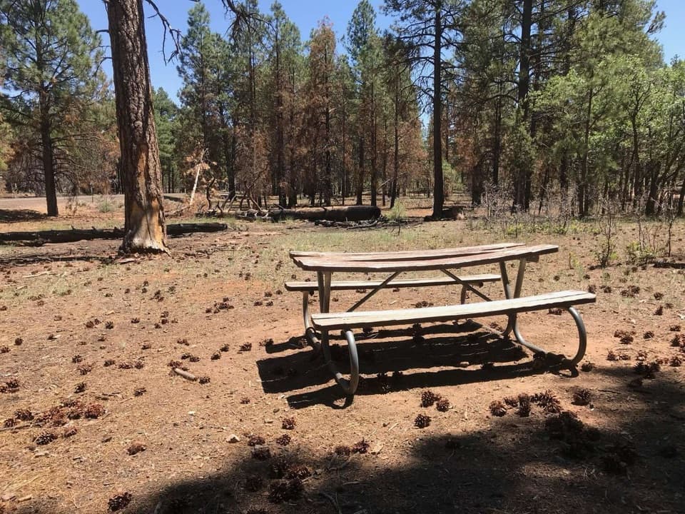 Picnic area · 5.1 mi awayRange Road Picnic AreaA practical picnic break beneath the pines along Desert View Drive.
 Sight · 5.2 mi awayPipe Creek VistaA canyon view framed by Mather and Yaki points.
Parkwolf’s Grand Canyon ranking

The audio tour guide for the drive, plus offline maps, trails, and wildlife heatmaps for when the signal drops.

