Signal Mountain Trail in Grand Teton National Park

Grand Teton National Park, WY

Signal Mountain Trail

A steady forest climb earns Jackson Lake and Teton views.

Photo: National Park Service
Length
6.8mi
Time
4hr
Elev. change
620ft
Difficulty
Moderate
  • Loop
  • No dogs
  • High point 7,464 ft
  • #33 of 70 in Grand Teton

Hear the audio tour

Signal Mountain Lodge: Lunch or Time on the Lake

Overview

About Signal Mountain Trail

Why go

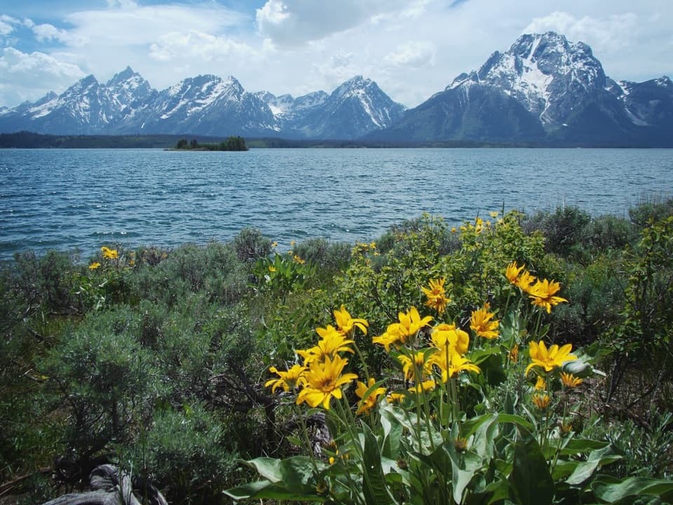
  • Jackson Point gives a broad view of the Tetons, Jackson Lake and Jackson Hole
  • The lower loop offers a wooded lakeside branch and an open meadow return

Heads up

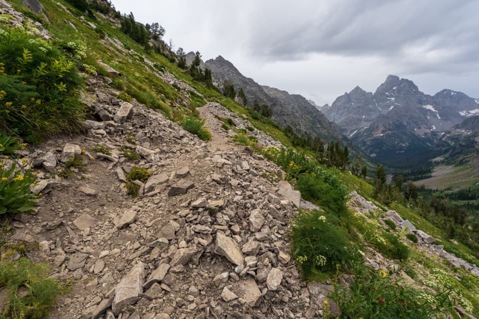
  • A steady climb on narrow trail with exposed roots and rocks
  • The signed trailhead is about 0.2 mile from the lodge parking area

Map & elevation

The route

Loading the Grand Teton map
Full map
Elevation6,844–7,464 ft
TrailheadSignal Mountain Lodge Parking Area43.84293, -110.61104
Keep this map with you offline in the Parkwolf app

Plan your hike

Before you go

Parking

Park in the main Signal Mountain Lodge lot. The signed trailhead is about 0.2 mile away across the entrance road, near the employee housing area; walk along the road past the general store and campground registration, or take the unmarked paved path east of registration.

Safety

The narrow, winding trail has exposed roots and rocks. Cross Teton Park Road and Signal Mountain Road; pets are prohibited.

2 active Grand Teton alerts

  • ClosureJackson Lake boat ramps closed; Signal launch riskMentions Jackson Lake, referenced in this guideColter Bay and Leeks boat ramps are closed; Signal Mountain Boat Ramp is open, but water is below the ramp edge and loose cobbles make launching risky.Official details
  • ClosureConstruction closures and delaysConstruction is causing current road and area closures and delays across Grand Teton; use the signed Taggart Trail detour. - Moose-Wilson Road is closed between Moose and Laurance S.Official details
Grand Teton alerts
A park ranger sits on a dash-mounted phone, talking, as Parkwolf’s Tour Guide plays “Army Cutworm Moths: A Grizzly Bear Buffet” on Grand Loop Road below Dunraven Pass in Yellowstone
Parkwolf Tour GuideThe highest, rockiest slopes around here are a summer buffet for grizzly bears.

Grand Teton Tour Guide

Your drive to Signal Mountain Trail, narrated.

Parkwolf is a GPS audio tour guide for Grand Teton National Park. As you drive, it chimes in with what’s ahead: hidden gems, upcoming stops, history, geology, and wildlife, right through your car’s speakers.

See the Grand Teton audio tour

Recorded for this trailhead

Signal Mountain Lodge: Lunch or Time on the Lake
0:00 / 0:35
“You're approaching Signal Mountain Lodge and Marina, a useful stop for a meal or an outing on Jackson Lake. For a casual lunch, Trapper Grill serves burgers, specialty sandwiches and nachos.”

Plays as you drive up to this trailhead in the Parkwolf Grand Teton Tour Guide.

More stories near here in the app

  • The Signal in Signal Mountain
  • Chapel of the Sacred Heart and Catholic Bay
  • Scratches Left by Ice
  • Jackson Lake Dam: A Natural Lake Raised Higher
  • 118 audio storiesacross Grand Teton’s roads, triggered by GPS as you drive
  • Wildlife heatmapsfor Grizzly Bear, Brown Bear, Gray Wolf, and 13 more
  • Works offlinemaps, 70 trails, 121 places, and audio download before you lose signal
  • CarPlay readysimple controls built for the drive
★★★★★
“…We have been driving around with the audio tour and it has been informational and spot on. The whole family has been impressed. We used it for Yellowstone and Grand Teton.”
KWaz1122App Store review
Download Parkwolf on the App StoreGet Parkwolf on Google Play

4.7 from 8,600+ ratings

Trail guide

Hiking Signal Mountain Trail

The hike in a nutshellSignal Mountain Trail is a 6.

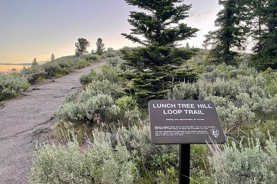
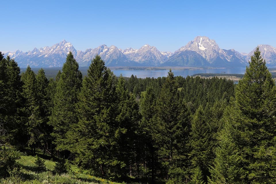
Signal Mountain Trail is a 6.8-mile round-trip out-and-back from the Signal Mountain Lodge parking area to Jackson Point Overlook, with a short loop on the lower mountain. Allow three to five hours for a moderate climb of about 980 feet. The payoff is a wide view over Jackson Lake, the Tetons, Jackson Hole and the Gros Ventre Mountains. It is a good pick if you want to earn the view on a real half-day hike. Take the Lake side going up and the Ridge side coming down. If you want a shorter walk, nearby Lunch Tree Hill is a half-mile loop.

A wooded approachThe signed trailhead is about 0.2 mile from the lodge parking area.

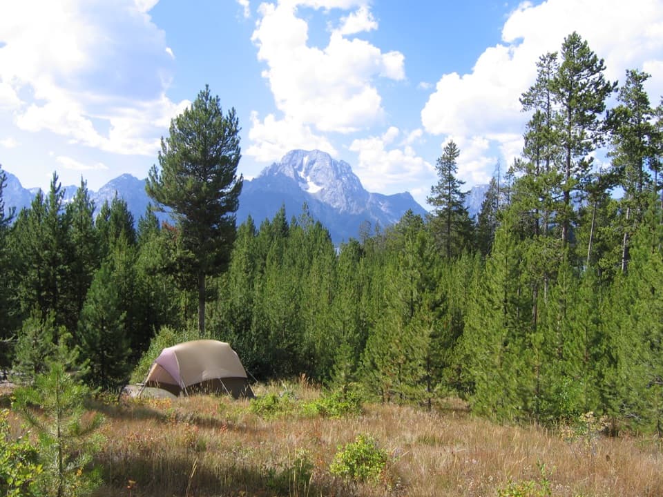
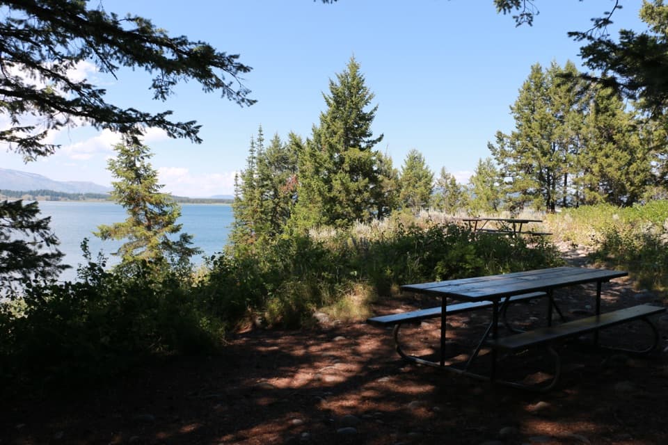
The signed trailhead is about 0.2 mile from the lodge parking area. After reaching it, cross Teton Park Road, then climb to and cross Signal Mountain Road near the half-mile mark from the lot. A lily pond lies just beyond the first crossing; keep an eye out for moose. Much of the early route stays under conifers, with a view of Mount Moran opening around two-thirds of a mile in.

Take the Lake side upAt just over 0.7 mile, a fork begins the short lower loop.

At just over 0.7 mile, a fork begins the short lower loop. The southern Lake side is flatter and more wooded, passing a small lake. Take it on the way up, then use the northern Ridge side on the return. That branch rolls up and down more, but opens into a sagebrush meadow with broad Teton views. The sides rejoin around 2.2 miles from the parking area.

Jackson Point is the turnaroundAfter the loop, the trail climbs through lodgepole pine forest and grassy meadows to Jackson…

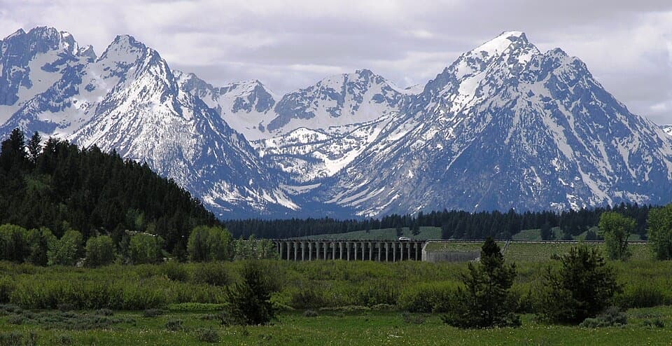
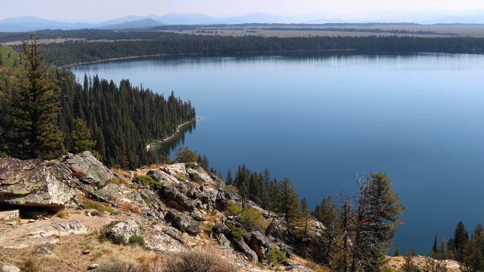
After the loop, the trail climbs through lodgepole pine forest and grassy meadows to Jackson Point Overlook, about 3.5 miles from the lot. This is the hike's destination, below Signal Mountain's drive-up summit. The view takes in the Teton Range, Jackson Lake, Jackson Hole and the Gros Ventre Mountains. For a photo, keep the lake below the peaks so both the foreground and the distance show. The overlook is named for photographer William Henry Jackson, who photographed the area during the Hayden Geological Survey's 1878 work.

Make the lodge start workUse the main Signal Mountain Lodge parking area; the signed trailhead is across the entrance…

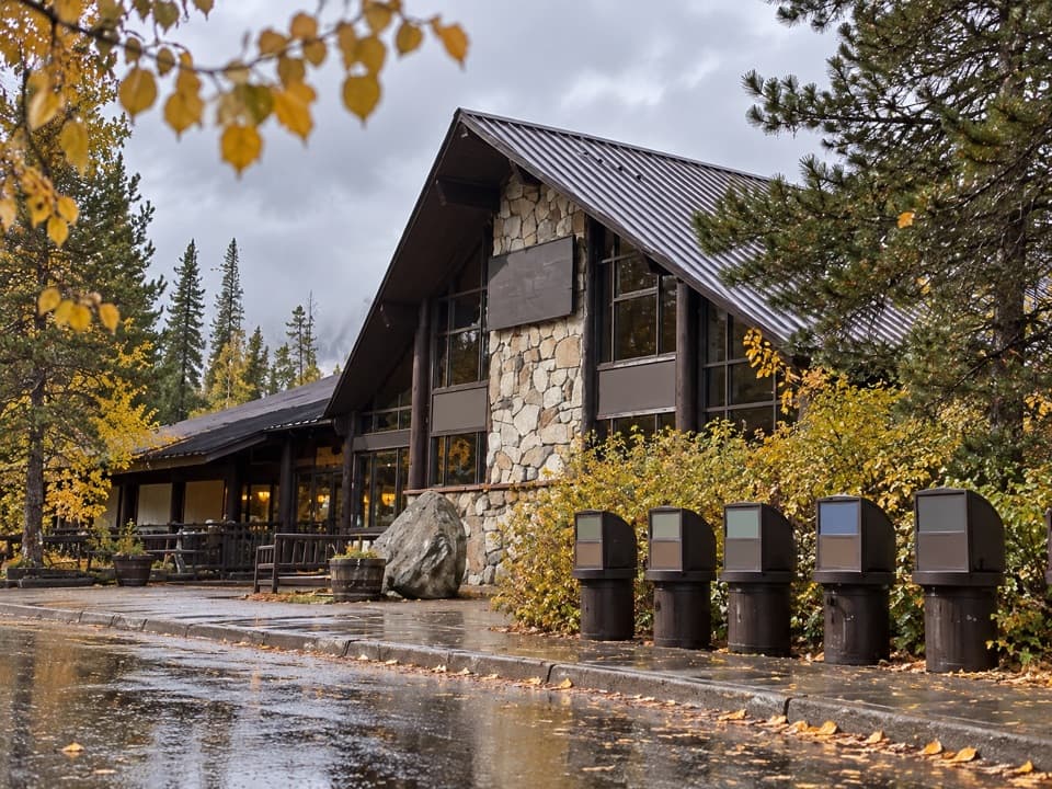
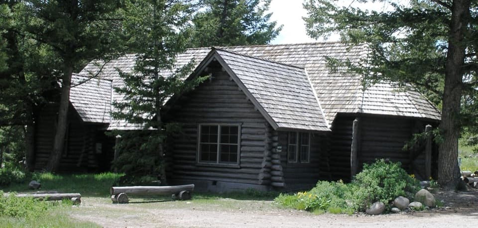
Use the main Signal Mountain Lodge parking area; the signed trailhead is across the entrance road near the employee housing area. You can walk along the road past the general store and campground registration, or take the unmarked paved path just east of registration. The lodge has restaurants and a general store for before or after the hike, not along the trail. A park entrance fee applies; there is no separate activity fee or reservation. Pets are not allowed.
Wildlife

Wildlife in Grand Teton

All Grand Teton wildlife maps

Sighting maps show where each species has been reported across Grand Teton. Wildlife moves, so no sighting is guaranteed.

Keep exploring

Near Signal Mountain Trail

See it all on the map

Trails that start nearby

Places near the trailhead

Parkwolf’s Grand Teton ranking

Top-rated trails in Grand Teton

All 70 trails
  1. 1Teton Crest TrailChallenging · 39 mi
  2. 2Paintbrush Canyon - Cascade Canyon LoopChallenging · 19.9 mi
  3. 3Lake Solitude TrailChallenging · 15.1 mi
  4. 4Inspiration Point TrailModerate · 1.8 mi
  5. 5Taggart Lake TrailEasy · 3 mi
  6. 6Delta Lake TrailChallenging · 7.6 mi

Take Parkwolf to Grand Teton.

The audio tour guide for the drive, plus offline maps, trails, and wildlife heatmaps for when the signal drops.

4.7 from 8,600+ ratings

Download Parkwolf on the App StoreGet Parkwolf on Google Play