Sage Steppe Loop in Great Basin National Park

Great Basin National Park, NV

Sage Steppe Loop

Creekside footbridges and open meadow make an easy high-country loop.

Length
1.2mi
Time
1hr
Elev. change
285ft
Difficulty
Easy
  • Loop
  • No dogs
  • High point 8,176 ft

Hear the audio tour

Strawberry Creek: A Short Walk and Wildlife

Overview

About Sage Steppe Loop

Why go

  • Creekside footbridges give the short loop a clear payoff.
  • Two similar-length sides make it easy to choose a direction.

Heads up

  • Open meadow exposure leaves little shade.

Map & elevation

The route

Loading the Great Basin map
Full map
Elevation7,890–8,176 ft
TrailheadStrawberry Creek Trailhead39.05512, -114.30299
Keep this map with you offline in the Parkwolf app

Plan your hike

Before you go

Parking

Strawberry Creek Trailhead is at the end of Strawberry Creek Road. Use the designated spaces; parking along the road or outside marked spaces is prohibited. The nearest pit toilets without running water are 1.5 miles before the trailhead; potable water is unavailable along the road.


Safety

Most of the loop is exposed and there is no potable water along the access road. Narrow tread and stream crossings make it unsuitable for wheelchair access. During the fall rut, stay more than 150 feet from elk.

4 active Great Basin alerts

  • CautionStage II fire restrictions prohibit outdoor fires and smokingStage II fire restrictions are active throughout Great Basin National Park because of extreme fire danger. - Do not use campfires, charcoal grills, or smoke outdoors anywhere in the park.Official details
  • CautionPotable water is unavailable at park campgroundsPotable water is currently unavailable in every Great Basin National Park campground; bring sufficient water or fill containers before settling in.Official details
See all 4 alerts
A park ranger sits on a dash-mounted phone, talking, as Parkwolf’s Tour Guide plays “Army Cutworm Moths: A Grizzly Bear Buffet” on Grand Loop Road below Dunraven Pass in Yellowstone
Parkwolf Tour GuideThe highest, rockiest slopes around here are a summer buffet for grizzly bears.

Great Basin Tour Guide

Your drive to Sage Steppe Loop, narrated.

Parkwolf is a GPS audio tour guide for Great Basin National Park. As you drive, it chimes in with what’s ahead: hidden gems, upcoming stops, history, geology, and wildlife, right through your car’s speakers.

Recorded for this trailhead

Strawberry Creek: A Short Walk and Wildlife
0:00 / 0:23
“You're approaching Strawberry Creek Trailhead, where I'd choose Sage Steppe Loop for a short creekside walk.”

Plays as you drive up to this trailhead in the Parkwolf Great Basin Tour Guide.

More stories near here in the app

  • When Lake Bonneville Reached Baker
  • Mountains Pulled Apart
  • Wheeler Peak Overlook: Find the Rock Glacier
  • Food in the Dark
  • 36 audio storiesacross Great Basin’s roads, triggered by GPS as you drive
  • Wildlife heatmapsfor Elk, Mule Deer, Wild Turkey, and 13 more
  • Works offlinemaps, 29 trails, 29 places, and audio download before you lose signal
  • CarPlay readysimple controls built for the drive
★★★★★
“Fantastic app with many points of information… It’s great to just turn on while you’re driving and it gives you an audio tour of the national Park. We love it!!!!”
JMJamesApp Store review
Download Parkwolf on the App StoreGet Parkwolf on Google Play

4.7 from 8,600+ ratings

Trail guide

Hiking Sage Steppe Loop

A short meadow circuitSage Steppe Loop is an easy 1.

Sage Steppe Loop is an easy 1.2-mile circuit from Strawberry Creek Trailhead through open meadow and along Strawberry Creek before returning to the same parking area. The park lists it at 1.1 miles, but the mapped tread and a detailed walk measurement both come out near 1.2, so plan for the longer figure. Allow 30–90 minutes for roughly 250 feet of climbing. It is a good fit if you want a short creekside walk without taking on the much longer Upper Strawberry hike.

Two halves, one loopThe north and south sides are about the same length and difficulty, so either direction works.

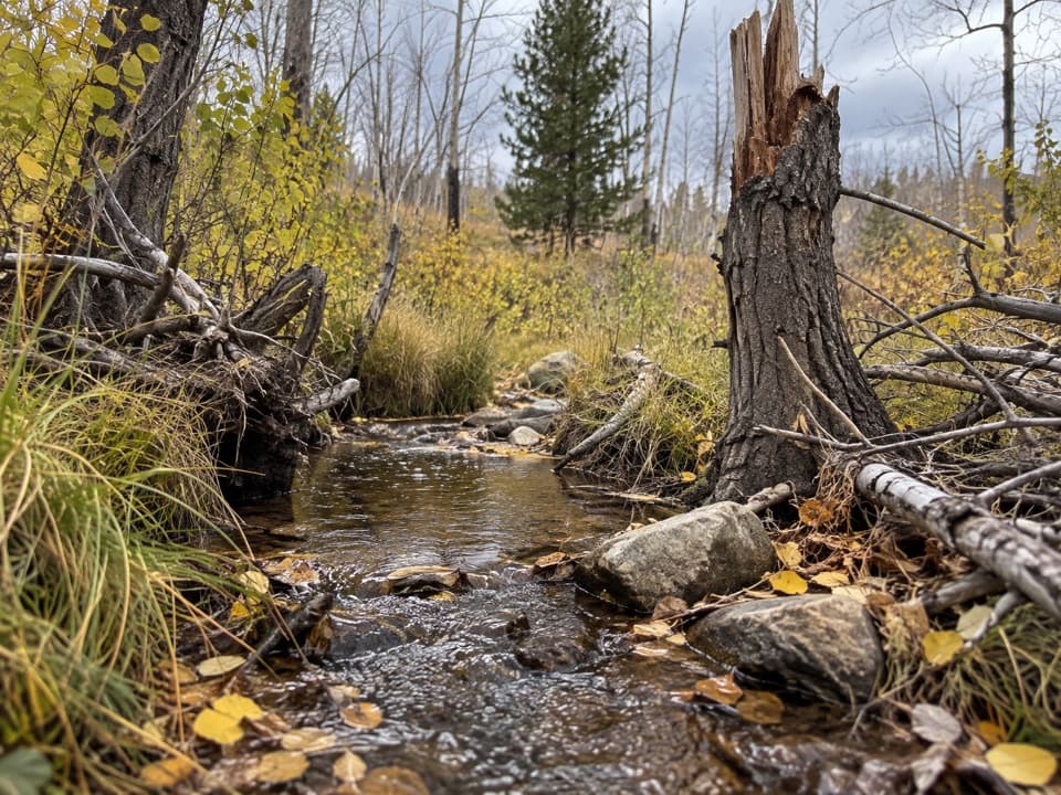
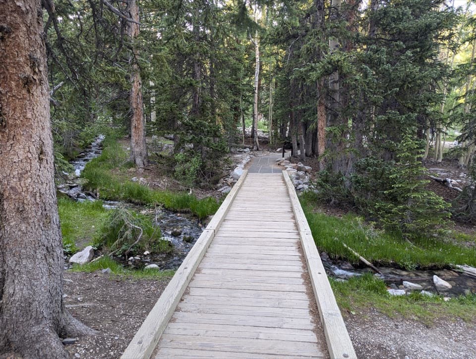
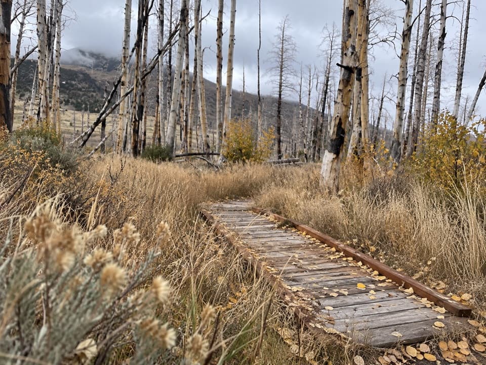
The north and south sides are about the same length and difficulty, so either direction works. On the open meadow side, the tread heads toward the junction with Upper Strawberry. Follow the loop back there; Upper Strawberry continues separately toward a saddle and turns this short circuit into a much longer hike. The creekside half passes several crossings on footbridges. Pause on the bridges and look into the water: this is where you may spot native Bonneville cutthroat trout.

A landscape shaped by fireThe 2016 Strawberry Fire burned more than 4,700 acres in the canyon and hampered efforts to…

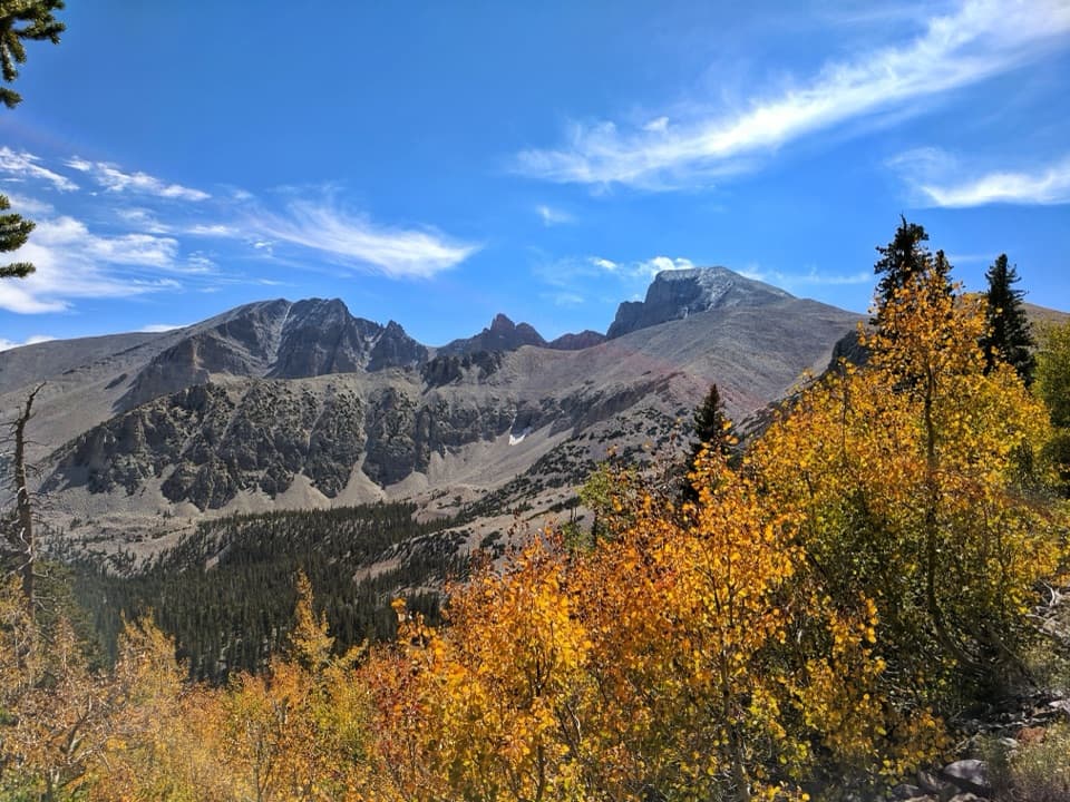
The 2016 Strawberry Fire burned more than 4,700 acres in the canyon and hampered efforts to restore Bonneville cutthroat trout. Much of this loop crosses open meadow with little shade. Spring brings wildflowers, summer offers a high-elevation walk near water, and fall adds aspen color and the elk rut. Early morning in fall can be rewarding for elk bugling; keep more than 150 feet from elk, which can be unpredictable during the rut.

Access and restrictionsStart at Strawberry Creek Trailhead at the end of Strawberry Creek Road.

Start at Strawberry Creek Trailhead at the end of Strawberry Creek Road. Use the designated spaces only; parking along the road is prohibited. There is no potable water along the road, and the nearest pit toilets without running water are 1.5 miles before the trailhead. Narrow trail tread and stream crossings make the route unsuitable for wheelchair access. No separate activity fee or reservation is required, though park entrance fees may apply. Pets are not allowed on park trails; trained service animals are permitted.

Wildlife

Wildlife in Great Basin

All Great Basin wildlife maps

Sighting maps show where each species has been reported across Great Basin. Wildlife moves, so no sighting is guaranteed.

Keep exploring

Near Sage Steppe Loop

See it all on the map

Trails that start nearby

Places near the trailhead

Parkwolf’s Great Basin ranking

Top-rated trails in Great Basin

All 29 trails
  1. 1Bristlecone TrailModerate · 2.8 mi
  2. 2Wheeler Peak Summit TrailChallenging · 8.6 mi
  3. 3Alpine Lakes LoopEasy · 2.7 mi
  4. 4Glacier TrailModerate · 4.8 mi
  5. 5Alpine Lakes, Bristlecone, and Glacier LoopChallenging · 6 mi
  6. 6Baker & Johnson Lakes LoopChallenging · 11.7 mi

Take Parkwolf to Great Basin.

The audio tour guide for the drive, plus offline maps, trails, and wildlife heatmaps for when the signal drops.

4.7 from 8,600+ ratings

Download Parkwolf on the App StoreGet Parkwolf on Google Play