Parking
Park at the roadside area by Castle Cove Lookout off the Great Ocean Road; the trail starts at the tourist lookout. The route ends at a hike-in campsite, so arrange a pickup or other return transport before starting.
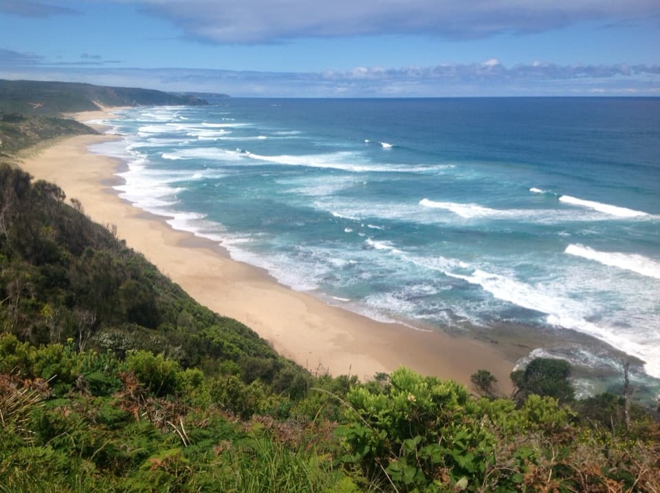
Great Ocean Road, VIC
From clifftop bush to Johanna’s beach and river crossing.
Overview
Map & elevation
Plan your hike

The highest, rockiest slopes around here are a summer buffet for grizzly bears.
Great Ocean Road Tour Guide
Parkwolf is a GPS audio tour guide for Great Ocean Road. As you drive, it chimes in with what’s ahead: hidden gems, upcoming stops, history, geology, and wildlife, right through your car’s speakers.
See the Great Ocean Road audio tourRecorded for this trailhead
Castle Cove Lookout“You're approaching Castle Cove Lookout, where a short path from roadside parking gives you a broad view of the coast and green valley.”
Plays as you drive up to this trailhead in the Parkwolf Great Ocean Road Tour Guide.
More stories near here in the app
“Fantastic app with many points of information… It’s great to just turn on while you’re driving and it gives you an audio tour of the national Park. We love it!!!!”


Trail guide
The Castle Cove-to-Johanna section is a point-to-point leg of the Great Ocean Walk, from Castle Cove Lookout to the Johanna Beach Hiker campsite. Published section descriptions put it at about 4.35 miles (7 km) and 2.5 hours at medium difficulty. The mapped line measures 3.87 miles (6.2 km); the difference reflects the rounded published distance and the variable path across beach sand and at the river. Plan around the 7 km estimate. This is not the 14 km Aire River-to-Johanna day, which adds the separate stretch from Aire River to Castle Cove.
The walk starts at the tourist lookout, where the Great Ocean Road meets the track. Take in the view from the platform before heading out: the route then winds along coastal cliffs and alternates between ocean openings and more enclosed sections. It does not stay on an exposed cliff edge for the whole walk. Castle Cove is also one of the rare places along this stretch where the road meets the Great Ocean Walk, which makes the start straightforward to reach.
Past the lookout, the track passes through heath, grassland and forest. Manna gums, large stands of grass trees and seasonal spring wildflowers give this section a different feel from the open shore at either end. The coast comes back into view at gaps in the vegetation. Peregrine falcons nest around the Castle Cove cliffs, so look up while you are still near the start rather than expecting the wildlife highlight to be on the beach.
The finish opens onto Johanna Beach, then follows about 2 km of beach to the unbridged Johanna River. From there the Great Ocean Walk climbs to its hike-in campsite on the hill above the shore. The sand and the crossing make this a more involved finish than the map’s short distance suggests. Plan for low tide, check the tide, swell and river level before setting out, and do not attempt the crossing when conditions are unsafe. Heavy rain combined with storm surge can make the river difficult or dangerous, and large surf is a lasting feature of this exposed beach.
Allow at least the listed 2.5 hours for walking, with extra time for the lookout, photographs and the beach crossing. There is no verified food or drinking-water stop on this section, so plan to be self-sufficient. Castle Cove Lookout has roadside parking and a short path to its viewing platform. Because the route is one way and ends at a hike-in campsite, arrange a pickup or other return transport before you start. The nearby Johanna Beach drive-in campground is a separate facility; do not count it as an on-route stop. If you plan to stay overnight at the Great Ocean Walk campsite, book it in advance.
The Castle Cove platform gives the broadest look along the coast and into the green valley, while the Johanna campsite sits above the beach you have just crossed. At the western end, include part of the hillside in a beach photo to show how the campsite overlooks the shore. If you only have time for a short stop, the lookout is worthwhile on its own; the full walk needs a second vehicle or a planned pickup.
Wildlife
 900 sightingsKoalaMost seen around 5 PMSighting map
 358 sightingsKangarooMost seen around 6 PMSighting map
 49 sightingsLittle PenguinMost seen around 8 PMSighting map
 155 sightingsEchidnaMost seen around 6 PMSighting map
 33 sightingsFur SealMost seen around 6 PMSighting map
 59 sightingsRed-necked WallabyMost seen around 6 AMSighting map
Sighting maps show where each species has been reported across Great Ocean Road. Wildlife moves, so no sighting is guaranteed.
Keep exploring
 ModerateAire River to Johanna Beach Walk13.8 km · 5.3 hr · 4.7 km awayCoastal heath, Castle Cove, and a long beach finish.
 ModerateAire River Escarpment Lookout Walk4 km · 2 hr · 5 km awayA moderate coastal walk to views across estuary, wetlands and sea.
 ChallengingMilanesia Gate to Moonlight Head Walk11.9 km · 5 hr · 10 km awayA rugged coast walk where the tide decides whether you can start.ModerateMilanesia Beach Walk4 km · 1.5 hr · 10 km awayA steep drop to a remote beach; a harder climb back.
 ModerateMadsen’s Track Nature Walk1.4 km · 42 min · 10.7 km awayA shaded river loop through rainforest to Anne’s Cascades.
 ModerateStation Beach and Rainbow Falls Walk11.5 km · 5 hr · 11 km awayA long sandy walk to a spring-fed waterfall above the surf.
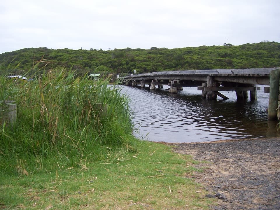 ModerateCape Otway to Aire River Walk9.6 km · 3.8 hr · 11 km awayFollow coastal heath and cliff tops from the Lightstation to Aire River.
 EasyMaits Rest Rainforest Walk0.8 km · 30 min · 11.4 km awayA quick boardwalk loop through giant fern gullies and old rainforest.
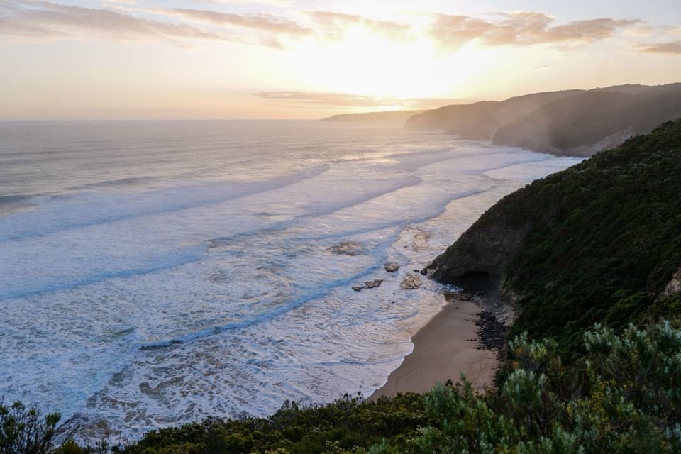 Beach · 4.8 km awayJohanna BeachA long, windswept beach with big surf and a tide-timed walk.
 Campground · 4.8 km awayAire River West CampgroundAn open riverbank base built for caravans, groups and longer stays.
 Campground · 4.8 km awayJohanna Beach CampgroundA grassy coastal base a short walk from Johanna Beach.
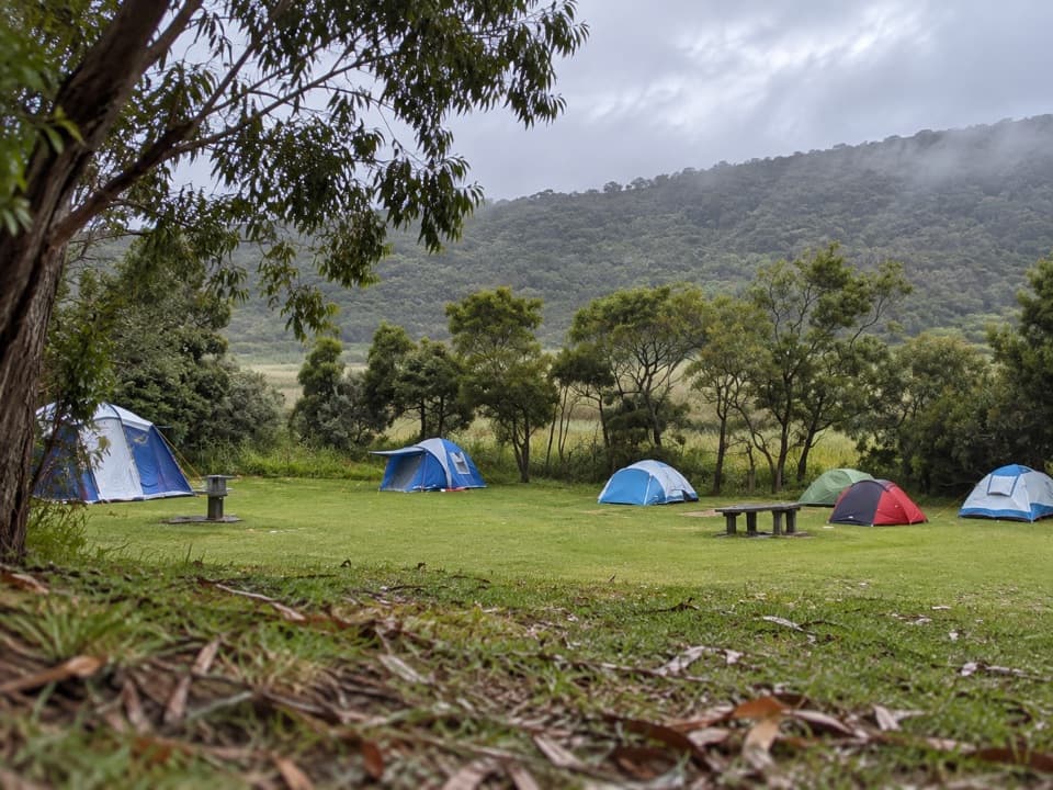 Campground · 5.1 km awayAire River East CampgroundA sheltered estuary camp for self-sufficient paddlers.
 Campground · 9.5 km awayBimbi ParkCamp beneath the gums beside the Great Ocean Walk.Sight · 10.7 km awayMelba Gully Day Visitor AreaA short rainforest loop; glow worms may show after dark.
 Sight · 11 km awayCape Otway LightstationSea cliffs, lighthouse history, a telegraph station and WWII bunker.
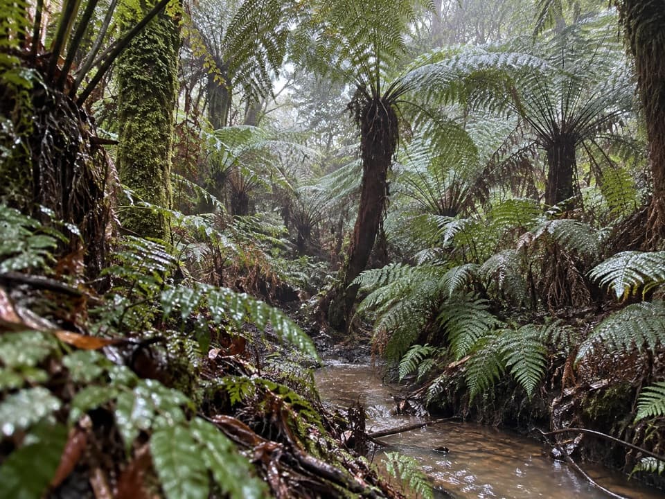 Sight · 11.4 km awayMaits Rest Rainforest WalkA shady boardwalk loop through fern gullies and giant old trees.
Parkwolf’s Great Ocean Road ranking

The audio tour guide for the drive, plus offline maps, trails, and wildlife heatmaps for when the signal drops.




