Parking
Start at Erskine Falls Car Park on Erskine Falls Access Road and finish at Kia Ora (Lorne Foreshore Caravan Park). Arrange a vehicle shuttle or allow about 16 km to walk back to the car.
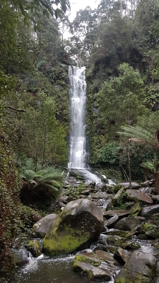
Great Ocean Road, VIC
Stone crossings, ferny falls and rapids on the walk to Lorne.
Overview
Map & elevation
Plan your hike

The highest, rockiest slopes around here are a summer buffet for grizzly bears.
Great Ocean Road Tour Guide
Parkwolf is a GPS audio tour guide for Great Ocean Road. As you drive, it chimes in with what’s ahead: hidden gems, upcoming stops, history, geology, and wildlife, right through your car’s speakers.
See the Great Ocean Road audio tourRecorded for this trailhead
Erskine Falls“You're coming up on Erskine Falls, a thirty-metre waterfall dropping into a gully crowded with tree ferns.”
Plays as you drive up to this trailhead in the Parkwolf Great Ocean Road Tour Guide.
More stories near here in the app
“Fantastic app with many points of information… It’s great to just turn on while you’re driving and it gives you an audio tour of the national Park. We love it!!!!”


Trail guide
Erskine River Track is a point-to-point walk from Erskine Falls Car Park to Lorne Foreshore Caravan Park (Kia Ora). It follows the river downstream past the Sanctuary and Rapids to its tidal mouth at Lorne. Published lengths run from 7.5 to 8 km; plan on about 8 km one way and 2–3 hours. Arrange a pickup at the Lorne end, or budget roughly 16 km and 4–6 hours to walk back. This is a strenuous choice for confident walkers who want a full river journey, not a short add-on to the waterfall lookout.
The first kilometre has frequent crossings over stones and fallen logs. This is a rough river track rather than a groomed path, and it gets slippery when wet. After heavy rain, rising water can make the crossings hazardous; wait for safe conditions rather than trying to force a crossing.
At the falls end, Erskine Falls drops 30 metres into a fern-filled gully. The route then follows the river through the Sanctuary’s natural amphitheatre and on to the Rapids. It finishes by the tidal river mouth in Lorne. The river and its crossings are the point of this walk; don't expect a steady, dry forest path.
Start at Erskine Falls Car Park on Erskine Falls Access Road and finish at Kia Ora. The one-way route needs a vehicle shuttle unless you're prepared to walk the same track back. Dogs on a leash are allowed only on the Lorne-side section as far as the Sanctuary, so pets aren't allowed on the complete Falls-to-Lorne route. The last riverside connection into the foreshore is less clearly mapped than the main track; check the route for the foreshore before setting out and do not improvise a river crossing.
Wildlife
 900 sightingsKoalaMost seen around 5 PMSighting map
 358 sightingsKangarooMost seen around 6 PMSighting map
 49 sightingsLittle PenguinMost seen around 8 PMSighting map
 155 sightingsEchidnaMost seen around 6 PMSighting map
 33 sightingsFur SealMost seen around 6 PMSighting map
 59 sightingsRed-necked WallabyMost seen around 6 AMSighting map
Sighting maps show where each species has been reported across Great Ocean Road. Wildlife moves, so no sighting is guaranteed.
Keep exploring
 ModerateErskine Falls Walk0.7 km · 30 min · 0.1 km awayA short stair walk to a 30-metre waterfall in a ferny gully.
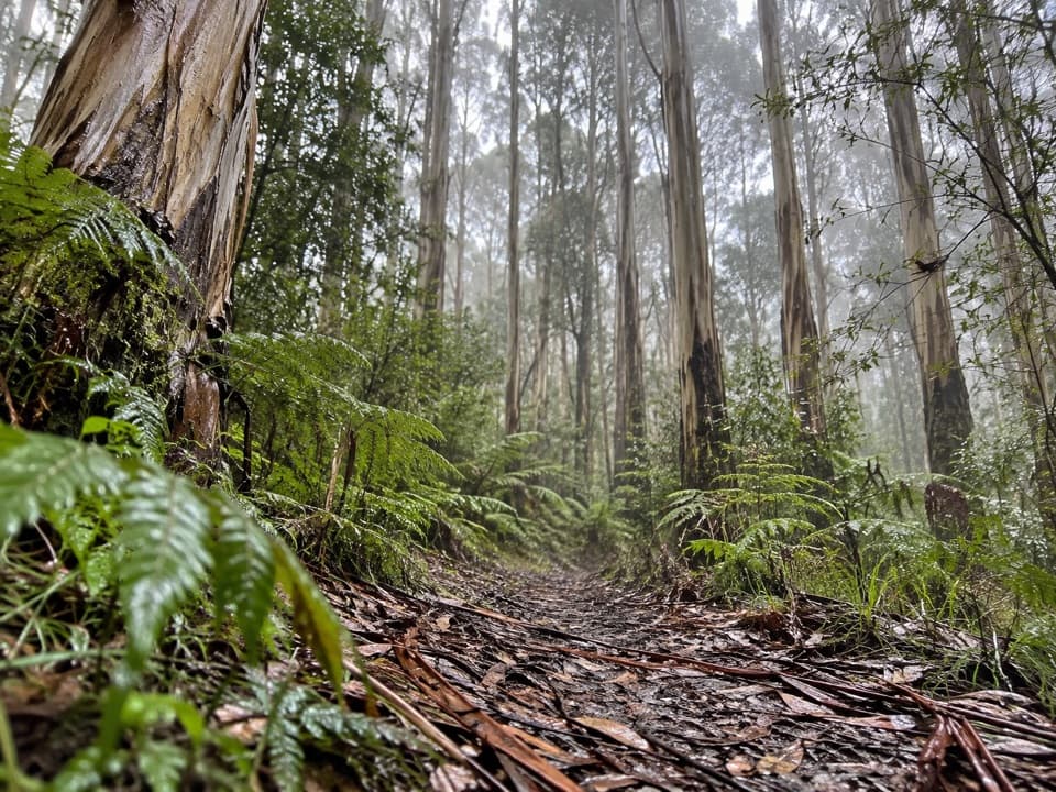 ModerateLemonade Creek Track4 km · 1.5 hr · 1.7 km awayA fern-rich crossing links picnic ground and falls car park.
 ModerateFive Mile Track8 km · 3 hr · 5.7 km awayA one-way rainforest walk with two Little Erskine River crossings.
 EasyLower Kalimna Falls Walk6.5 km · 2.5 hr · 5.9 km awayA ferny creek walk to a waterfall with a cave-like overhang.
 ModerateSheoak Falls–Castle Rock Circuit9.4 km · 3.5 hr · 5.9 km awayCreekside forest, Swallow Cave, Sheoak Falls and a coastal lookout.
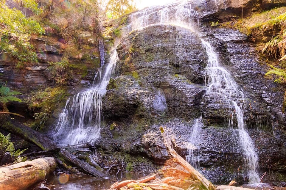 EasyWon Wondah and Henderson Falls Walk3.6 km · 1.5 hr · 5.9 km awayTwo waterfalls, a giant eucalypt, and a ferny gully at the end.
 ModerateCastle Rock Walk7 km · 3 hr · 5.9 km awaySteep forest climb to a rugged coastal lookout above Cumberland River.
 EasySheoak Picnic Ground Nature Walk1.3 km · 30 min · 5.9 km awayA fern-gully loop with tall gums and a suspension bridge
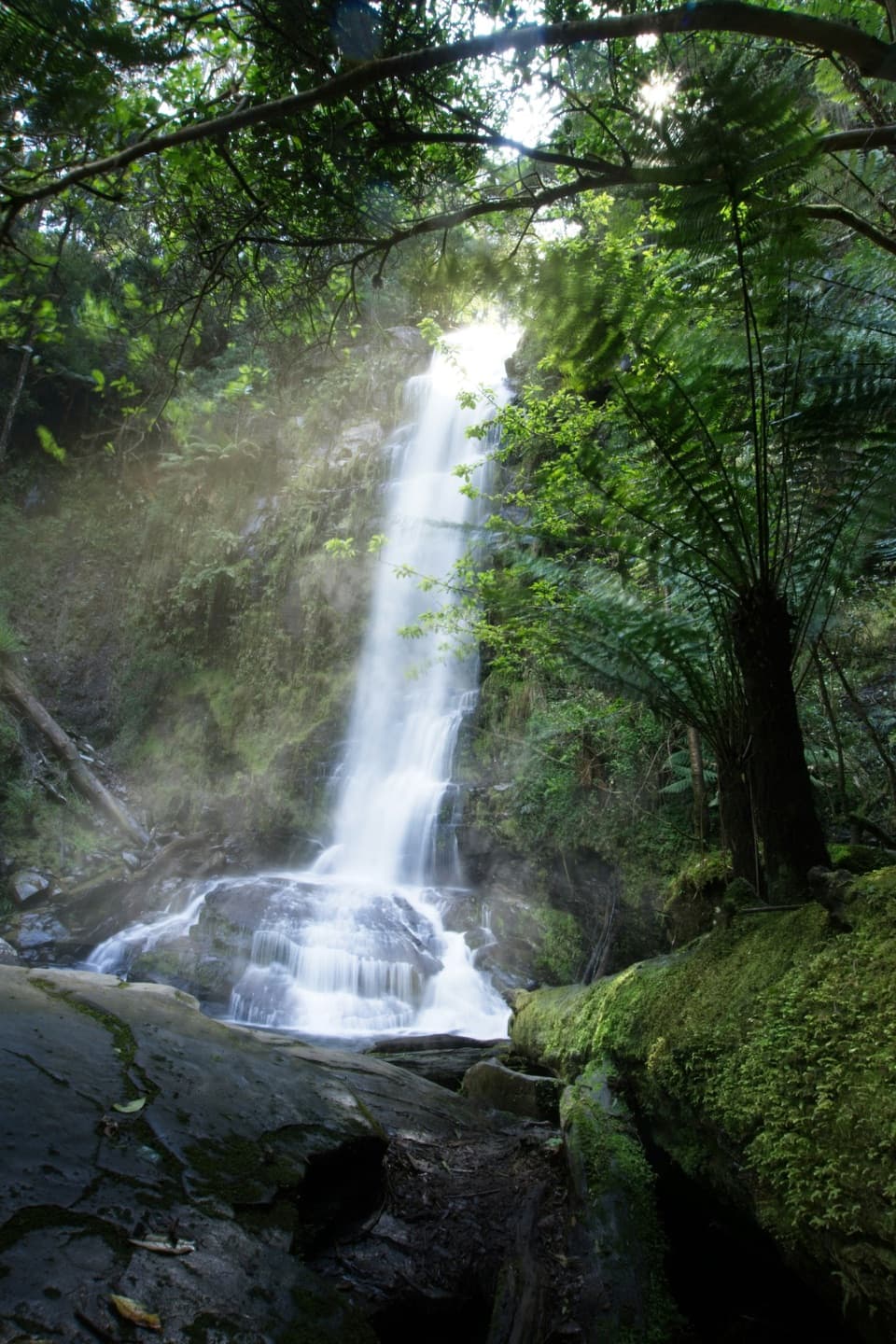 Sight · 0.1 km awayErskine FallsA 30-metre waterfall framed by tree ferns, a short detour inland.
 Picnic area · 1.7 km awayBlanket Leaf Picnic AreaA practical picnic break with walks toward two nearby waterfalls.
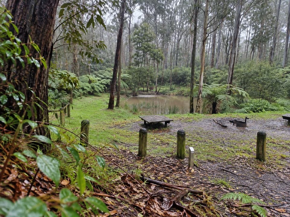 Campground · 3.9 km awayBig Hill CampgroundA no-frills forest base for mountain biking and four-wheel driving.
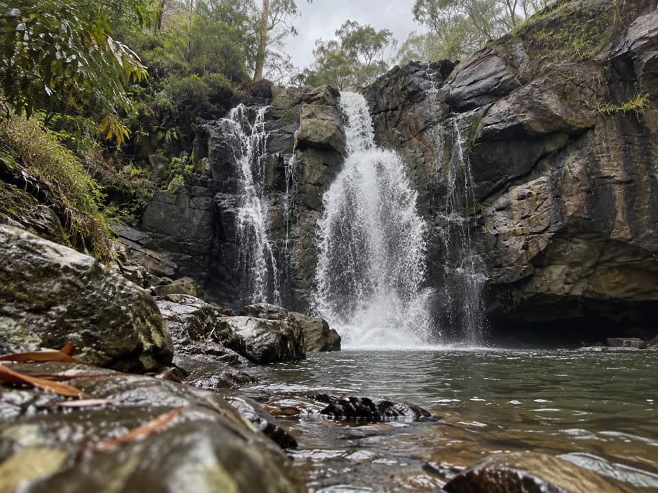 Sight · 4.9 km awayPhantom FallsA forest walk to a waterfall that runs strongest after rain.Sight · 5 km awayHenderson FallsA fern-framed waterfall reached by a forest walk from Sheoak.
 Sight · 5.3 km awayWon Wondah FallsA small, often screened cascade on the walk to Henderson Falls.
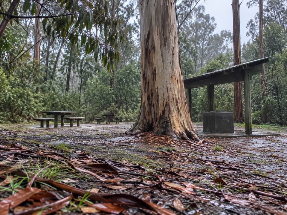 Picnic area · 5.9 km awaySheoak Picnic AreaA shaded eucalypt picnic stop and base for waterfall walks.Sight · 5.9 km awayLower Kalimna FallsA ferny creek waterfall where you can stand behind the falling water.
Parkwolf’s Great Ocean Road ranking

The audio tour guide for the drive, plus offline maps, trails, and wildlife heatmaps for when the signal drops.




