Parking
Start at Point Grey Car Park, next to Point Grey Picnic Area and public toilets. The route ends beside Great Ocean Road at the St George River; arrange a pickup or retrace it.

Great Ocean Road, VIC
A short coastal walk tracing Lorne's old timber tramway to the river.
Overview
Map & elevation
Plan your hike

The highest, rockiest slopes around here are a summer buffet for grizzly bears.
Great Ocean Road Tour Guide
Parkwolf is a GPS audio tour guide for Great Ocean Road. As you drive, it chimes in with what’s ahead: hidden gems, upcoming stops, history, geology, and wildlife, right through your car’s speakers.
See the Great Ocean Road audio tourRecorded for this trailhead
Lorne Pier and Point Grey“You're nearing Lorne Pier at Point Grey, where a short walk takes you out over the water for a different view of town. I'd allow twenty minutes to walk out, look back across Louttit Bay, and watch the anglers.”
Plays as you drive up to this trailhead in the Parkwolf Great Ocean Road Tour Guide.
More stories near here in the app
“Fantastic app with many points of information… It’s great to just turn on while you’re driving and it gives you an audio tour of the national Park. We love it!!!!”


Trail guide
Lorne Tramway Track Stage 1 is a 0.93-mile point-to-point walk from Point Grey Car Park to the St George River mouth beside Great Ocean Road. Allow about 30 minutes one way. It is graded moderate and mostly follows the old timber tramway; interpretive signs explain Lorne's timber story. Choose it for a short history walk with a river-side finish.
Horse teams hauled timber from sawmills at the St George River to Lorne pier, where it was shipped onward to Geelong and Melbourne. The signs explain the local tramway and timber industry. Near the Point Grey end, tramway rails remain embedded in concrete by the former Fishermen's Co-operative.
This is not a loop. Arrange pickup on Great Ocean Road by the St George River, or walk back along the track for about 1.9 miles round trip. The onward route toward Teddy's Lookout and Queens Park is a separate, longer walk. Dogs are permitted on a lead.
Wildlife
 900 sightingsKoalaMost seen around 5 PMSighting map
 358 sightingsKangarooMost seen around 6 PMSighting map
 49 sightingsLittle PenguinMost seen around 8 PMSighting map
 155 sightingsEchidnaMost seen around 6 PMSighting map
 33 sightingsFur SealMost seen around 6 PMSighting map
 59 sightingsRed-necked WallabyMost seen around 6 AMSighting map
Sighting maps show where each species has been reported across Great Ocean Road. Wildlife moves, so no sighting is guaranteed.
Keep exploring
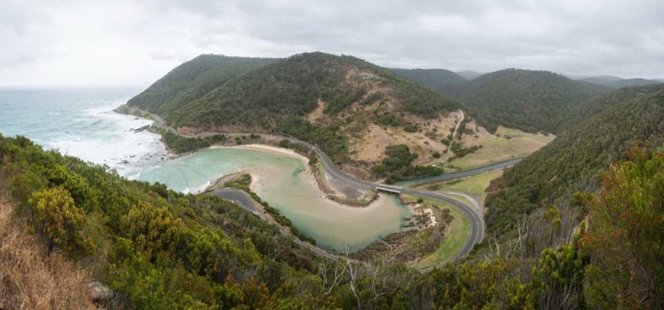 ModerateTeddy’s Lookout and Queens Park Lookout Loop1.6 km · 45 min · 0.5 km awayA compact Queens Park circuit for three coastal and Otway lookouts.
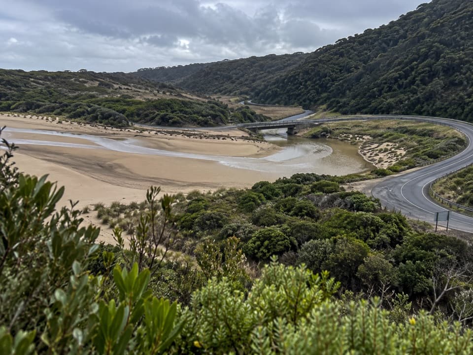 ModerateSt George River Walk2.7 km · 1 hr · 1 km awayA mostly flat river walk through fern gullies and past rocky pools.
 ModerateSt Georges River Loop5 km · 2 hr · 1.1 km awayClimb through eucalypts, then follow a fern-lined river back.
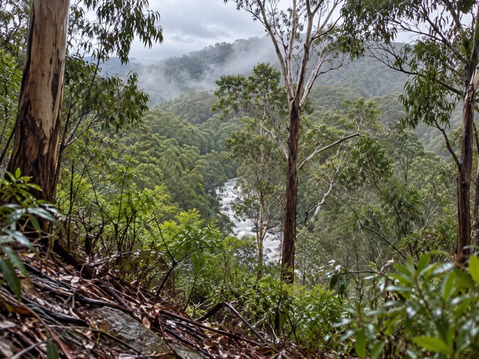 ModerateOcean Walk/Cherry Tree Creek Walk2.4 km · 1 hr · 1.1 km awayA wooded climb beside St George River to Allenvale Road.
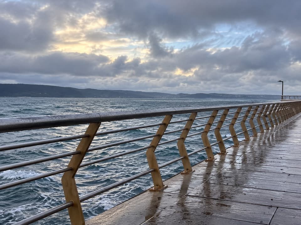 EasyDoug Stirling Walk1 km · 20 min · 1.1 km awayAn easy foreshore walk links Lorne's surf club and its pier.
 EasyBert Alsop Walk1.6 km · 1 hr · 1.7 km awayCross the Swing Bridge for a Melaleuca-lined foreshore walk.
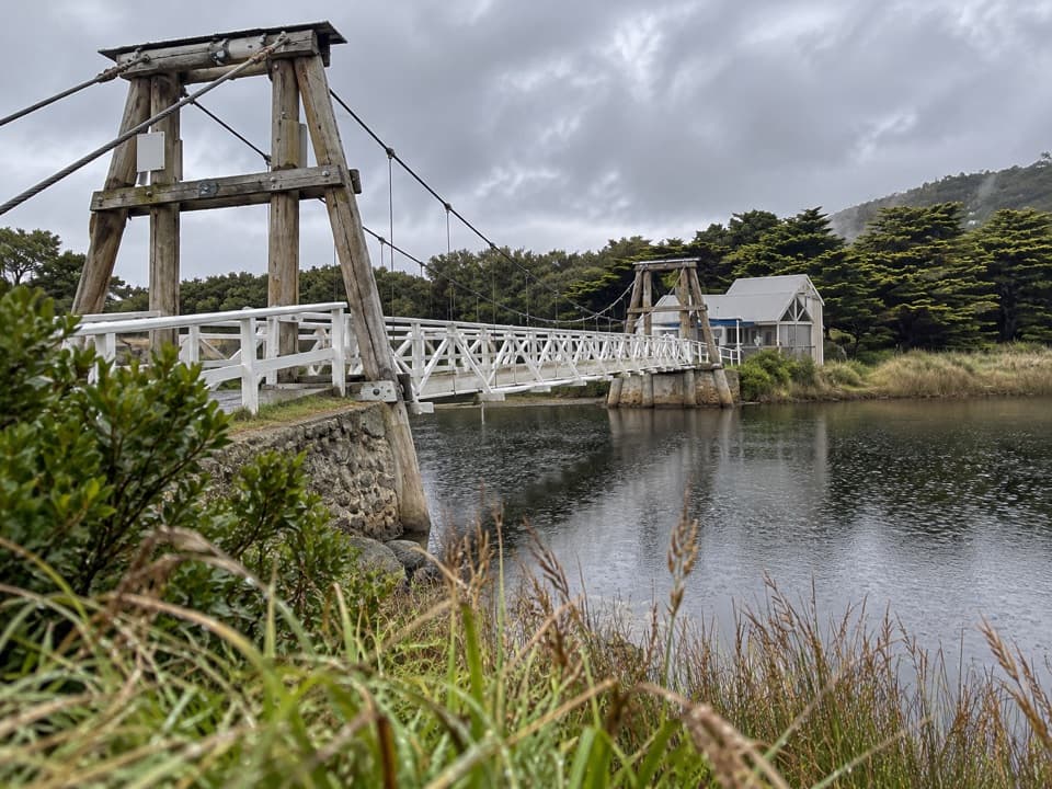 EasyLorne Swing Bridge Circuit1.2 km · 20 min · 1.7 km awayAn easy river loop over Lorne’s Swing Bridge and boardwalk.
 ModerateFive Mile Track8 km · 3 hr · 2.2 km awayA one-way rainforest walk with two Little Erskine River crossings.
 Sight · At the trailheadLorne PierWalk over the bay to see Lorne from the water.
 Sight · 0.9 km awayTeddy's LookoutOne lookout catches the coastal road, river mouth and sea.
 Beach · 1.4 km awayLorne Main BeachA long town beach for swimming, surfing and pier-side sunsets.
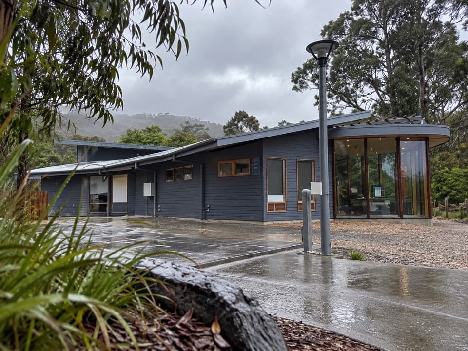 Visitor center · 1.7 km awayLorne Visitor Information CentreFriendly advice, useful maps and a small exhibit on the road's making
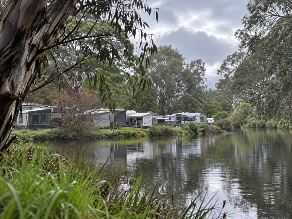 Campground · 1.9 km awayLorne Foreshore Caravan ParkA walkable Lorne base with beach, river and camping options.
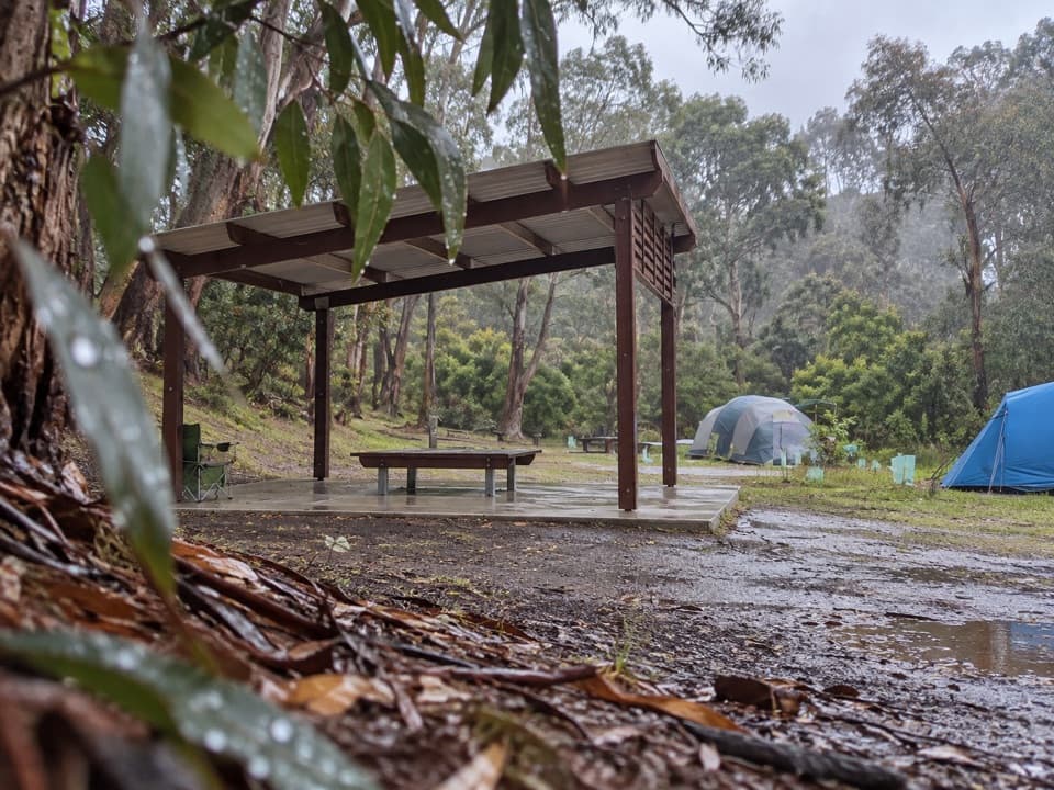 Campground · 2.4 km awayAllenvale CampgroundTwenty tent sites beside the St George River; carry your gear in.
 Sight · 2.8 km awaySheoak FallsA short walk leads to a waterfall whose flow follows the rain.
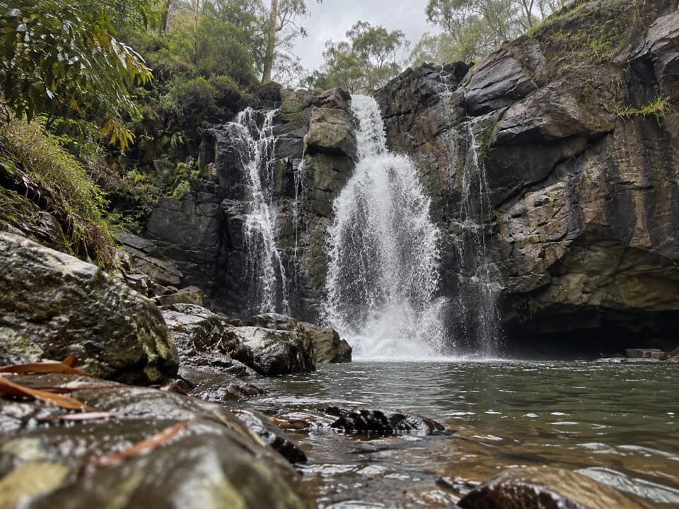 Sight · 3.4 km awayPhantom FallsA forest walk to a waterfall that runs strongest after rain.
Parkwolf’s Great Ocean Road ranking

The audio tour guide for the drive, plus offline maps, trails, and wildlife heatmaps for when the signal drops.





