Parking
For the full circuit, start at the car park on the corner of George Street and Francis Street. A separate small parking area serves the shorter Teddy’s Lookout visit.
Great Ocean Road, VIC
A compact Queens Park circuit for three coastal and Otway lookouts.
Overview
Map & elevation
Plan your hike

The highest, rockiest slopes around here are a summer buffet for grizzly bears.
Great Ocean Road Tour Guide
Parkwolf is a GPS audio tour guide for Great Ocean Road. As you drive, it chimes in with what’s ahead: hidden gems, upcoming stops, history, geology, and wildlife, right through your car’s speakers.
See the Great Ocean Road audio tourRecorded for this trailhead
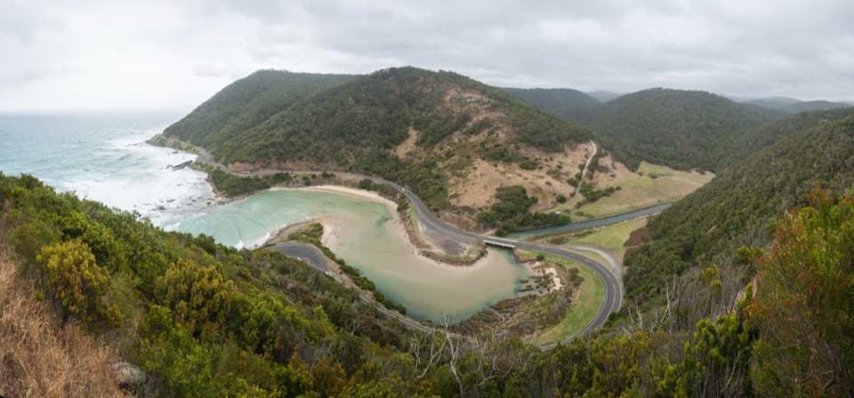
Teddy's Lookout“You're approaching Teddy's Lookout above Lorne, where you can see the coastal road curling around a wooded headland below.”
Plays as you drive up to this trailhead in the Parkwolf Great Ocean Road Tour Guide.
More stories near here in the app
“Fantastic app with many points of information… It’s great to just turn on while you’re driving and it gives you an audio tour of the national Park. We love it!!!!”


Trail guide
This 1.6 km (about 1 mile) circuit passes through Queens Park bush and links three lookouts. Allow about 45 minutes; the route is rated moderate. Start at the George Street and Francis Street car park, take the short approach toward Teddy’s Lookout, then follow the circuit back by a short local-street connector. The short distance still includes climbing, so leave time for the viewpoints.
Teddy’s Lookout opens over the St George River mouth, the Great Ocean Road’s bends and the coast, with the Otway Ranges inland. For a photo, include the river mouth and a curve of road to show how the route winds along the hillside.
The viewing platform was added in 1995. A cast-iron compass dial dedicated in 1989 points toward 21 towns and landmarks. The name Teddy’s Lookout was in use by 1878, but its origin is uncertain; later stories about who Teddy was remain unconfirmed.
Dogs are permitted on leash on this walk. The full circuit starts at the George and Francis Street car park. A separate small parking area by Teddy’s Lookout serves a shorter visit to the platform; the viewpoint has no public toilets or other amenities listed.
Wildlife
 900 sightingsKoalaMost seen around 5 PMSighting map
 358 sightingsKangarooMost seen around 6 PMSighting map
 49 sightingsLittle PenguinMost seen around 8 PMSighting map
 155 sightingsEchidnaMost seen around 6 PMSighting map
 33 sightingsFur SealMost seen around 6 PMSighting map
 59 sightingsRed-necked WallabyMost seen around 6 AMSighting map
Sighting maps show where each species has been reported across Great Ocean Road. Wildlife moves, so no sighting is guaranteed.
Keep exploring
 ModerateLorne Tramway Track Stage 11.5 km · 30 min · 0.5 km awayA short coastal walk tracing Lorne's old timber tramway to the river.
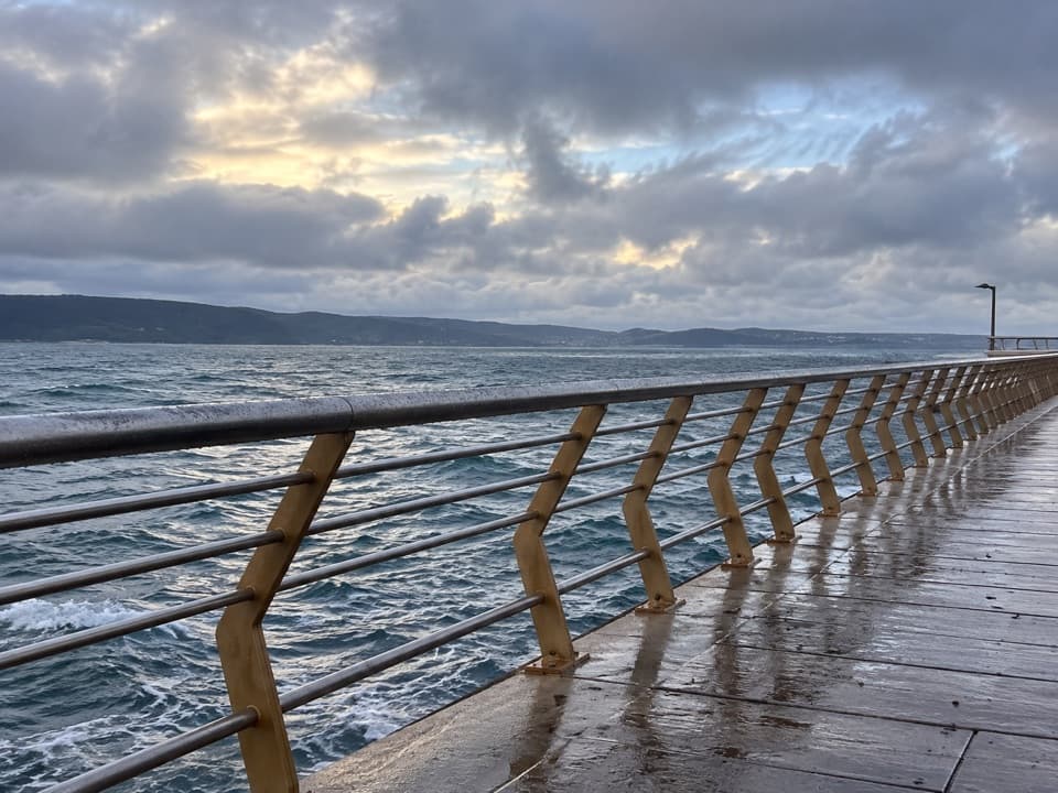 EasyDoug Stirling Walk1 km · 20 min · 0.7 km awayAn easy foreshore walk links Lorne's surf club and its pier.
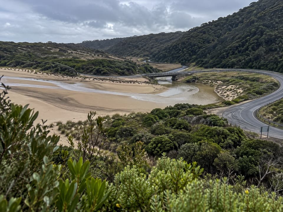 ModerateSt George River Walk2.7 km · 1 hr · 0.7 km awayA mostly flat river walk through fern gullies and past rocky pools.
 ModerateSt Georges River Loop5 km · 2 hr · 0.8 km awayClimb through eucalypts, then follow a fern-lined river back.
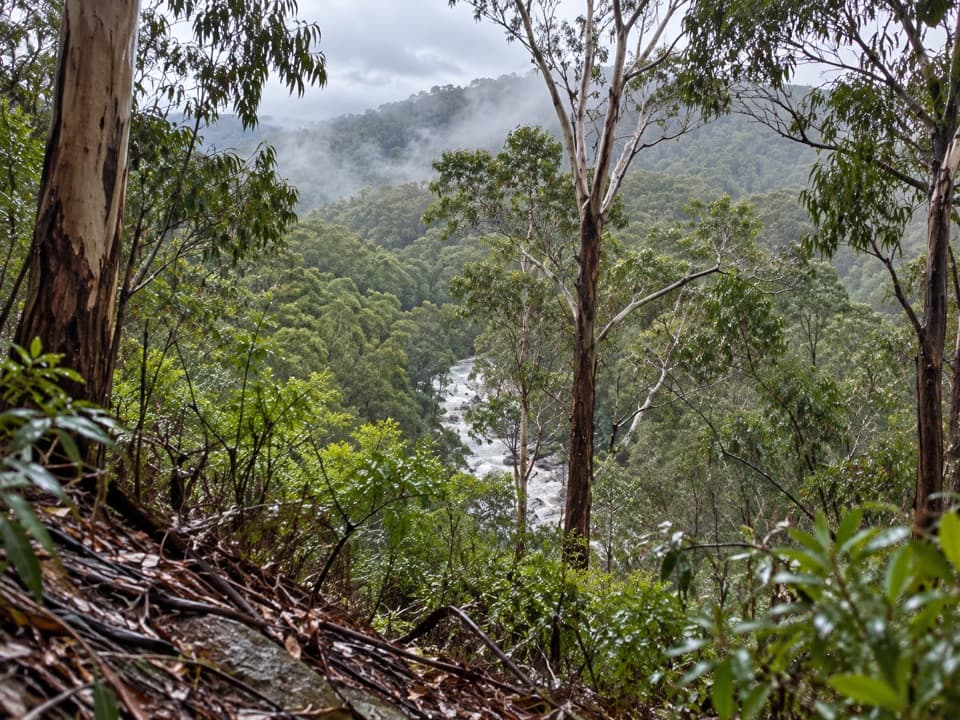 ModerateOcean Walk/Cherry Tree Creek Walk2.4 km · 1 hr · 0.8 km awayA wooded climb beside St George River to Allenvale Road.
 EasyBert Alsop Walk1.6 km · 1 hr · 1.4 km awayCross the Swing Bridge for a Melaleuca-lined foreshore walk.
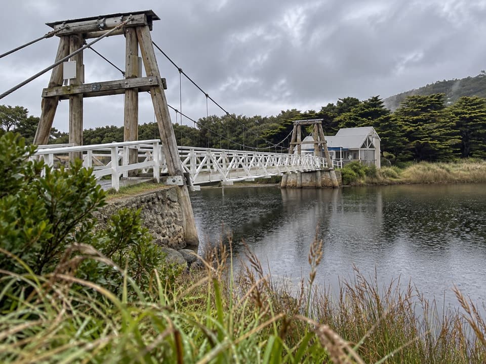 EasyLorne Swing Bridge Circuit1.2 km · 20 min · 1.4 km awayAn easy river loop over Lorne’s Swing Bridge and boardwalk.
 ModerateAllenvale Mill to Phantom Falls Walk3.5 km · 1.5 hr · 1.9 km awayA riverside climb to falls framed by tree ferns.
 Sight · 0.5 km awayLorne PierWalk over the bay to see Lorne from the water.
 Sight · 0.7 km awayTeddy's LookoutOne lookout catches the coastal road, river mouth and sea.
 Beach · 1.1 km awayLorne Main BeachA long town beach for swimming, surfing and pier-side sunsets.
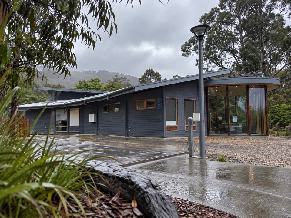 Visitor center · 1.4 km awayLorne Visitor Information CentreFriendly advice, useful maps and a small exhibit on the road's making
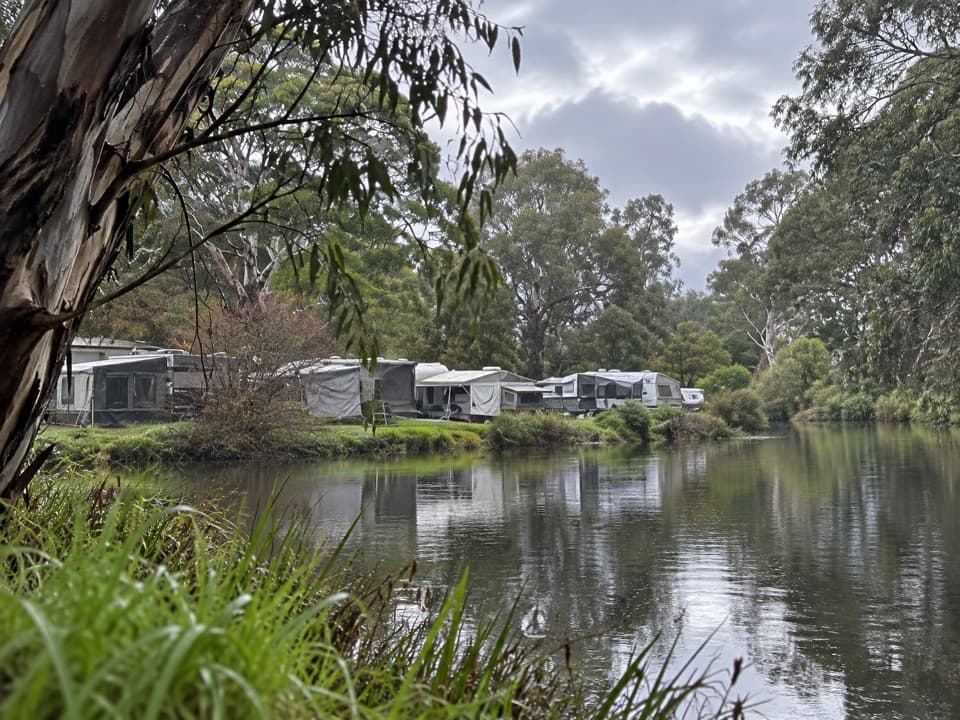 Campground · 1.6 km awayLorne Foreshore Caravan ParkA walkable Lorne base with beach, river and camping options.
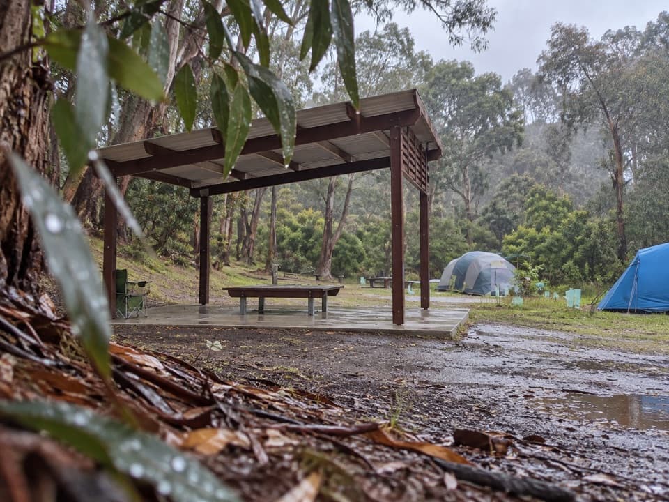 Campground · 1.9 km awayAllenvale CampgroundTwenty tent sites beside the St George River; carry your gear in.
 Sight · 2.4 km awaySheoak FallsA short walk leads to a waterfall whose flow follows the rain.
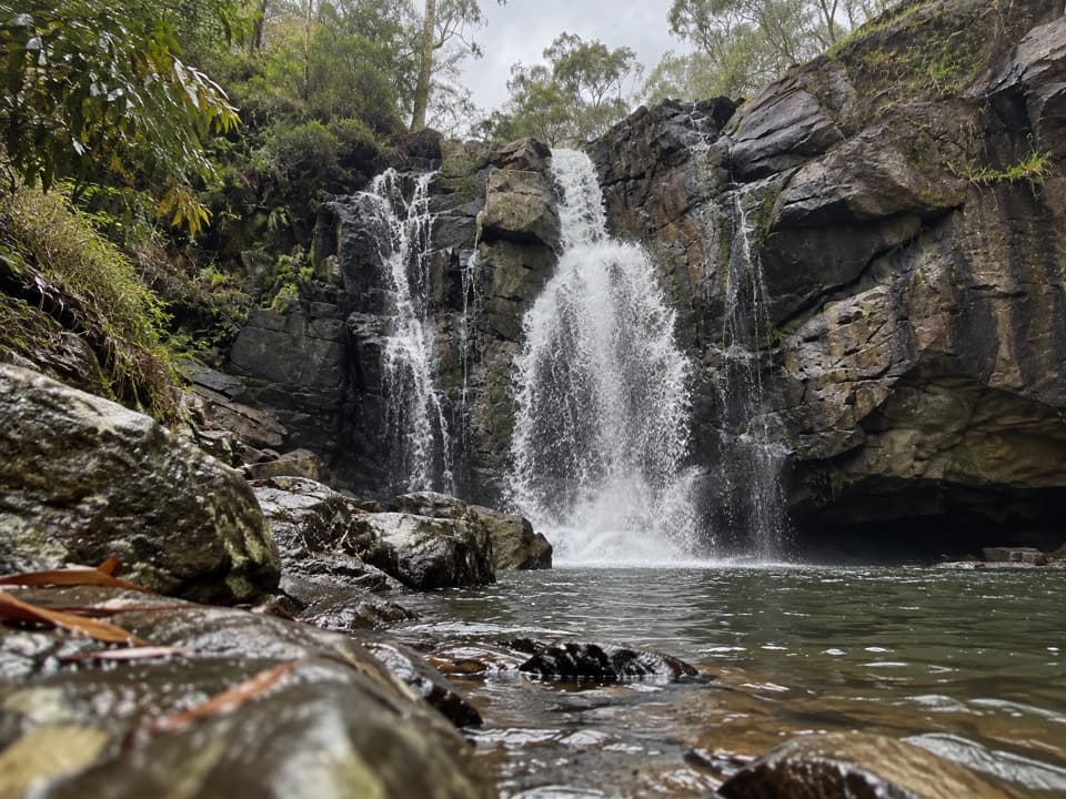 Sight · 2.9 km awayPhantom FallsA forest walk to a waterfall that runs strongest after rain.
Parkwolf’s Great Ocean Road ranking

The audio tour guide for the drive, plus offline maps, trails, and wildlife heatmaps for when the signal drops.





