Blanket Bay in Great Otway National Park

Beach · Great Otway National Park

Blanket Bay

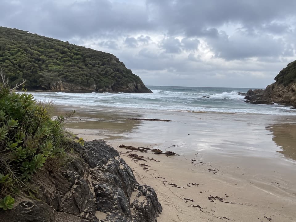
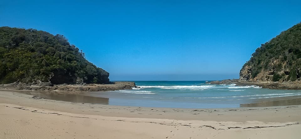
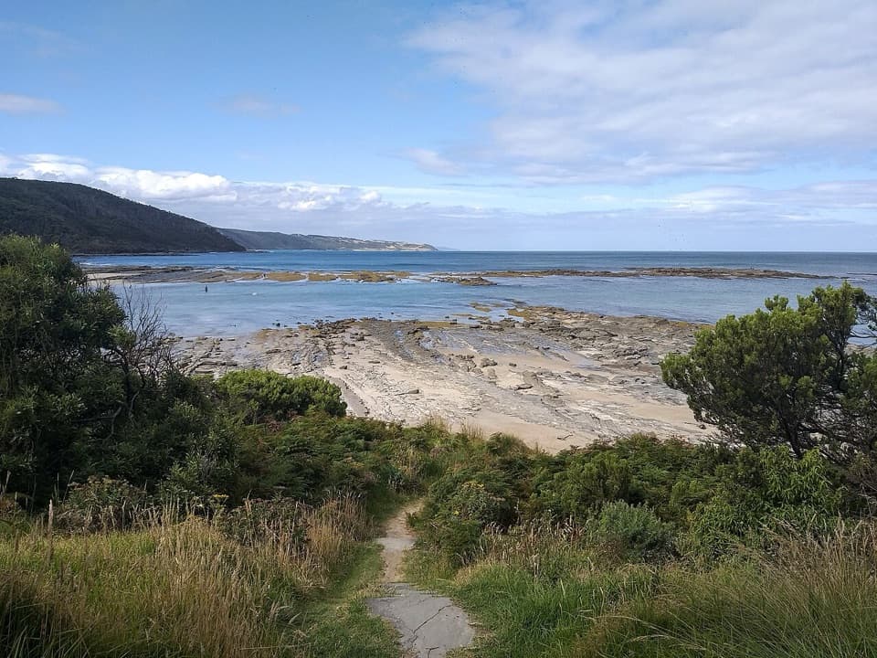
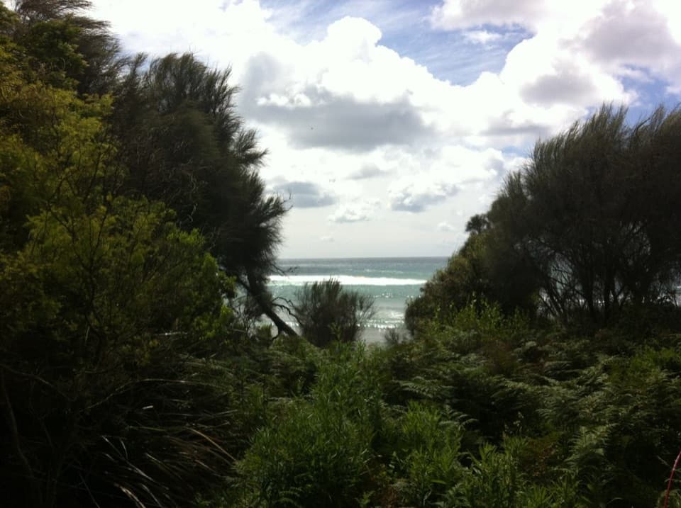
A sheltered cove where low tide reveals patterned rock shelves.

Photo: CC BY 2.0
Type
Beach
Nearest trail
Right here
Audio stories
2 nearby
  • Parking
  • Picnic tables
  • #23 of 46 sights

Hear the audio tour

Blanket Bay: Sand and Rockpools

Overview

About Blanket Bay

Why stop

  • Sheltered shore with sand, pools and patterned rock shelves.

Heads up

  • Cold water and a rocky bottom can make swimming less appealing.

Map

Where it is

Loading the Great Otway map
Full map
BeachBlanket Bay-38.82714, 143.58309
Keep this map with you offline in the Parkwolf app

Plan your stop

Before you go

Getting there

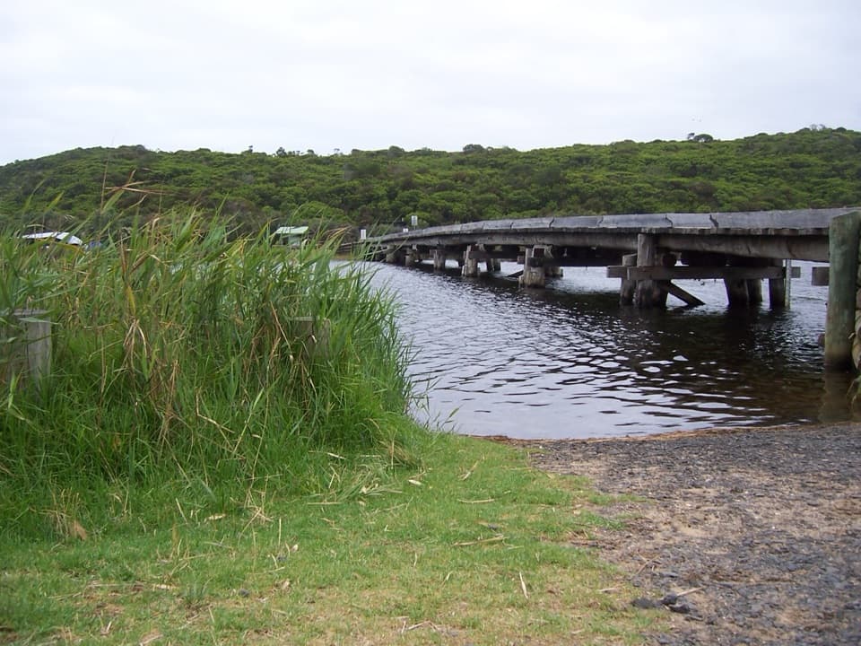
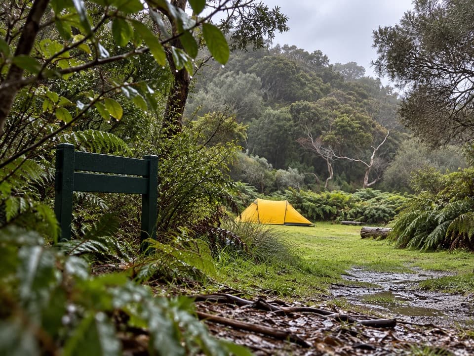
Blanket Bay Road reaches the day visitor area, and the approach includes unsealed gravel. Allow time for the drive and check current road advice before setting out. Parking and a boat ramp are near the beach. Facilities at the neighboring campground are separate, so check before relying on them during a day visit.

3 active Great Otway alerts

  • ClosureWye Road closed after storm and flood damageWye Road is closed until further notice because recent storm and flood damage requires road maintenance and repair works; plan around the closure.Official details
  • ClosureLorne-area walking trails closed after flood damageSome walking trails near Lorne are closed for public safety after the January 2026 flash floods washed away or severely damaged bridges and walkways.Official details
See all 3 alerts
A park ranger sits on a dash-mounted phone, talking, as Parkwolf’s Tour Guide plays “Army Cutworm Moths: A Grizzly Bear Buffet” on Grand Loop Road below Dunraven Pass in Yellowstone
Parkwolf Tour GuideThe highest, rockiest slopes around here are a summer buffet for grizzly bears.

Great Otway Tour Guide

Your drive to Blanket Bay, narrated.

Parkwolf is a GPS audio tour guide for Great Otway National Park. As you drive, it chimes in with what’s ahead: hidden gems, upcoming stops, history, geology, and wildlife, right through your car’s speakers.

See the Great Otway audio tour

Recorded for this place

Blanket Bay: Sand and Rockpools
0:00 / 0:29
“Blanket Bay is coming up, a sheltered cove for a shore wander or picnic. Head to the eastern end if you want sand; the western shore has broad rock shelves, with shallow pools and patterned stone exposed at low tide.”

Plays as you drive up to Blanket Bay in the Parkwolf Great Otway Tour Guide.

More stories near here in the app

  • A Sea Star's Hidden Feet
  • Parker Hill and Crayfish Bay: The Coastal Loop
  • The Gull That Drops Its Dinner
  • A Daisy That Grows into a Tree
  • 252 audio storiesacross Great Otway’s roads, triggered by GPS as you drive
  • Wildlife heatmapsfor Koala, Grey Kangaroo, Echidna, and 13 more
  • Works offlinemaps, 83 trails, 79 places, and audio download before you lose signal
  • CarPlay readysimple controls built for the drive
★★★★★
“Fantastic app with many points of information… It’s great to just turn on while you’re driving and it gives you an audio tour of the national Park. We love it!!!!”
JMJamesApp Store review
Download Parkwolf on the App StoreGet Parkwolf on Google Play

4.7 from 8,600+ ratings

Guide

More about Blanket Bay

A sheltered bay on Cape OtwayBlanket Bay is a coastal bay and picnic stop on Cape Otway, with sand at the eastern end and…

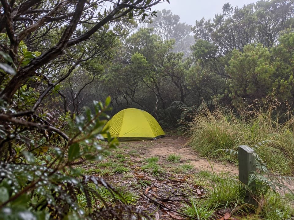
Blanket Bay is a coastal bay and picnic stop on Cape Otway, with sand at the eastern end and broad, low rock shelves along the western shore. The day visitor area is separate from the nearby car campground and Great Ocean Walk hike-in campsite. It suits a short shore break or picnic, and the Great Ocean Walk passes through the area.

Sand, rock and tide poolsThe eastern end is the sandier stretch; farther along, the flatter rocky shore has shallow…

The eastern end is the sandier stretch; farther along, the flatter rocky shore has shallow pools and bands of exposed stone. Low tide reveals more of this texture. Swimming can be calm, but visitors describe cold water and a rocky bottom, so this is as much a place to wander the shore as to swim. For photos, include the patterned shelves in the foreground with the bay or wooded headland behind them.

Look toward the treesKoalas and Superb Fairy-wrens have been seen in vegetation around the bay, but these are…

Koalas and Superb Fairy-wrens have been seen in vegetation around the bay, but these are occasional sightings rather than a sure part of the stop. The sheltered cove makes a quieter picnic break than an exposed surf beach.

Wildlife

Wildlife in Great Otway

All Great Otway wildlife maps

Sighting maps show where each species has been reported across Great Otway. Wildlife moves, so no sighting is guaranteed.

Keep exploring

Near Blanket Bay

See it all on the map

Trails nearby

More stops nearby

Parkwolf’s Great Otway ranking

Top sights in Great Otway

All 79 places
  1. 1Cape Otway LightstationSight
  2. 2Erskine FallsSight
  3. 3Hopetoun FallsSight
  4. 4Triplet FallsSight
  5. 5Aire Valley RedwoodsSight
  6. 6Lake ElizabethSight

Take Parkwolf to Great Otway.

The audio tour guide for the drive, plus offline maps, trails, and wildlife heatmaps for when the signal drops.

4.7 from 8,600+ ratings

Download Parkwolf on the App StoreGet Parkwolf on Google Play