Parking
Start at Shelly Beach Picnic Area; a short track connection from the parking area joins the circuit.

Great Otway National Park, VIC
Rock-hop Elliot River, then climb Elliott Ridge through ferny gullies.
Overview
Map & elevation
Plan your hike

The highest, rockiest slopes around here are a summer buffet for grizzly bears.
Great Otway Tour Guide
Parkwolf is a GPS audio tour guide for Great Otway National Park. As you drive, it chimes in with what’s ahead: hidden gems, upcoming stops, history, geology, and wildlife, right through your car’s speakers.
See the Great Otway audio tourRecorded for this trailhead
Shelly Beach: Down Through the Ferns“You're nearing the Elliot River Road access for Shelly Beach, with more driving before the walk starts.”
Plays as you drive up to this trailhead in the Parkwolf Great Otway Tour Guide.
More stories near here in the app
“Fantastic app with many points of information… It’s great to just turn on while you’re driving and it gives you an audio tour of the national Park. We love it!!!!”


Trail guide
Elliot River Circuit Walk is a 4.7 km loop from Shelly Beach Picnic Area, with about 1½–2 hours on foot. It descends through tall eucalypts to the boulder shelf at the mouth of the Elliot River, rock-hops across, climbs Elliott Ridge and returns through forest. Pick it for a river crossing and a varied circuit rather than a short beach stroll. Published lengths range from 4.2 to about 4.7 km; the connected mapped line measures about 4.7 km, so plan for the longer figure.
A short access path joins the Great Ocean Walk from the picnic area. From there the route descends through tall eucalypt forest to the rocky shelf at the river mouth. The surface changes at the water: you'll be choosing steps over boulders instead of simply following a smooth path.
The circuit crosses the Elliot River on rocks and climbs Elliott Ridge. Take your time across the stones and save some energy for the ascent. The return passes through varied forest, with rainforest gullies singled out as a highlight. The river crossing and climb are the parts that make this a moderate walk rather than a gentle picnic-ground wander.
Begin at Shelly Beach Picnic Area and follow the short connection into the loop. Bring drinking water; no food or on-route water was confirmed. Dogs aren't allowed in Victoria's national parks.
This is not the separate 2 km Shelly Beach Circuit, which follows beach and rock platforms and carries low-tide-only advice. A low-tide requirement for the longer Elliot River route wasn't confirmed, so check local advice before setting out and don't attempt the river crossing if the water or stones make the rock-hop unsafe.
Wildlife
 204 sightingsKoalaMost seen around 6 PMSighting map
 35 sightingsGrey KangarooMost seen around 6 AMSighting map
 109 sightingsEchidnaMost seen around 5 PMSighting map
 58 sightingsKookaburraMost seen around 6 AMSighting map
 97 sightingsSwamp WallabyMost seen around 6 PMSighting map
 20 sightingsBrushtail PossumMost seen around 8 PMSighting map
Sighting maps show where each species has been reported across Great Otway. Wildlife moves, so no sighting is guaranteed.
Keep exploring
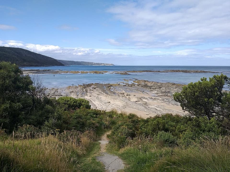 ModerateElliot Ridge to Blanket Bay12 km · 4.5 hr · 0.8 km awayForest roads lead to a switchback descent and Blanket Bay's shore.
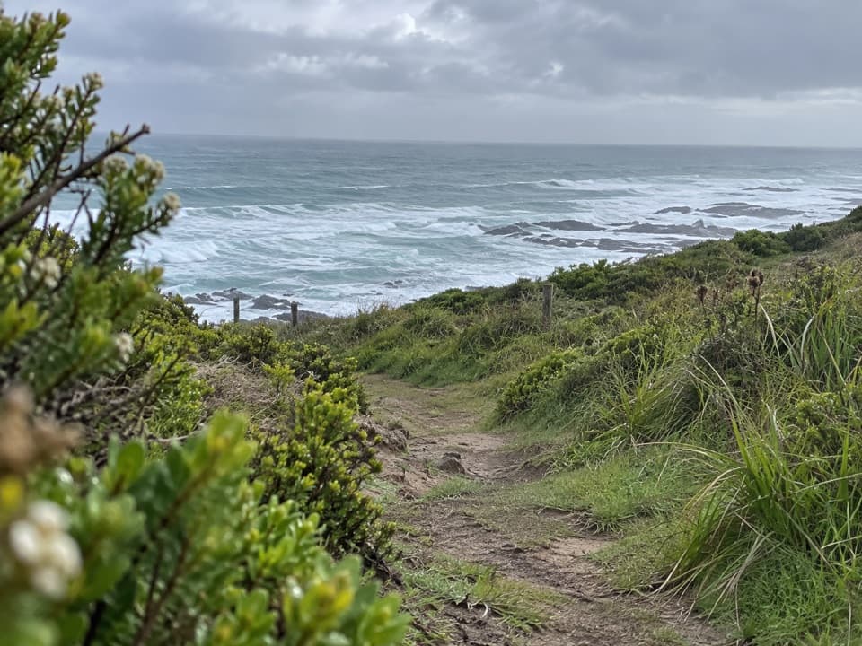 ModerateMarengo to Elliot River Circuit15.1 km · 6 hr · 4.1 km awayCoastal cliffs, forest, and an Elliot River loop in one long walk.
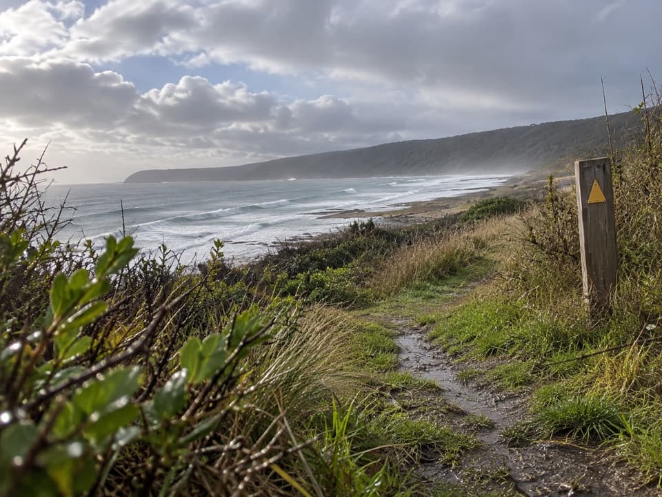 ModerateMarengo to Shelly Beach Walk4.7 km · 2.5 hr · 4.2 km awayWalk from Marengo Beacon across beaches and Bald Hill to Shelly Beach.
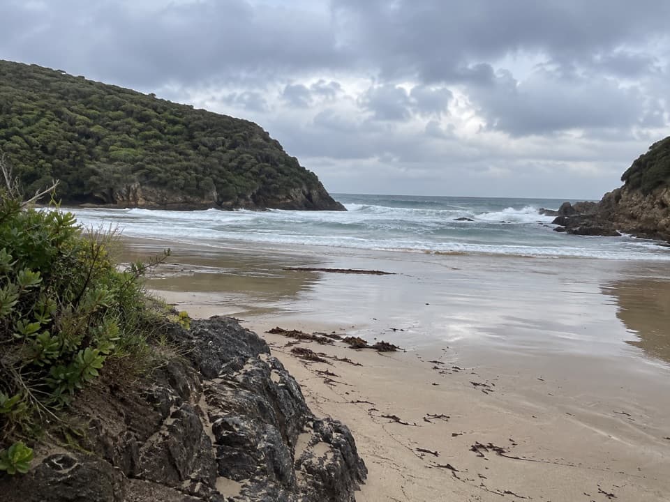 ModerateGreat Ocean Walk: Blanket Bay to Cape Otway11 km · 3.8 hr · 5.2 km awayAn 11 km one-way coastal stage from Blanket Bay to Cape Otway.
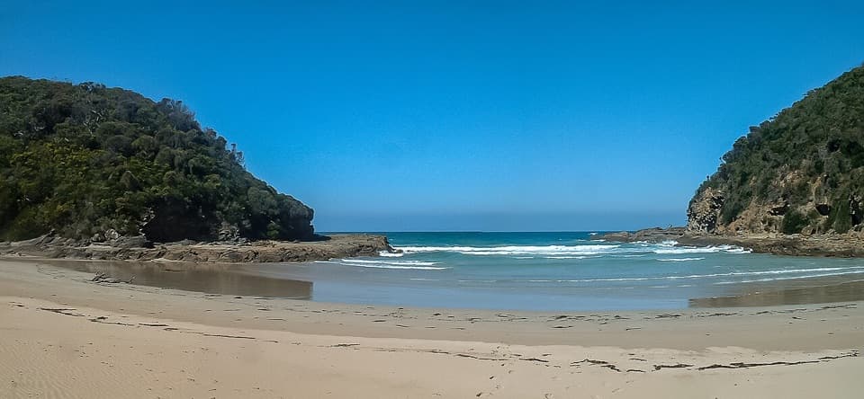 EasyBlanket Bay to Parker Inlet Walk4.6 km · 1.8 hr · 5.4 km awayCoastal bush, an inlet crossing and steep steps to Parker Hill.
 ChallengingGreat Ocean Walk100 km · 1.5 days · 5.8 km awayA full coastal crossing from Otway forest to the Twelve Apostles.
 ModerateApollo Bay to Elliot Ridge9.9 km · 3.8 hr · 5.8 km awayCoastal beaches, an unbridged river and a ferny camp beneath tall trees.
 EasyMaits Rest Rainforest Walk0.8 km · 30 min · 6.8 km awayA brief 800-metre loop through giant beech and tree ferns.
 Beach · 0.5 km awayShelly BeachFern-lined walk to tide pools and a small, rugged cove.
 Campground · 0.6 km awayElliot Ridge Hike-in CampgroundA quiet forest night stop for Great Ocean Walk hikers
 Sight · 1.6 km awayWildlife WondersA guided Otways wildlife walk through coastal bushland.
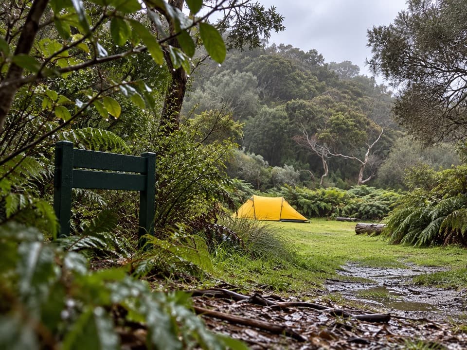 Campground · 5.2 km awayBlanket Bay Hike-in CampgroundA booked overnight camp for Great Ocean Walk hikers.
 Beach · 5.2 km awayBlanket BayA sheltered cove where low tide reveals patterned rock shelves.
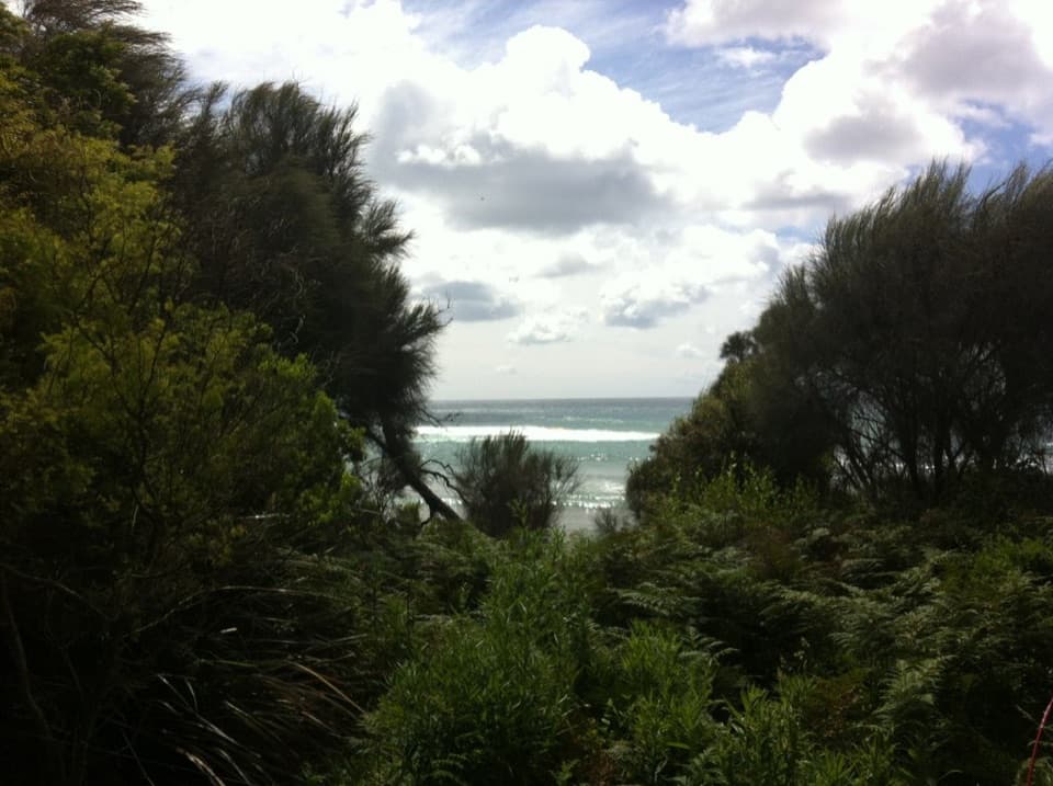 Campground · 5.2 km awayBlanket Bay CampgroundA small unpowered camp tucked behind Cape Otway’s sheltered beach.
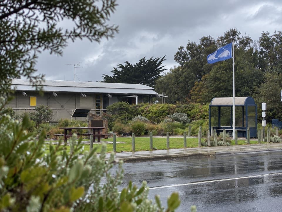 Visitor center · 5.9 km awayGreat Ocean Road Visitor Information Centre, Apollo BaySort the Otways, tours and Great Ocean Walk before setting off.
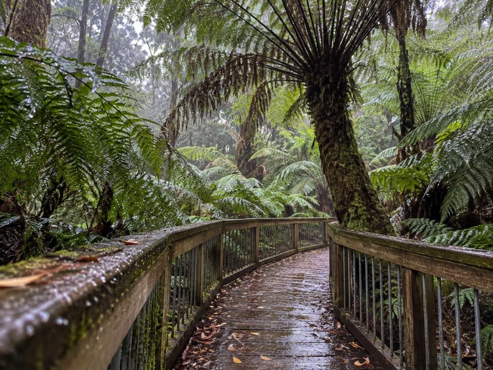 Sight · 6.8 km awayMaits Rest Rainforest WalkA half-hour boardwalk through tree ferns and old rainforest.
Parkwolf’s Great Otway ranking

The audio tour guide for the drive, plus offline maps, trails, and wildlife heatmaps for when the signal drops.



