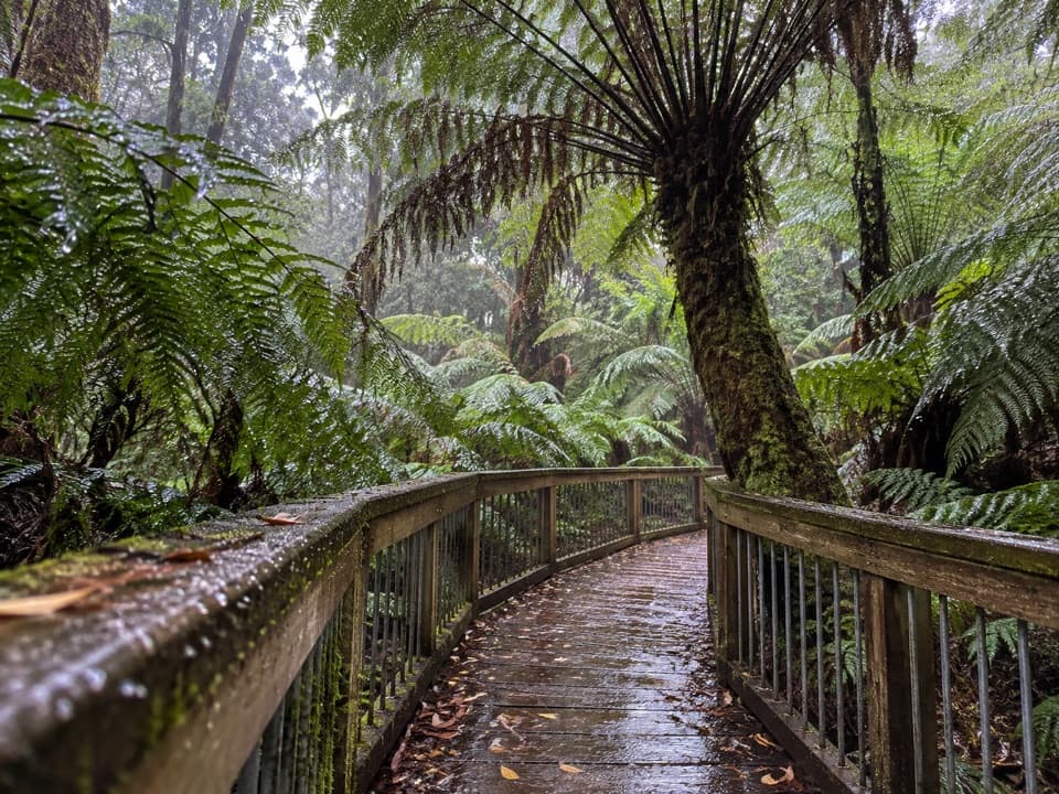
Shelly Beach in Great Otway National Park

Beach · Great Otway National Park

Shelly Beach

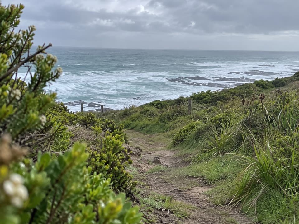
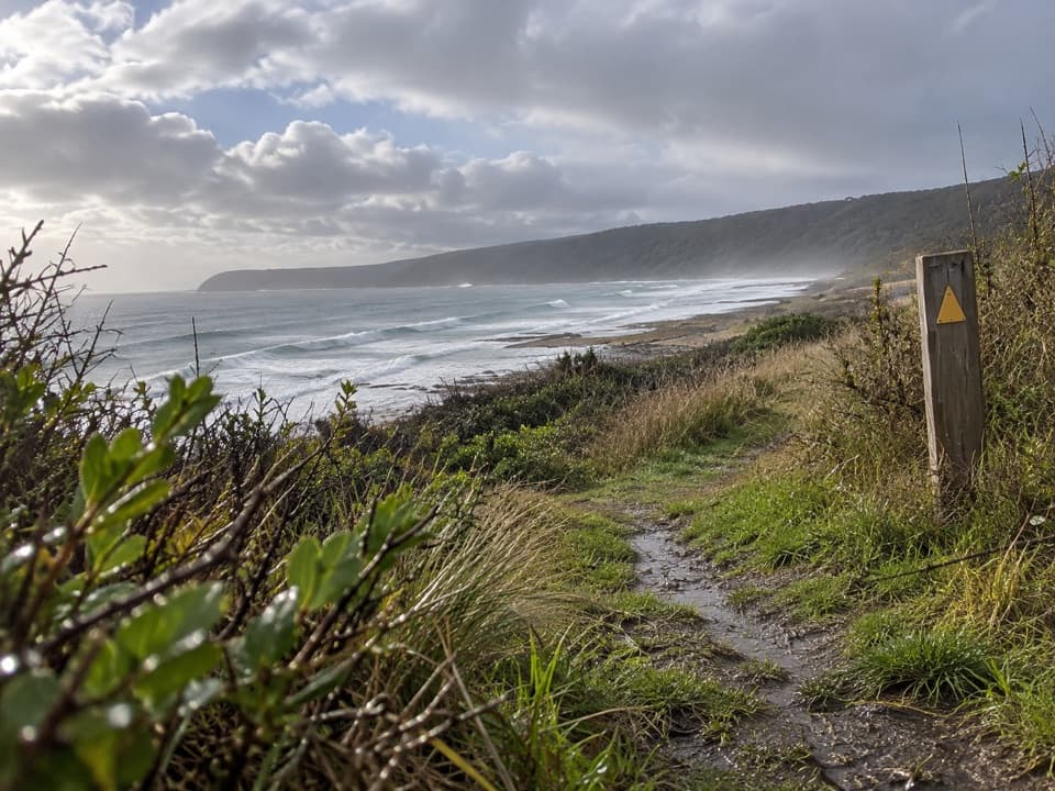
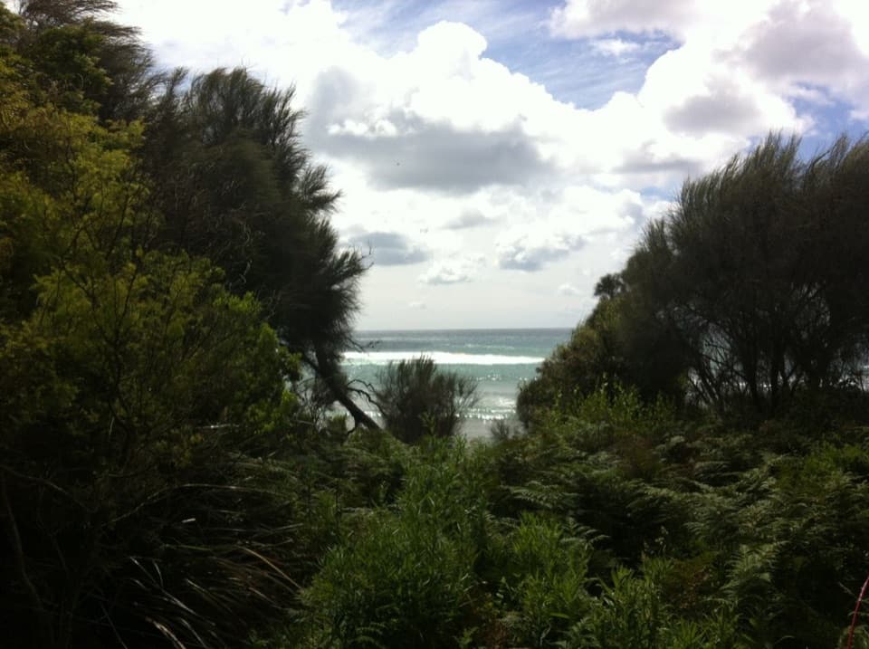
Fern-lined walk to tide pools and a small, rugged cove.

Type
Beach
Nearest trail
0.5 km
Audio stories
2 nearby
  • Parking
  • Restrooms
  • Picnic tables

Hear the audio tour

Shelly Beach: Down Through the Ferns

Overview

About Shelly Beach

Why stop

  • Fern-lined approach and low-tide rock pools

Heads up

  • Steep uphill return; the rocky shore is poor for swimming
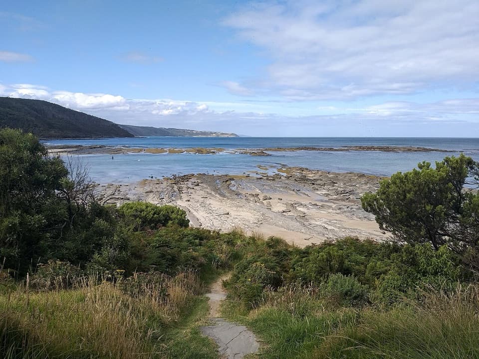
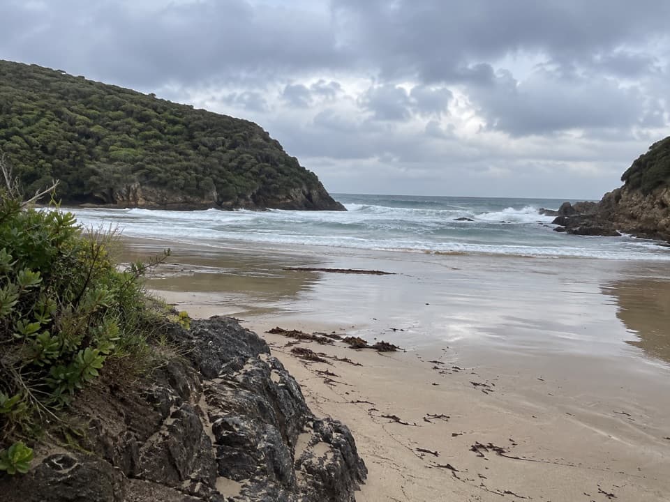
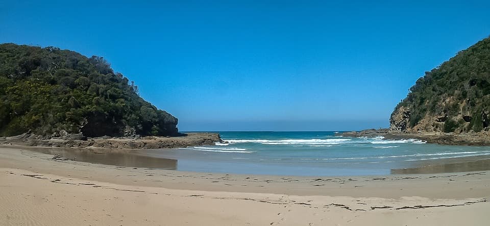
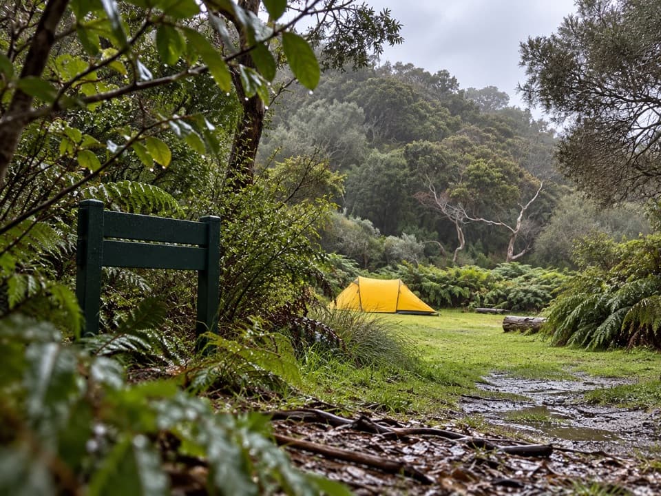
Shelly Beach is a small cove on the Great Otway coast, reached on foot from the picnic area off Elliot River Road, south-west of Apollo Bay. A ferny forest approach ends at a small sandy pocket edged by dark rock shelves and pools. Come for the walk and the low-tide shoreline, not an easy swim: there is little sand and most of the shore is rocky.
Parkwolf’s verdictA cove worth walking to

Map

Where it is

Loading the Great Otway map
Full map
BeachShelly Beach-38.79249, 143.62346
Keep this map with you offline in the Parkwolf app

Plan your stop

Before you go

3 active Great Otway alerts

  • ClosureWye Road closed after storm and flood damageWye Road is closed until further notice because recent storm and flood damage requires road maintenance and repair works; plan around the closure.Official details
  • ClosureLorne-area walking trails closed after flood damageSome walking trails near Lorne are closed for public safety after the January 2026 flash floods washed away or severely damaged bridges and walkways.Official details

See all 3 alerts
A park ranger sits on a dash-mounted phone, talking, as Parkwolf’s Tour Guide plays “Army Cutworm Moths: A Grizzly Bear Buffet” on Grand Loop Road below Dunraven Pass in Yellowstone
Parkwolf Tour GuideThe highest, rockiest slopes around here are a summer buffet for grizzly bears.

Great Otway Tour Guide

Your drive to Shelly Beach, narrated.

Parkwolf is a GPS audio tour guide for Great Otway National Park. As you drive, it chimes in with what’s ahead: hidden gems, upcoming stops, history, geology, and wildlife, right through your car’s speakers.

See the Great Otway audio tour

Recorded for this place

Shelly Beach: Down Through the Ferns
0:00 / 0:24
“You're nearing the Elliot River Road access for Shelly Beach, with more driving before the walk starts.”

Plays as you drive up to Shelly Beach in the Parkwolf Great Otway Tour Guide.

More stories near here in the app

  • Wildlife Wonders: A Guided Walk or Café Stop
  • The Animal That Pumps Its Dinner
  • A Cuckoo in Another Bird’s Nest
  • Marengo: The Coastal Walk to Shelly Beach
  • 252 audio storiesacross Great Otway’s roads, triggered by GPS as you drive
  • Wildlife heatmapsfor Koala, Grey Kangaroo, Echidna, and 13 more
  • Works offlinemaps, 83 trails, 79 places, and audio download before you lose signal
  • CarPlay readysimple controls built for the drive
★★★★★
“Fantastic app with many points of information… It’s great to just turn on while you’re driving and it gives you an audio tour of the national Park. We love it!!!!”
JMJamesApp Store review
Download Parkwolf on the App StoreGet Parkwolf on Google Play

4.7 from 8,600+ ratings

Guide

More about Shelly Beach

Make low tide part of the planThe rocky beach section is best reached at low tide; high water can limit access along the…

The rocky beach section is best reached at low tide; high water can limit access along the adjoining shore. Visitors commonly estimate about 900 m to 1 km downhill from the car park, with a steep uphill return. Allow time and energy for the climb back, and check tide and coastal conditions before setting out.

Look closely at the shoreThe small sandy landing gives way to dark platforms, unusual rock shapes and pools.

The small sandy landing gives way to dark platforms, unusual rock shapes and pools. Low tide exposes more of the pools and rock shelves. For a photo, frame the sandy pocket with the forested headlands, then get closer to the rock details; the beach lies below a walk from the picnic area, not beside the car.

The circuit goes beyond the beachShelly Beach is one stop on the separate Shelly Beach Circuit.

Shelly Beach is one stop on the separate Shelly Beach Circuit. The walk links fern gullies and coastal scrub with the rocky platforms by Elliot River, then returns through blue gums. Koalas and nocturnal Yellow-bellied Gliders are associated with that stand of trees, but wildlife sightings are never guaranteed.

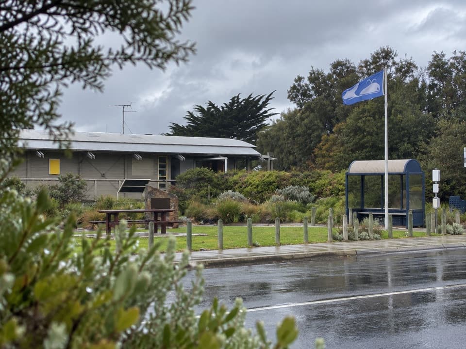
Picnic-area basicsParking, picnic tables and toilets are by the access area, not down on the shore.

Parking, picnic tables and toilets are by the access area, not down on the shore. Treat this as a bring-your-own picnic stop: Apollo Bay is the nearest food stop noted for this stretch, and potable water at the picnic area is not confirmed. Dogs are not allowed in the national park.

Wildlife

Wildlife in Great Otway

All Great Otway wildlife maps

Sighting maps show where each species has been reported across Great Otway. Wildlife moves, so no sighting is guaranteed.

Keep exploring

Near Shelly Beach

See it all on the map

Trails nearby

More stops nearby

Parkwolf’s Great Otway ranking

Top sights in Great Otway

All 79 places
  1. 1Cape Otway LightstationSight
  2. 2Erskine FallsSight
  3. 3Hopetoun FallsSight
  4. 4Triplet FallsSight
  5. 5Aire Valley RedwoodsSight
  6. 6Lake ElizabethSight

Take Parkwolf to Great Otway.

The audio tour guide for the drive, plus offline maps, trails, and wildlife heatmaps for when the signal drops.

4.7 from 8,600+ ratings

Download Parkwolf on the App StoreGet Parkwolf on Google Play