Parking
Start at the Great Ocean Walk access in Blanket Bay Campground. The stage ends at Cape Otway GOW Campsite, a hike-in site; arrange a vehicle transfer or onward itinerary before setting out.
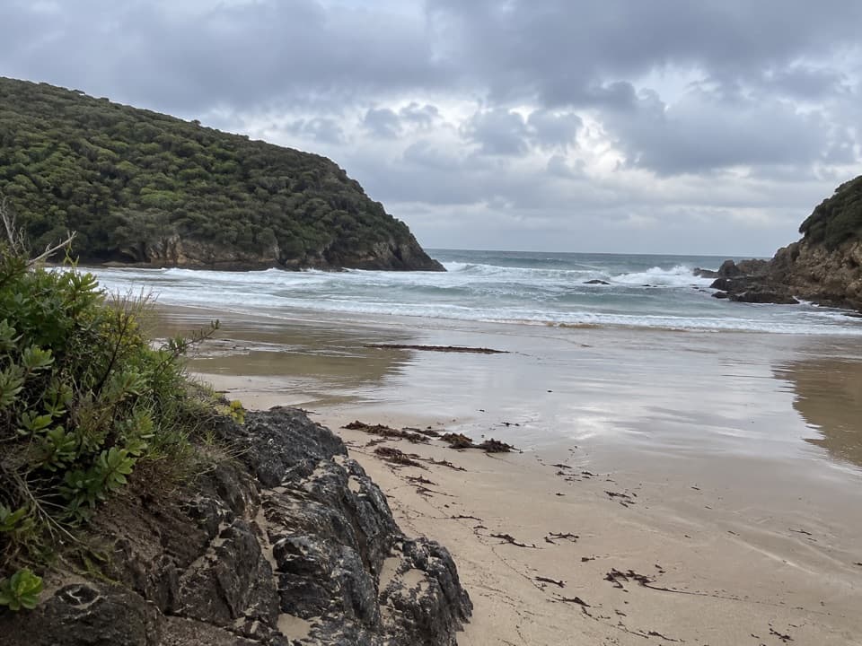
Great Otway National Park, VIC
An 11 km one-way coastal stage from Blanket Bay to Cape Otway.
Overview
The hike-in camps have rainwater tanks, but the water is untreated and supply is not guaranteed. Carry enough for the stage and treat any tank water you use. Parker Inlet is the best place to pause for a wide coastal photograph: from the established track, the water and forested slopes give the view its shape. Stay on the marked path around shore platforms, where tides and swell can limit safe access.
 Parkwolf’s verdictWater and a worthwhile pause
Map & elevation
Plan your hike

The highest, rockiest slopes around here are a summer buffet for grizzly bears.
Great Otway Tour Guide
Parkwolf is a GPS audio tour guide for Great Otway National Park. As you drive, it chimes in with what’s ahead: hidden gems, upcoming stops, history, geology, and wildlife, right through your car’s speakers.
See the Great Otway audio tourRecorded for this trailhead
Blanket Bay: Sand and Rockpools“Blanket Bay is coming up, a sheltered cove for a shore wander or picnic. Head to the eastern end if you want sand; the western shore has broad rock shelves, with shallow pools and patterned stone exposed at low tide.”
Plays as you drive up to this trailhead in the Parkwolf Great Otway Tour Guide.
More stories near here in the app
“Fantastic app with many points of information… It’s great to just turn on while you’re driving and it gives you an audio tour of the national Park. We love it!!!!”


Trail guide
This is the 11 km, one-way section of the Great Ocean Walk from Blanket Bay Campground to the Cape Otway hike-in campsite. It threads coastal forest and heath, with openings toward Parker Inlet, Bass Strait and the Otway coastline. Parks Victoria’s stage plan estimates about 3 hours 45 minutes and grades the walk Easy/Medium. Leave extra time for breaks and for the river crossing; this is a full walking day with several climbs, not a quick beach stroll. The mapped profile rises from near sea level to around 100 metres and finishes on higher ground near Cape Otway.
The two campgrounds are the route’s endpoints. Arrange a vehicle transfer or fit the stage into a longer westbound itinerary before leaving Blanket Bay. Cape Otway GOW Campsite is a hike-in site, so plan the final connection and pickup in advance. Great Ocean Walk campsites have limited capacity and require advance booking for an overnight stay. Dogs are not allowed on this national park route.
From the car-based campground, the track climbs out through coastal woodland before opening to views over the bay and sea. Much of the walk stays among forest and heath, with occasional clearings rather than continuous cliff-top views. The path descends toward Parker Inlet, where river, beach and coast meet. Expect varied, unpaved footing through the stage; keep a comfortable pace for the rises and uneven sections instead of judging the effort by the map distance alone.
After the inlet, follow the marked hill alignment past Parker Hill Campground and continue west through forest and coastal heath. The route rolls between sheltered stretches and open glimpses of Bass Strait. Toward Cape Otway, look for views down the coast and toward the Lightstation. The stage finishes at the Great Ocean Walk’s Cape Otway hike-in campsite. A visit inside the paid Lightstation precinct is a separate stop, so allow for it outside the stage’s 11 km and walking time.
Parker River is an unbridged crossing on the stage. Tide, swell and river level matter: Parks Victoria’s walk guidance advises crossing unbridged rivers and coastal sections only at low tide, in calm seas and with low water levels. Heavy rain can raise water quickly. Be ready to wait or turn back when the crossing is unsafe, and check current park advice before setting out. Older route accounts describe a low-tide rock or beach alternative; use the marked stage route instead of treating that older line as the standard walk.
Wildlife
 204 sightingsKoalaMost seen around 6 PMSighting map
 35 sightingsGrey KangarooMost seen around 6 AMSighting map
 109 sightingsEchidnaMost seen around 5 PMSighting map
 58 sightingsKookaburraMost seen around 6 AMSighting map
 97 sightingsSwamp WallabyMost seen around 6 PMSighting map
 20 sightingsBrushtail PossumMost seen around 8 PMSighting map
Sighting maps show where each species has been reported across Great Otway. Wildlife moves, so no sighting is guaranteed.
Keep exploring
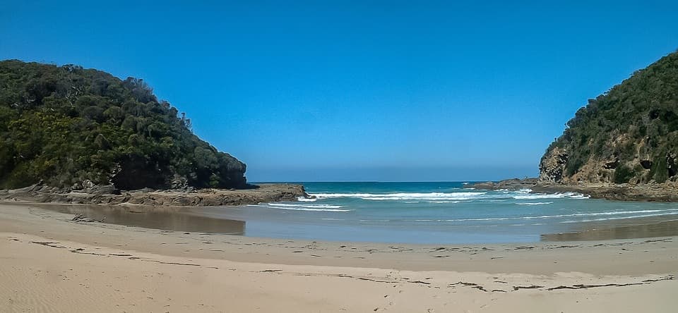 EasyBlanket Bay to Parker Inlet Walk4.6 km · 1.8 hr · 0.1 km awayCoastal bush, an inlet crossing and steep steps to Parker Hill.ChallengingParker River Inlet Walk0.5 km · 36 min · 3 km awayA steep 300-step descent to a river-mouth beach.
 EasyParker Hill Campground and Stringybark Loop Walk4 km · 1.5 hr · 3 km awayA forest and clifftop circuit above Parker Inlet.
 ModeratePoint Franklin and Crayfish Bay Walk1.5 km · 40 min · 4.2 km awayA short Point Franklin loop to Crayfish Bay’s grottos and rock pools.
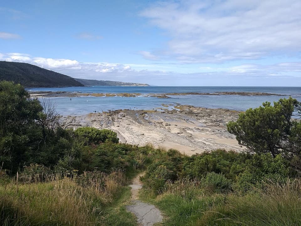 ModerateElliot Ridge to Blanket Bay12 km · 4.5 hr · 5.1 km awayForest roads lead to a switchback descent and Blanket Bay's shore.
 ModerateElliot River Circuit Walk4.7 km · 1.8 hr · 5.2 km awayRock-hop Elliot River, then climb Elliott Ridge through ferny gullies.
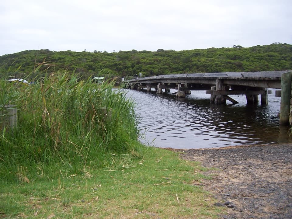 ModerateCape Otway to Aire River10 km · 3.8 hr · 6.6 km awayCoastal heath, cliff-top views and a river finish
 EasyMaits Rest Rainforest Walk0.8 km · 30 min · 8.4 km awayA brief 800-metre loop through giant beech and tree ferns.
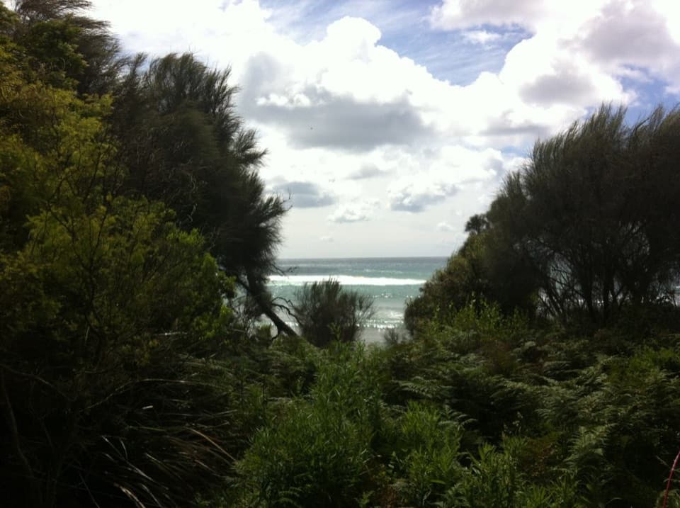 Campground · At the trailheadBlanket Bay CampgroundA small unpowered camp tucked behind Cape Otway’s sheltered beach.
 Beach · At the trailheadBlanket BayA sheltered cove where low tide reveals patterned rock shelves.
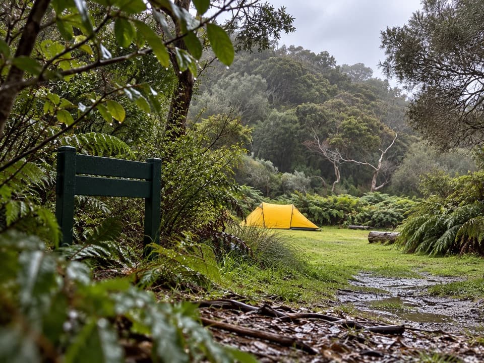 Campground · 0.1 km awayBlanket Bay Hike-in CampgroundA booked overnight camp for Great Ocean Walk hikers.
 Campground · 3 km awayParker Hill CampgroundCamp beneath stringybarks above Parker Inlet
 Campground · 4.8 km awayElliot Ridge Hike-in CampgroundA quiet forest night stop for Great Ocean Walk hikers
 Beach · 5.3 km awayShelly BeachFern-lined walk to tide pools and a small, rugged cove.
 Campground · 6.1 km awayBimbi ParkCamp beneath manna gums for a chance at koalas overhead.
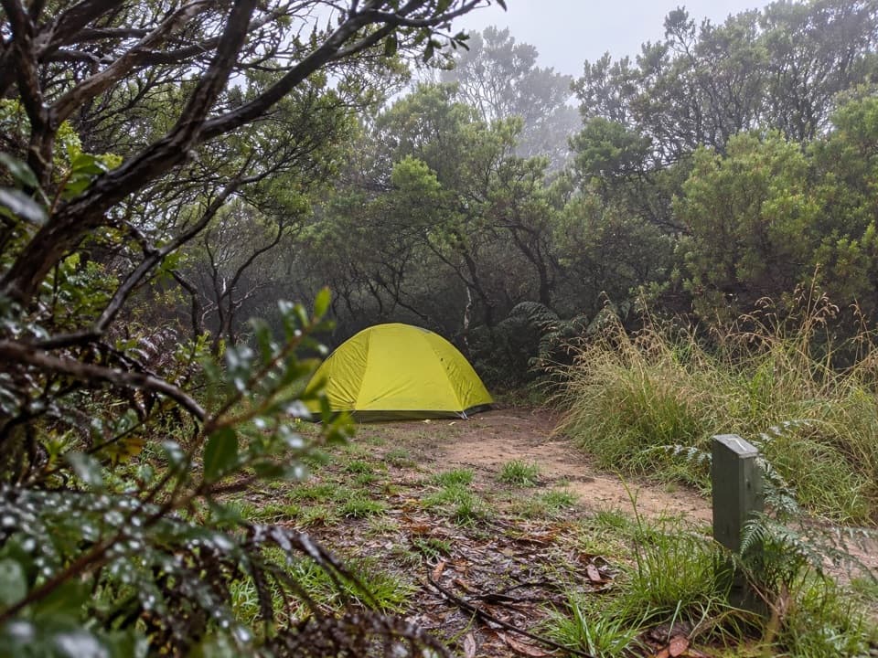 Campground · 6.4 km awayCape Otway Hike-in CampgroundA booked, sheltered night among coastal scrub.
Parkwolf’s Great Otway ranking
The audio tour guide for the drive, plus offline maps, trails, and wildlife heatmaps for when the signal drops.




