Parking
Start at Parker Hill Campground on Parker Hill Track; the visitor map also marks a Point Franklin carpark as an alternative. Parking capacity, fees and current availability were not confirmed.

Great Otway National Park, VIC
A forest and clifftop circuit above Parker Inlet.
Overview
Map & elevation
Plan your hike

The highest, rockiest slopes around here are a summer buffet for grizzly bears.
Great Otway Tour Guide
Parkwolf is a GPS audio tour guide for Great Otway National Park. As you drive, it chimes in with what’s ahead: hidden gems, upcoming stops, history, geology, and wildlife, right through your car’s speakers.
See the Great Otway audio tourRecorded for this trailhead
Parker Hill and Crayfish Bay: The Coastal Loop“You’re approaching the turnoff for Parker Hill and Crayfish Bay. For a short coastal outing, I’d choose the Crayfish Bay loop from Point Franklin car park, taking about forty minutes plus time on the shore.”
Plays as you drive up to this trailhead in the Parkwolf Great Otway Tour Guide.
More stories near here in the app
“Fantastic app with many points of information… It’s great to just turn on while you’re driving and it gives you an audio tour of the national Park. We love it!!!!”


Trail guide
This is a 4.0 km (2.5 mi) circuit from Parker Hill Campground. Follow the clifftop Great Ocean Walk west to Point Franklin, then return inland via Crayfish Bay and Parker Hill tracks through the stringybark route network. Allow about 1½ hours for the full mapped loop. Older visitor information lists 3 km and one hour; the complete connected track line is closer to 4 km, so leave time for this full version. You can also start at Point Franklin and walk the loop in reverse.
The coastal leg opens to high views over sheltered Parker Inlet and the open Southern Ocean. Look toward Cape Otway Lightstation on the clifftop stretch; it appears in the distance. The inland return shifts from water views to stringybark forest around Parker Hill.
A steep stair spur, described as roughly 300 steps, drops to the sheltered inlet. It is an optional out-and-back detour and is not included in the 4.0 km loop. A separate route continues along beaches and rock ledges toward Point Franklin at low tide; do not add that shoreline section to this circuit without checking the tide and access.
Cape Otway Lightstation began operating in 1848 and was decommissioned in 1994, after the longest continuous operation by a light on the Australian mainland. The distant view from the clifftop ties the walk to the maritime history of this coast.
Parker Hill Campground is the practical start, and the visitor map also marks a Point Franklin carpark. The campground map shows toilets and picnic tables, but no food or drinking-water stop on the circuit was confirmed. Dogs are generally not permitted in Great Otway National Park.
Wildlife
 204 sightingsKoalaMost seen around 6 PMSighting map
 35 sightingsGrey KangarooMost seen around 6 AMSighting map
 109 sightingsEchidnaMost seen around 5 PMSighting map
 58 sightingsKookaburraMost seen around 6 AMSighting map
 97 sightingsSwamp WallabyMost seen around 6 PMSighting map
 20 sightingsBrushtail PossumMost seen around 8 PMSighting map
Sighting maps show where each species has been reported across Great Otway. Wildlife moves, so no sighting is guaranteed.
Keep exploring
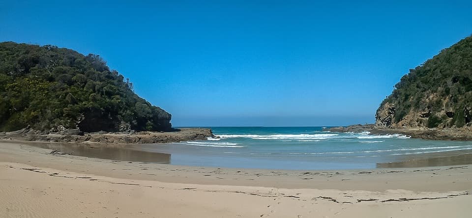 ChallengingParker River Inlet Walk0.5 km · 36 min · At the trailheadA steep 300-step descent to a river-mouth beach.
 ModeratePoint Franklin and Crayfish Bay Walk1.5 km · 40 min · 1.3 km awayA short Point Franklin loop to Crayfish Bay’s grottos and rock pools.EasyBlanket Bay to Parker Inlet Walk4.6 km · 1.8 hr · 2.9 km awayCoastal bush, an inlet crossing and steep steps to Parker Hill.
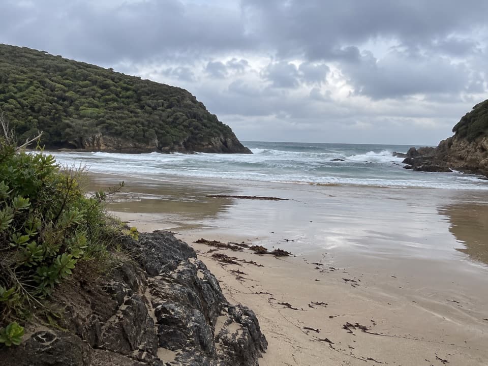 ModerateGreat Ocean Walk: Blanket Bay to Cape Otway11 km · 3.8 hr · 3 km awayAn 11 km one-way coastal stage from Blanket Bay to Cape Otway.
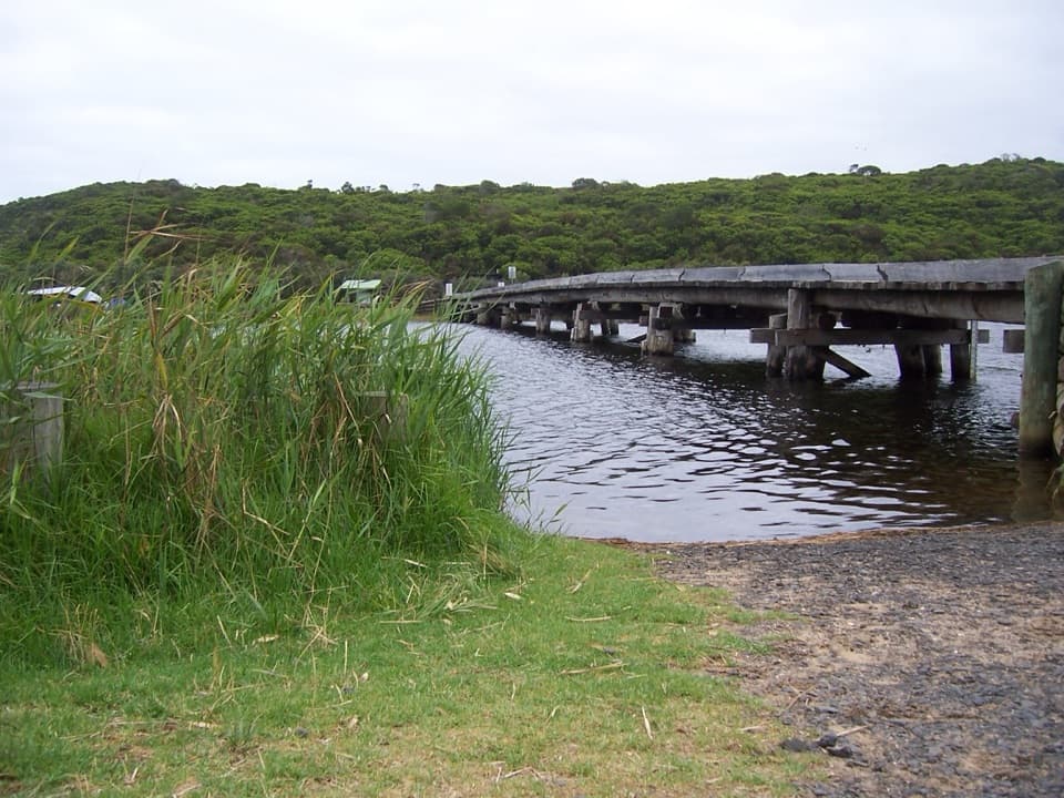 ModerateCape Otway to Aire River10 km · 3.8 hr · 3.9 km awayCoastal heath, cliff-top views and a river finish
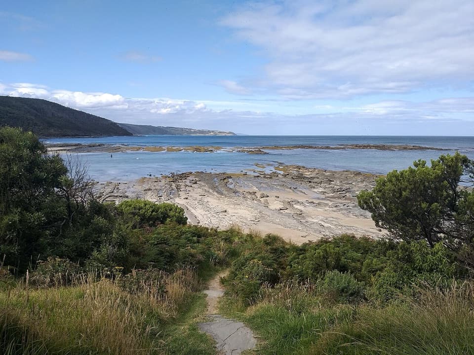 ModerateElliot Ridge to Blanket Bay12 km · 4.5 hr · 8 km awayForest roads lead to a switchback descent and Blanket Bay's shore.
 ModerateElliot River Circuit Walk4.7 km · 1.8 hr · 8.2 km awayRock-hop Elliot River, then climb Elliott Ridge through ferny gullies.
 ModerateAire River Escarpment Lookout Walk4 km · 2 hr · 8.5 km awayA short climb from river estuary to ocean views.
 Campground · At the trailheadParker Hill CampgroundCamp beneath stringybarks above Parker Inlet
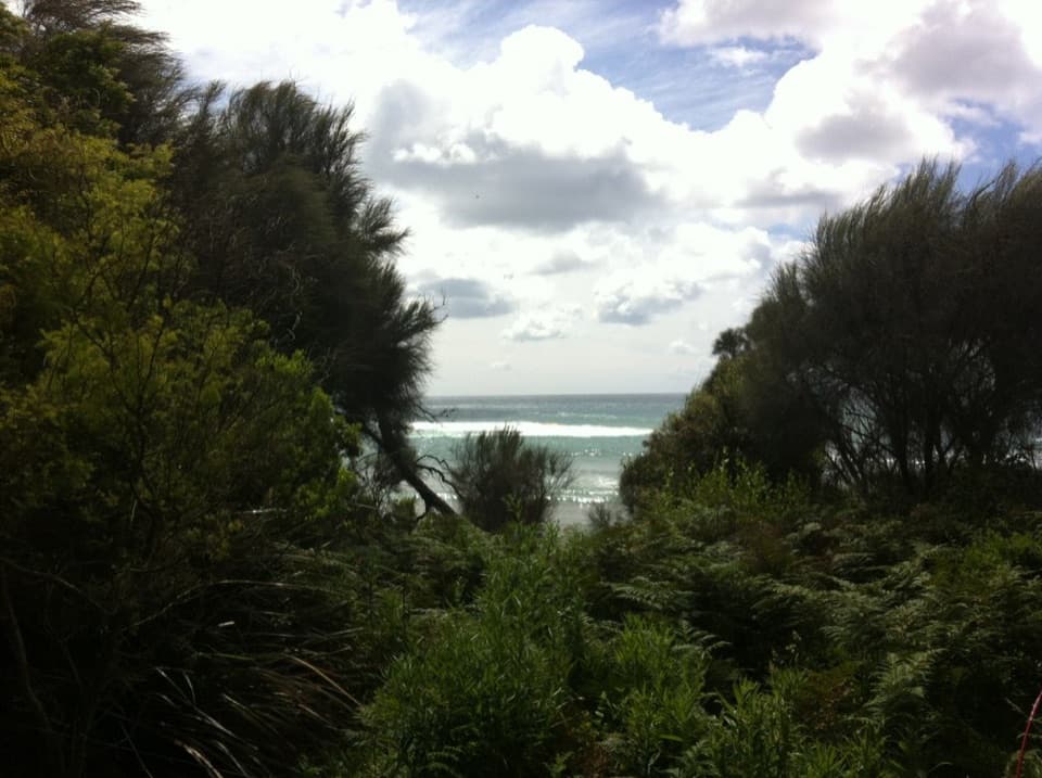 Campground · 3 km awayBlanket Bay CampgroundA small unpowered camp tucked behind Cape Otway’s sheltered beach.
 Beach · 3 km awayBlanket BayA sheltered cove where low tide reveals patterned rock shelves.
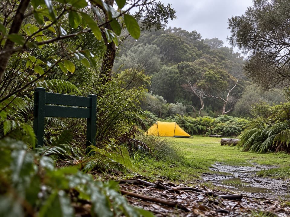 Campground · 3 km awayBlanket Bay Hike-in CampgroundA booked overnight camp for Great Ocean Walk hikers.
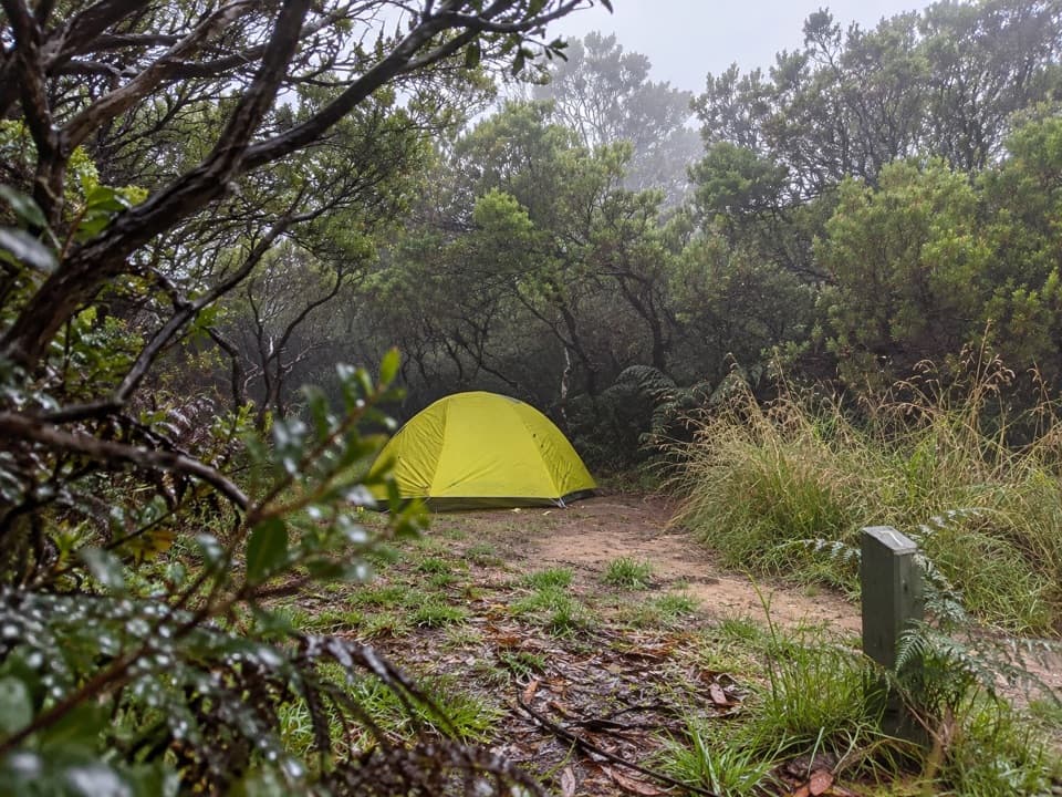 Campground · 3.8 km awayCape Otway Hike-in CampgroundA booked, sheltered night among coastal scrub.
 Sight · 3.9 km awayCape Otway LightstationA 1848 lighthouse with coastal views and a layered maritime story.
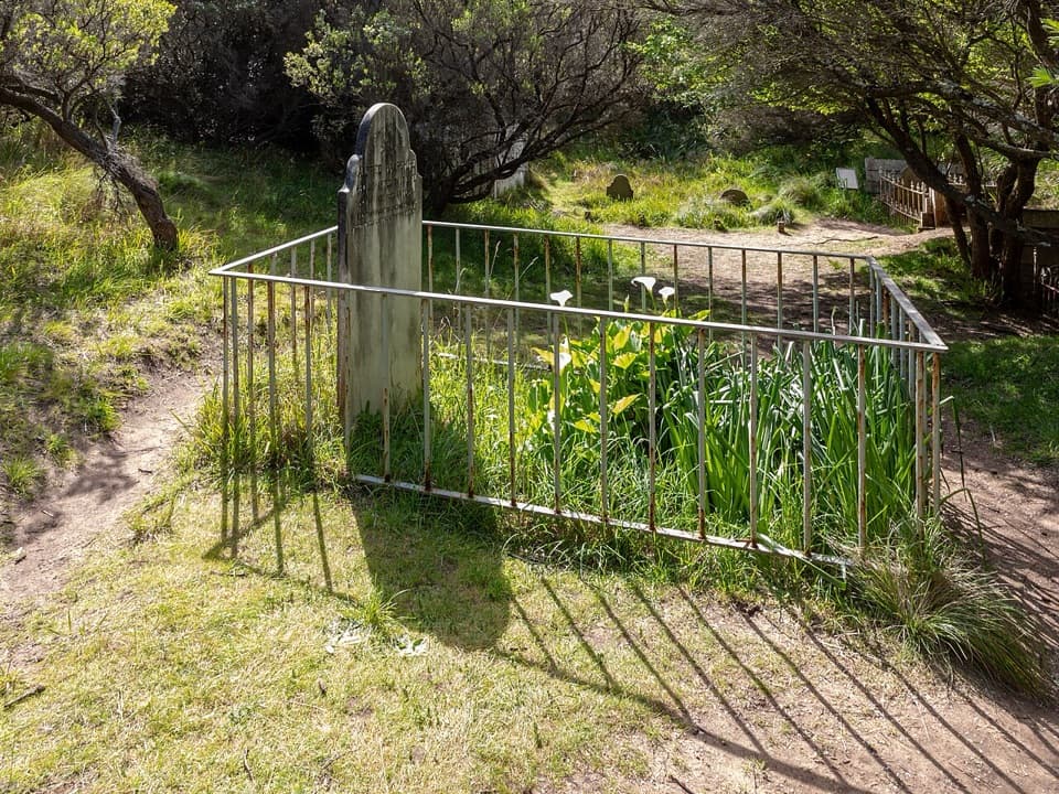 Sight · 4.1 km awayCape Otway CemeteryA cemetery walk puts the lightstation's isolation in view.
 Campground · 4.3 km awayBimbi ParkCamp beneath manna gums for a chance at koalas overhead.
Parkwolf’s Great Otway ranking

The audio tour guide for the drive, plus offline maps, trails, and wildlife heatmaps for when the signal drops.





