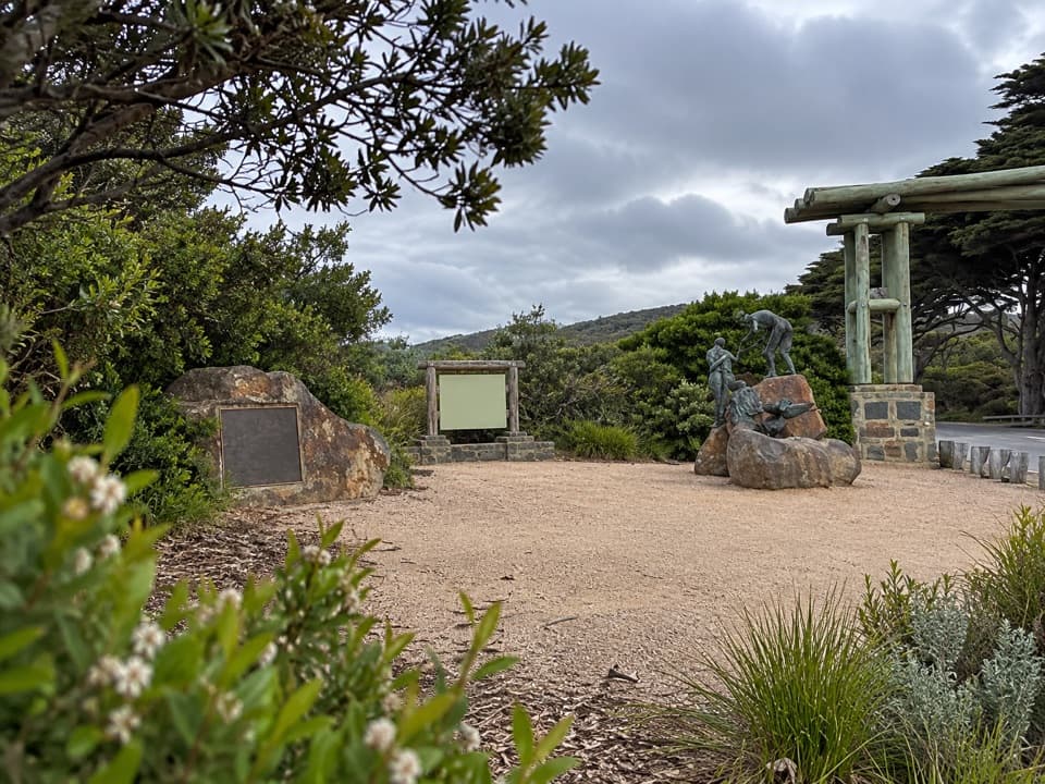
Ocean View Lookout, Moggs Creek in Great Otway National Park

Sight · Great Otway National Park

Ocean View Lookout, Moggs Creek

A wide coast view with a lighthouse, beach and road below.

Type
Sight
Nearest trail
0.8 km
Audio stories
3 nearby
  • Scenic viewpoint

Hear the audio tour

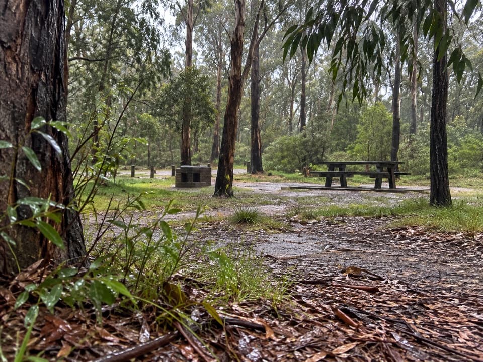
Moggs Creek: A Picnic in the Forest

Overview

About Ocean View Lookout, Moggs Creek

Why stop

  • The approach passes Austral Grass-trees and fire-marked forest before the coast.

Heads up

  • The view takes a 4.5–5 km circuit with some steep uphill sections.
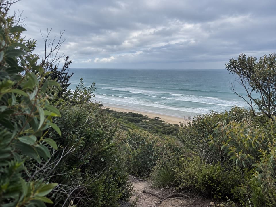
Ocean View Lookout is the coastal viewpoint on the Moggs Creek Ocean View circuit. From here the sweep takes in the Great Ocean Road, Fairhaven and open ocean, with the coast running toward Aireys Inlet and Lorne. On a clear day, look for Split Point Lighthouse along the shore. I'd make the walk if you want more than a roadside stop; the lookout comes after a woodland climb, not a quick drive-up.
Parkwolf’s verdictThe view is the payoff

Map

Where it is

Loading the Great Otway map
Full map
SightOcean View Lookout, Moggs Creek-38.46824, 144.05340
Keep this map with you offline in the Parkwolf app

Plan your stop

Before you go

3 active Great Otway alerts

  • ClosureWye Road closed after storm and flood damageWye Road is closed until further notice because recent storm and flood damage requires road maintenance and repair works; plan around the closure.Official details
  • ClosureLorne-area walking trails closed after flood damageSome walking trails near Lorne are closed for public safety after the January 2026 flash floods washed away or severely damaged bridges and walkways.Official details

See all 3 alerts
A park ranger sits on a dash-mounted phone, talking, as Parkwolf’s Tour Guide plays “Army Cutworm Moths: A Grizzly Bear Buffet” on Grand Loop Road below Dunraven Pass in Yellowstone
Parkwolf Tour GuideThe highest, rockiest slopes around here are a summer buffet for grizzly bears.

Great Otway Tour Guide

Your drive to Ocean View Lookout, Moggs Creek, narrated.

Parkwolf is a GPS audio tour guide for Great Otway National Park. As you drive, it chimes in with what’s ahead: hidden gems, upcoming stops, history, geology, and wildlife, right through your car’s speakers.

See the Great Otway audio tour

Recorded for this place

Moggs Creek: A Picnic in the Forest
0:00 / 0:35
“You’re coming up on Old Coach Road, the way inland to Moggs Creek Picnic Ground. Choose this stop for lunch in the trees or a short bush walk away from the coastal drive.”

Plays as you drive up to Ocean View Lookout, Moggs Creek in the Parkwolf Great Otway Tour Guide.

More stories near here in the app

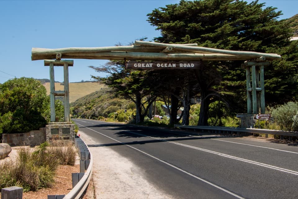
  • Memorial Arch: The Roadworkers Beside It
  • The Rockpool’s Folded Tentacles
  • The Wreck That Became Another Boat
  • Five Weeks After the Wreck
  • 252 audio storiesacross Great Otway’s roads, triggered by GPS as you drive
  • Wildlife heatmapsfor Koala, Grey Kangaroo, Echidna, and 13 more
  • Works offlinemaps, 83 trails, 79 places, and audio download before you lose signal
  • CarPlay readysimple controls built for the drive
★★★★★
“Fantastic app with many points of information… It’s great to just turn on while you’re driving and it gives you an audio tour of the national Park. We love it!!!!”
JMJamesApp Store review
Download Parkwolf on the App StoreGet Parkwolf on Google Play

4.7 from 8,600+ ratings

Guide

More about Ocean View Lookout, Moggs Creek

Plan for the whole circuitStart at Moggs Creek Picnic Ground.

Start at Moggs Creek Picnic Ground. The lookout spur leaves Moggs Creek Track, but reaching it means tackling the full loop: allow about two hours for roughly 4.5–5 km. Published route lengths differ slightly. Expect steady uphill walking and a few steep sections, and carry water.

Look along the coastGive the panorama a minute rather than taking in only the ocean.

Give the panorama a minute rather than taking in only the ocean. The Great Ocean Road follows the shoreline below, with beaches, houses and Split Point Lighthouse spread along the coast. For a photo, keep a little of the coastal scrub in the foreground so the road and beach have a sense of scale.

Dry forest, then heathlandThe circuit crosses dry forest of ironbarks, messmates, peppermints, Mountain Grey-gums and…

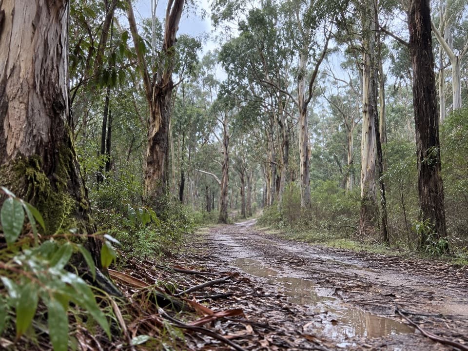
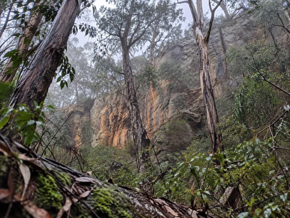
The circuit crosses dry forest of ironbarks, messmates, peppermints, Mountain Grey-gums and Southern Blue-gums. A stand of Austral Grass-trees marks the approach before the track drops toward the coast and the lookout spur.

Fire, flowers and wildlifeBlackened ironbark trunks recall the 1983 bushfires and later fuel-reduction burns.

Blackened ironbark trunks recall the 1983 bushfires and later fuel-reduction burns. Large-leaf Bush-pea flowers in spring, and small terrestrial orchids can appear in winter and spring. Eastern Grey Kangaroos are often seen along the walk; listen for Rufous Bristlebirds, Eastern Yellow Robins, White-throated Treecreepers and Grey Shrike-thrushes.

Use the picnic groundThe circuit starts at Moggs Creek Picnic Ground, where there are toilets, picnic tables and…

The circuit starts at Moggs Creek Picnic Ground, where there are toilets, picnic tables and wood-fired barbecues. Bring your own firewood if you plan to use a barbecue, and pack a snack for the walk.

Wildlife

Wildlife in Great Otway

All Great Otway wildlife maps

Sighting maps show where each species has been reported across Great Otway. Wildlife moves, so no sighting is guaranteed.

Keep exploring

Near Ocean View Lookout, Moggs Creek

See it all on the map

Trails nearby

More stops nearby

Parkwolf’s Great Otway ranking

Top sights in Great Otway

All 79 places
  1. 1Cape Otway LightstationSight
  2. 2Erskine FallsSight
  3. 3Hopetoun FallsSight
  4. 4Triplet FallsSight
  5. 5Aire Valley RedwoodsSight
  6. 6Lake ElizabethSight

Take Parkwolf to Great Otway.

The audio tour guide for the drive, plus offline maps, trails, and wildlife heatmaps for when the signal drops.

4.7 from 8,600+ ratings

Download Parkwolf on the App StoreGet Parkwolf on Google Play