Distillery Creek to Painkalac Dam in Great Otway National Park

Great Otway National Park, VIC

Distillery Creek to Painkalac Dam

An easy forest walk to the quiet edge of Painkalac Reservoir.

Length
6km
Time
1.5hr
Elev. change
60m
Difficulty
Easy
  • High point 89 m

Hear the audio tour

Distillery Creek: A Short Ironbark Walk

Overview

About Distillery Creek to Painkalac Dam

Why go

  • A quiet reservoir destination reached through varied eucalypt forest
  • Fire-scarred ironbarks and local birdlife add interest to the approach

Heads up

  • The mapped core route returns on the same forest track and gravel road

Map & elevation

The route

Loading the Great Otway map
Full map
Elevation29–89 m
TrailheadDistillery Creek Upper Day Visitor Area / upper car park-38.44469, 144.09541
Keep this map with you offline in the Parkwolf app

Plan your hike

Before you go

Parking

Begin at the upper car park in Distillery Creek Upper Day Visitor Area, off Bambra Road, by the toilet block. Use this upper access rather than the broader picnic-area map listing. There is no public vehicle access to the reservoir; walk in and carry provisions.

Safety

Barwon Water warns of snakes, especially in warmer months. Follow signs and remain on the designated public reservoir path. The gravel access is shared with bikes and horses; the full-route dog rule is not established (leashed dogs are confirmed at the upper visitor area only).

3 active Great Otway alerts

  • ClosureWye Road closed after storm and flood damageWye Road is closed until further notice because recent storm and flood damage requires road maintenance and repair works; plan around the closure.Official details
  • ClosureLorne-area walking trails closed after flood damageSome walking trails near Lorne are closed for public safety after the January 2026 flash floods washed away or severely damaged bridges and walkways.Official details
See all 3 alerts
A park ranger sits on a dash-mounted phone, talking, as Parkwolf’s Tour Guide plays “Army Cutworm Moths: A Grizzly Bear Buffet” on Grand Loop Road below Dunraven Pass in Yellowstone
Parkwolf Tour GuideThe highest, rockiest slopes around here are a summer buffet for grizzly bears.

Great Otway Tour Guide

Your drive to Distillery Creek to Painkalac Dam, narrated.

Parkwolf is a GPS audio tour guide for Great Otway National Park. As you drive, it chimes in with what’s ahead: hidden gems, upcoming stops, history, geology, and wildlife, right through your car’s speakers.

See the Great Otway audio tour

Recorded for this trailhead

Distillery Creek: A Short Ironbark Walk
0:00 / 0:33
“You're nearing Distillery Creek Picnic Area, a pair of picnic grounds in dry ironbark forest. For a short woodland break, start at the lower ground and give the Nature Trail thirty to forty-five minutes.”

Plays as you drive up to this trailhead in the Parkwolf Great Otway Tour Guide.

More stories near here in the app

  • Sunnymead Beach and The Shack
  • The Seed Head That Rolls Away
  • The Crabs That March Forwards
  • The Wreck That Became Another Boat
  • 252 audio storiesacross Great Otway’s roads, triggered by GPS as you drive
  • Wildlife heatmapsfor Koala, Grey Kangaroo, Echidna, and 13 more
  • Works offlinemaps, 83 trails, 79 places, and audio download before you lose signal
  • CarPlay readysimple controls built for the drive
★★★★★
“Fantastic app with many points of information… It’s great to just turn on while you’re driving and it gives you an audio tour of the national Park. We love it!!!!”
JMJamesApp Store review
Download Parkwolf on the App StoreGet Parkwolf on Google Play

4.7 from 8,600+ ratings

Trail guide

Hiking Distillery Creek to Painkalac Dam

The walkThis is an easy out-and-back from the upper Distillery Creek car park to Painkalac Reservoir:…

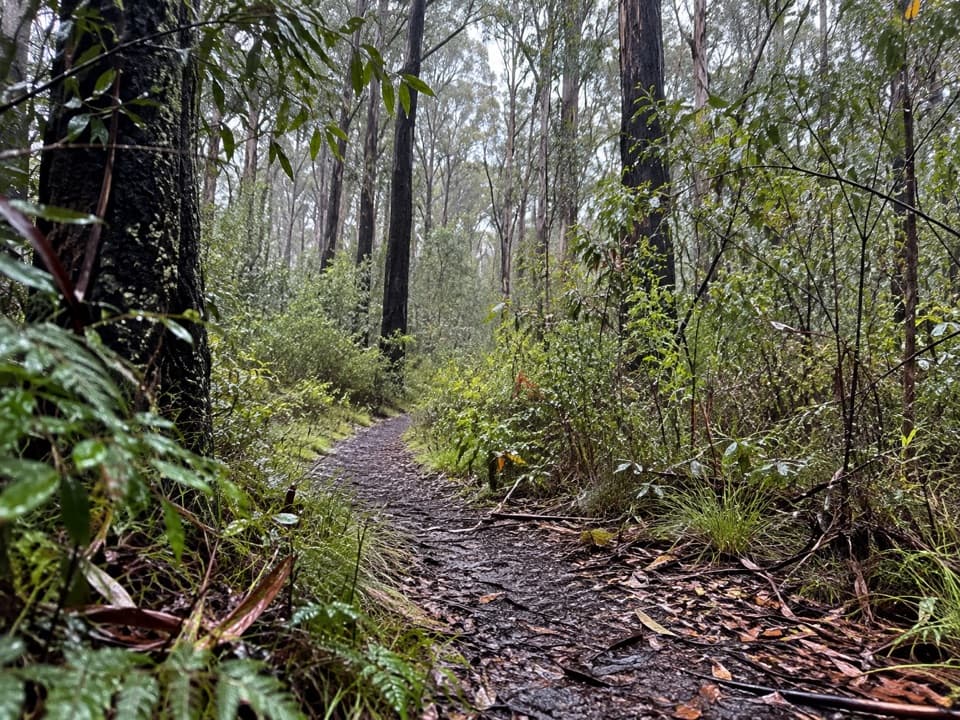
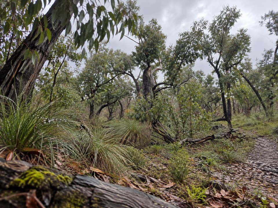
This is an easy out-and-back from the upper Distillery Creek car park to Painkalac Reservoir: about 6 km (3.7 mi) round trip and roughly 90 minutes. A narrow eucalypt path gives way to an unsealed gravel access track with a gradual climb. The mapped route ends at the designated reservoir access and returns the same way. A longer local version continues across below the spillway and climbs to a shaded south-shore track and picnic table; it is described as about 8 km return in 3 hours, but its far endpoint could not be matched confidently to a mapped public path, so that extension is not included here.

Forest and fireStart beside the toilet block on the track signed toward Moggs Creek.

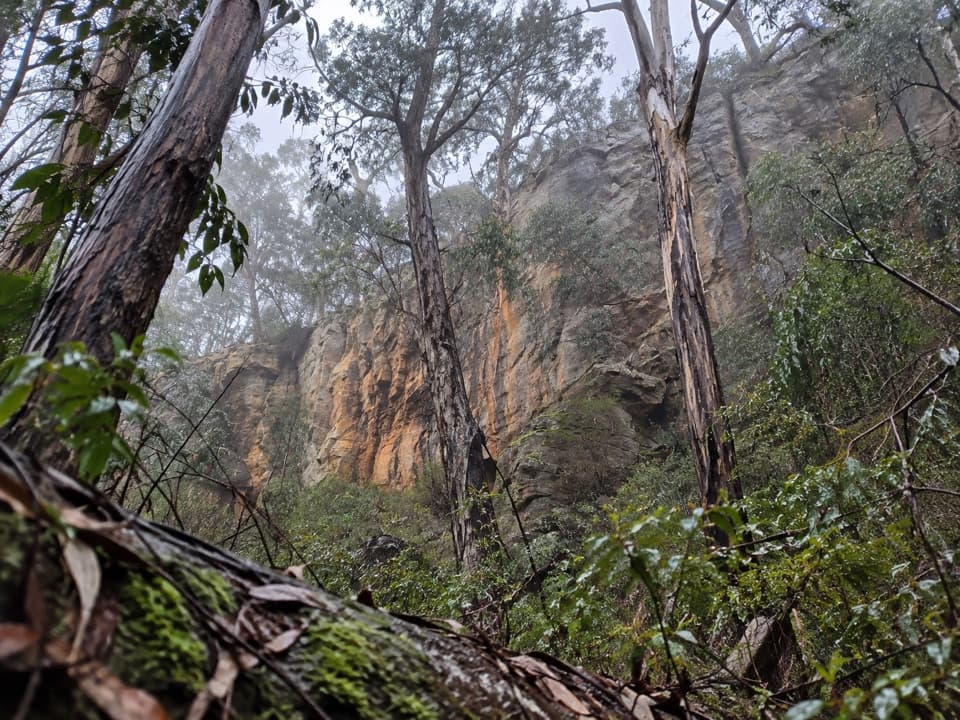
Start beside the toilet block on the track signed toward Moggs Creek. After about 1 km, turn left onto the gravel access road. It winds through wattles and eucalypts, with gradual uphill stretches and glimpses of tree-clad Otway hills. Blackened ironbark trunks along the opening section recall the 1983 bushfires and later planned burns. This is mostly a forest approach rather than a continuous waterside walk.

At the reservoirKeep to the signed public section of the reservoir path; there is no public vehicle access to…

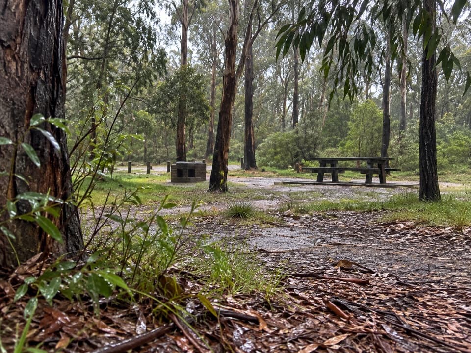
Keep to the signed public section of the reservoir path; there is no public vehicle access to the water, so bring provisions. The shoreline is the payoff, with reeds, water and forested slopes. The upper and lower picnic areas are separate stops with tables and wood-fired barbecues; bring your own wood, and toilets are at the upper area. No drinking-water source is confirmed. Barwon Water advises watching for snakes in warmer months. Birds listed for the area include wedge-tailed eagles, yellow-tailed black cockatoos, New Holland honeyeaters and spotted pardalotes, though sightings are never guaranteed. The gravel access is shared with cyclists and horse riders in places. Dogs on leash are allowed at the upper visitor area, but the rule for the whole route is unclear; follow posted guidance.

Wildlife

Wildlife in Great Otway

All Great Otway wildlife maps

Sighting maps show where each species has been reported across Great Otway. Wildlife moves, so no sighting is guaranteed.

Keep exploring

Near Distillery Creek to Painkalac Dam

See it all on the map

Trails that start nearby

Places near the trailhead

Parkwolf’s Great Otway ranking

Top-rated trails in Great Otway

All 83 trails
  1. 1Great Ocean WalkChallenging · 100 km
  2. 2Maits Rest Rainforest WalkEasy · 0.8 km
  3. 3Triplet Falls WalkModerate · 1.8 km
  4. 4Hopetoun Falls WalkModerate · 0.8 km
  5. 5Madsen’s Track Nature WalkModerate · 1.4 km
  6. 6Lake Elizabeth Loop WalkEasy · 4.7 km

Take Parkwolf to Great Otway.

The audio tour guide for the drive, plus offline maps, trails, and wildlife heatmaps for when the signal drops.

4.7 from 8,600+ ratings

Download Parkwolf on the App StoreGet Parkwolf on Google Play