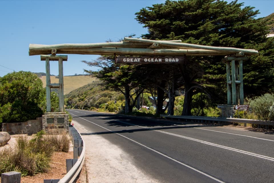
Sunnymead Beach in Great Otway National Park

Beach · Great Otway National Park

Sunnymead Beach

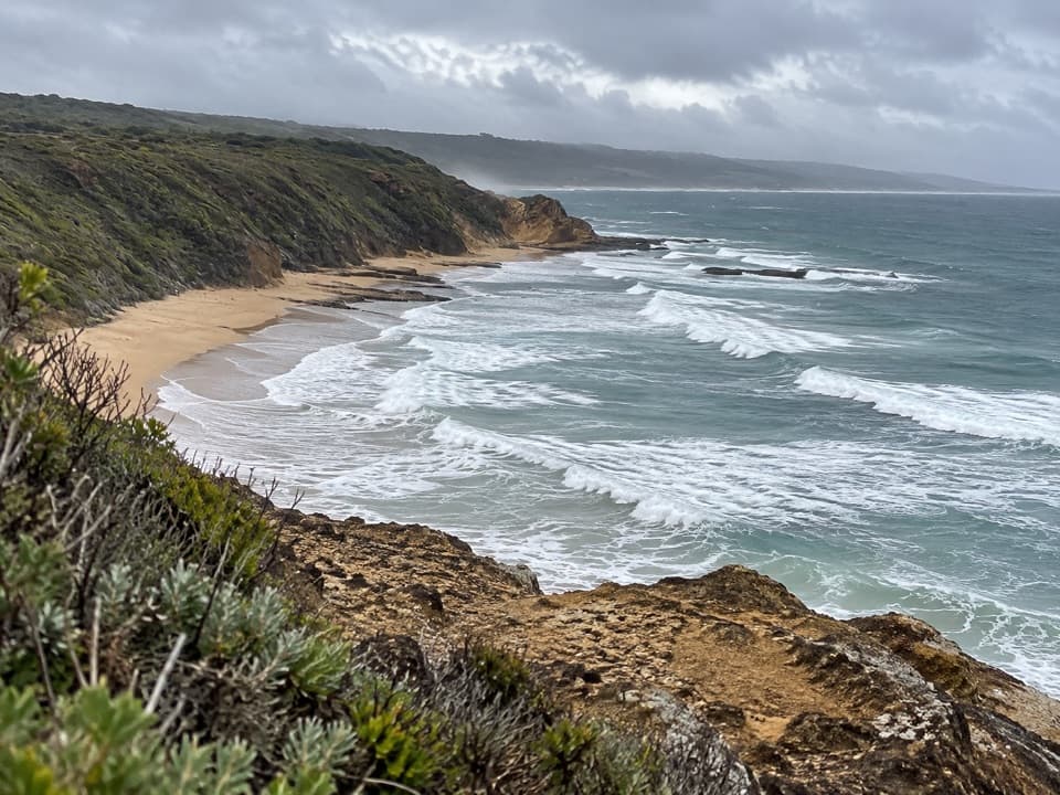
A quiet cove of reefs and rock pools, reached by steep steps.

Type
Beach
Nearest trail
1.2 km
Audio stories
8 nearby
  • Parking
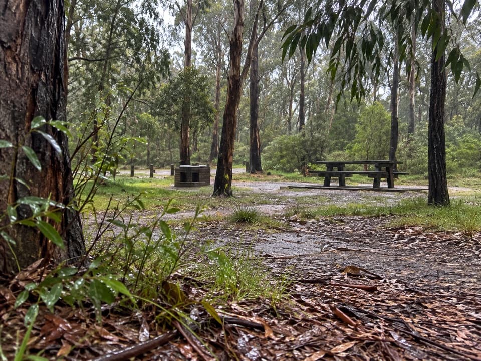
  • Restrooms
  • Scenic viewpoint

Hear the audio tour

Sunnymead Beach and The Shack

Overview

About Sunnymead Beach

Why stop

  • The clifftop lookout adds a wider coast view before you head down.

Heads up

  • The steep descent and climb back make this a poor fit if you avoid steps.

Map

Where it is

Loading the Great Otway map
Full map
BeachSunnymead Beach-38.45049, 144.11904
Keep this map with you offline in the Parkwolf app

Plan your stop

Before you go

3 active Great Otway alerts

  • ClosureWye Road closed after storm and flood damageWye Road is closed until further notice because recent storm and flood damage requires road maintenance and repair works; plan around the closure.Official details
  • ClosureLorne-area walking trails closed after flood damageSome walking trails near Lorne are closed for public safety after the January 2026 flash floods washed away or severely damaged bridges and walkways.Official details

See all 3 alerts
A park ranger sits on a dash-mounted phone, talking, as Parkwolf’s Tour Guide plays “Army Cutworm Moths: A Grizzly Bear Buffet” on Grand Loop Road below Dunraven Pass in Yellowstone
Parkwolf Tour GuideThe highest, rockiest slopes around here are a summer buffet for grizzly bears.

Great Otway Tour Guide

Your drive to Sunnymead Beach, narrated.

Parkwolf is a GPS audio tour guide for Great Otway National Park. As you drive, it chimes in with what’s ahead: hidden gems, upcoming stops, history, geology, and wildlife, right through your car’s speakers.

See the Great Otway audio tour

Recorded for this place

Sunnymead Beach and The Shack
0:00 / 0:28
“You're coming up on the Boundary Road access for Sunnymead Beach, a small sand-and-reef cove below the cliffs.”

Plays as you drive up to Sunnymead Beach in the Parkwolf Great Otway Tour Guide.

More stories near here in the app

  • The Crabs That March Forwards
  • The Seed Head That Rolls Away
  • Urquhart Bluff: Beach or Lookout
  • Distillery Creek: A Short Ironbark Walk
  • 252 audio storiesacross Great Otway’s roads, triggered by GPS as you drive
  • Wildlife heatmapsfor Koala, Grey Kangaroo, Echidna, and 13 more
  • Works offlinemaps, 83 trails, 79 places, and audio download before you lose signal
  • CarPlay readysimple controls built for the drive
★★★★★
“Fantastic app with many points of information… It’s great to just turn on while you’re driving and it gives you an audio tour of the national Park. We love it!!!!”
JMJamesApp Store review
Download Parkwolf on the App StoreGet Parkwolf on Google Play

4.7 from 8,600+ ratings

Guide

More about Sunnymead Beach

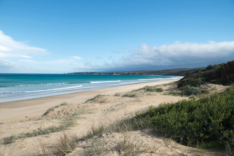
A cove below the cliffsSunnymead Beach is a small, sand-and-reef cove below the eroding bluffs at Aireys Inlet.

Sunnymead Beach is a small, sand-and-reef cove below the eroding bluffs at Aireys Inlet. It’s a good pick for a quieter beach stop and low-tide rock pools; the surf is unpatrolled, so it’s best for experienced swimmers. Start at the Boundary Road access and expect a steep descent through a gully on steps, plus a short bridge. You’ll climb back out the same way.

Tide, lookout and basicsThe rock shelves and pools are easier to explore at low tide.

The rock shelves and pools are easier to explore at low tide. At high water, there may be very little sand left, so check the tide if you’re planning a longer wander along the shore. The Boundary Road lookout looks over Sunnymead toward Urquhart Bluff; frame the beach with that bluff behind it, or include the dark reef shelves from below. Basic restrooms and free parking are available near the access, and parking can fill during busy periods.

How the coast takes shapeThe bluffs along this stretch rise roughly 20 to 50 metres and are made of limestone, tuff,…

The bluffs along this stretch rise roughly 20 to 50 metres and are made of limestone, tuff, clay and silt that erode more easily than hard rock. The sea leaves platforms and reefs at the waterline, with pools and ledges to explore when the tide allows.

The Sunnymead storyThe beach takes its name from a 106-acre coastal property owned by Charles Lane, who spent much…

The beach takes its name from a 106-acre coastal property owned by Charles Lane, who spent much of 1913 to 1925 there. In 1920, Lewis Grutzner won the right to buy a one-acre Sunnymead parcel along Boundary Road in a card game. He built a holiday cottage called The Shack and a bathing box. The cottage was lost in the 1936 bushfire; bathing boxes lasted through the Second World War, then were removed by the early 1960s.

Wildlife

Wildlife in Great Otway

All Great Otway wildlife maps

Sighting maps show where each species has been reported across Great Otway. Wildlife moves, so no sighting is guaranteed.

Keep exploring

Near Sunnymead Beach

See it all on the map

Trails nearby

More stops nearby

Parkwolf’s Great Otway ranking

Top sights in Great Otway

All 79 places
  1. 1Cape Otway LightstationSight
  2. 2Erskine FallsSight
  3. 3Hopetoun FallsSight
  4. 4Triplet FallsSight
  5. 5Aire Valley RedwoodsSight
  6. 6Lake ElizabethSight

Take Parkwolf to Great Otway.

The audio tour guide for the drive, plus offline maps, trails, and wildlife heatmaps for when the signal drops.

4.7 from 8,600+ ratings

Download Parkwolf on the App StoreGet Parkwolf on Google Play