Dogs and park rules
This access is marked within Great Otway National Park. Parks Victoria’s general rule does not allow dogs in national parks, except assistance dogs; follow posted signs at the access.
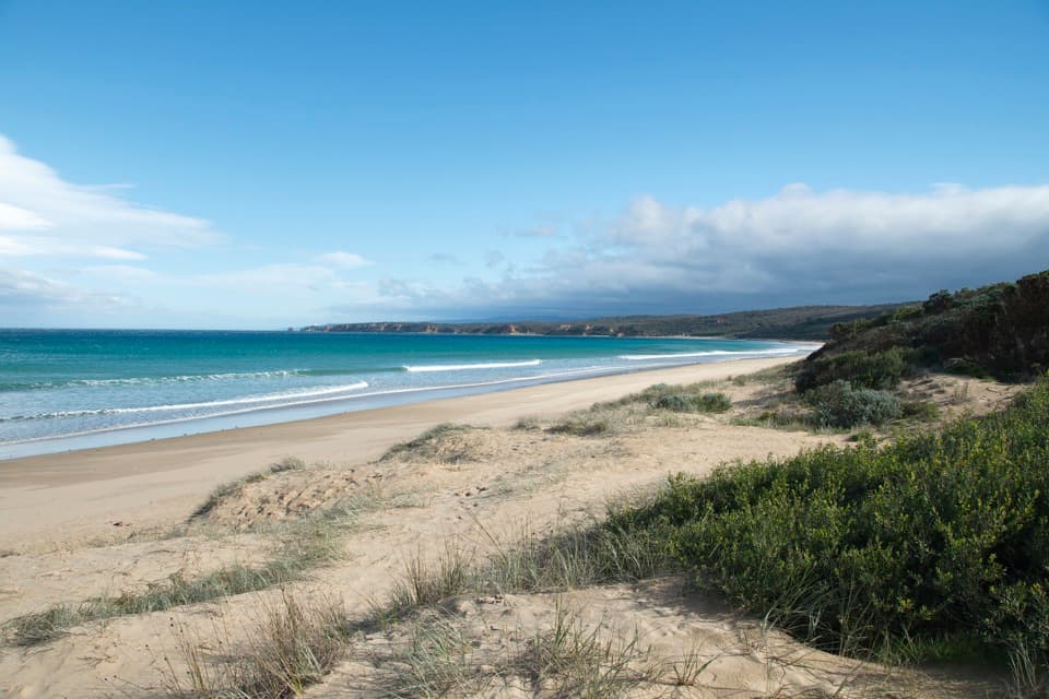
Beach · Great Otway National Park
A long, open stretch of sand with a lookout above the surf.
Overview
Map
Plan your stop

The highest, rockiest slopes around here are a summer buffet for grizzly bears.
Great Otway Tour Guide
Parkwolf is a GPS audio tour guide for Great Otway National Park. As you drive, it chimes in with what’s ahead: hidden gems, upcoming stops, history, geology, and wildlife, right through your car’s speakers.
See the Great Otway audio tourRecorded for this place
Guvvos Beach: Room for a Long Walk“Up ahead is the Guvvos Beach access, for a stretch of sand running nearly five kilometres between Point Roadknight and Urquhart Bluff. Choose this one if you want room for a long beach walk.”
Plays as you drive up to Guvvos Beach in the Parkwolf Great Otway Tour Guide.
More stories near here in the app
“Fantastic app with many points of information… It’s great to just turn on while you’re driving and it gives you an audio tour of the national Park. We love it!!!!”


Guide
Guvvos Beach is a long, south-facing stretch of sand on the Great Ocean Road coast, between Point Roadknight and Urquhart Bluff. It runs for nearly five kilometres, so this is a good stop for a long beach walk, an open look at the surf, or a surf session. Visitors often describe it as quiet. If you came for a sheltered, easy swim, the exposed surf may be a poor fit.
Several roadside access points lead down the bank to the beach by stairs. Parking is split among those access points, and reports disagree about the size of the spaces, so don’t count on one large car park or a guaranteed spot. The way back up is part of the visit, especially with a surfboard or beach gear.
Guvvos is an exposed beach break, with sand banks and both left- and right-hand waves. Surf guides describe it as punchy and better suited to intermediate or experienced surfers than a first session. Rips and larger swell are reported, so check conditions before getting in; the surf can change quickly.
A timber lookout above the beach gives you a view over the surf and coastline. From the sand, the long shore runs between Point Roadknight and Urquhart Bluff. For a photo, frame the sweep of beach and the low headland from the lookout, rather than cropping down to just the nearest waves.
Wildlife
 204 sightingsKoalaMost seen around 6 PMSighting map
 35 sightingsGrey KangarooMost seen around 6 AMSighting map
 109 sightingsEchidnaMost seen around 5 PMSighting map
 58 sightingsKookaburraMost seen around 6 AMSighting map
 97 sightingsSwamp WallabyMost seen around 6 PMSighting map
 20 sightingsBrushtail PossumMost seen around 8 PMSighting map
Sighting maps show where each species has been reported across Great Otway. Wildlife moves, so no sighting is guaranteed.
Keep exploring
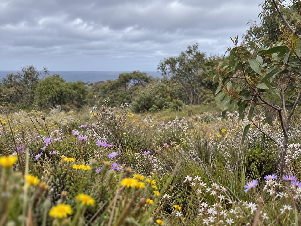 EasySpringtime Wildflower Experience2.5 km · 1 hr · 1.4 km awayAn easy heathland loop with spring orchids and a coastal outlook.
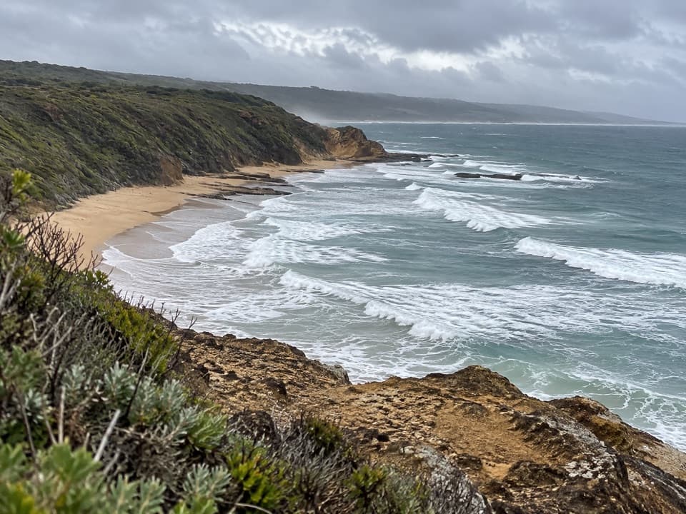 ModerateUrquhart Circuit4.5 km · 1.5 hr · 2.3 km awayRock bridges, low-tide beaches, and a boardwalk through coastal heath.
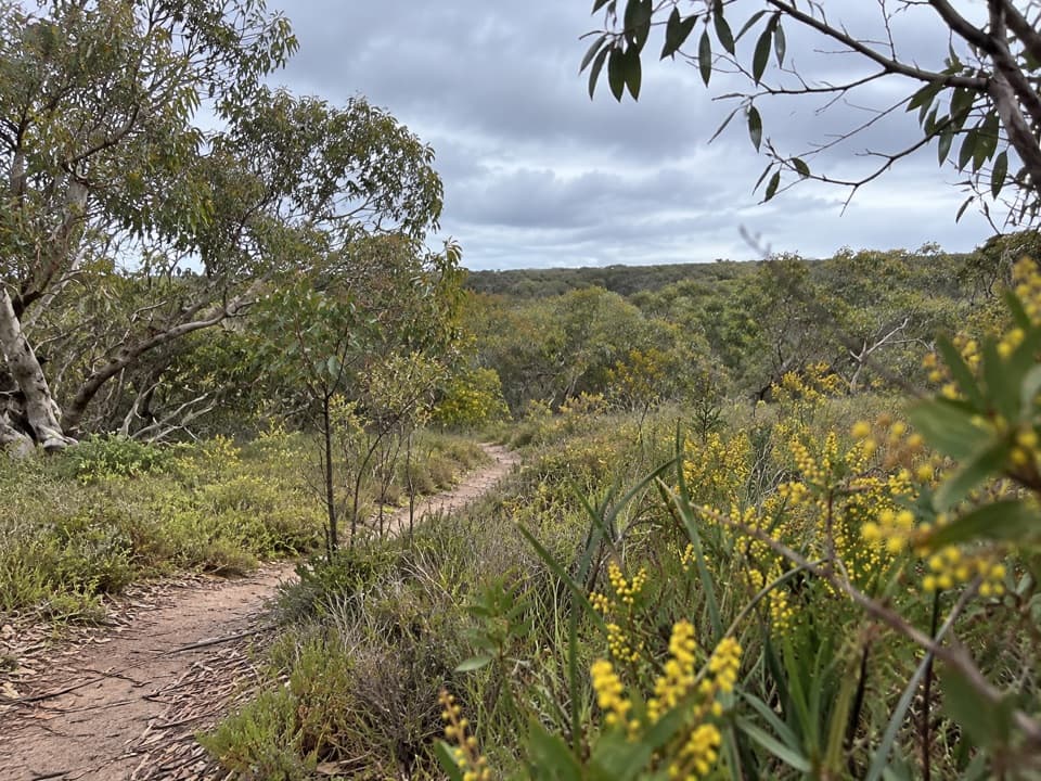 ModerateAnglesea Perimeter Walk22 km · 6.5 hr · 3.5 km awayA full-day circuit linking heath, wetlands and coast.ModerateAnglesea to Aireys Inlet Walk13.4 km · 4 hr · 3.7 km awaySand, scrub, old-road remnants and a lighthouse make a full coast day.
 EasyTed’s Ridge Track1.6 km · 45 min · 4.1 km awayA short heathland walk with a spring orchid payoff.
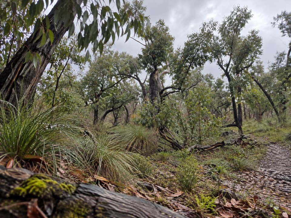 ModerateDistillery Creek – Ted’s Ridge Track Circuit4 km · 1.5 hr · 5 km awayA short woodland loop with coastal views, wattles and orchids.
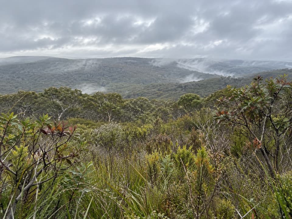 ModerateYan Wirring Mirr Loop4.5 km · 2 hr · 5.1 km awayHeath ridges, Salt Creek and coast views on a 4.5 km loop
 EasyAireys Inlet Woodland Circuit4.5 km · 1.5 hr · 5.5 km awayAn easy loop from fire-scarred ironbarks to a quieter creek.
 Beach · 2.3 km awayUrquhart BluffLong beach, bluffside surf and rockpools revealed at low tide.
 Beach · 4 km awaySunnymead BeachA quiet cove of reefs and rock pools, reached by steep steps.
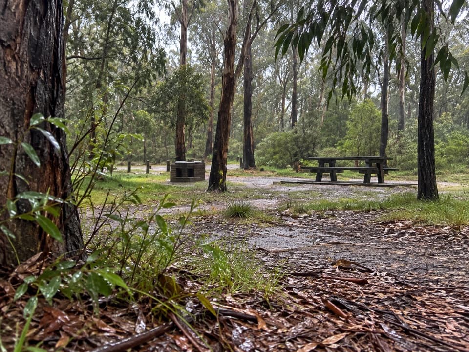 Picnic area · 5.6 km awayDistillery Creek Picnic AreaA picnic base for ironbark walks and the longer falls circuit.
 Sight · 5.9 km awayCurrawong FallsA long fern-gully circuit with a rain-fed waterfall.
Parkwolf’s Great Otway ranking

The audio tour guide for the drive, plus offline maps, trails, and wildlife heatmaps for when the signal drops.


