Point Addis Visitor Area in Great Otway National Park

Sight · Great Otway National Park

Point Addis Visitor Area

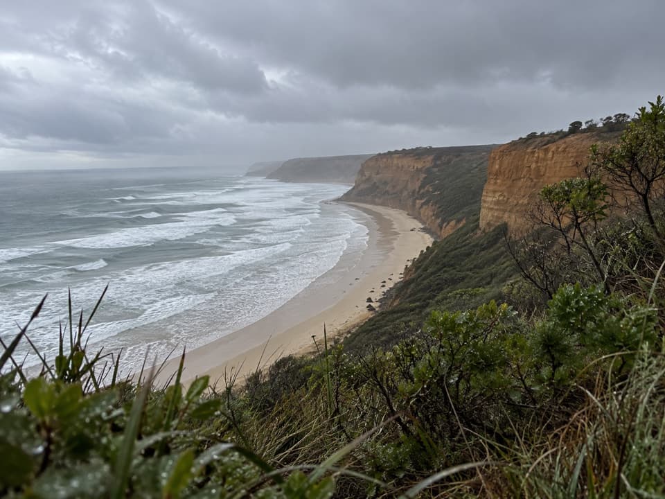
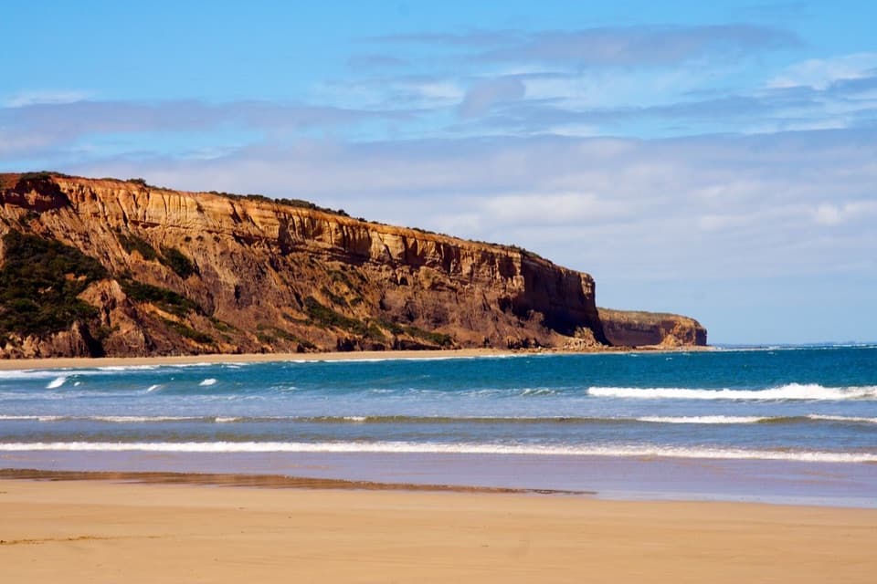
A clifftop boardwalk opens up Point Addis’s limestone coast.

Photo: Wikimedia Commons
Type
Sight
Nearest trail
0.1 km
Audio stories
3 nearby
  • Parking
  • Scenic viewpoint
  • Restrooms

Hear the audio tour

Point Addis: Coast from the Boardwalk

Overview

About Point Addis Visitor Area

Why stop

  • Several clifftop viewpoints show the coast from different angles.

Heads up

  • Summer weekends and holidays can bring very crowded parking.

Map

Where it is

Loading the Great Otway map
Full map
SightPoint Addis Visitor Area-38.39531, 144.25389
Keep this map with you offline in the Parkwolf app

Plan your stop

Before you go

3 active Great Otway alerts

  • ClosureWye Road closed after storm and flood damageWye Road is closed until further notice because recent storm and flood damage requires road maintenance and repair works; plan around the closure.Official details
  • ClosureLorne-area walking trails closed after flood damageSome walking trails near Lorne are closed for public safety after the January 2026 flash floods washed away or severely damaged bridges and walkways.Official details
See all 3 alerts
A park ranger sits on a dash-mounted phone, talking, as Parkwolf’s Tour Guide plays “Army Cutworm Moths: A Grizzly Bear Buffet” on Grand Loop Road below Dunraven Pass in Yellowstone
Parkwolf Tour GuideThe highest, rockiest slopes around here are a summer buffet for grizzly bears.

Great Otway Tour Guide

Your drive to Point Addis Visitor Area, narrated.

Parkwolf is a GPS audio tour guide for Great Otway National Park. As you drive, it chimes in with what’s ahead: hidden gems, upcoming stops, history, geology, and wildlife, right through your car’s speakers.

See the Great Otway audio tour

Recorded for this place

Point Addis: Coast from the Boardwalk
0:00 / 0:30
“Point Addis is coming up, with a boardwalk linking several lookouts above the surf and sandy cove.”

Plays as you drive up to Point Addis Visitor Area in the Parkwolf Great Otway Tour Guide.

More stories near here in the app

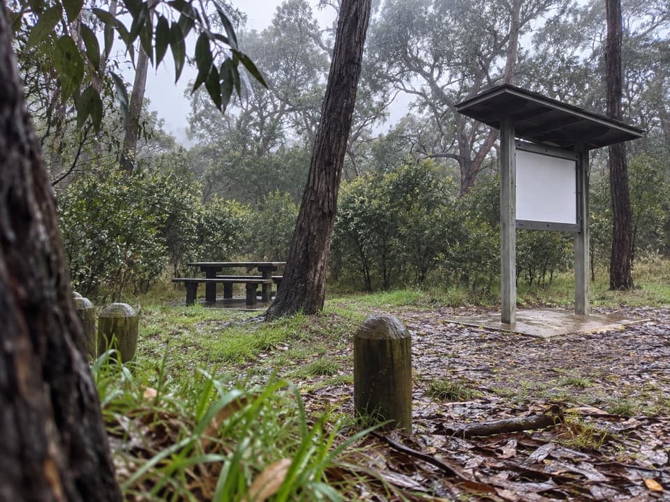
  • Ironbark Basin: A Woodland Picnic
  • Southside Beach: Below the Cliffs
  • The Robin That Watches from a Trunk
  • An Orchid with a Hinged Trap
  • 252 audio storiesacross Great Otway’s roads, triggered by GPS as you drive
  • Wildlife heatmapsfor Koala, Grey Kangaroo, Echidna, and 13 more
  • Works offlinemaps, 83 trails, 79 places, and audio download before you lose signal
  • CarPlay readysimple controls built for the drive
★★★★★
“Fantastic app with many points of information… It’s great to just turn on while you’re driving and it gives you an audio tour of the national Park. We love it!!!!”
JMJamesApp Store review
Download Parkwolf on the App StoreGet Parkwolf on Google Play

4.7 from 8,600+ ratings

Guide

More about Point Addis Visitor Area

The clifftop stopPoint Addis Visitor Area is a clifftop lookout complex on the Surf Coast between Torquay and…

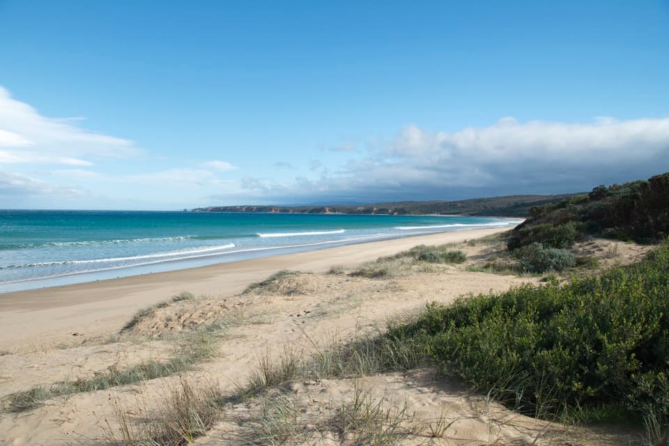
Point Addis Visitor Area is a clifftop lookout complex on the Surf Coast between Torquay and Anglesea, reached by Point Addis Road. A boardwalk links the car park with several viewpoints above limestone cliffs, a sandy cove and the open Southern Ocean. It's an easy stop for a broad coastal view; Addiscot Beach is a separate visit below the headland. Toilets are shown by the parking area, though their current condition is unclear. Summer weekends and holidays are the busiest times, when the car parks can get very crowded.

Take in the headlandThe viewpoints open onto different stretches of coast.

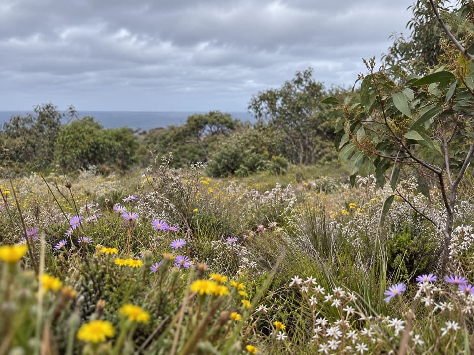
The viewpoints open onto different stretches of coast. From the lookout, the curved beach, surf and scrub-covered headland make a strong layered view. For a photo, keep some low coastal scrub in the foreground, then include the cove and cliff line to show the height of the lookout. The headland is exposed and can be windy.

If you go down to the waterAddiscot Beach is reached by walking down from the lookout.

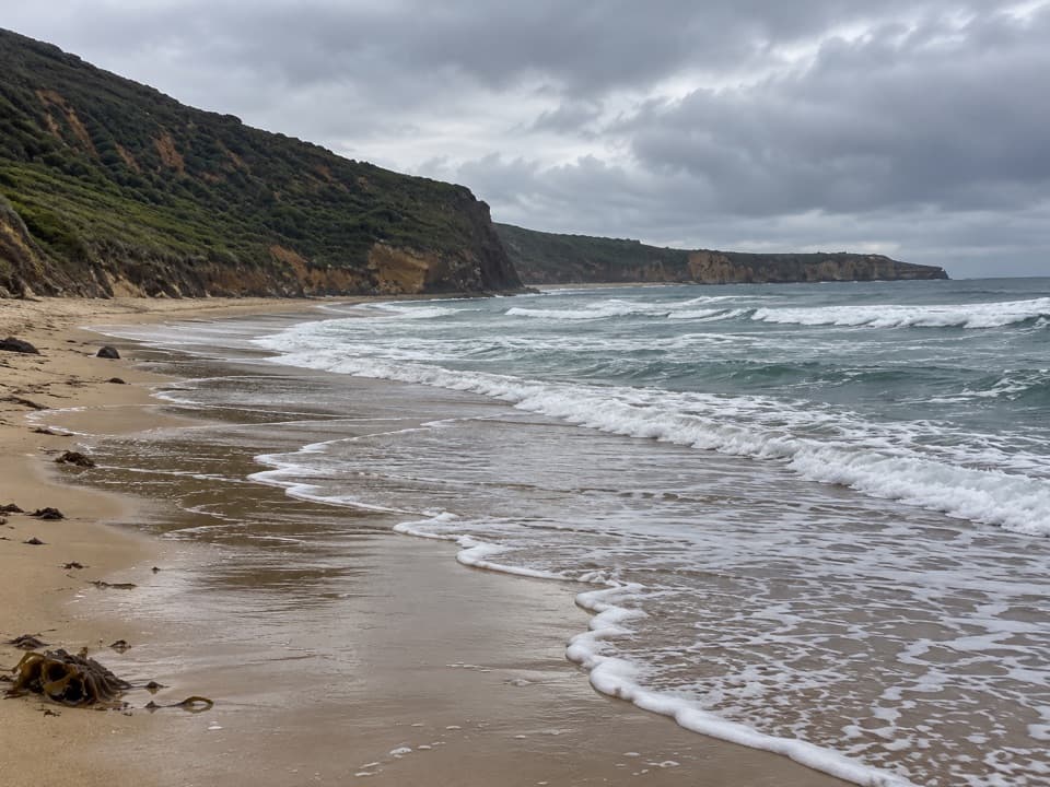
Addiscot Beach is reached by walking down from the lookout. Tide and swell matter: some shore points are impassable at high tide, and waves, currents and undertow make rocky platforms dangerous in rough conditions. Stay well back from cliff edges and their bases. The far eastern end of Addiscot Beach is designated as an optional-clothing area.

A high-energy marine coastThis shoreline meets Bass Strait, where strong south-westerly swells from the Southern Ocean…

This shoreline meets Bass Strait, where strong south-westerly swells from the Southern Ocean help make the coast popular with surfers. The wider marine park has wide sandy beaches, eroding limestone cliffs and intertidal rocky platforms. Offshore, calcarenite reefs support shallow kelp forests and deeper sponge gardens. Point Addis is also where mapping surveys first recorded Victoria's rhodolith beds: unattached calcareous nodules formed by coralline red algae.

Look for whales in winterThe lookouts are a good place to scan for migrating Southern Right Whales between May and…

The lookouts are a good place to scan for migrating Southern Right Whales between May and September. The wider marine park has also recorded Blue Whales, Killer Whales, Australian Fur Seals and 26 conservation-listed shore and sea bird species. Treat them as possible sightings, not a promise.

Wadawurrung Sea CountryPoint Addis lies on the traditional Sea Country of the Wadawurrung People, whose connection to…

Point Addis lies on the traditional Sea Country of the Wadawurrung People, whose connection to these lands and waters continues.

Wildlife

Wildlife in Great Otway

All Great Otway wildlife maps

Sighting maps show where each species has been reported across Great Otway. Wildlife moves, so no sighting is guaranteed.

Parkwolf’s Great Otway ranking

Top sights in Great Otway

All 79 places
  1. 1Cape Otway LightstationSight
  2. 2Erskine FallsSight
  3. 3Hopetoun FallsSight
  4. 4Triplet FallsSight
  5. 5Aire Valley RedwoodsSight
  6. 6Lake ElizabethSight

Take Parkwolf to Great Otway.

The audio tour guide for the drive, plus offline maps, trails, and wildlife heatmaps for when the signal drops.

4.7 from 8,600+ ratings

Download Parkwolf on the App StoreGet Parkwolf on Google Play