Parking
Use Point Addis car park off Point Addis Road. Walk back up the road past the toilet block to the coastal track access. Parking can be crowded on summer weekends and holidays.
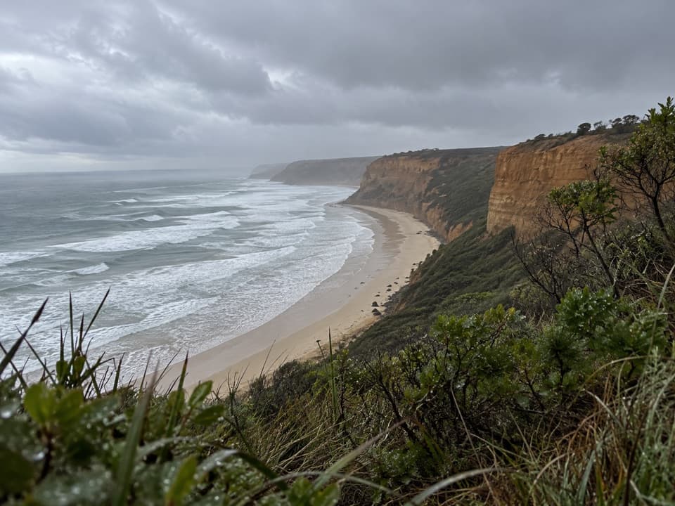
Great Otway National Park, VIC
Short interpretive walk to a lookout above Addiscot Beach
Overview
Map & elevation
Plan your hike

The highest, rockiest slopes around here are a summer buffet for grizzly bears.
Great Otway Tour Guide
Parkwolf is a GPS audio tour guide for Great Otway National Park. As you drive, it chimes in with what’s ahead: hidden gems, upcoming stops, history, geology, and wildlife, right through your car’s speakers.
See the Great Otway audio tourRecorded for this trailhead
Point Addis: Coast from the Boardwalk“Point Addis is coming up, with a boardwalk linking several lookouts above the surf and sandy cove.”
Plays as you drive up to this trailhead in the Parkwolf Great Otway Tour Guide.
More stories near here in the app
“Fantastic app with many points of information… It’s great to just turn on while you’re driving and it gives you an audio tour of the national Park. We love it!!!!”


Trail guide
This easy out-and-back follows Point Addis Road from the car park to the coastal track, then continues through heath to a lookout above Addiscot Beach. Follow the trail junctions to the short lookout spur and return the same way. It is a compact walk; allow about an hour to take in the view and any interpretation along the route.
The connected mapped corridor measures about 530 m one way, or roughly 1.1 km for the return walk. Published figures conflict: a park plan gives 2 km return, while a regional listing gives 1 km without saying whether that is one way or round trip. Treat the stored distance as approximate and check local wayfinding at the start.
The short route is valued for its Koorie cultural interpretation on Wadawurrung Country. Take time with the on-site interpretation and the coastal heath setting; the interpretive experience is central to this walk.
Expect an unpaved track, junctions and some steps or short climbs. Toilets are near the access road. Dogs are permitted on lead in the visitor area and on this section of the coastal walk. Point Addis car parks can be crowded on summer weekends and holidays.
The route overlooks steep coastal cliffs. Stay on the track and well back from exposed edges; the walk does not require going down to the beach.
Wildlife
 204 sightingsKoalaMost seen around 6 PMSighting map
 35 sightingsGrey KangarooMost seen around 6 AMSighting map
 109 sightingsEchidnaMost seen around 5 PMSighting map
 58 sightingsKookaburraMost seen around 6 AMSighting map
 97 sightingsSwamp WallabyMost seen around 6 PMSighting map
 20 sightingsBrushtail PossumMost seen around 8 PMSighting map
Sighting maps show where each species has been reported across Great Otway. Wildlife moves, so no sighting is guaranteed.
Keep exploring
 ModeratePoint Addis to Red Rocks Walk2.9 km · 1 hr · At the trailheadA beach-to-cliff coastal walk from Point Addis to Red Rocks.
 ModeratePoint Addis and Bells Beach Loop14.5 km · 4 hr · At the trailheadFrom forest to Bells Beach, finish along sand at low tide
 ModerateRed Rocks to Anglesea Walk5.1 km · 1.8 hr · 1.3 km awayCliff-top heath and surf, with steps up from Red Rocks.
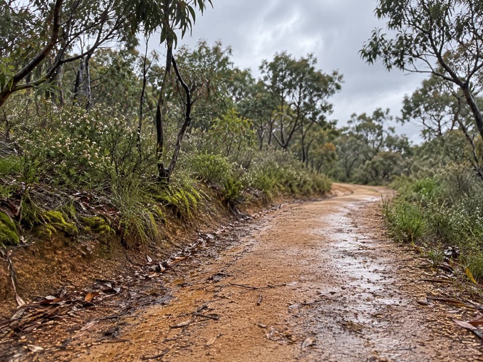 ModerateShiney Eye Circuit9.3 km · 3.5 hr · 5.6 km awayHeathland flowers and Anglesea views, with a steep finish
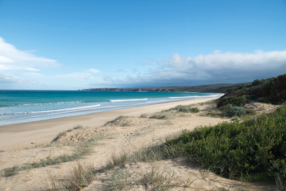 ModerateAnglesea to Aireys Inlet Walk13.4 km · 4 hr · 5.9 km awaySand, scrub, old-road remnants and a lighthouse make a full coast day.
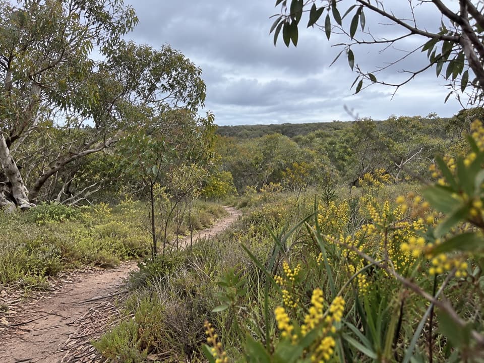 ModerateAnglesea Perimeter Walk22 km · 6.5 hr · 5.9 km awayA full-day circuit linking heath, wetlands and coast.
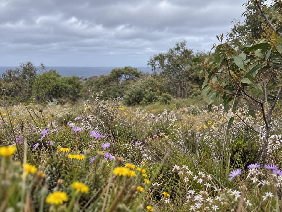 EasySpringtime Wildflower Experience2.5 km · 1 hr · 7.9 km awayAn easy heathland loop with spring orchids and a coastal outlook.
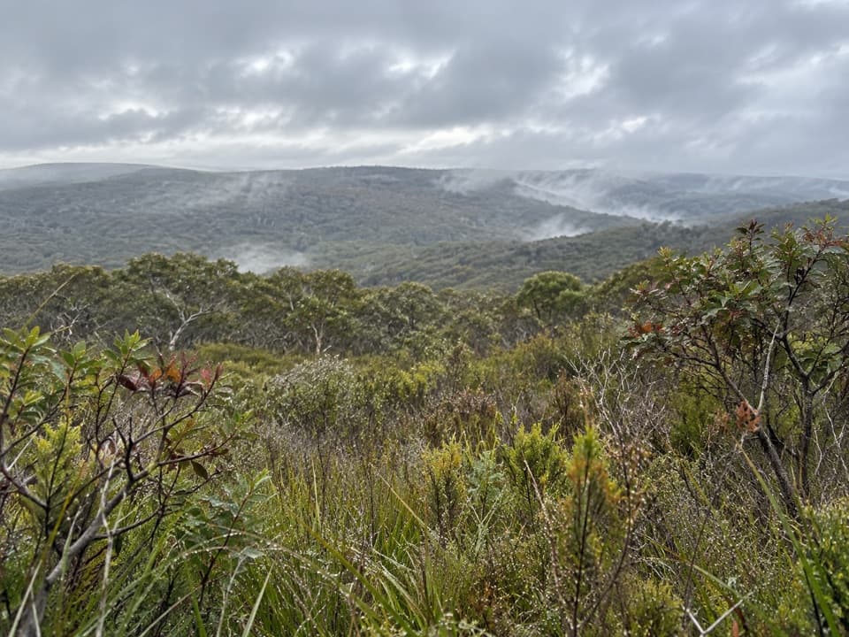 ModerateYan Wirring Mirr Loop4.5 km · 2 hr · 9.4 km awayHeath ridges, Salt Creek and coast views on a 4.5 km loopSight · 0.1 km awayPoint Addis Visitor AreaA clifftop boardwalk opens up Point Addis’s limestone coast.
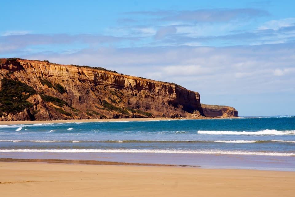 Beach · 2.3 km awayAddiscot BeachA long curve of sand beneath red cliffs and low-tide rockpools.
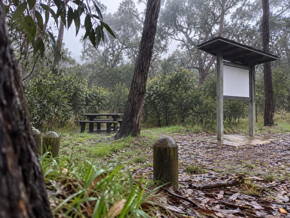 Picnic area · 2.4 km awayIronbark Basin Picnic AreaA picnic break with a short loop into ironbark woodland.
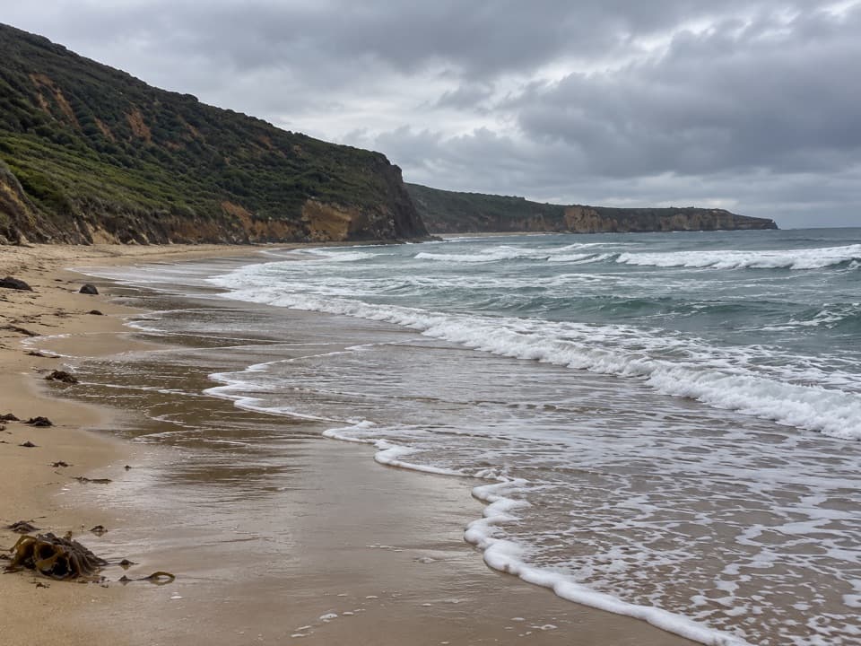 Beach · 2.7 km awaySouthside BeachCliff-backed surf and a marked clothing-optional stretchBeach · 9.2 km awayGuvvos BeachA long, open stretch of sand with a lookout above the surf.
 Beach · 11.5 km awayUrquhart BluffLong beach, bluffside surf and rockpools revealed at low tide.
 Beach · 13.1 km awaySunnymead BeachA quiet cove of reefs and rock pools, reached by steep steps.
 Sight · 14.6 km awayCurrawong FallsA long fern-gully circuit with a rain-fed waterfall.
Parkwolf’s Great Otway ranking

The audio tour guide for the drive, plus offline maps, trails, and wildlife heatmaps for when the signal drops.





