Parking
Use the Point Addis car park at the end of Point Addis Road. The circuit walks back up the road to the Koorie Cultural Walk access and returns along it; toilets are near that access.

Great Otway National Park, VIC
From forest to Bells Beach, finish along sand at low tide
Overview
Map & elevation
Plan your hike

The highest, rockiest slopes around here are a summer buffet for grizzly bears.
Great Otway Tour Guide
Parkwolf is a GPS audio tour guide for Great Otway National Park. As you drive, it chimes in with what’s ahead: hidden gems, upcoming stops, history, geology, and wildlife, right through your car’s speakers.
See the Great Otway audio tourRecorded for this trailhead
Point Addis: Coast from the Boardwalk“Point Addis is coming up, with a boardwalk linking several lookouts above the surf and sandy cove.”
Plays as you drive up to this trailhead in the Parkwolf Great Otway Tour Guide.
More stories near here in the app
“Fantastic app with many points of information… It’s great to just turn on while you’re driving and it gives you an audio tour of the national Park. We love it!!!!”


Trail guide
This loop starts at the Point Addis car park at the end of Point Addis Road, climbs to the Koorie Cultural Walk, crosses Ironbark Basin and follows Jarosite Track to Bells Beach, then returns by Southside and Addiscot beaches. The complete mapped route is about 14.5 km (9 mi); allow around four hours for short steep hills, steps, formed track and sand. The figure includes walking back from Bells Beach to Southside and the Point Addis Road access in both directions. Some published loop estimates are around 11 km; plan for the mapped distance.
The beach return is passable only about 2–3 hours either side of low tide. Check the tide before choosing a start time. If the low tide window comes first, start at Southside and walk the beach toward Point Addis before completing the inland route and Bells Beach.
From Point Addis, walk back up the road to the Koorie Cultural Walk and its timber viewing platforms. Heathland track drops into Ironbark Basin, with short steep rises and steps along the way. At the junction near the dam, take the branch signed for the Surf Coast Walk.
Jarosite Track passes through grass trees and stringybark forest near the old Red Ochre Mine, then leads downhill toward Southside. Cross the Southside entrance road for the formed path, stairs and bridge to Bells Beach, then retrace that stretch to Southside. Bells hosts the annual Rip Curl Pro, a major surf competition held here since 1961.
From Southside, take the concrete beach access and walk the sand beneath Jarosite Headland and along Addiscot Beach to Point Addis. Cliff edges and their bases are unstable, especially after storms or high tides; keep well clear. Clothing is optional at the eastern end of Addiscot Beach.
The Koorie Cultural Walk is on Wadawurrung Country. Its signs share information about cultural practices, plants and animals. Grass trees are common in the basin; orchids, echidnas and reptiles may be seen, though sightings are never assured. Point Addis lookouts are a good place to scan for whales from May to September. Ironbark Basin Lookout faces a coast where 19 ships were lost.
A toilet block is on Point Addis Road near the upper trail access; no food or drinking-water stop along the route was identified. Dogs are prohibited on the national park sections; leashed dogs are allowed only in the Addiscot Beach day visitor area.
Wildlife
 204 sightingsKoalaMost seen around 6 PMSighting map
 35 sightingsGrey KangarooMost seen around 6 AMSighting map
 109 sightingsEchidnaMost seen around 5 PMSighting map
 58 sightingsKookaburraMost seen around 6 AMSighting map
 97 sightingsSwamp WallabyMost seen around 6 PMSighting map
 20 sightingsBrushtail PossumMost seen around 8 PMSighting map
Sighting maps show where each species has been reported across Great Otway. Wildlife moves, so no sighting is guaranteed.
Keep exploring
 ModeratePoint Addis to Red Rocks Walk2.9 km · 1 hr · At the trailheadA beach-to-cliff coastal walk from Point Addis to Red Rocks.
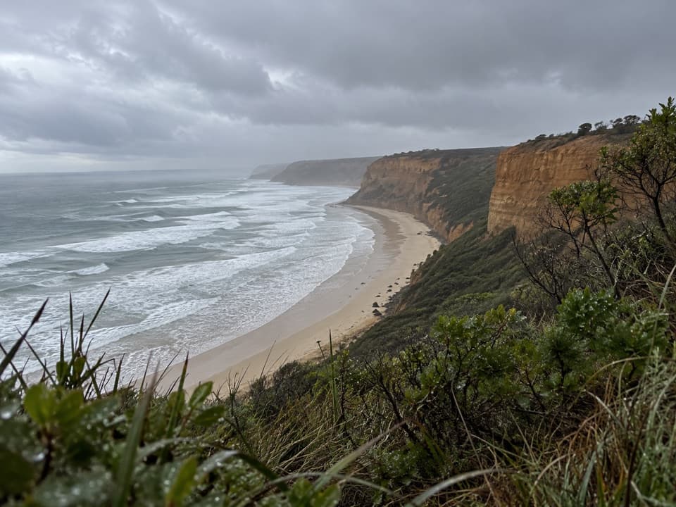 EasyKoorie Cultural Walk1.1 km · 1 hr · At the trailheadShort interpretive walk to a lookout above Addiscot Beach
 ModerateRed Rocks to Anglesea Walk5.1 km · 1.8 hr · 1.3 km awayCliff-top heath and surf, with steps up from Red Rocks.
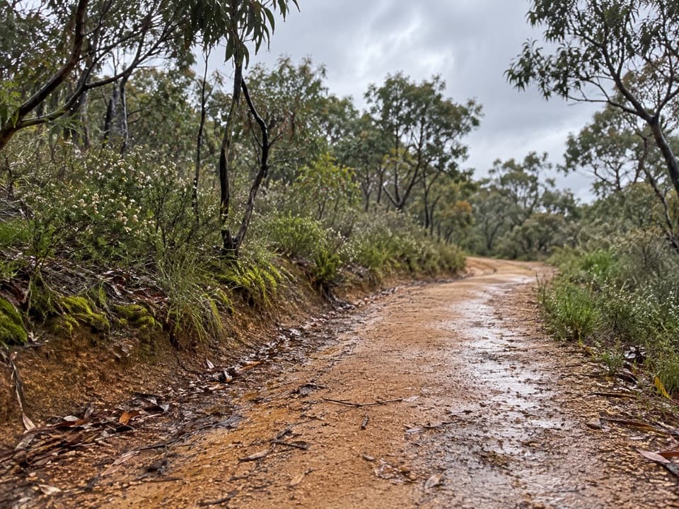 ModerateShiney Eye Circuit9.3 km · 3.5 hr · 5.6 km awayHeathland flowers and Anglesea views, with a steep finish
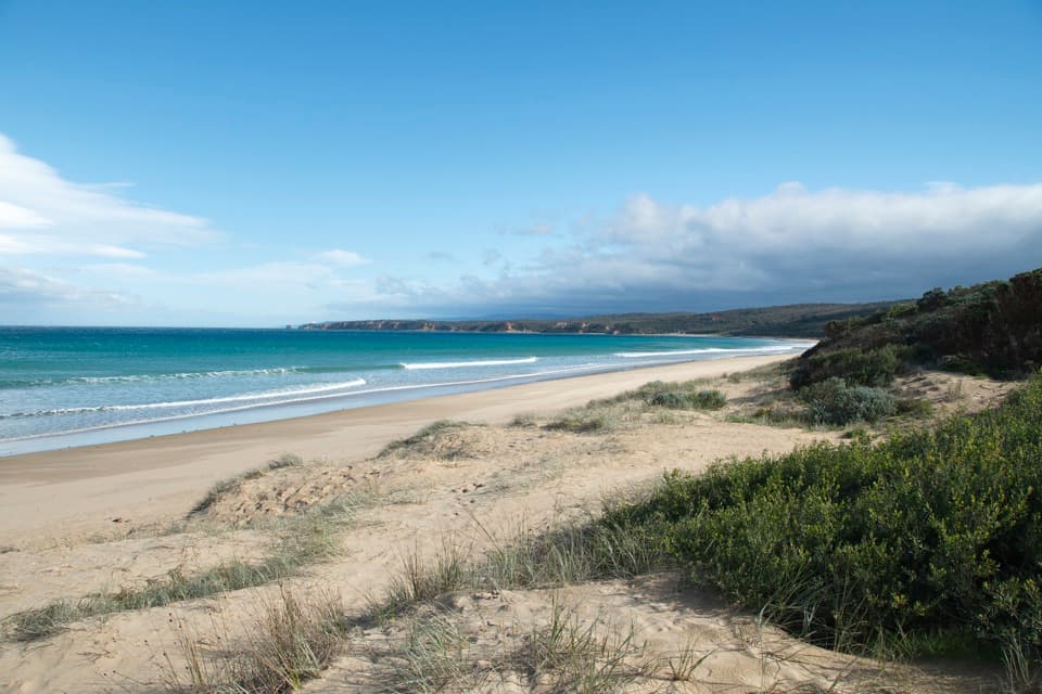 ModerateAnglesea to Aireys Inlet Walk13.4 km · 4 hr · 5.9 km awaySand, scrub, old-road remnants and a lighthouse make a full coast day.
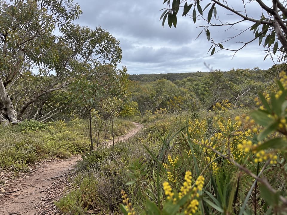 ModerateAnglesea Perimeter Walk22 km · 6.5 hr · 6 km awayA full-day circuit linking heath, wetlands and coast.
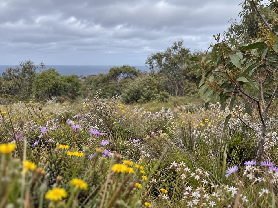 EasySpringtime Wildflower Experience2.5 km · 1 hr · 7.9 km awayAn easy heathland loop with spring orchids and a coastal outlook.
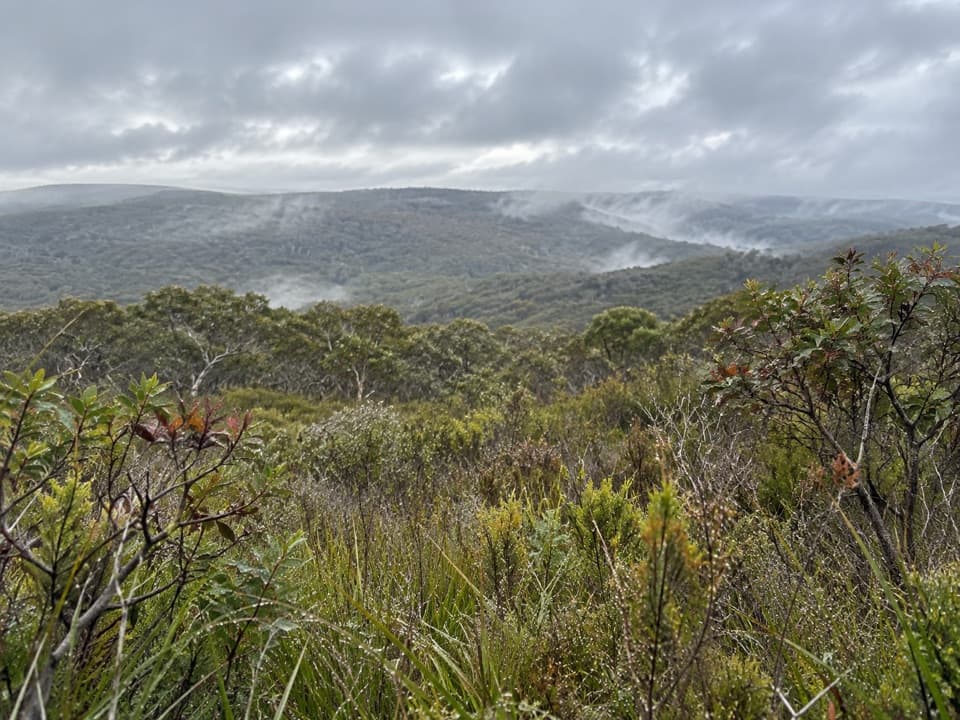 ModerateYan Wirring Mirr Loop4.5 km · 2 hr · 9.4 km awayHeath ridges, Salt Creek and coast views on a 4.5 km loopSight · 0.1 km awayPoint Addis Visitor AreaA clifftop boardwalk opens up Point Addis’s limestone coast.
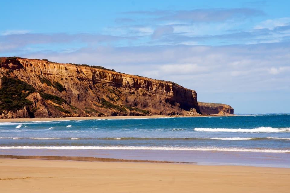 Beach · 2.3 km awayAddiscot BeachA long curve of sand beneath red cliffs and low-tide rockpools.
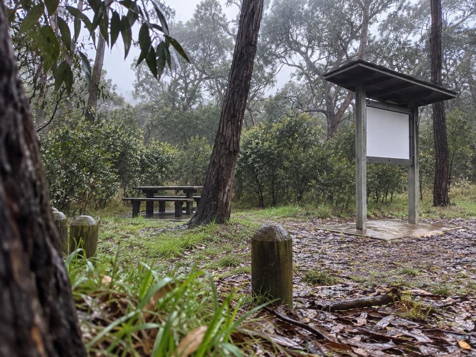 Picnic area · 2.4 km awayIronbark Basin Picnic AreaA picnic break with a short loop into ironbark woodland.
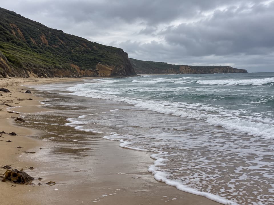 Beach · 2.7 km awaySouthside BeachCliff-backed surf and a marked clothing-optional stretchBeach · 9.3 km awayGuvvos BeachA long, open stretch of sand with a lookout above the surf.
 Beach · 11.6 km awayUrquhart BluffLong beach, bluffside surf and rockpools revealed at low tide.
 Beach · 13.2 km awaySunnymead BeachA quiet cove of reefs and rock pools, reached by steep steps.
 Sight · 14.6 km awayCurrawong FallsA long fern-gully circuit with a rain-fed waterfall.
Parkwolf’s Great Otway ranking

The audio tour guide for the drive, plus offline maps, trails, and wildlife heatmaps for when the signal drops.





