Parking
The route starts and finishes at Anglesea Visitor Information Centre, which is marked for parking. The map also marks parking at Point Roadknight and other access points; capacity, fees and hours were not confirmed.
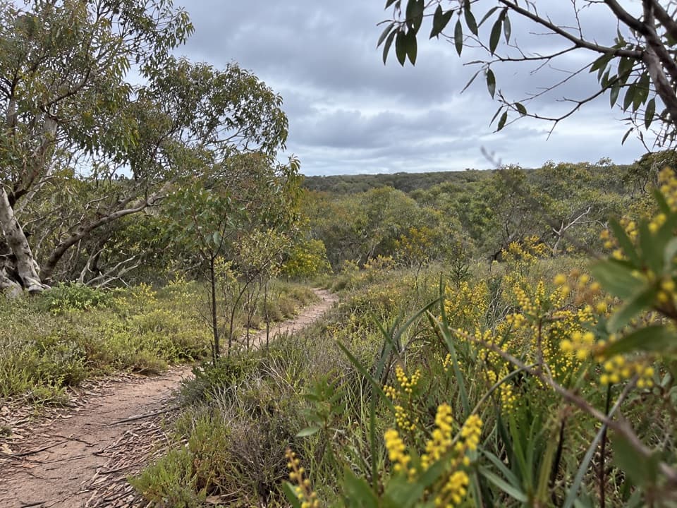
Great Otway National Park, VIC
A full-day circuit linking heath, wetlands and coast.
Overview
Map & elevation
Plan your hike

The highest, rockiest slopes around here are a summer buffet for grizzly bears.
Great Otway Tour Guide
Parkwolf is a GPS audio tour guide for Great Otway National Park. As you drive, it chimes in with what’s ahead: hidden gems, upcoming stops, history, geology, and wildlife, right through your car’s speakers.
See the Great Otway audio tourRecorded for this trailhead
Anglesea: The Coastal Walk to Aireys Inlet“Up ahead is Anglesea Visitor Information Centre, a starting point for the coastal walk to Aireys Inlet.”
Plays as you drive up to this trailhead in the Parkwolf Great Otway Tour Guide.
More stories near here in the app
“Fantastic app with many points of information… It’s great to just turn on while you’re driving and it gives you an audio tour of the national Park. We love it!!!!”


Trail guide
Anglesea Perimeter Walk is a signed 22 km loop from the Anglesea Visitor Information Centre, circling town through coastal paths and Great Otway National Park. Allow six to seven hours for the full circuit; the route is described as two roughly 11 km loops, so you can choose a half-day option instead. This is a mixed town, coastal and park walk, not a route wholly inside the national park. The brochure gives a schematic map rather than a GPS track: the app line is an approximate tracing and measures about 23.5 km. Follow the waymarkers and check the printed route at junctions.
Expect a changing surface: gravel paths, firebreaks, bush tracks and some rough 4WD tracks. The coastal half follows cliff-top paths before turning inland, while the western leg passes through Anglesea's heath and woodland and climbs toward Mount Ingolsby. Some stretches are deeply rutted, and the sticky clay can be slippery when wet. Great Ocean Road crossings can have heavy traffic. On the western leg, the map's walking line beside the former mine boundary is approximate; confirm the signed footpath there rather than assuming the road is the route.
Coogoorah Park's footbridges and boardwalks cross wetlands and small islands, a good place to slow down and watch for birds. Elsewhere, the walk protects remnant heath and heathy woodland. Late winter and spring bring the strongest flower displays, including orchids in the heath; the exact show changes year to year. Keep to the marked track and clean footwear before walking to help limit the spread of plant pathogens.
Mount Ingolsby, the walk's high point at about 121 m, gives a break spot looking over surrounding hills and the mine rehabilitation area. Don's Track has several seats with views toward Anglesea's sports fields and coast. The route was established in 2010 to give walkers a car-free way to experience the area's heath and woodland, following local naturalist Don Hutton's advocacy and community fundraising after his death.
The Visitor Information Centre is the most practical start and finish; parking is marked there, though capacity, fees and hours aren't confirmed. Coogoorah Park has picnic facilities and toilets. Older route notes say there is no water along the walk, so fill up in town. Dogs must be on lead inside the national park; rules for the town and coastal portions of this multi-owner route weren't confirmed.
Wildlife
 204 sightingsKoalaMost seen around 6 PMSighting map
 35 sightingsGrey KangarooMost seen around 6 AMSighting map
 109 sightingsEchidnaMost seen around 5 PMSighting map
 58 sightingsKookaburraMost seen around 6 AMSighting map
 97 sightingsSwamp WallabyMost seen around 6 PMSighting map
 20 sightingsBrushtail PossumMost seen around 8 PMSighting map
Sighting maps show where each species has been reported across Great Otway. Wildlife moves, so no sighting is guaranteed.
Keep exploring
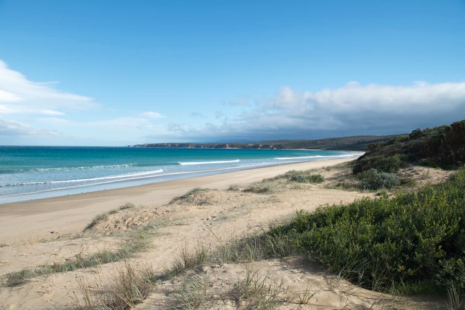 ModerateAnglesea to Aireys Inlet Walk13.4 km · 4 hr · 0.4 km awaySand, scrub, old-road remnants and a lighthouse make a full coast day.
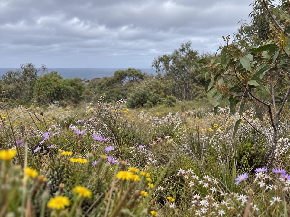 EasySpringtime Wildflower Experience2.5 km · 1 hr · 2.1 km awayAn easy heathland loop with spring orchids and a coastal outlook.
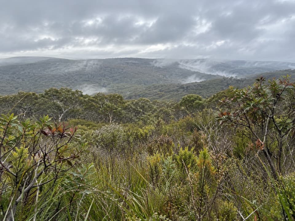 ModerateYan Wirring Mirr Loop4.5 km · 2 hr · 4.6 km awayHeath ridges, Salt Creek and coast views on a 4.5 km loop
 ModerateRed Rocks to Anglesea Walk5.1 km · 1.8 hr · 4.7 km awayCliff-top heath and surf, with steps up from Red Rocks.
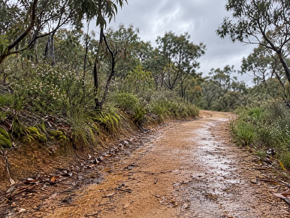 ModerateShiney Eye Circuit9.3 km · 3.5 hr · 5.2 km awayHeathland flowers and Anglesea views, with a steep finish
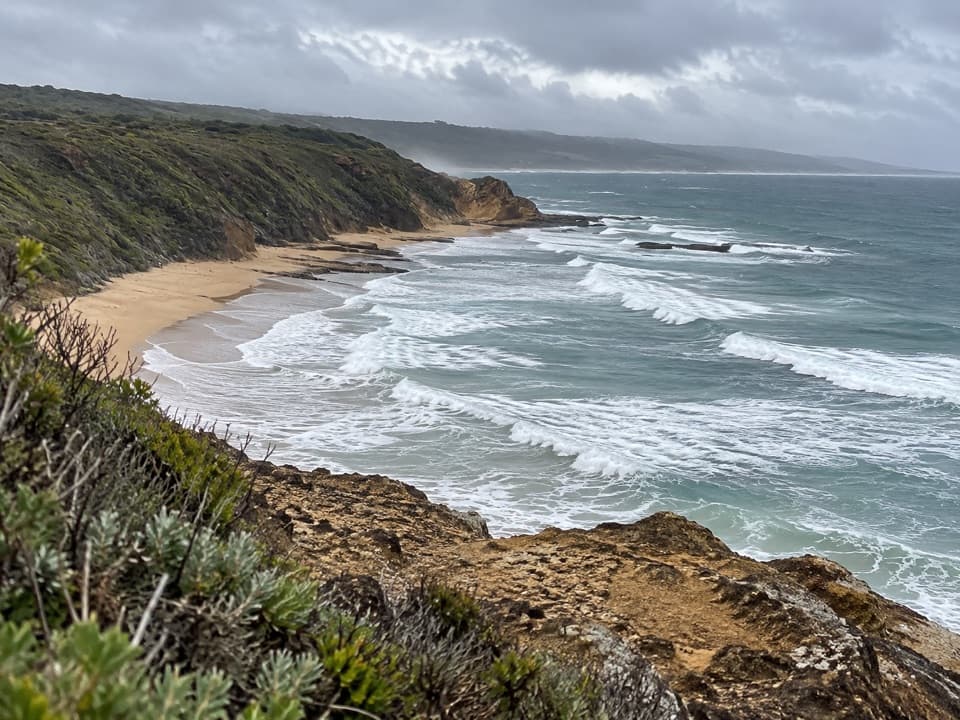 ModerateUrquhart Circuit4.5 km · 1.5 hr · 5.7 km awayRock bridges, low-tide beaches, and a boardwalk through coastal heath.
 ModeratePoint Addis to Red Rocks Walk2.9 km · 1 hr · 5.9 km awayA beach-to-cliff coastal walk from Point Addis to Red Rocks.
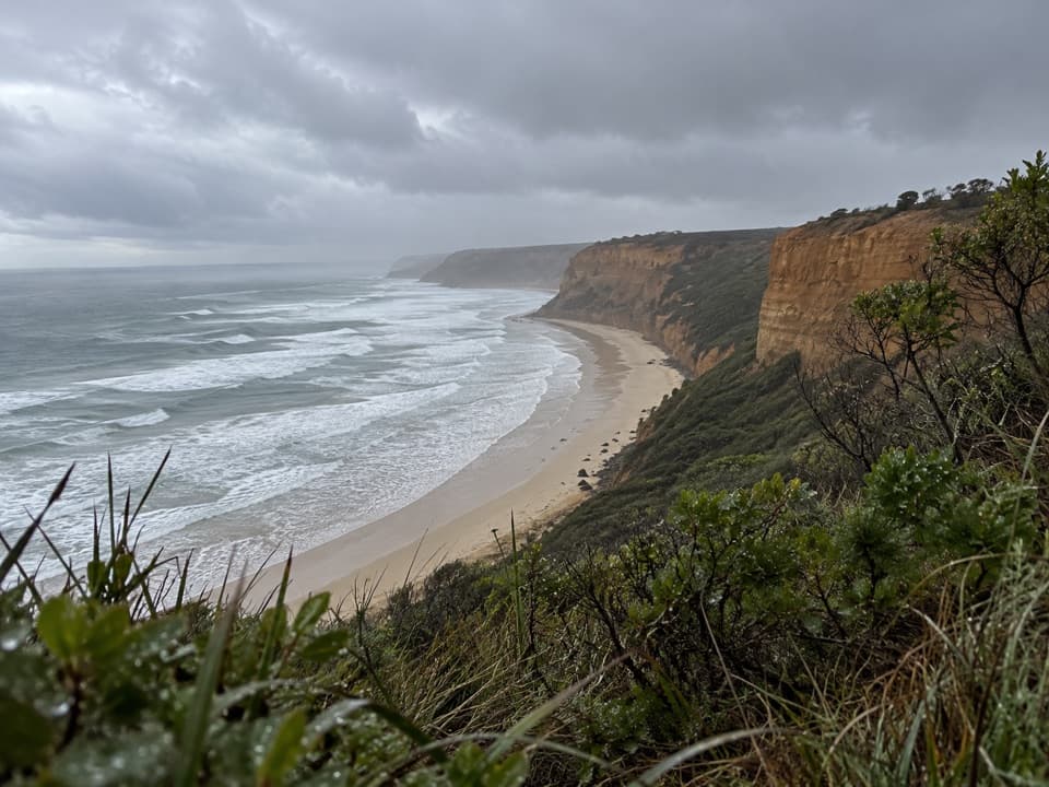 EasyKoorie Cultural Walk1.1 km · 1 hr · 5.9 km awayShort interpretive walk to a lookout above Addiscot BeachBeach · 3.5 km awayGuvvos BeachA long, open stretch of sand with a lookout above the surf.
 Beach · 5.7 km awayUrquhart BluffLong beach, bluffside surf and rockpools revealed at low tide.
 Sight · 6.1 km awayPoint Addis Visitor AreaA clifftop boardwalk opens up Point Addis’s limestone coast.
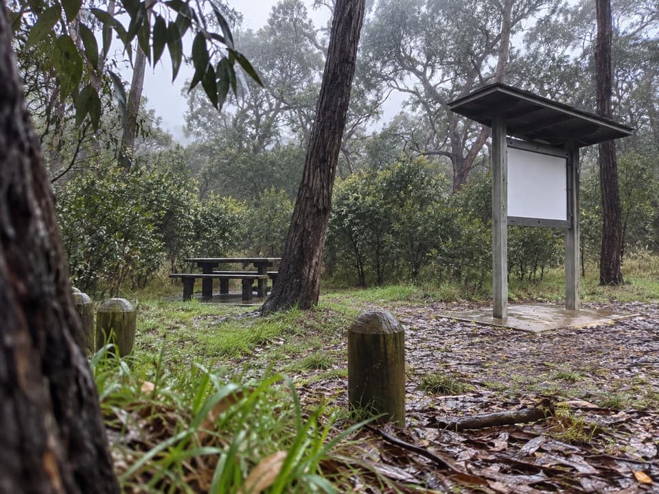 Picnic area · 6.5 km awayIronbark Basin Picnic AreaA picnic break with a short loop into ironbark woodland.
 Beach · 7.4 km awaySunnymead BeachA quiet cove of reefs and rock pools, reached by steep steps.
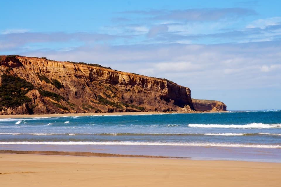 Beach · 8 km awayAddiscot BeachA long curve of sand beneath red cliffs and low-tide rockpools.
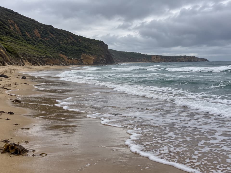 Beach · 8.4 km awaySouthside BeachCliff-backed surf and a marked clothing-optional stretch
 Sight · 8.7 km awayCurrawong FallsA long fern-gully circuit with a rain-fed waterfall.
Parkwolf’s Great Otway ranking

The audio tour guide for the drive, plus offline maps, trails, and wildlife heatmaps for when the signal drops.





