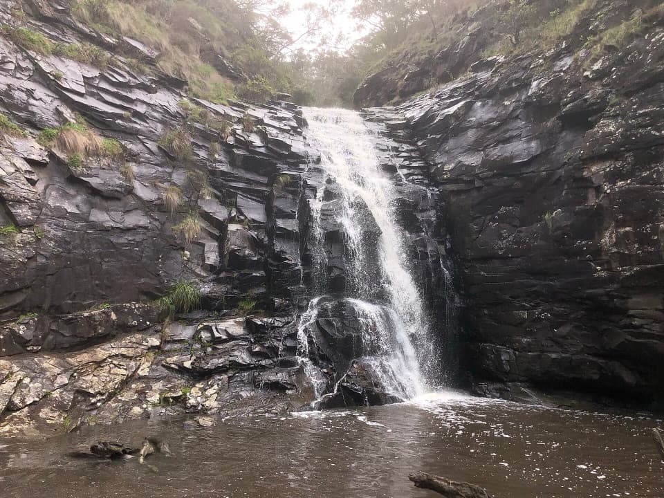
Parking
Start from the Triplet Falls Picnic Area car park on Phillips Track. Parking size and fee details were not found.

#3 of 83 trails in Great Otway
Great Otway National Park, VIC
Raised platforms reveal three cascades in mountain ash rainforest.
Overview
Map & elevation
Plan your hike

The highest, rockiest slopes around here are a summer buffet for grizzly bears.
Great Otway Tour Guide
Parkwolf is a GPS audio tour guide for Great Otway National Park. As you drive, it chimes in with what’s ahead: hidden gems, upcoming stops, history, geology, and wildlife, right through your car’s speakers.
See the Great Otway audio tourRecorded for this trailhead
Triplet Falls and the Old Mill“You’re nearing the Triplet Falls walking access, where a rainforest circuit reaches platforms above three cascades. Allow about an hour for the two-kilometre loop, with a steep, stepped descent before the easier return.”
Plays as you drive up to this trailhead in the Parkwolf Great Otway Tour Guide.
More stories near here in the app
“Fantastic app with many points of information… It’s great to just turn on while you’re driving and it gives you an audio tour of the national Park. We love it!!!!”


Trail guide
Triplet Falls Walk is a full 1.8 km (about 1.1-mile) circuit from the Triplet Falls Picnic Area; visitor information rounds it to 2 km. Allow about an hour, or 45–60 minutes if you move steadily and keep stops short. The track winds through tree-fern rainforest on raised walkways to platforms above the lower and upper cascades, then closes back at the car park. It is short, but moderate in feel: the route makes a long, many-stepped descent toward the falls before an easier return. Take your time on the steps and leave time for the platforms and forest signs. The changing grade and stair count matter more than the distance suggests, especially if your knees are sensitive.
Triplet Falls forms on Youngs Creek, which drops over rock ledges in three cascades. You view the water from elevated platforms; this is not a walk down to a pool at the base. Vegetation can partly screen the lower viewpoints, and visitors often find the last platform gives the clearest look, though each angle catches a different part of the drops. You may hear the creek before the platforms open a view through the ferns. For a photo, frame the falling water with tree ferns from one of the platforms. The flow is usually more impressive after rain.
This circuit passes a former timber-mill site. Old log carts and other mill artefacts still line the track, and interpretive signs tell the story of the rainforest. They make the loop more than a short approach to a waterfall: pause to look at the equipment and how it sits among the trees. Giant Mountain Ash grow around the picnic area; some are more than 200 years old. The signs and relics are easy to pass when focused on the sound of water, so leave a little time for them on the return.
Youngs Creek flows from Weeaproinah, which receives almost two metres of average annual rain. That wet setting helps explain the cool, fern-rich forest and why the cascades carry more water after rain. Mosses and fungi on the forest floor help maintain the rainforest, so stay on the formed path around the platforms and steps. The picnic area provides habitat for Powerful Owls, Yellow-bellied Gliders and Golden Whistlers; watch or listen for them, but treat sightings as a bonus.
Little Aire Falls Walk is a separate extension from the Triplet Falls track, along an old logging winch line through rainforest to an eight-metre viewing platform. It is listed as a 2.5 km return walk taking about 2.5 hours, making it a substantially longer outing than this short circuit. It is not part of Triplet Falls Walk or its distance; choose it only if you are ready for the extra time and effort.
Start at the Triplet Falls Picnic Area car park on Phillips Track. The stair-heavy descent and uneven ground can be slippery, so take care on the steps. Falling limbs and snakes are also local hazards. Dogs are not permitted in the national park.
Wildlife
 204 sightingsKoalaMost seen around 6 PMSighting map
 35 sightingsGrey KangarooMost seen around 6 AMSighting map
 109 sightingsEchidnaMost seen around 5 PMSighting map
 58 sightingsKookaburraMost seen around 6 AMSighting map
 97 sightingsSwamp WallabyMost seen around 6 PMSighting map
 20 sightingsBrushtail PossumMost seen around 8 PMSighting map
Sighting maps show where each species has been reported across Great Otway. Wildlife moves, so no sighting is guaranteed.
Keep exploring
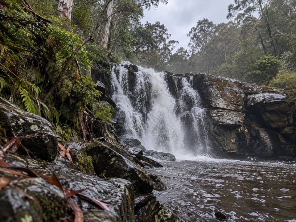 ModerateLittle Aire Falls Walk5.1 km · 2.5 hr · At the trailheadA rainforest hike to a high platform above the falls.
 ModerateHopetoun Falls Walk0.8 km · 35 min · 6.3 km awayTwo hundred steps through tree ferns to a 30-metre waterfall.
 EasyMaits Rest Rainforest Walk0.8 km · 30 min · 10.8 km awayA brief 800-metre loop through giant beech and tree ferns.
 ModerateMadsen’s Track Nature Walk1.4 km · 35 min · 11.3 km awayA ferny rainforest circuit past Anne’s Cascades and the Big Tree.
 ModerateCastle Cove to Johanna Beach6.3 km · 2.5 hr · 13.7 km awayClifftop heath gives way to Johanna’s tide-dependent beach finish.
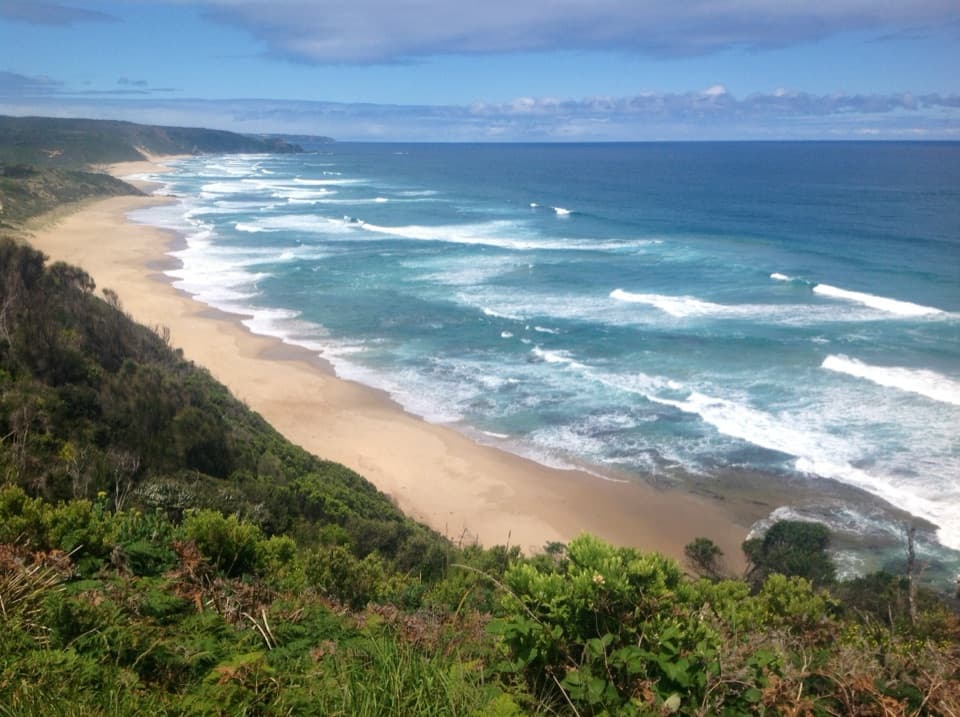 ModerateJohanna Beach to Milanesia Beach10.4 km · 3.5 hr · 14.3 km awayA hilltop sea view and a remote beach reached on foot.ChallengingJohanna Beach to Ryans Den14 km · 5.5 hr · 14.3 km awayA long coastal traverse with a river lookout and hike-in finish.ModerateAire River to Johanna Beach14 km · 5.3 hr · 14.7 km awayCliff views, Castle Cove fossils and a beach finish.
 Sight · 0.2 km awayTriplet FallsThree cascades and 200-year-old Mountain Ash on a rainforest loop.
 Sight · 1.4 km awayLittle Aire FallsA ferny rainforest walk ends above a waterfall and valley.
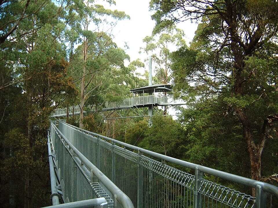 Sight · 2.3 km awayOtway Fly Treetop AdventuresA canopy walk that climbs to a tower and a cantilever.
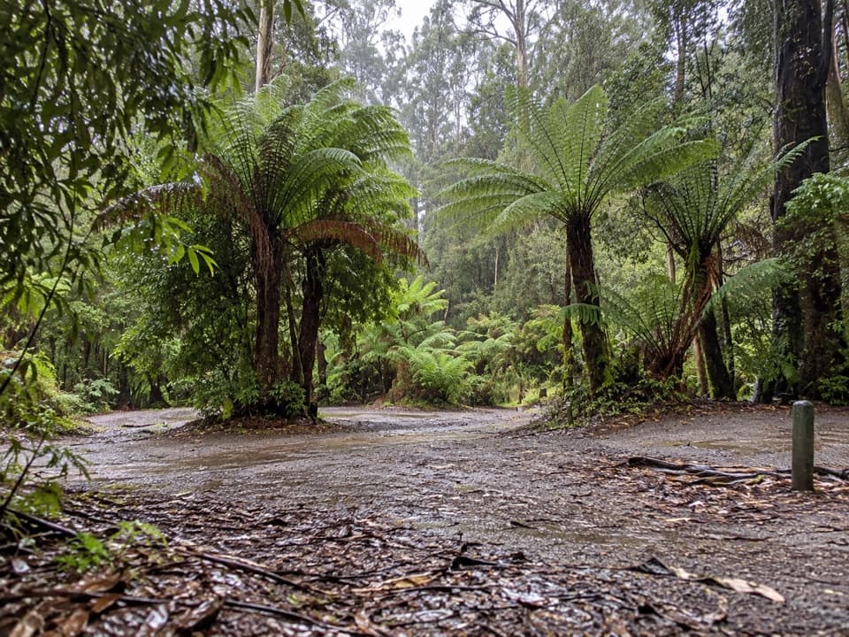 Campground · 3.9 km awayAire Crossing CampgroundFive first-come sites beside the river in ferny rainforest.
 Sight · 6.4 km awayHopetoun FallsA tree-fern waterfall with about 200 stairs to the lower view.
 Sight · 7.3 km awayAire Valley RedwoodsWalk beneath towering trunks in a quiet, riverside redwood grove.
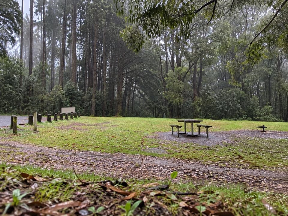 Campground · 9.9 km awayBeauchamp Falls CampgroundFree rainforest camping, with the waterfall walk starting from camp.
 Sight · 10.4 km awayBeauchamp FallsA fern-framed 20-metre fall worth the uphill walk back.
Parkwolf’s Great Otway ranking

The audio tour guide for the drive, plus offline maps, trails, and wildlife heatmaps for when the signal drops.