Marengo to Shelly Beach Walk in Great Otway National Park

Great Otway National Park, VIC

Marengo to Shelly Beach Walk

Walk from Marengo Beacon across beaches and Bald Hill to Shelly Beach.

Length
4.7km
Time
2.5hr
Elev. change
45m
Difficulty
Moderate
  • No dogs
  • High point 47 m
  • #33 of 83 in Great Otway

Hear the audio tour

Marengo: The Coastal Walk to Shelly Beach

Overview

About Marengo to Shelly Beach Walk

Why go

  • A varied coast-to-forest walk with the historic Marengo Beacon and Shelly Beach at opposite ends.
  • A short, clearly bounded section of the Great Ocean Walk.

Heads up

  • Two beach crossings and the exposed Bald Hill section are sensitive to tide and conditions.
  • Point-to-point logistics need a planned return from Shelly.

Map & elevation

The route

Loading the Great Otway map
Full map
Elevation2–47 m
TrailheadMarengo Crescent, Marengo-38.77908, 143.66603
Keep this map with you offline in the Parkwolf app

Plan your hike

Before you go

Parking

Start from the Marengo Beach car park off Marengo Crescent, just outside Marengo Holiday Park, then follow the marked route through the park to the Great Ocean Walk. Finish at Shelly Beach Picnic Area; arrange a second vehicle or pickup. Parking capacity was not verified.

Safety

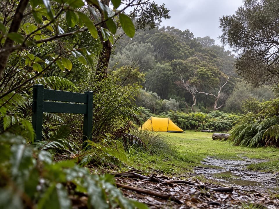
The beach crossings and rock-platform option depend on tide and sea conditions; route guidance recommends low tide and calm seas. Bald Hill is exposed, with a steep descent near The Blowhole. Sand, stone steps and ground that can bog after rain add footing risk. Dogs are not permitted on this route.

3 active Great Otway alerts

  • ClosureWye Road closed after storm and flood damageWye Road is closed until further notice because recent storm and flood damage requires road maintenance and repair works; plan around the closure.Official details
  • ClosureLorne-area walking trails closed after flood damageSome walking trails near Lorne are closed for public safety after the January 2026 flash floods washed away or severely damaged bridges and walkways.Official details
See all 3 alerts
A park ranger sits on a dash-mounted phone, talking, as Parkwolf’s Tour Guide plays “Army Cutworm Moths: A Grizzly Bear Buffet” on Grand Loop Road below Dunraven Pass in Yellowstone
Parkwolf Tour GuideThe highest, rockiest slopes around here are a summer buffet for grizzly bears.

Great Otway Tour Guide

Your drive to Marengo to Shelly Beach Walk, narrated.

Parkwolf is a GPS audio tour guide for Great Otway National Park. As you drive, it chimes in with what’s ahead: hidden gems, upcoming stops, history, geology, and wildlife, right through your car’s speakers.

See the Great Otway audio tour

Recorded for this trailhead

Marengo: The Coastal Walk to Shelly Beach
0:00 / 0:25
“You're coming up on Marengo, a starting point for the coastal walk to Shelly Beach. Allow two to three hours one way for beaches, exposed Bald Hill and a forest finish, with steep sections and changing footing.”

Plays as you drive up to this trailhead in the Parkwolf Great Otway Tour Guide.

More stories near here in the app

  • The Animal That Pumps Its Dinner
  • Wildlife Wonders: A Guided Walk or Café Stop
  • Apollo Bay: Maps and Local Advice
  • Shelly Beach: Down Through the Ferns
  • 252 audio storiesacross Great Otway’s roads, triggered by GPS as you drive
  • Wildlife heatmapsfor Koala, Grey Kangaroo, Echidna, and 13 more
  • Works offlinemaps, 83 trails, 79 places, and audio download before you lose signal
  • CarPlay readysimple controls built for the drive
★★★★★
“Fantastic app with many points of information… It’s great to just turn on while you’re driving and it gives you an audio tour of the national Park. We love it!!!!”
JMJamesApp Store review
Download Parkwolf on the App StoreGet Parkwolf on Google Play

4.7 from 8,600+ ratings

Trail guide

Hiking Marengo to Shelly Beach Walk

The walkThis is a 4.

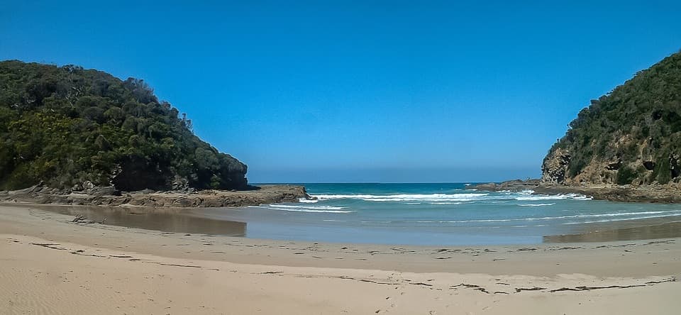
This is a 4.7 km one-way section of the Great Ocean Walk, from the Marengo end to Shelly Beach Picnic Area. The coastal route moves between foreshore and marked track, crosses two sandy beaches, climbs exposed Bald Hill and finishes through sheltered forest. It is a moderate point-to-point walk rather than a loop; allow around 2–3 hours on foot, then account for the return transfer.

The best-supported distance for this Marengo-to-Shelly section is 4.7 km one way. Another published one-way figure gives 6.5 km without explaining the extra distance. The 8.75 km version starts at Apollo Bay Visitor Centre and includes the Apollo Bay–Marengo connector; the 17 km Marengo–Elliot River Circuit is a different return walk. This entry follows the mapped 4.7 km core.

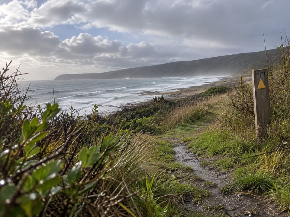
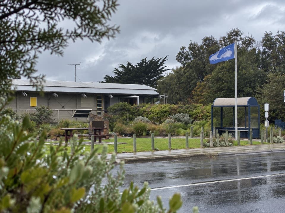
Marengo and the beaconStart near Marengo Crescent and follow the Great Ocean Walk west from the Holiday Park area.

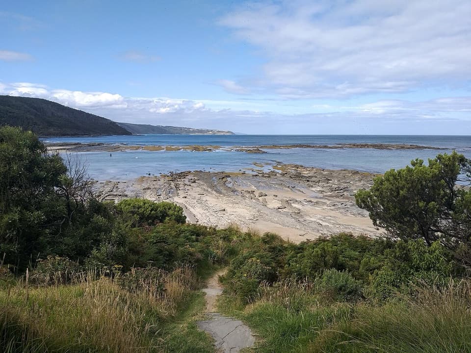
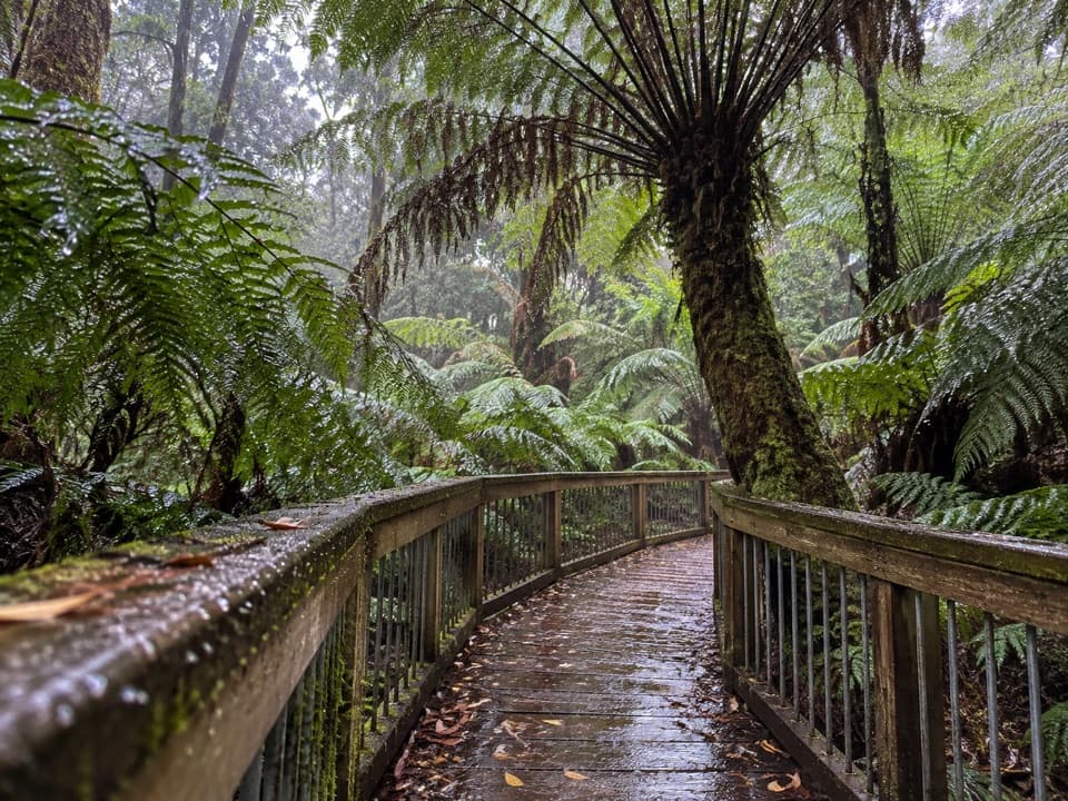
Start near Marengo Crescent and follow the Great Ocean Walk west from the Holiday Park area. The opening section alternates marked track, sandy foreshore and boardwalk; route descriptions also mention a rock-platform or beach option at Marengo, so follow the marked continuation and check the tide before choosing a beach line. Marengo Beacon is a worthwhile pause near the start: the local navigation marker dates to 1858.

Bald Hill and the coastThe path opens onto low clifftops and the more exposed Bald Hill, where a bench gives you a…

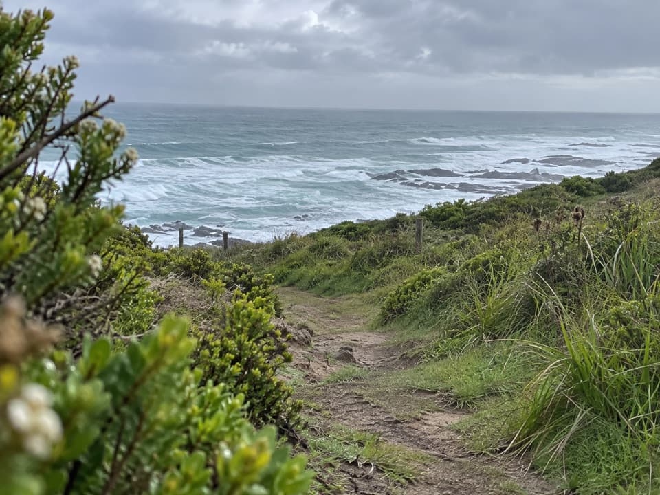
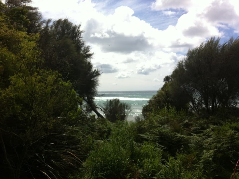
The path opens onto low clifftops and the more exposed Bald Hill, where a bench gives you a place to stop above the coast. From there it drops steeply near The Blowhole. Sand, stone steps and beach crossings slow the pace, especially when the tide or sea state makes the shore route uncomfortable. Keep to the formed trail where it leaves the beach; this is a coastal walk with changing footing, not a continuous firm-surface path.

Into Shelly BeachAfter Three Creeks Beach, the track turns through coastal tea-tree and climbs toward taller,…

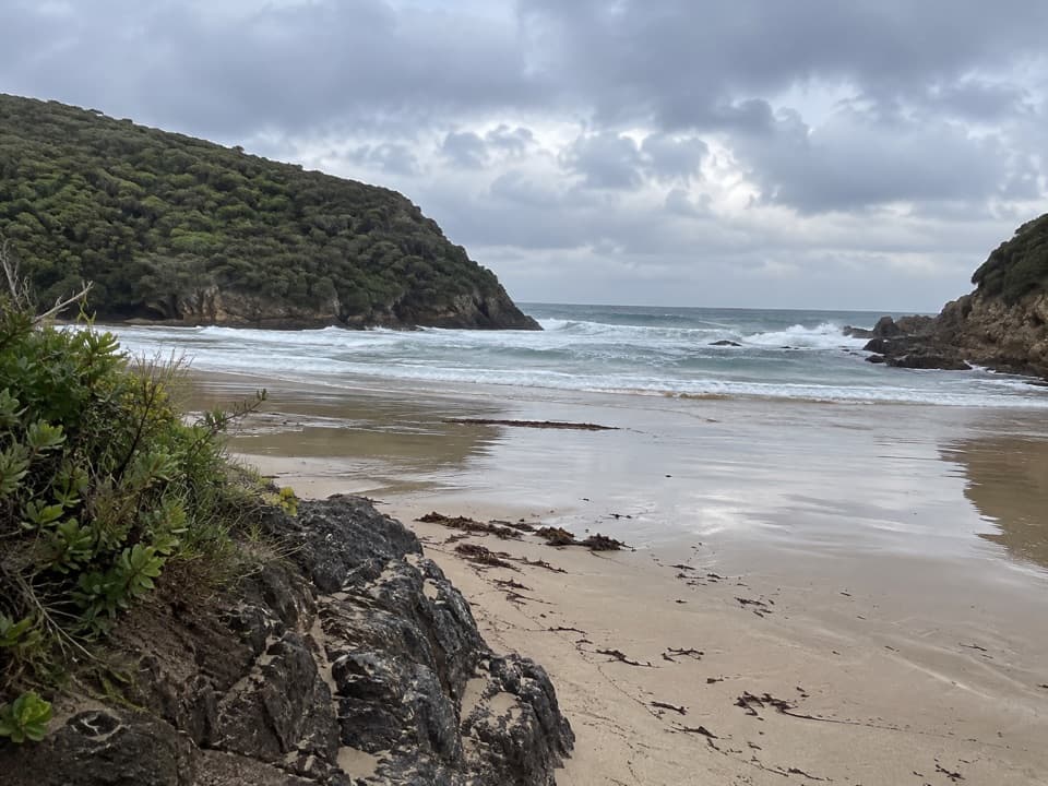
After Three Creeks Beach, the track turns through coastal tea-tree and climbs toward taller, more sheltered forest above Shelly Beach. The ground on this stretch can become boggy after rain. The route reaches the Shelly Beach Picnic Area access, where the park map marks toilets and picnic tables; no drinking-water refill on the walk was confirmed. The cove and wooded approach make a gentler finish after the exposed coast.

Conditions and logisticsChoose a low tide and calm seas for the coastal sections, and check current signs and local…

Choose a low tide and calm seas for the coastal sections, and check current signs and local conditions before setting out. Bald Hill is exposed and the descent near The Blowhole is steep; wet sand, steps or boggy ground can add effort. Dogs are not permitted on this route through Great Otway National Park. Because Marengo and Shelly are different endpoints, arrange a pickup or second vehicle rather than expecting a return loop.

Wildlife

Wildlife in Great Otway

All Great Otway wildlife maps

Sighting maps show where each species has been reported across Great Otway. Wildlife moves, so no sighting is guaranteed.

Keep exploring

Near Marengo to Shelly Beach Walk

See it all on the map

Trails that start nearby

Places near the trailhead

Parkwolf’s Great Otway ranking

Top-rated trails in Great Otway

All 83 trails
  1. 1Great Ocean WalkChallenging · 100 km
  2. 2Maits Rest Rainforest WalkEasy · 0.8 km
  3. 3Triplet Falls WalkModerate · 1.8 km
  4. 4Hopetoun Falls WalkModerate · 0.8 km
  5. 5Madsen’s Track Nature WalkModerate · 1.4 km
  6. 6Lake Elizabeth Loop WalkEasy · 4.7 km

Take Parkwolf to Great Otway.

The audio tour guide for the drive, plus offline maps, trails, and wildlife heatmaps for when the signal drops.

4.7 from 8,600+ ratings

Download Parkwolf on the App StoreGet Parkwolf on Google Play