Parking
Start at Maits Rest car park, directly off the Great Ocean Road about 15 minutes west of Apollo Bay. There are no toilets at the site.

#2 of 83 trails in Great Otway
Great Otway National Park, VIC
A brief 800-metre loop through giant beech and tree ferns.
Overview
Map & elevation
Plan your hike

The highest, rockiest slopes around here are a summer buffet for grizzly bears.
Great Otway Tour Guide
Parkwolf is a GPS audio tour guide for Great Otway National Park. As you drive, it chimes in with what’s ahead: hidden gems, upcoming stops, history, geology, and wildlife, right through your car’s speakers.
See the Great Otway audio tourRecorded for this trailhead
Maits Rest: A Half-Hour in the Rainforest“The Maits Rest car park is ahead, with a half-hour rainforest loop straight off the Great Ocean Road. Choose this one for a close look at tree ferns and old myrtle beeches, some around three hundred years old.”
Plays as you drive up to this trailhead in the Parkwolf Great Otway Tour Guide.
More stories near here in the app
“Fantastic app with many points of information… It’s great to just turn on while you’re driving and it gives you an audio tour of the national Park. We love it!!!!”


Trail guide
Maits Rest Rainforest Walk is an 800-metre (about half-mile) loop beside the Great Ocean Road, with roughly 30 minutes to wander beneath the Otways' cool-temperate rainforest. It is a gentle stop for close-up forest detail, not a summit walk or a route to a big view. Choose it when you want a pause from the coast drive and time to look around; if you want a longer workout, this loop will be over quickly.
Start at Maits Rest car park, directly off the Great Ocean Road about 15 minutes west of Apollo Bay. The circuit returns to the same access. There are no toilets at the site, and dogs are not permitted. Give yourself the full half-hour if you want to stop for the trees and ferns instead of treating it as a quick roadside stretch.
The track enters dense forest quickly. Most of the circuit is boardwalk, with some formed gravel path and steps. Raised sections cross tree-fern gullies and pass over moss-covered roots, keeping feet off ground that is easily damaged. The boardwalk is narrow in places, so be ready to let slower walkers pass.
The walk is easy for most visitors, but it is not uniformly flat: there are small rises, steps and uneven sections. Boardwalk, leaf litter and roots can be slippery after rain. Stay on the formed route; the lush forest floor is part of what the raised path protects.
Myrtle beech, tall trunks, tree ferns and mossy fallen timber crowd the path. Some of the myrtle beeches are estimated to be around 300 years old. This is one of the Otways' remaining temperate-rainforest patches, and the appeal is how close the layers of the forest sit: fern fronds below, trunks and hollow logs beside the track, and a canopy above. There is no lookout payoff; the scenery is the walk itself.
Maits Rest is named for Maitland Bryant, described as the Otway region's first forestry officer. The walking track opened in 1993, and restoration work in 2019 renewed parts of its path. The boardwalk is a practical part of the visit as well as a surface: it channels foot traffic above the damp gullies and tangled roots that make the rainforest floor so easy to damage.
Hollowed trunks and fallen wood hold moss, fungi and ferns growing toward patches of light. Glow worms have also been reported close to the ground beside the track after dark; they can be present through the year, with sightings more common in warm, wet conditions. Leave them undisturbed and keep to the path. For a photograph, let the boardwalk lead into the tree-fern shade and include a nearby trunk for scale.
Wildlife
 204 sightingsKoalaMost seen around 6 PMSighting map
 35 sightingsGrey KangarooMost seen around 6 AMSighting map
 109 sightingsEchidnaMost seen around 5 PMSighting map
 58 sightingsKookaburraMost seen around 6 AMSighting map
 97 sightingsSwamp WallabyMost seen around 6 PMSighting map
 20 sightingsBrushtail PossumMost seen around 8 PMSighting map
Sighting maps show where each species has been reported across Great Otway. Wildlife moves, so no sighting is guaranteed.
Keep exploring
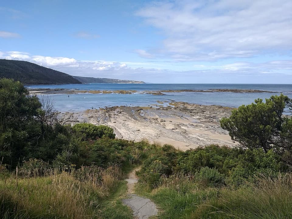 ModerateElliot Ridge to Blanket Bay12 km · 4.5 hr · 6 km awayForest roads lead to a switchback descent and Blanket Bay's shore.
 ModerateElliot River Circuit Walk4.7 km · 1.8 hr · 6.8 km awayRock-hop Elliot River, then climb Elliott Ridge through ferny gullies.
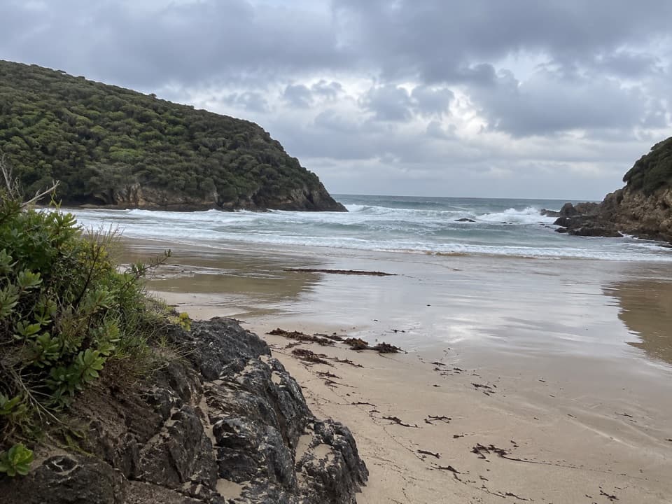 ModerateGreat Ocean Walk: Blanket Bay to Cape Otway11 km · 3.8 hr · 8.4 km awayAn 11 km one-way coastal stage from Blanket Bay to Cape Otway.
 ModerateAire River Escarpment Lookout Walk4 km · 2 hr · 8.4 km awayA short climb from river estuary to ocean views.
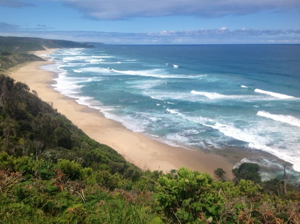 ModerateAire River to Johanna Beach14 km · 5.3 hr · 8.4 km awayCliff views, Castle Cove fossils and a beach finish.
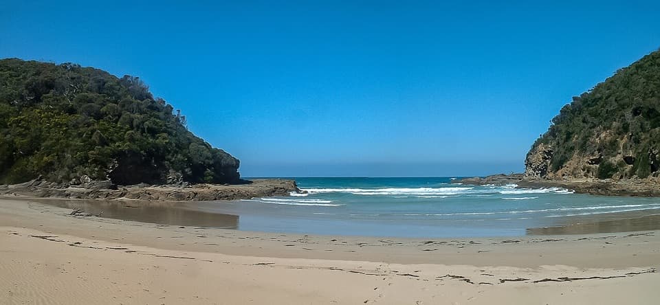 EasyBlanket Bay to Parker Inlet Walk4.6 km · 1.8 hr · 8.5 km awayCoastal bush, an inlet crossing and steep steps to Parker Hill.
 ModerateGreat Ocean Walk: Aire River to Castle Cove6 km · 2.5 hr · 8.5 km awayRiver-mouth views reward the climb to Castle Cove.
 ModerateHopetoun Falls Walk0.8 km · 35 min · 9.8 km awayTwo hundred steps through tree ferns to a 30-metre waterfall.
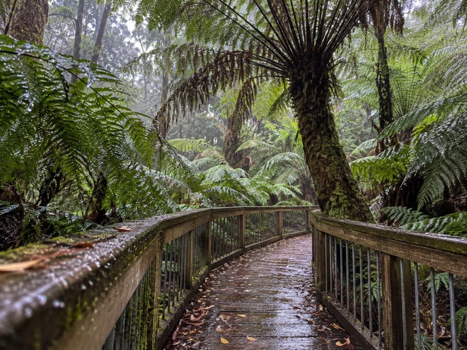 Sight · At the trailheadMaits Rest Rainforest WalkA half-hour boardwalk through tree ferns and old rainforest.
 Campground · 6.4 km awayElliot Ridge Hike-in CampgroundA quiet forest night stop for Great Ocean Walk hikers
 Beach · 7.2 km awayShelly BeachFern-lined walk to tide pools and a small, rugged cove.
 Sight · 7.8 km awayWildlife WondersA guided Otways wildlife walk through coastal bushland.
 Campground · 8 km awayAire River East CampgroundAn unpowered estuary camp for paddling, koalas and quiet bush nights.
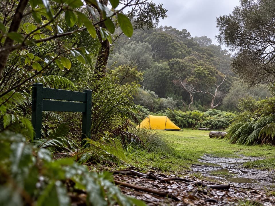 Campground · 8.2 km awayBlanket Bay Hike-in CampgroundA booked overnight camp for Great Ocean Walk hikers.
 Beach · 8.3 km awayBlanket BayA sheltered cove where low tide reveals patterned rock shelves.
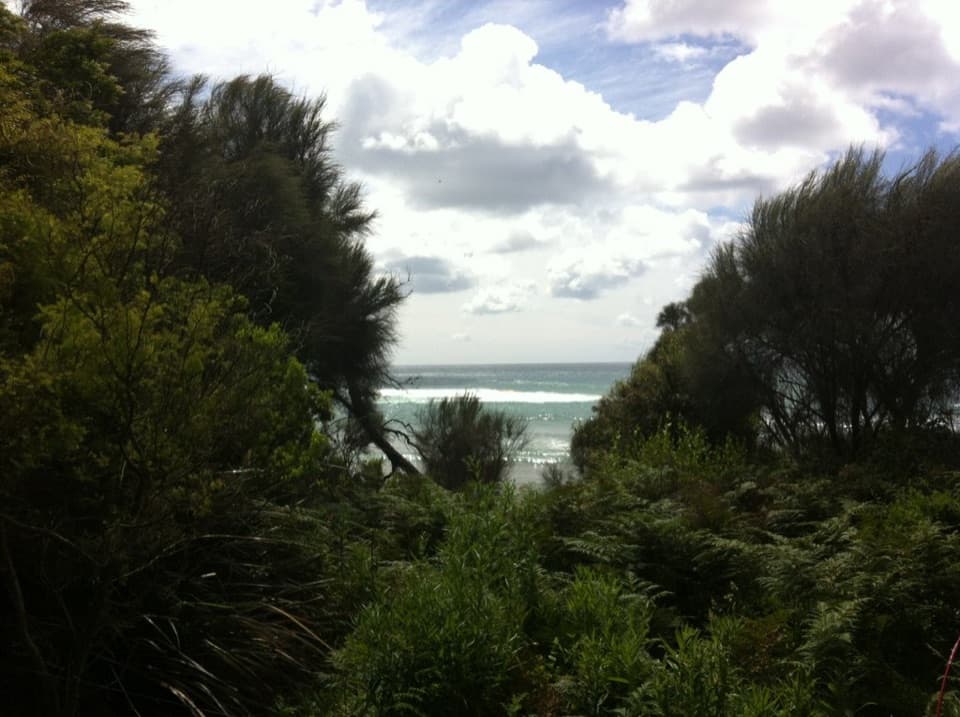 Campground · 8.4 km awayBlanket Bay CampgroundA small unpowered camp tucked behind Cape Otway’s sheltered beach.
Parkwolf’s Great Otway ranking

The audio tour guide for the drive, plus offline maps, trails, and wildlife heatmaps for when the signal drops.