Parking
Park on Bambra Road by the Loves Track gate; the final approach is unsealed. This is a one-way walk, so leave a pickup car at Distillery Creek Picnic Ground or arrange other return transport.
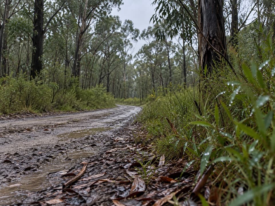
Great Otway National Park, VIC
A stringybark crossing with a Grevillea detour and a lighthouse view.
Overview
Map & elevation
Plan your hike

The highest, rockiest slopes around here are a summer buffet for grizzly bears.
Great Otway Tour Guide
Parkwolf is a GPS audio tour guide for Great Otway National Park. As you drive, it chimes in with what’s ahead: hidden gems, upcoming stops, history, geology, and wildlife, right through your car’s speakers.
See the Great Otway audio tourRecorded for this trailhead
Loves Track: Forest to the Lighthouse View“Up ahead is the Bambra Road start of Loves Track, a forest walk to Distillery Creek Picnic Ground. Allow two hours for the six-kilometre one-way route, and arrange a pickup before setting off.”
Plays as you drive up to this trailhead in the Parkwolf Great Otway Tour Guide.
More stories near here in the app
“Fantastic app with many points of information… It’s great to just turn on while you’re driving and it gives you an audio tour of the national Park. We love it!!!!”


Trail guide
Loves Track is a 6 km point-to-point walk from a gate on Bambra Road to Distillery Creek Picnic Ground. Allow about two hours for the easy-to-moderate route. It follows Loves Track to Trig Point, then descends on a narrower path through the Ironbark Gorge to the lower picnic ground. Arrange a pickup or car shuttle before you set out; this is not a loop. Pet dogs are not permitted in the national park.
The broad forest track passes tall Brown Stringybark. About 100 m from the gate, a small path on the left leads another 150 m to a moist patch where Anglesea Grevillea grows. Return the same way; the short out-and-back adds about 300 m. The plants usually flower in late October or November. Stay quiet and you may spot a shy Southern Emu-wren; Yellow-tailed Black-Cockatoos use the stringybarks for breeding.
At Trig Point, take the narrow, sometimes uneven descent. There are glimpses of the coast through the eucalypts before a picnic seat opens onto Split Point Lighthouse and Aireys Inlet; Lorne can appear farther west on a clear day. Frame the lighthouse with the inlet below it for the route’s most distinctive view. The path then drops through ironbarks beside the sheer edges of Ironbark Gorge. Keep well back from the cliff edge on the way to the picnic ground.
Wildlife
 204 sightingsKoalaMost seen around 6 PMSighting map
 35 sightingsGrey KangarooMost seen around 6 AMSighting map
 109 sightingsEchidnaMost seen around 5 PMSighting map
 58 sightingsKookaburraMost seen around 6 AMSighting map
 97 sightingsSwamp WallabyMost seen around 6 PMSighting map
 20 sightingsBrushtail PossumMost seen around 8 PMSighting map
Sighting maps show where each species has been reported across Great Otway. Wildlife moves, so no sighting is guaranteed.
Keep exploring
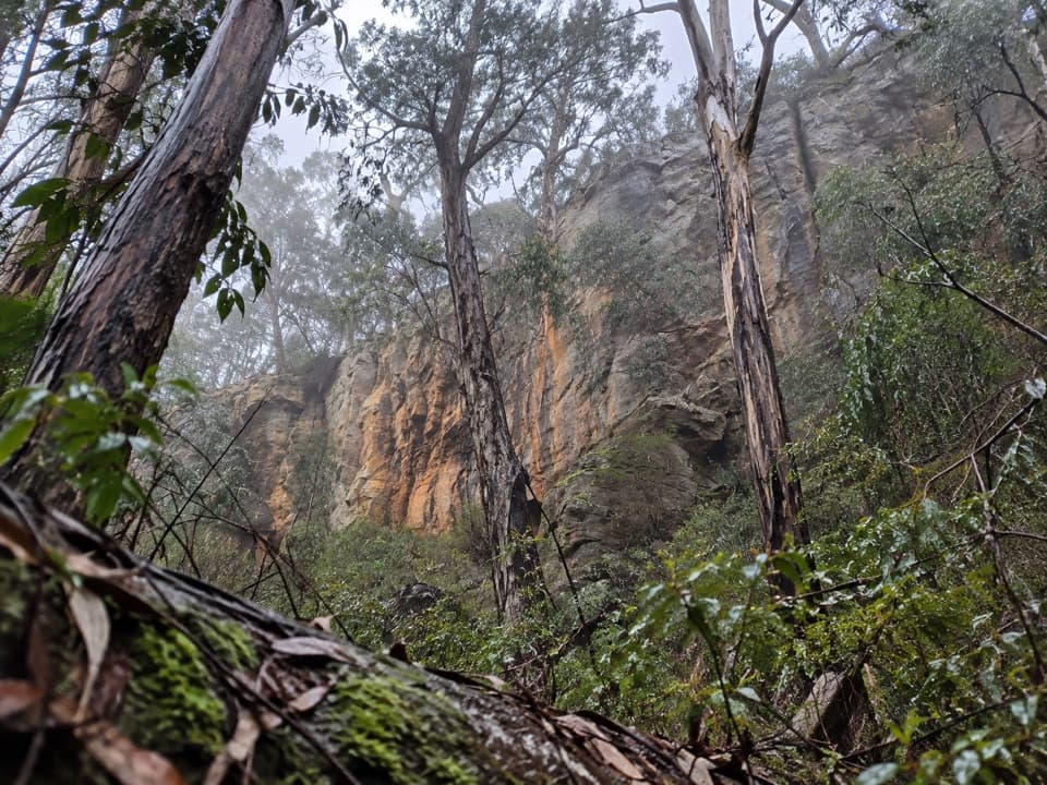 ModerateIronbark Gorge Circuit Walk4.5 km · 1.5 hr · 4.3 km awayA creekside loop of ironbark, ferns and rocky gorge walls.
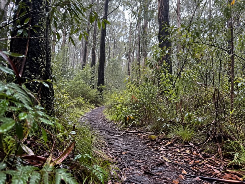 EasyDistillery Creek Nature Trail1.5 km · 45 min · 4.3 km awayA short ironbark loop with trunks still blackened by the 1983 fires.
 ModerateCurrawong Falls Circuit Walk10.9 km · 3.5 hr · 4.3 km awaySplit Point views, a fern gully, and falls that can run dry.
 EasyAireys Inlet Woodland Circuit4.5 km · 1.5 hr · 4.4 km awayAn easy loop from fire-scarred ironbarks to a quieter creek.
 ModerateDistillery Creek to Moggs Creek Walk7.5 km · 2.5 hr · 4.4 km awayClimb above Painkalac Dam on a forest crossing to Moggs Creek.
 EasyDistillery Creek to Painkalac Dam6 km · 1.5 hr · 4.5 km awayAn easy forest walk to the quiet edge of Painkalac Reservoir.
 EasyDistillery Creek Ephemeral Wetlands0.3 km · 15 min · 4.5 km awayA 300 m return to a wetland that comes and goes.
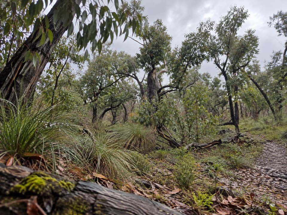 ModerateDistillery Creek – Ted’s Ridge Track Circuit4 km · 1.5 hr · 4.5 km awayA short woodland loop with coastal views, wattles and orchids.
 Sight · 2.8 km awayCurrawong FallsA long fern-gully circuit with a rain-fed waterfall.
 Campground · 3.6 km awayHammond Road CampgroundA quiet bush campground with drive-up and tent-only sites.
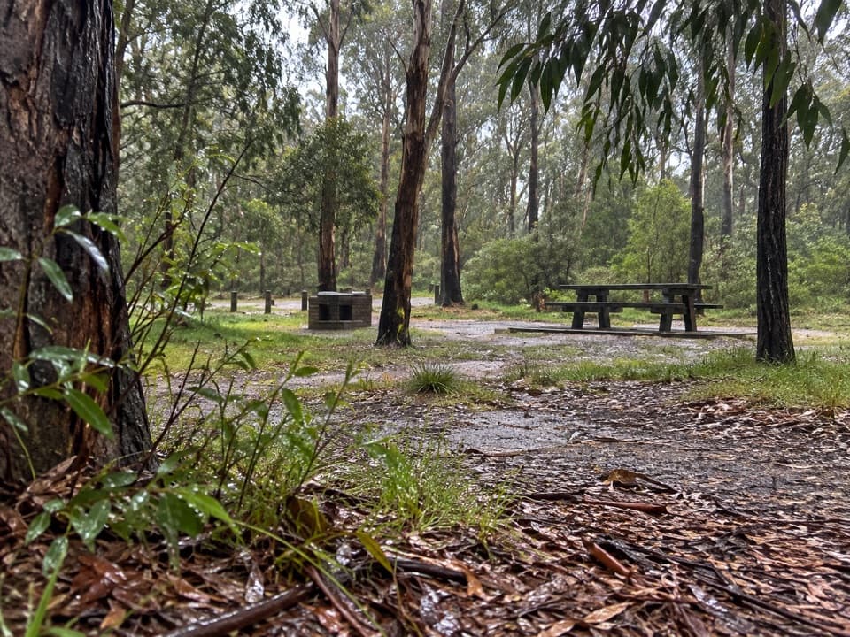 Picnic area · 4.4 km awayDistillery Creek Picnic AreaA picnic base for ironbark walks and the longer falls circuit.
 Picnic area · 4.5 km awayMoggs Creek Picnic AreaA quiet bush picnic with a worthwhile coastal lookout walk.
 Sight · 5.6 km awayOcean View Lookout, Moggs CreekA wide coast view with a lighthouse, beach and road below.
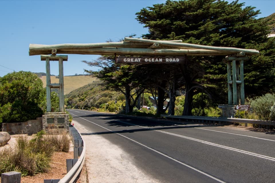 Sight · 6.1 km awayMemorial Arch at Eastern ViewA quick roadside photo with a memorial behind the famous arch.
 Beach · 6.5 km awaySunnymead BeachA quiet cove of reefs and rock pools, reached by steep steps.
 Beach · 6.7 km awayUrquhart BluffLong beach, bluffside surf and rockpools revealed at low tide.
Parkwolf’s Great Otway ranking

The audio tour guide for the drive, plus offline maps, trails, and wildlife heatmaps for when the signal drops.





