Parking
Paved roadside pullout beside the signed grassy entrance on Newfound Gap Road (US 441). The walkway starts past the orange-and-white vehicle gate.
Great Smoky Mountains National Park, TN · NC
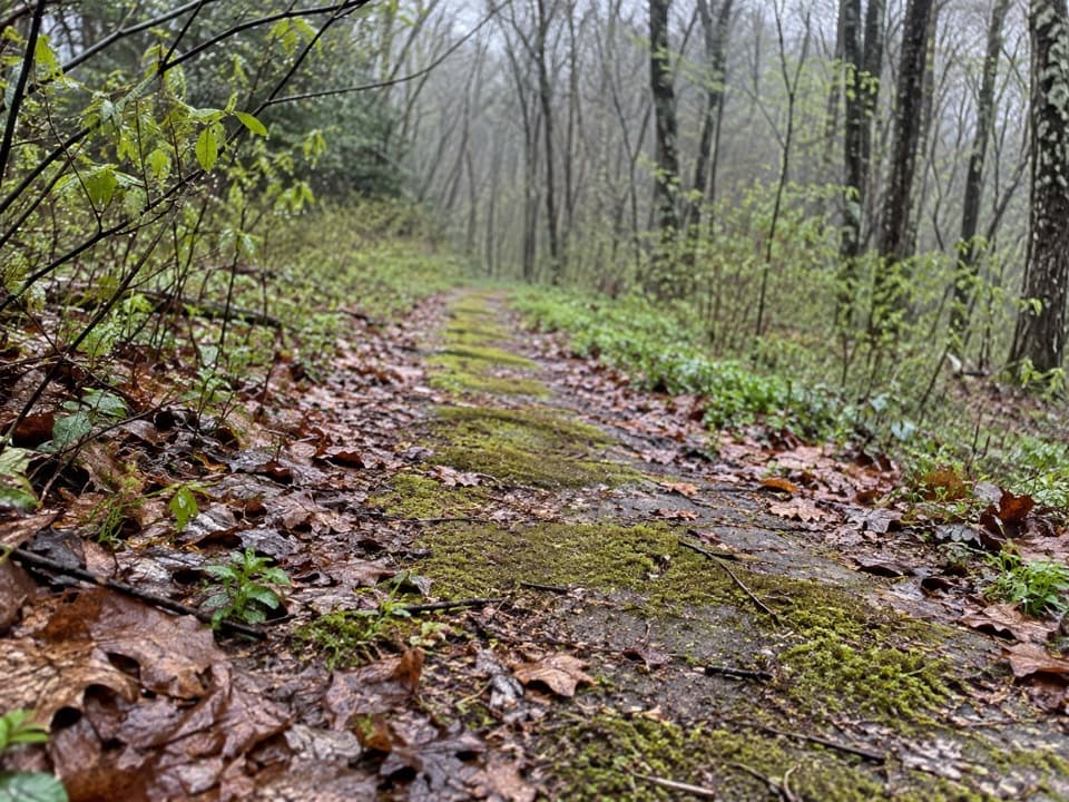
Walk a mossy old roadbed into the cool woods.
Overview
Map & elevation
Plan your hike

The highest, rockiest slopes around here are a summer buffet for grizzly bears.
Great Smoky Mountains Tour Guide
Parkwolf is a GPS audio tour guide for Great Smoky Mountains National Park. As you drive, it chimes in with what’s ahead: hidden gems, upcoming stops, history, geology, and wildlife, right through your car’s speakers.
See the Great Smoky Mountains audio tourRecorded for this area
A Waterfall as a Refuge“Some waterfalls protect more than scenery. They can keep introduced trout from swimming upstream into a brook trout refuge.”
Plays on the road 0.2 mi from the trailhead in the Parkwolf Great Smoky Mountains Tour Guide.
More stories near here in the app
“Fantastic app with many points of information… It’s great to just turn on while you’re driving and it gives you an audio tour of the national Park. We love it!!!!”


Trail guide
Beech Flats Quiet Walkway is an easy, roughly 1-mile out-and-back on an old road grade below Newfound Gap Road. It’s a short woodland detour, with moss-covered pavement and a small stream cutting through near the start. Allow about 30–45 minutes; come for the unusual roadbed, not a waterfall or a big overlook.
Published mileage varies. The named walkway measures about 0.49 mile one way, so this entry counts the return on that same line for just under a mile. A longer continuation toward Newfound Gap is described, but its full connection from this pullout hasn’t been verified; leave that extension out of your plan.
Use the paved roadside pullout beside the grassy, signed entrance on Newfound Gap Road (US 441). The walkway begins beyond an orange-and-white gate that keeps cars off the old road. This is a roadside stop, not a developed trailhead lot.
The broad grade climbs across a wooded mountainside, below and roughly parallel to the modern highway. Patches of old asphalt remain under moss and leaf litter as low plants and young growth reclaim the road. Near the entrance, a small stream cuts through an eroded hollow beneath the roadbed.
The route is short, but the old road isn’t a smooth paved path: moss, leaves, and small stream cuts make parts uneven. Its downhill edge drops toward Beech Flats Prong, so stay on the roadbed and take care near the edge. Dogs aren’t allowed on this trail; only two park trails permit leashed pets.
Wildlife
 1,566 sightingsBlack BearMost seen around 7 PMSighting map
 899 sightingsElkMost seen around 7 AMSighting map
 13 sightingsBald EagleMost seen around 9 AMSighting map
 142 sightingsTimber RattlesnakeMost seen around 6 PMSighting map
 26 sightingsBobcatMost seen around 8 PMSighting map
 42 sightingsRiver OtterMost seen around 7 AMSighting map
Sighting maps show where each species has been reported across Great Smoky Mountains. Wildlife moves, so no sighting is guaranteed.
Keep exploring
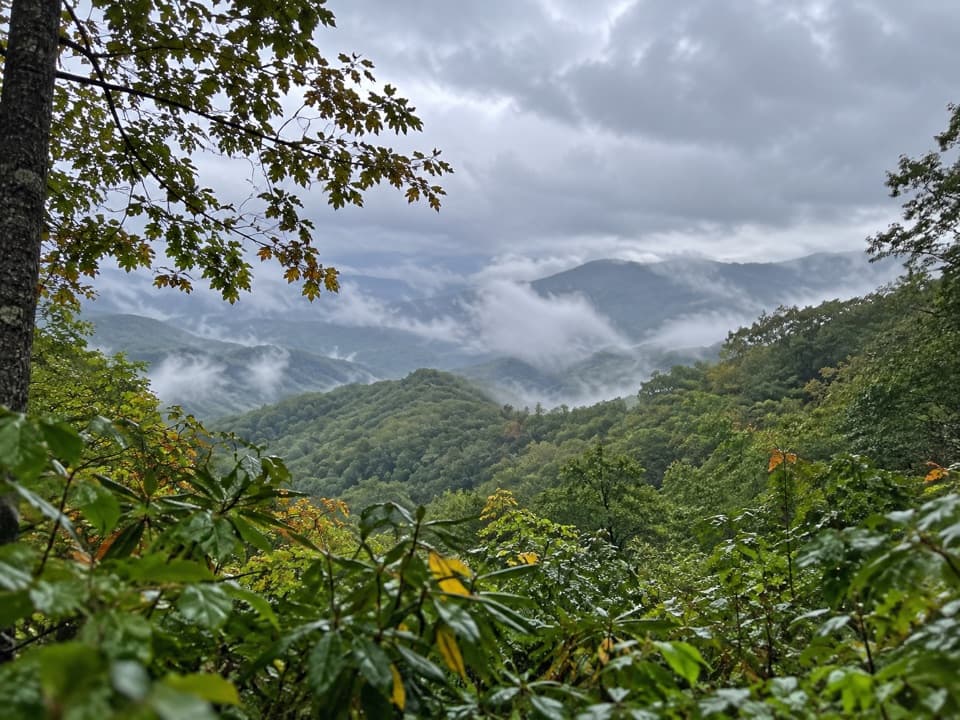 EasySwinging Bridge Quiet Walkway1 mi · 36 min · 0.4 mi awayA quiet ridge walk with a steady climb back to US 441.
 ChallengingDeep Creek Trail14.3 mi · 8 hr · 0.6 mi awayA long one-way descent from Newfound Gap Road to Deep Creek.
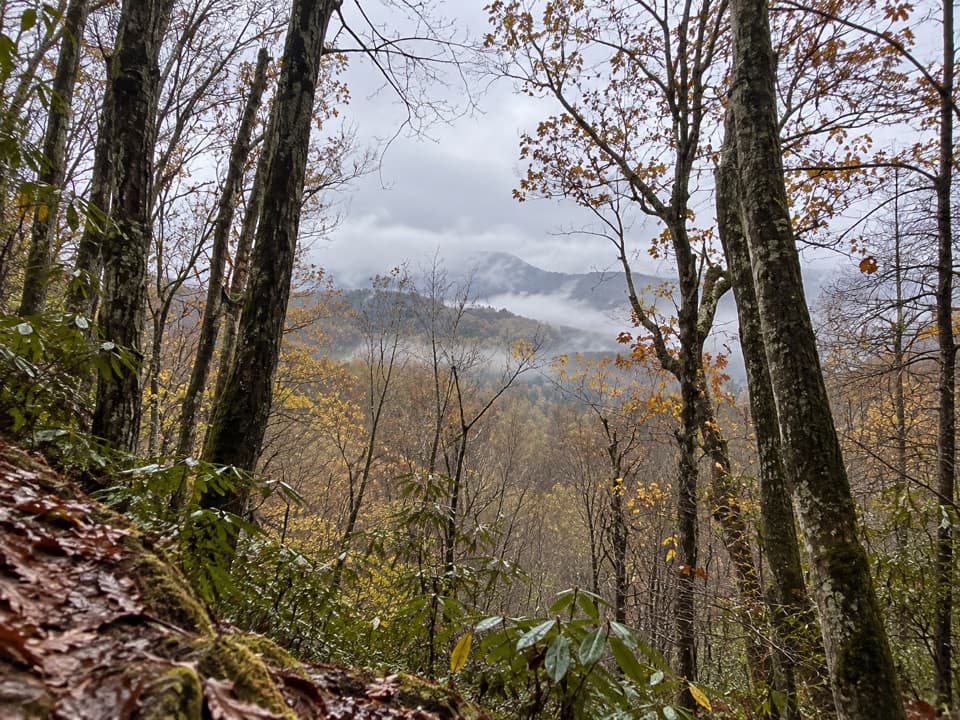 ModerateOld Deep Creek Quiet Walkway0.1 mi · 15 min · 0.8 mi awayA signed, steep forest path drops from Newfound Gap Road.
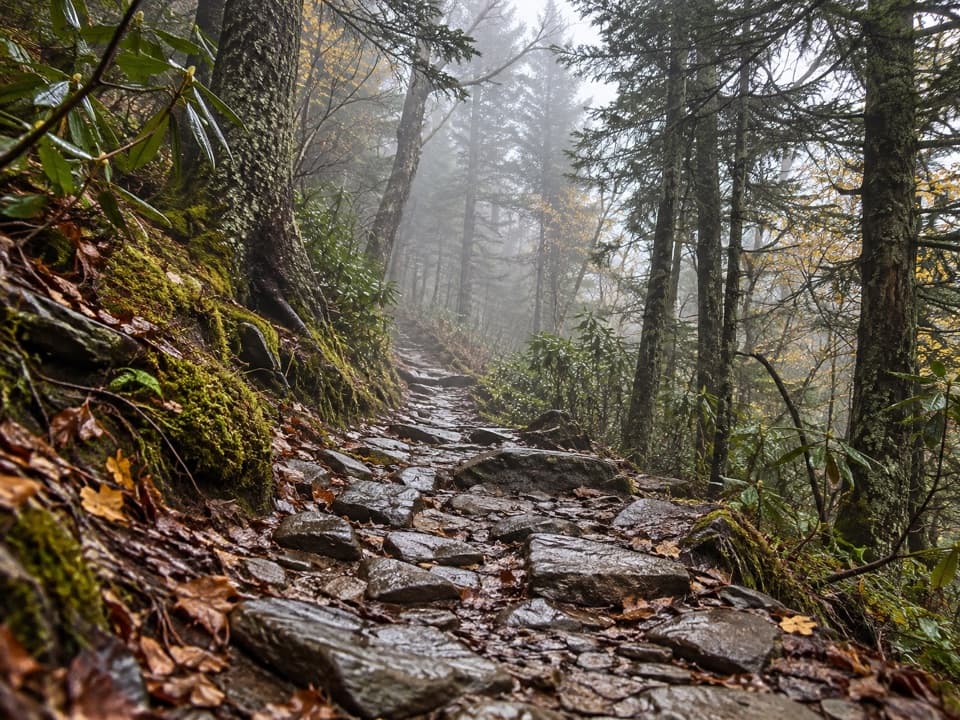 ChallengingMount Le Conte via Appalachian Trail and Boulevard Trail16.2 mi · 10 hr · 1.1 mi awayA demanding ridge traverse to Le Conte via the Appalachian Trail.
 ModerateCharlies Bunion via Appalachian Trail8 mi · 5 hr · 1.1 mi awayAn 8-mile Appalachian Trail out-and-back to an exposed Smokies outcrop
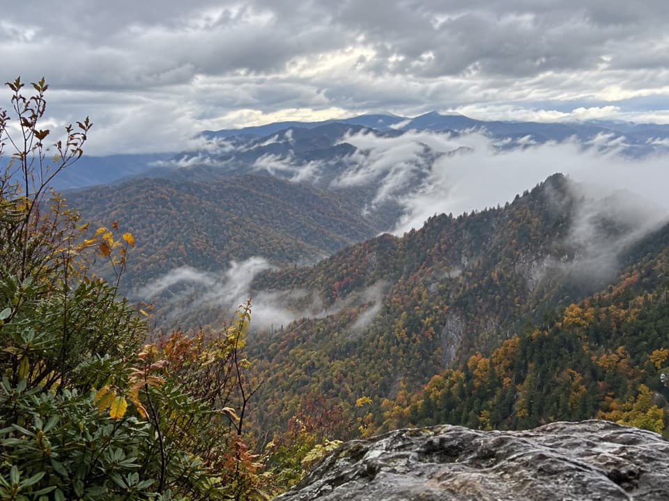 ModerateThe Jump Off Trail6.5 mi · 4 hr · 1.1 mi awayClimb a rough AT approach to a cliffside Smokies panorama
 ChallengingThomas Divide Trail13.6 mi · 8 hr · 1.2 mi awayA soft upper ridge gives way to a steep, 14-mile traverse.
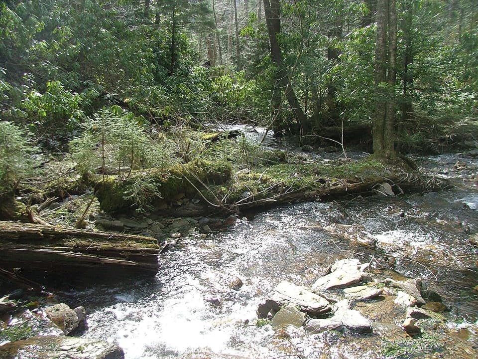 ChallengingRoad Prong Trail2.4 mi · 2 hr · 2 mi awayA rocky creek walk on the old Oconaluftee Turnpike
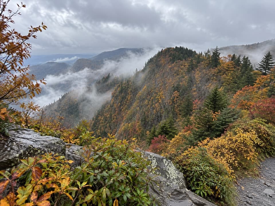 Scenic pullout · 0.5 mi awayDeep Creek Valley OverlookA roadside viewpoint over Deep Creek Valley
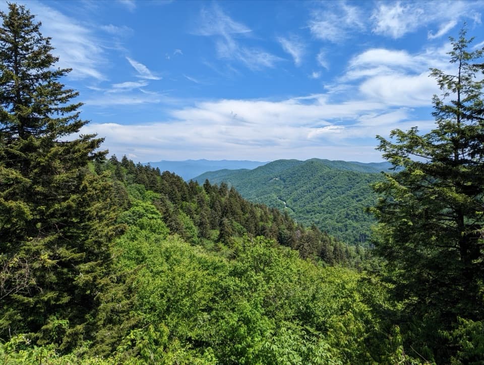 Sight · 1.1 mi awayNewfound Gap OverlookA 5,046-foot pass, a state line, and a historic terrace.
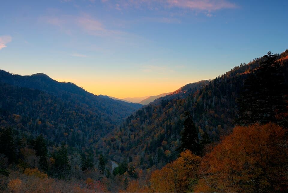 Sight · 1.4 mi awayBen Morton OverlookA west-facing Smokies overlook with a seasonal sunset alignment.
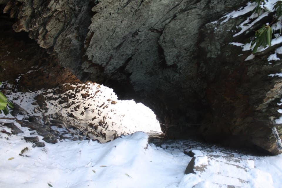 Sight · 3 mi awayArch RockTake the stone steps right through a natural arch.
 Sight · 3.3 mi awayAlum Cave BluffsA 4.6-mile Smokies hike ends beneath a 75-foot rock overhang.Sight · 3.6 mi awayCharlies BunionEight miles through forest to a raw, rocky mountain perch.
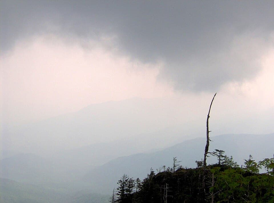 Sight · 3.9 mi awayMyrtle PointA serious hike earns one of Le Conte's best signed views.
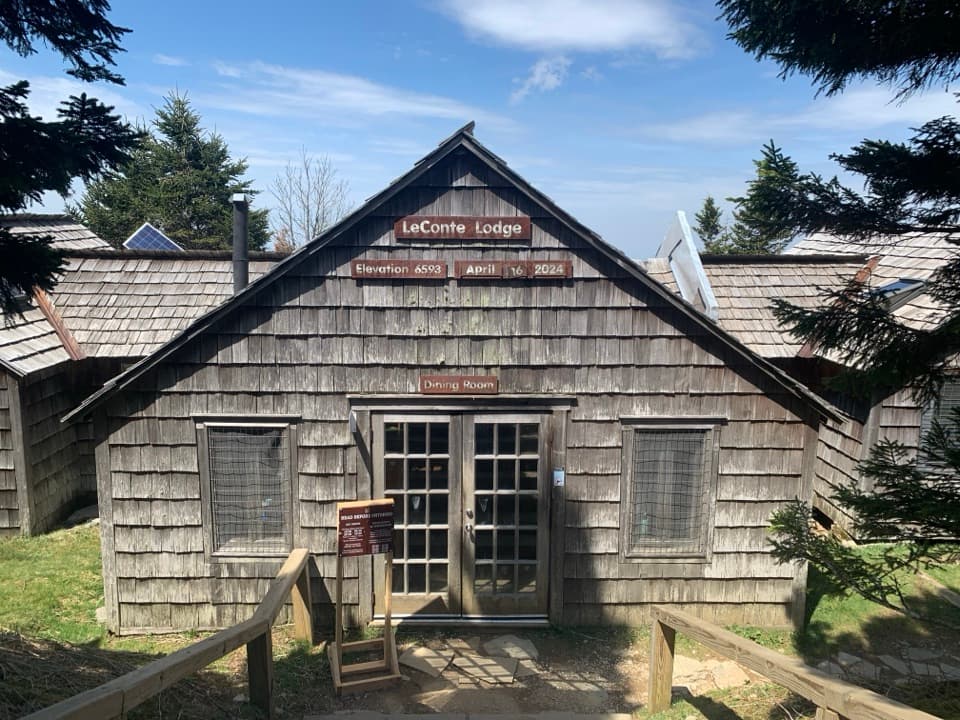 Lodging · 4.2 mi awayLeConte LodgeA historic hike-in lodge on Mount LeConte with family-style meals.
Parkwolf’s Great Smoky Mountains ranking

The audio tour guide for the drive, plus offline maps, trails, and wildlife heatmaps for when the signal drops.



