Grassy Branch Trail in Great Smoky Mountains National Park

Great Smoky Mountains National Park, TN · NC

Grassy Branch Trail

A hard switchback climb through grassy openings to Dry Sluice Gap.

Length
2.6mi
Time
3hr
Elev. change
1,657ft
Difficulty
Challenging
  • No dogs
  • High point 5,299 ft

Hear the audio tour

Kanati Fork Trailhead and Quiet Walkway

Overview

About Grassy Branch Trail

Why go

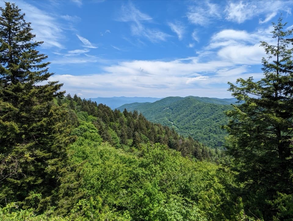
  • Grassy openings and filtered peak views reward the climb.
  • The access route adds stream crossings and CCC history.

Heads up

  • A steep climb of roughly 1,800 feet on loose, sometimes wet footing.
  • Two miles of access walking, then point-to-point logistics.

Map & elevation

The route

Loading the Great Smoky Mountains map
Full map
Elevation3,642–5,299 ft
TrailheadKephart Shelter35.60996, -83.36867
Keep this map with you offline in the Parkwolf app

Plan your hike

Before you go

Parking

Use Kephart Prong Trailhead, the small paved pull-off on Newfound Gap Road (US 441), about 5 miles north of Smokemont Campground. Parking is limited; the park suggests a shuttle, and a parking tag is required for stays over 15 minutes. Kephart Shelter, where Grassy Branch starts, is about 2 miles up the Kephart Prong Trail. Nearest restrooms are at Collins Creek Picnic Area (seasonal) or Oconaluftee Visitor Center.

Safety

Steep switchbacks, loose rock, wet footing after rain and several creek crossings. This point-to-point route starts about 2 miles from parking, so plan how you will exit from Dry Sluice Gap or retrace the route. Dogs are not allowed. Overnight stays at Kephart Shelter require a reservation and backcountry permit.

7 active Great Smoky Mountains alerts

  • ClosureHurricane Helene backcountry trail closures and hazardsHurricane Helene damage has closed backcountry trails and left hazardous crossings; avoid closed routes and heed trail-specific restrictions.Official details
  • CautionBear-related trail, road, shelter, and campsite restrictionsBear activity has closed trails, a shelter, and campsites and restricted pedestrian access on Cherokee Orchard Road; follow the vehicle restrictions and avoid closed areas.Official details
See all 7 alerts
A park ranger sits on a dash-mounted phone, talking, as Parkwolf’s Tour Guide plays “Army Cutworm Moths: A Grizzly Bear Buffet” on Grand Loop Road below Dunraven Pass in Yellowstone
Parkwolf Tour GuideThe highest, rockiest slopes around here are a summer buffet for grizzly bears.

Great Smoky Mountains Tour Guide

Your drive to Grassy Branch Trail, narrated.

Parkwolf is a GPS audio tour guide for Great Smoky Mountains National Park. As you drive, it chimes in with what’s ahead: hidden gems, upcoming stops, history, geology, and wildlife, right through your car’s speakers.

See the Great Smoky Mountains audio tour

Recorded for this area

Kanati Fork Trailhead and Quiet Walkway
0:00 / 0:29
“Kanati Fork trailhead is ahead, a stop to consider for spring wildflowers, especially in April. Trilliums and trout lilies grow along the lower miles, so you can turn back before committing to the full climb.”

Plays on the road 1.6 mi from the trailhead in the Parkwolf Great Smoky Mountains Tour Guide.

More stories near here in the app

  • Gliding Through the Dark
  • Kephart Prong Trailhead
  • A Stone Case That Walks
  • A Flower with Ten Catapults
  • 188 audio storiesacross Great Smoky Mountains’s roads, triggered by GPS as you drive
  • Wildlife heatmapsfor Black Bear, Elk, Bald Eagle, and 13 more
  • Works offlinemaps, 197 trails, 100 places, and audio download before you lose signal
  • CarPlay readysimple controls built for the drive
★★★★★
“Fantastic app with many points of information… It’s great to just turn on while you’re driving and it gives you an audio tour of the national Park. We love it!!!!”
JMJamesApp Store review
Download Parkwolf on the App StoreGet Parkwolf on Google Play

4.7 from 8,600+ ratings

Trail guide

Hiking Grassy Branch Trail

A steep one-way climbGrassy Branch Trail is a 2.

Grassy Branch Trail is a 2.6-mile point-to-point climb from Kephart Shelter to the Dry Sluice Gap Trail junction. It gains about 1,800 feet, mostly on repeated switchbacks; allow around three hours one way. This isn't a loop. Decide how you'll continue from Dry Sluice Gap or return before you start. The 2.6 miles cover Grassy Branch itself, not the roughly two-mile approach from Newfound Gap Road.

Loose footing, creeks and viewsThe climb works around steep slopes on a rocky tread that can feel loose and wet after rain.

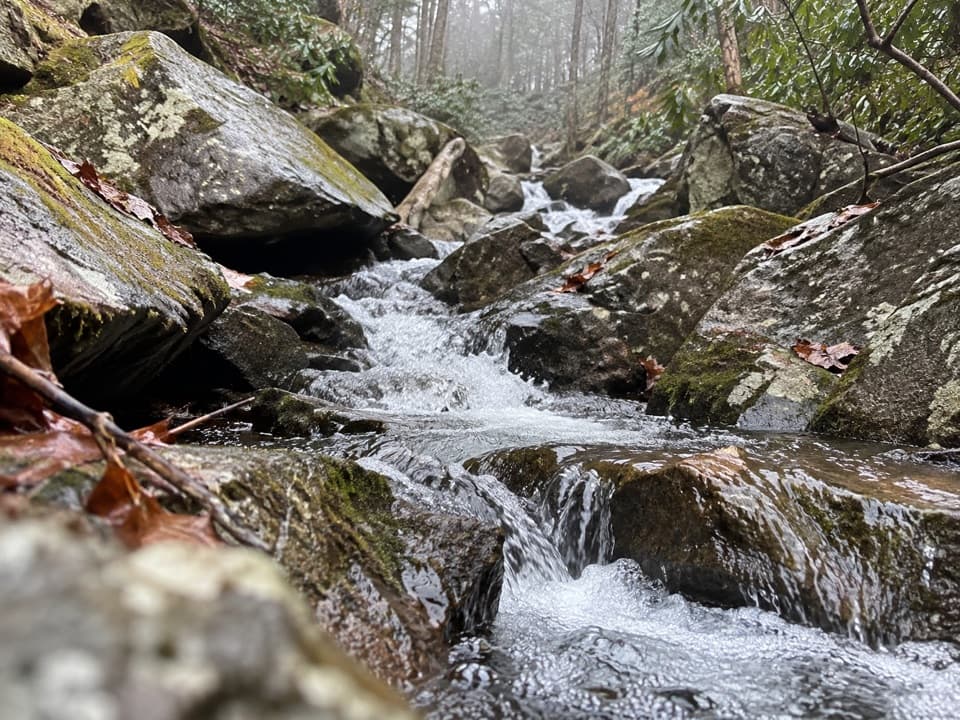
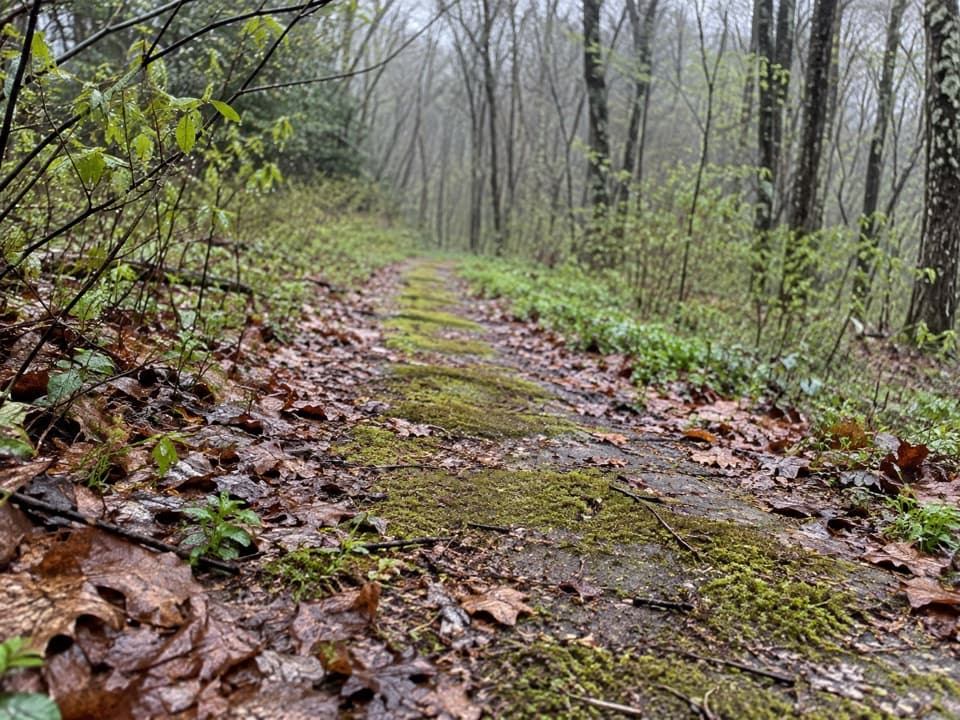
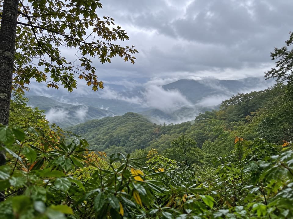
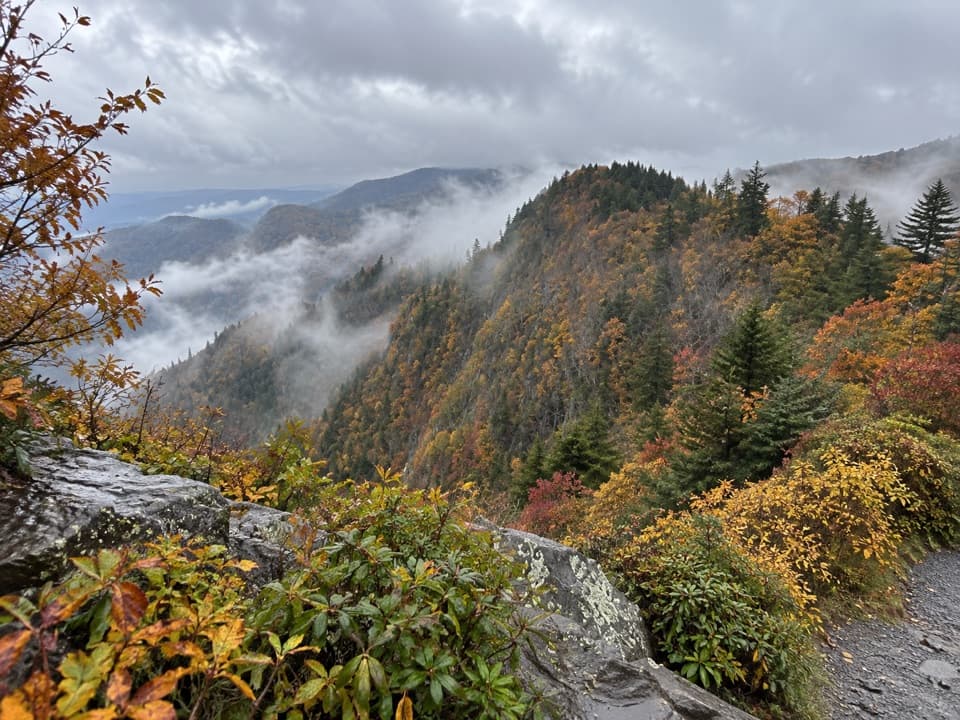
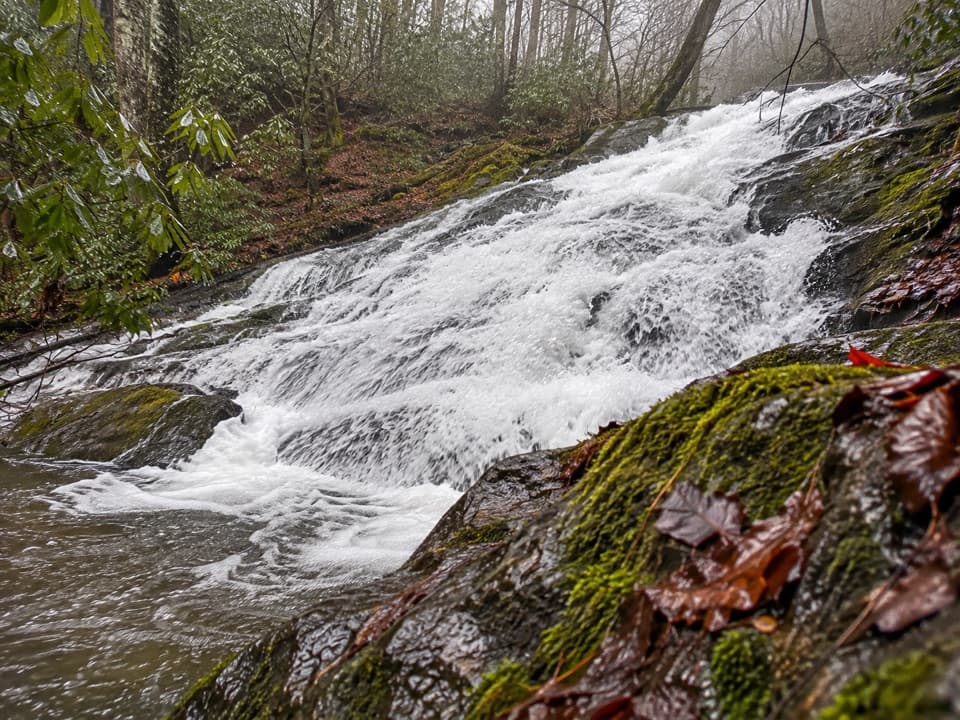
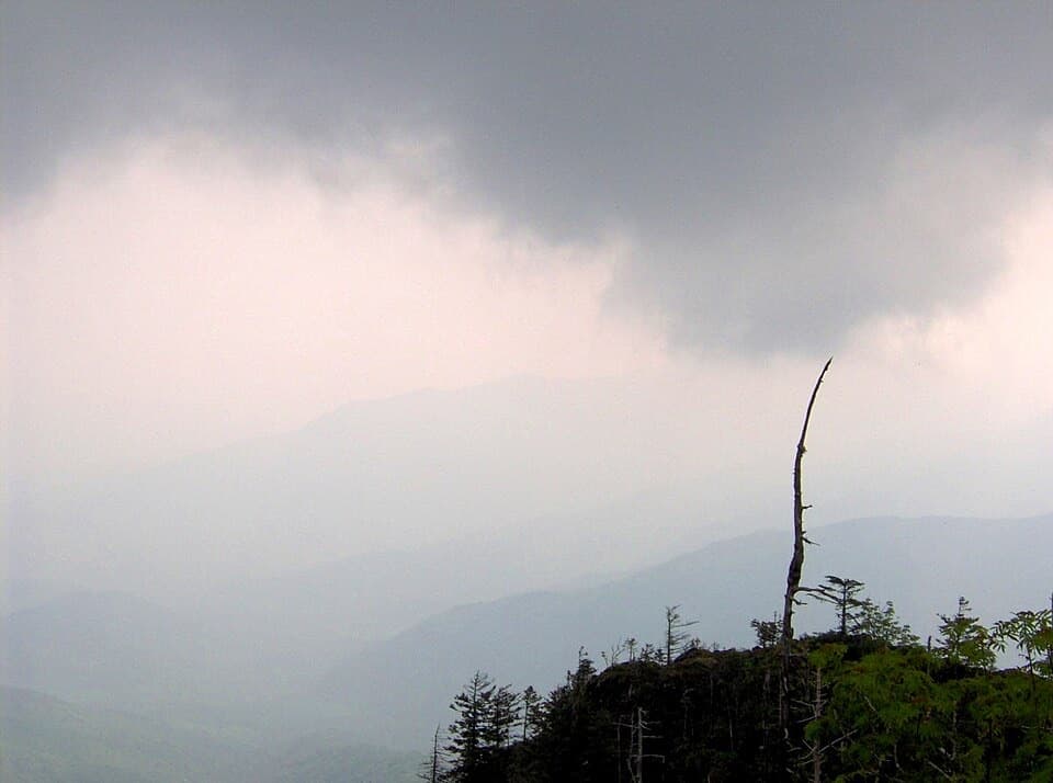
The climb works around steep slopes on a rocky tread that can feel loose and wet after rain. It crosses several creeks and passes a stone wall, then briefly widens and eases before switchbacks resume. Higher up, grassy openings and breaks in the trees give filtered views of Smokies peaks, clearest after leaves fall. Near the end, an eroded stretch reaches the Dry Sluice Gap Trail junction; the Appalachian Trail is about 1.3 miles farther on.

Get to the starting pointPark at Kephart Prong Trailhead, a small paved pull-off on US 441.

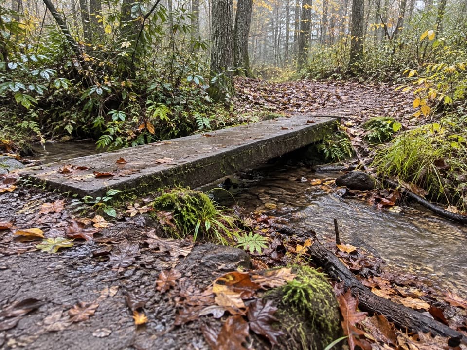
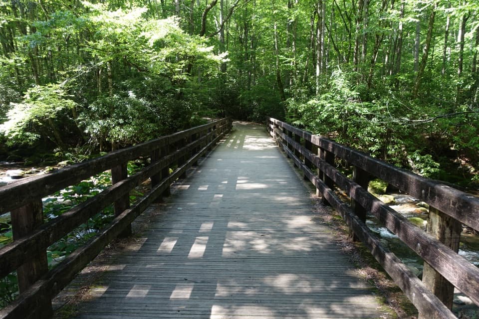
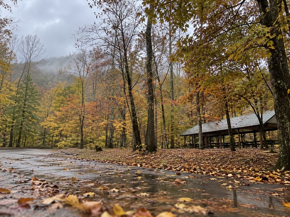
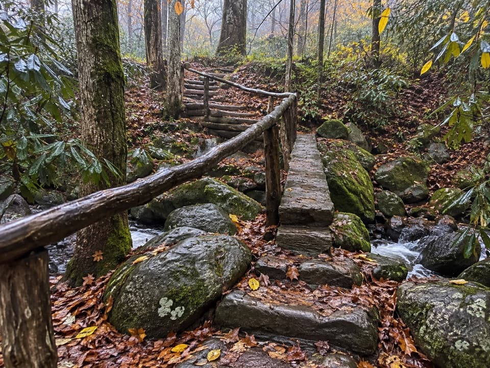
Park at Kephart Prong Trailhead, a small paved pull-off on US 441. Parking is limited, so the park suggests using a shuttle; a parking tag is required for stays over 15 minutes. From the road, Kephart Prong Trail climbs about two miles to Kephart Shelter, where Grassy Branch begins. The access walk is four miles round trip and crosses several log footbridges. The nearest restrooms are at Collins Creek Picnic Area, open seasonally, or Oconaluftee Visitor Center. Dogs aren't allowed on this trail. Overnight stays at Kephart Shelter need a reservation and backcountry permit.

A shorter alternativeIf you want the streams and history without Grassy Branch's harder climb, walk Kephart Prong…

If you want the streams and history without Grassy Branch's harder climb, walk Kephart Prong Trail to Kephart Shelter and return. It's a four-mile outing with about 830 feet of gain, following an old paved jeep road past the remains of a Civilian Conservation Corps camp.

Wildlife

Wildlife in Great Smoky Mountains

All Great Smoky Mountains wildlife maps

Sighting maps show where each species has been reported across Great Smoky Mountains. Wildlife moves, so no sighting is guaranteed.

Keep exploring

Near Grassy Branch Trail

See it all on the map

Trails that start nearby

Places near the trailhead

Parkwolf’s Great Smoky Mountains ranking

Top-rated trails in Great Smoky Mountains

All 197 trails
  1. 1Mount Le Conte via Alum Cave TrailChallenging · 10 mi
  2. 2Charlies Bunion via Appalachian TrailModerate · 8 mi
  3. 3Alum Cave Trail to Alum Cave BluffsModerate · 4.6 mi
  4. 4Ramsey Cascades TrailChallenging · 8 mi
  5. 5Mount Cammerer TrailChallenging · 11.1 mi
  6. 6Gregory Ridge TrailChallenging · 11.4 mi

Take Parkwolf to Great Smoky Mountains.

The audio tour guide for the drive, plus offline maps, trails, and wildlife heatmaps for when the signal drops.

4.7 from 8,600+ ratings

Download Parkwolf on the App StoreGet Parkwolf on Google Play