Moderate

Lynn Camp Prong Trail

Quiet streamside connector with rock hops, camps, and loop options
Lynn Camp Prong Trail, Great Smoky Mountains National Park
Distance3.7 mi
Typical time2 hr
DifficultyModerate
PetsNot allowed

Overview

Lynn Camp Prong Trail is a lush, streamside climb on the quiet side of the Smokies. It runs 3.7 miles one way with roughly 1,200 feet of gain, threading rhododendron tunnels and mossy creek banks as it ascends to Miry Ridge. Expect an easy-to-moderate grade overall: the first ~1.5 miles are gentle, then it steadily steepens without ever getting punishing.

How You Get There (Important)

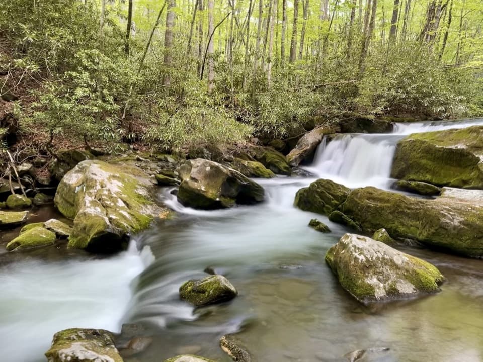
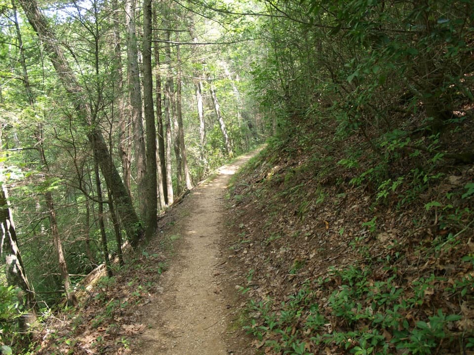
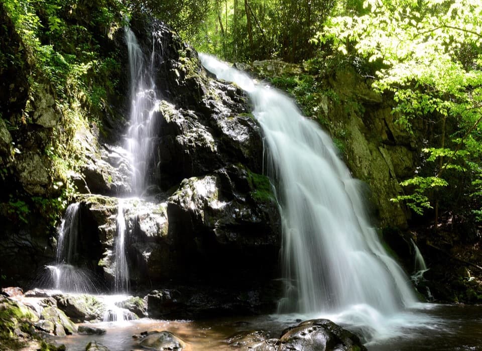
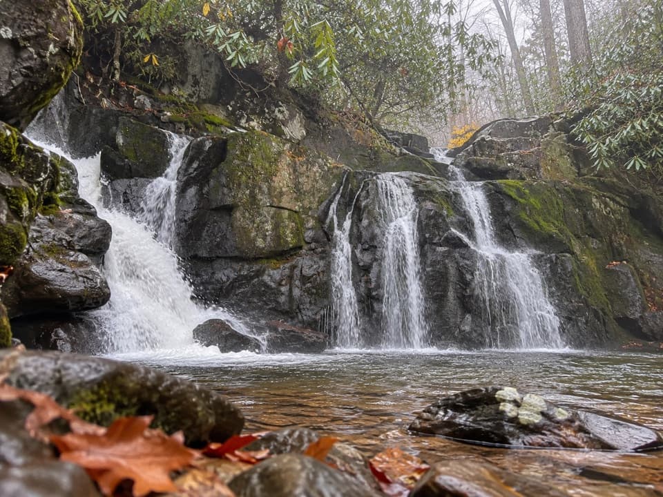
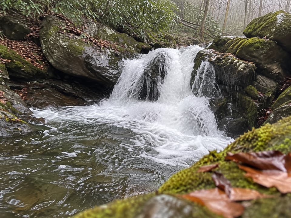
You won’t start directly on Lynn Camp Prong. Park at the Middle Prong Trailhead at the end of Upper Tremont Road and hike 4.1 miles up Middle Prong Trail to the Lynn Camp Prong junction. That approach is a broad, old logging-rail grade with a gentle incline and near-constant river music. Along the way you’ll pass photogenic cascades—most notably Lynn Camp Prong Cascades—and farther up, Indian Flats Falls. From the junction, Lynn Camp Prong Trail itself begins.

On-Trail Experience

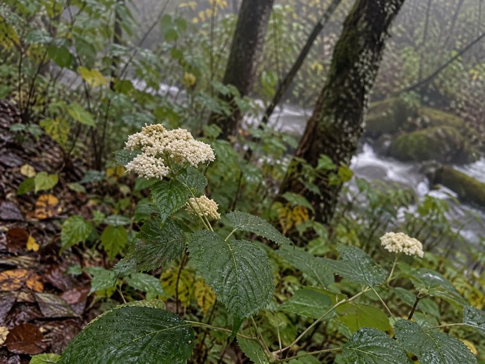
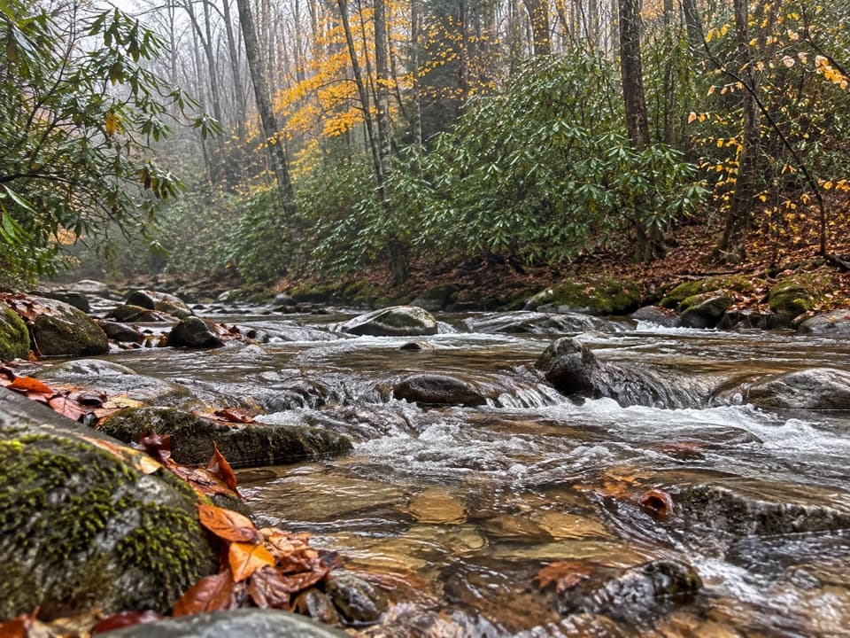
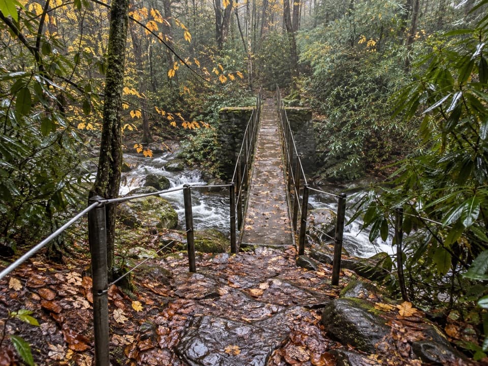
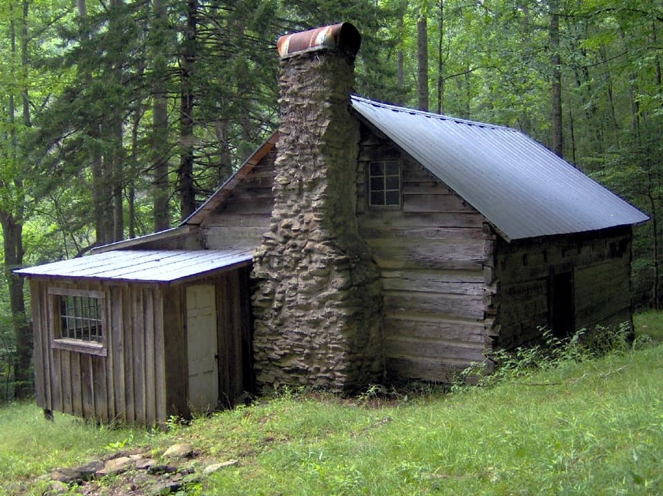
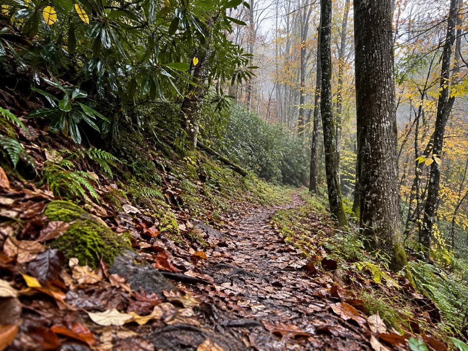
From its lower junction, the trail stays close to the creek, with a few rock-hop stream crossings that can feel sporty when water is up. Footing can be damp or muddy in places, and you’ll move in and out of shady rhododendron and ferny seeps as the valley narrows. Keep an eye out for logging-era relics in the broader Tremont area—the whole corridor was once a railroad grade—then settle into the quieter, more backcountry feel of Lynn Camp Prong as you climb.

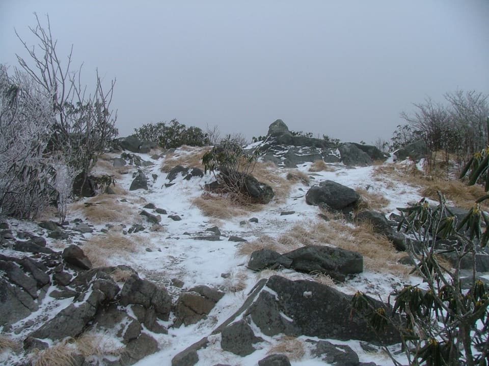
Backcountry Campsite 28 sits about 1.5 miles up the trail via a short, signed side path. It’s a broad, nearly level cove; permits/reservations are required. Farther up, the trail tops out at Miry Ridge, where you can turn right toward the Appalachian Trail or left toward Jakes Gap.

Scenery and Wildlife

This is a hike for stream lovers: constant riffles, small cascades, moss, and deep summer shade. Wildlife sightings are possible—red squirrels are common, and black bears may feed in late-season cherry trees overhead. Give all wildlife plenty of space and keep moving if bears are present.

Best Time to Hike

Year-round. Summer is cool and green under heavy canopy; fall color lights up the coves; winter opens views and lowers water levels for easier crossings. After rains the creek is gorgeous, but rocks are slick and crossings harder—start early to secure limited parking and to give yourself time if flows are high.

Who Will Love It (And Who Won’t)

If you want a quieter, creekside climb with real backcountry vibes and a great first-night campsite option, this is your trail. If you’re short on time or just want waterfalls with minimal effort, the short walk to Lynn Camp Prong Cascades on Middle Prong Trail is the better fit.

Route Options

Strong hikers often stitch a superb lollipop: Middle Prong → Lynn Camp Prong → Miry Ridge → Panther Creek → back on Middle Prong. It’s about 14.9 miles total with varied terrain and numerous crossings—expect wet feet when water is up. From Miry Ridge, you can also push to the Appalachian Trail for a bigger day.

Logistics and Tips

  • Length: 3.7 miles one way for Lynn Camp Prong Trail itself. Reaching it adds 4.1 miles each way on Middle Prong Trail.
  • Parking: Middle Prong Trailhead at the end of Upper Tremont Road (unpaved). Limited spaces. A parking tag is required. No restrooms at the trailhead; the nearest facilities are in Townsend.
  • Safety: Rock-hop crossings become tricky after rain; carry trekking poles and be willing to turn around in high water. Mud is common. Give bears lots of space and keep food secured at camp.

Pros

  • Backcountry feel with fewer people than other Tremont-area hikes
  • Campsite 28 offers an easy, streamside first-night backpack option

Cons

  • Requires a 4.1-mile approach on Middle Prong before the trail even begins
  • Multiple unbridged crossings can be hazardous after heavy rain

Parking

Park at Middle Prong Trailhead at the end of Upper Tremont Road (unpaved). Limited spaces; parking tag required. No restrooms at trailhead; nearest facilities are in Townsend.

Caution

Three unbridged stream crossings; rocks are slick after rain and high water may require wading. Long approach from the trailhead adds commitment. Bears are active—give them space and secure food.

The Parkwolf tour guide sitting on a phone mounted in a car

Parkwolf Tour Guide

Like a tour guide in your car.

Bring Great Smoky Mountains trail research into the car, with offline maps and stories that play as you drive.Download Parkwolf on the App Store