Parking
Middle Prong Trailhead is at the end of Upper Tremont Road. An NPS parking tag is required for stays longer than 15 minutes; no reservation is required.
Great Smoky Mountains National Park, TN · NC
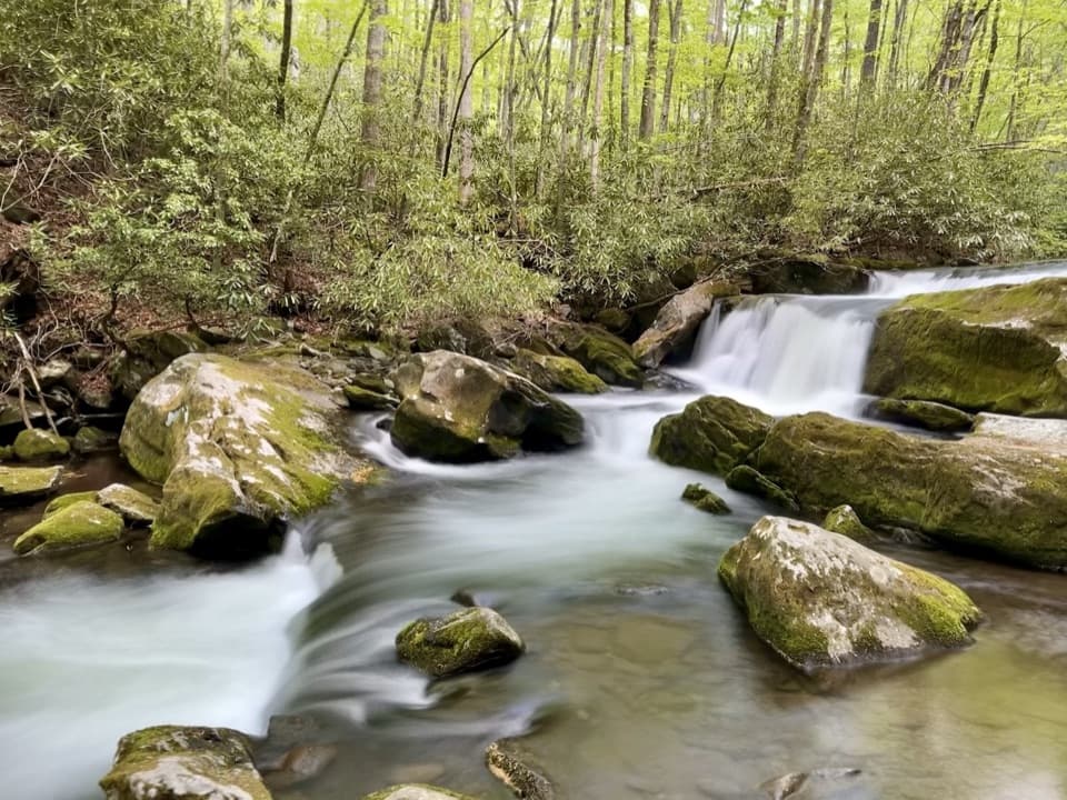
An old railroad bed follows a mountain stream to stepped cascades.
Overview
Map & elevation
Plan your hike

The highest, rockiest slopes around here are a summer buffet for grizzly bears.
Great Smoky Mountains Tour Guide
Parkwolf is a GPS audio tour guide for Great Smoky Mountains National Park. As you drive, it chimes in with what’s ahead: hidden gems, upcoming stops, history, geology, and wildlife, right through your car’s speakers.
See the Great Smoky Mountains audio tourRecorded for this trailhead
Middle Prong and Lynn Camp Prong Cascades“Middle Prong trailhead is coming up, a good choice for a short walk beside tumbling water.”
Plays as you drive up to this trailhead in the Parkwolf Great Smoky Mountains Tour Guide.
More stories near here in the app
“Fantastic app with many points of information… It’s great to just turn on while you’re driving and it gives you an audio tour of the national Park. We love it!!!!”


Trail guide
Lynn Camp Prong Cascades is a 1.4-mile round-trip out-and-back from Middle Prong Trailhead at the end of Upper Tremont Road. It follows the lower Middle Prong Trail beside a mountain stream on an old railroad bed. The grade is mostly wide and gentle, with a steady rise; allow about 30 to 60 minutes if you want time at the water.
The creek stays close for much of the walk, with rhododendron and rock outcrops along the wooded corridor. Washouts narrow the old grade in places, and loose stones make some sections rougher than the easy incline suggests. A footbridge gives an early look at the water. Farther along, the stream drops over rock shelves in several cascades; expect a series of low falls rather than one tall plunge. Benches mark good places to pause. From the bench, frame the mossy boulders with the stepped water behind them to show how the cascades spread across the creek.
The NPS lists the walk as 1.4 miles round trip; a local guide gives 1.3 miles, and accounts differ about which cascade is the main viewpoint. There are several water views along the way, so follow the signs for Lynn Camp Prong Cascades and turn back after the named falls. Continuing on Middle Prong becomes a much longer hike toward Indian Flats Falls.
Park at Middle Prong Trailhead on Upper Tremont Road. A parking tag is required for stays longer than 15 minutes, and no reservation is needed. The rocks beside the water can be slippery, so enjoy the cascades from the benches and established tread. Pets are not allowed on this trail. The NPS lists the Great Smokies Welcome Center in Townsend as the nearest restroom; food or drinking water on the route was not found.
Wildlife
 1,567 sightingsBlack BearMost seen around 7 PMSighting map
 899 sightingsElkMost seen around 7 AMSighting map
 13 sightingsBald EagleMost seen around 9 AMSighting map
 142 sightingsTimber RattlesnakeMost seen around 6 PMSighting map
 26 sightingsBobcatMost seen around 8 PMSighting map
 42 sightingsRiver OtterMost seen around 7 AMSighting map
Sighting maps show where each species has been reported across Great Smoky Mountains. Wildlife moves, so no sighting is guaranteed.
Keep exploring
ModerateMiddle Prong Trail8.2 mi · 5 hr · At the trailheadA long railroad grade follows cascades into a rougher upper trail.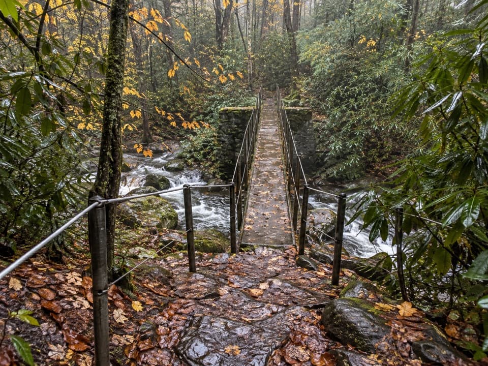 EasyThunderhead Prong Quiet Walkway1.4 mi · 45 min · At the trailheadA shaded creek walk with an old footbridge from Tremont’s logging days.
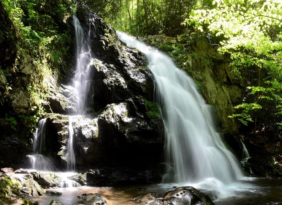 ModerateSpruce Flats Falls Trail1.8 mi · 2 hr · 1.9 mi awayA short Smokies waterfall hike with a steep, rocky finish
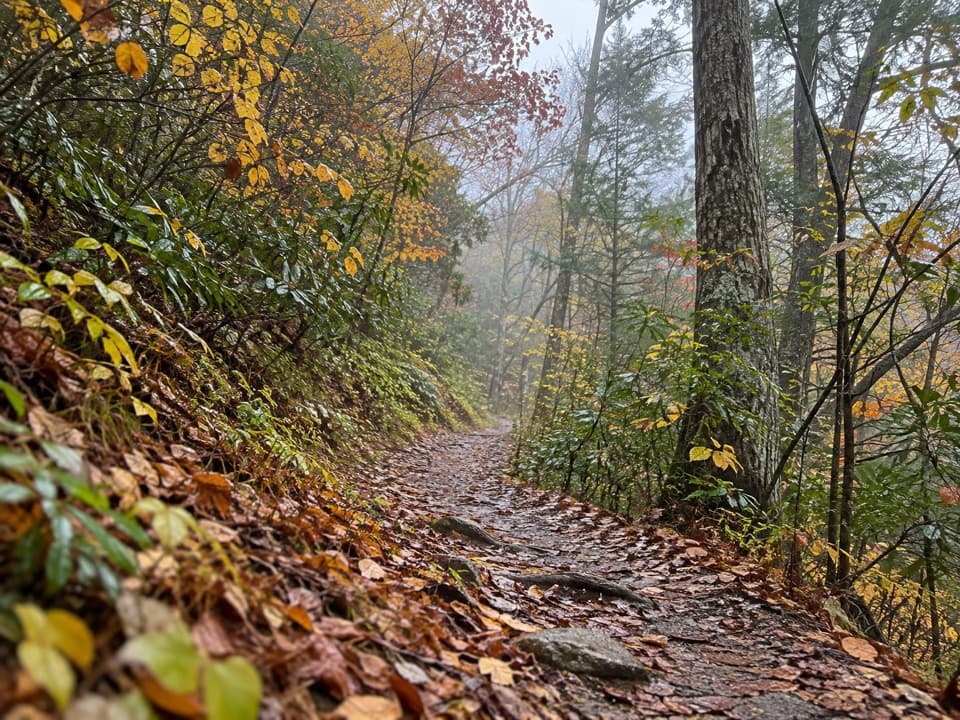 ModerateLumber Ridge Trail8.3 mi · 5 hr · 1.9 mi awayA steady forest climb to a backcountry junction and back.
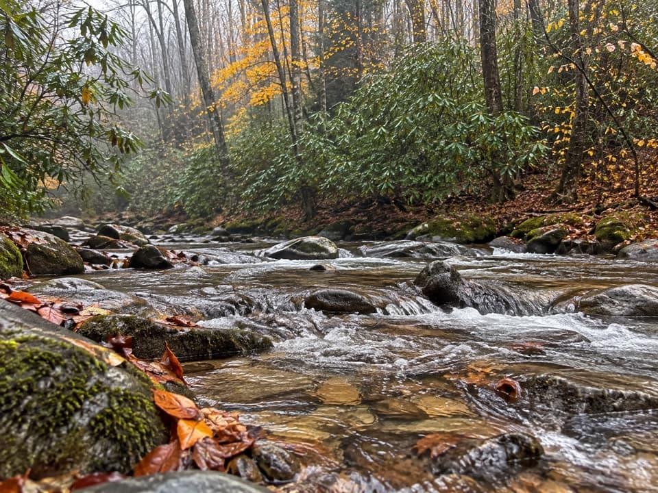 ChallengingPanther Creek Trail2.2 mi · 2.5 hr · 2 mi awayTen stream crossings on a steep backcountry connector
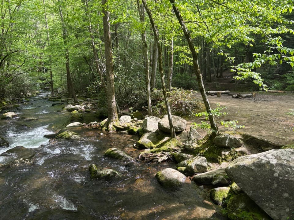 ModerateWest Prong Trail5.4 mi · 3.3 hr · 2 mi awayA steady forest climb to a riverside backcountry campsite.
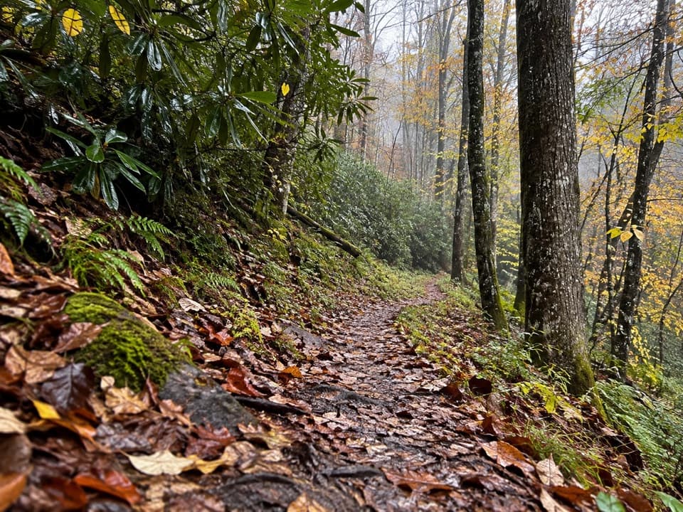 ModerateLynn Camp Prong Trail3.7 mi · 3 hr · 2.8 mi awayAn old logging grade gives way to a rocky ridge climb.
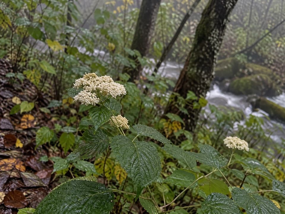 ModerateGreenbrier Ridge Trail4.2 mi · 3.5 hr · 2.8 mi awayA wildflower ridge route for hikers already deep in the backcountry.
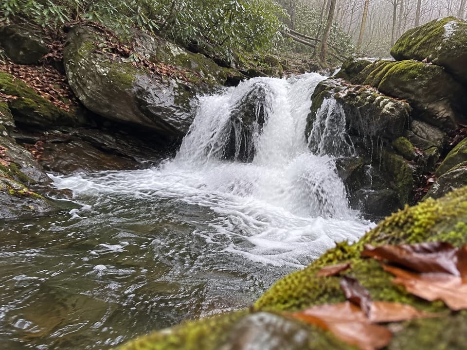 Sight · 0.5 mi awayLynn Camp Prong CascadesEasy cascades on an old railroad grade through rhododendron.Sight · 1.3 mi awaySpruce Flats FallsFour tiers of falls make this steep Tremont walk worth the effort.
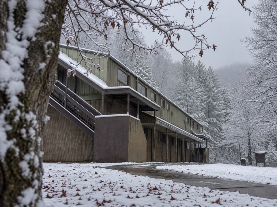 Visitor center · 2 mi awayTremont Visitor CenterA practical hike-planning stop with Smokies books and field guides.
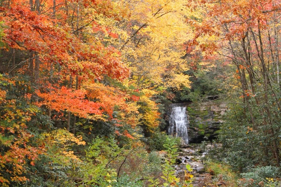 Sight · 3.6 mi awayMeigs FallsA roadside waterfall view without adding a hike.
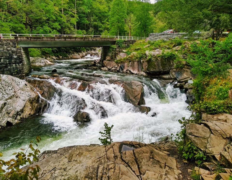 Sight · 3.6 mi awayThe SinksA logging blast opened the bend behind this rushing cascade.
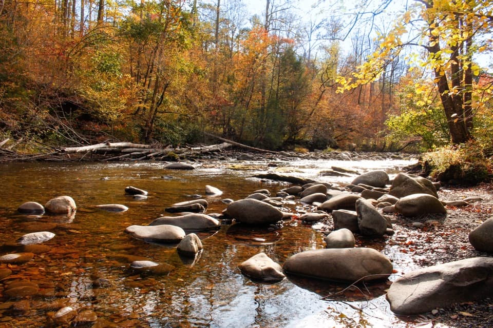 Picnic area · 4.4 mi awayMetcalf Bottoms Picnic AreaA riverside lunch pairs with a 3.4-mile schoolhouse walk.
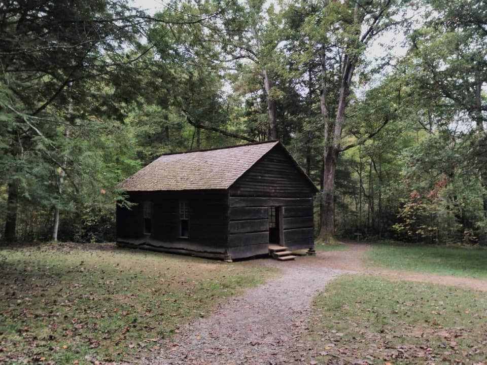 Sight · 4.8 mi awayLittle Greenbrier SchoolhouseA little log school with a big role in Smokies life.
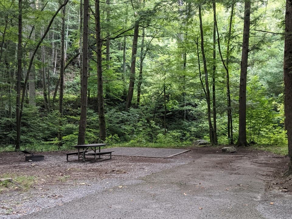 Campground · 5.5 mi awayElkmont CampgroundWooded camping, creekside sites, and a road on an old rail bed
Parkwolf’s Great Smoky Mountains ranking

The audio tour guide for the drive, plus offline maps, trails, and wildlife heatmaps for when the signal drops.





