Pros & cons
PROS
- Historic atmosphere with ruins, a cemetery, and an old dam along the way
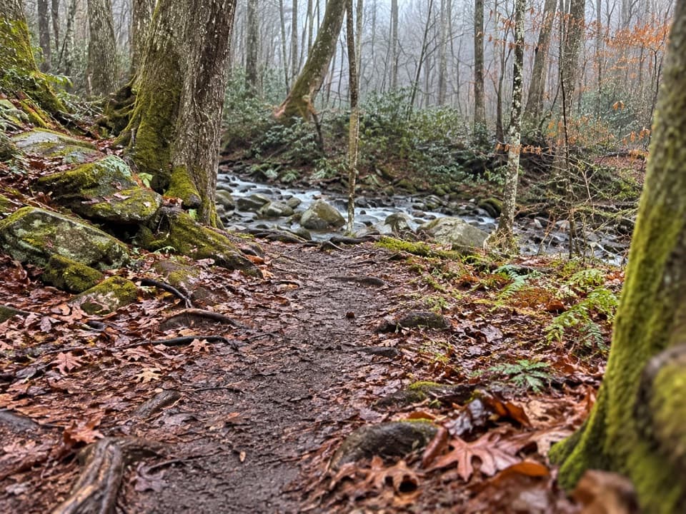
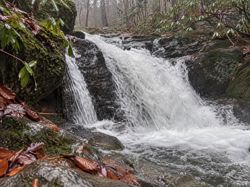
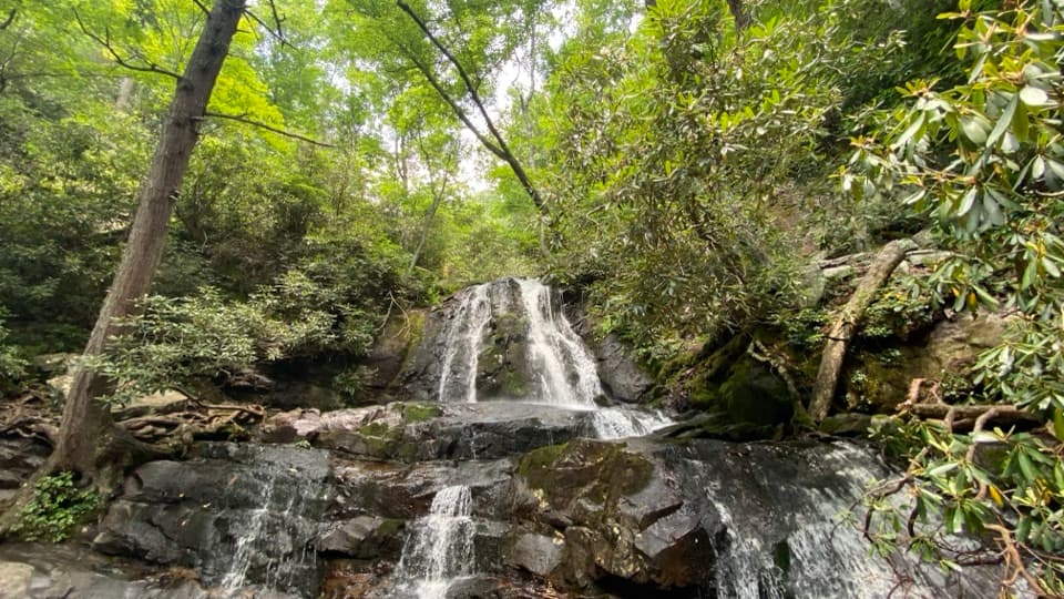
- Early waterfall and multiple photogenic creek scenes without a huge climb
CONS
- Multiple unbridged fords that can become hazardous after heavy rain
- Occasional junction confusion; a map or GPS is helpful
Park at the Jakes Creek Trailhead in Elkmont; area can fill on busy days. A paid parking tag is required if staying more than 15 minutes.
Several stream fords (bridge at Jakes Creek; others are wades) that can swell quickly after rain or snow. Slippery rocks, roots, and occasional junction confusion—carry a map/GPS. No dogs.
Overview
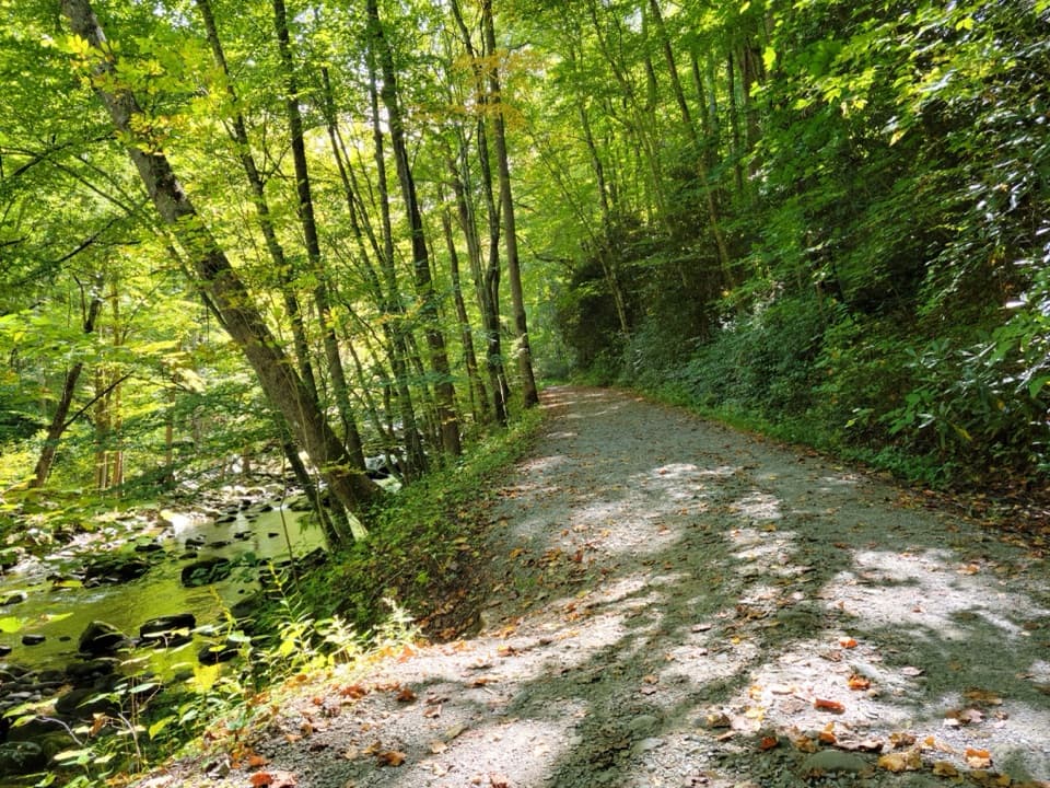
This is a peaceful, history-soaked forest hike that trades big views for a steady, rolling ridge walk and a string of creek scenes. The trail runs about 6.0 miles one way from the Elkmont area to Buckhorn Gap, with mellow grades and a moderate feel. Many hikers tackle a shorter out-and-back (often around 9–10 miles total), but you can also thru-hike it by connecting with neighboring trails. Expect a classic Smokies mix: tall hardwoods, shade, wildflowers in season, and old homesite remnants tucked among the trees.
Route and Notable Highlights
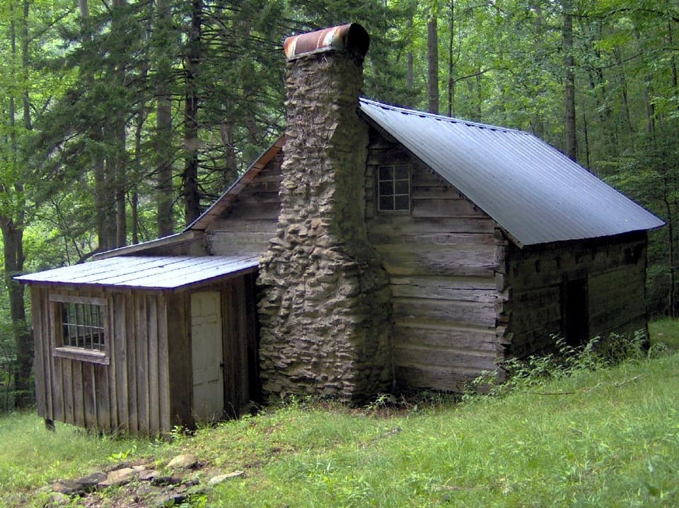
From the Jakes Creek Trailhead in Elkmont, you’ll pass 1920s-era ruins—chimneys, stone walls, and other remnants—before reaching a footbridge over Jakes Creek about 0.6 miles from the start. Just upstream sits a small waterfall. Around 1.9 miles in, near Backcountry Campsite 20, the trail drops to Blanket Creek, where you’ll find the remains of a small dam—likely tied to historic logging or early homesteading. Continuing west, you’ll encounter junctions and landmarks including the Curry Mountain junction, the Henderson homesite ruins, the Meigs Mountain Cemetery, and Backcountry Campsite 19 near the trail’s high point.
Terrain, Water, and Wildflowers
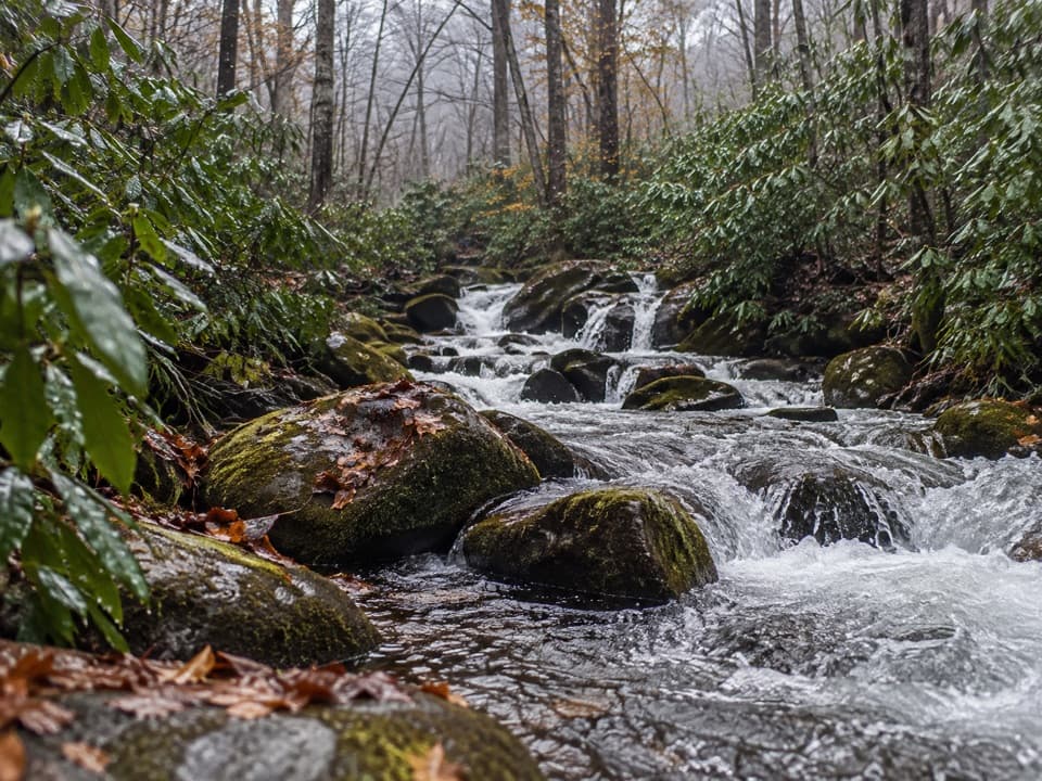
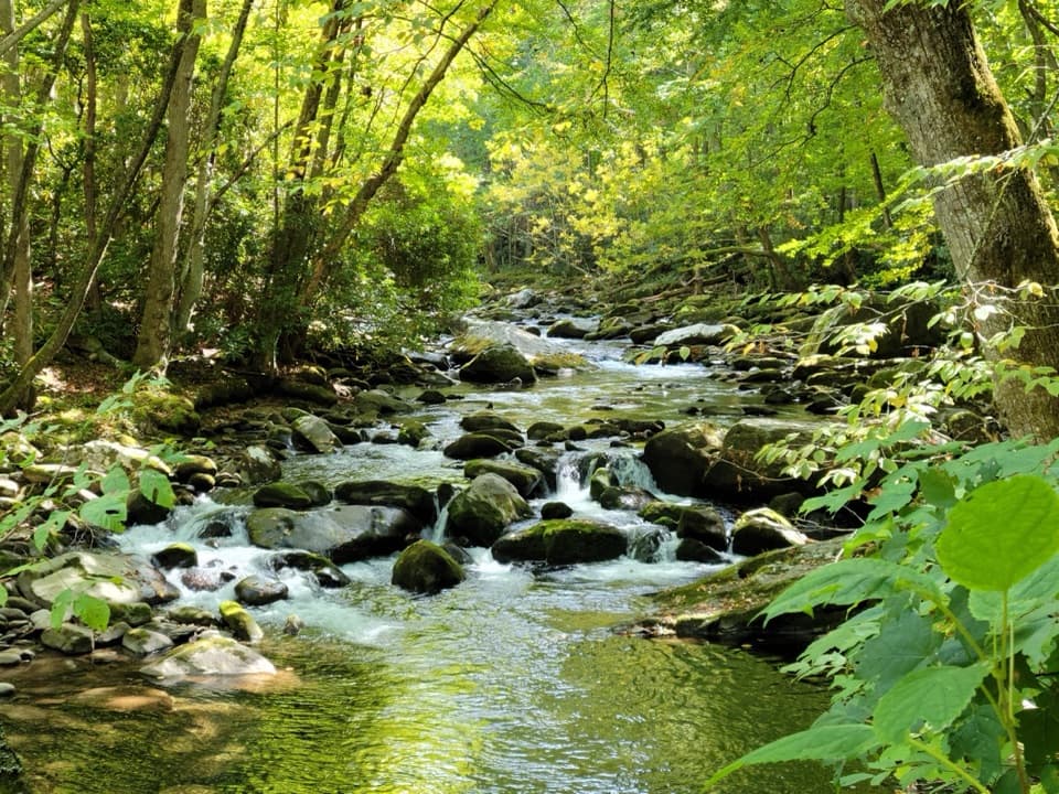
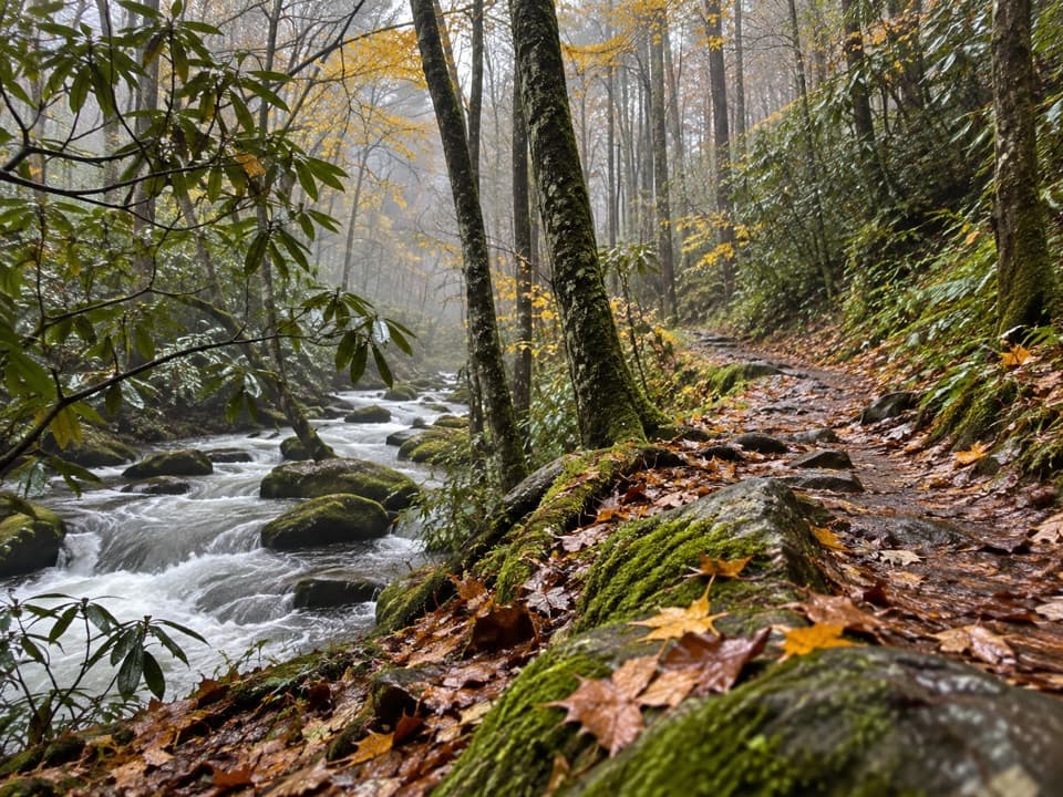
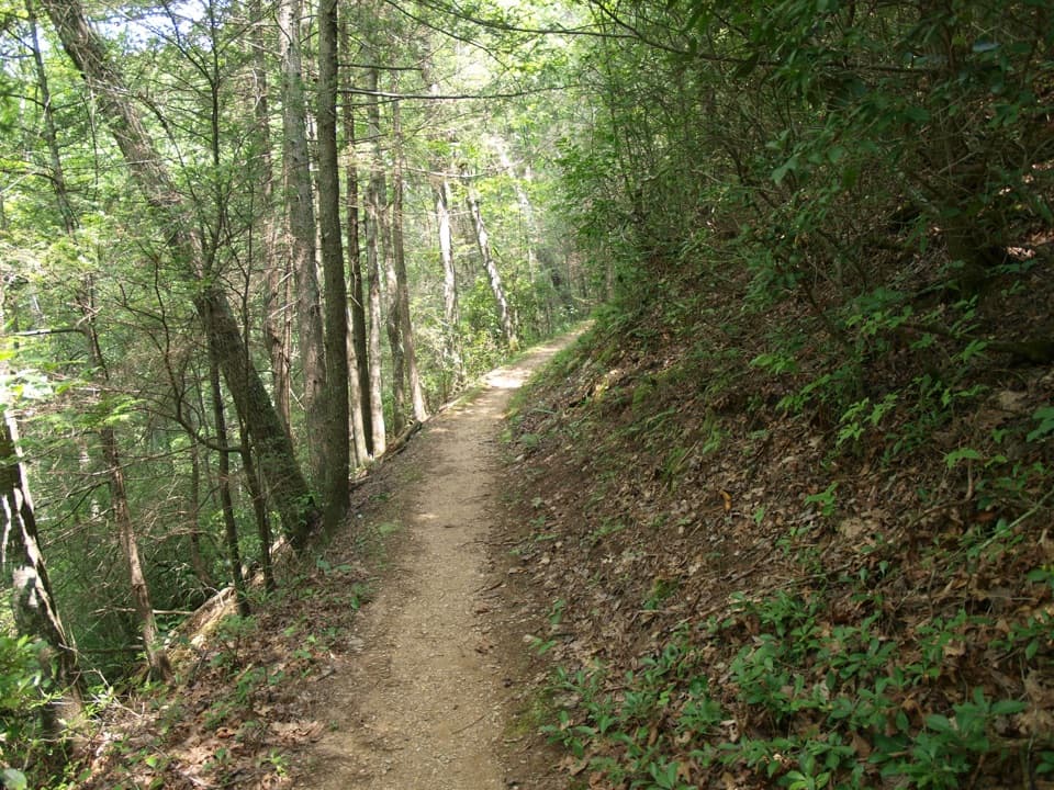
Underfoot, it’s mostly dirt singletrack with occasional rocky stretches. Jakes Creek is bridged, but there are numerous small fords elsewhere; they’re usually shallow yet can rise quickly after heavy rain or snowmelt. Spring brings pops of color—yellow trillium, violets, and Virginia bluebells—while mountain laurel commonly blooms in mid-May. Wildlife sightings are part of the draw; keep an eye out and give all animals plenty of space.
What to Expect
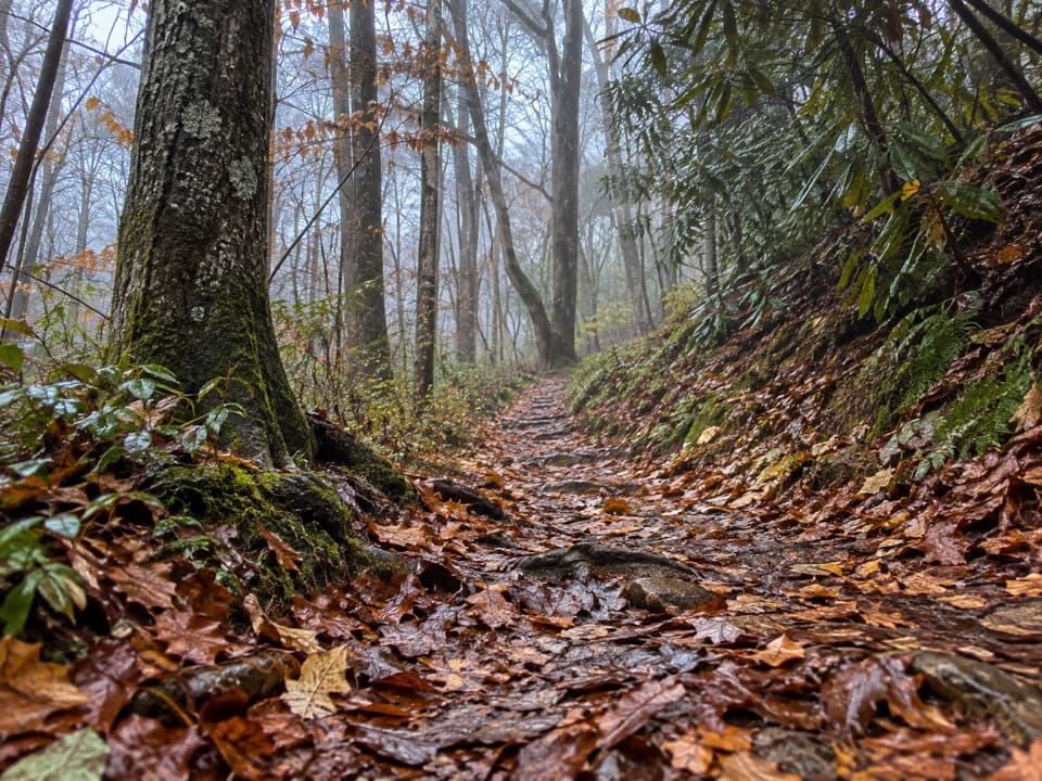
This is a "journey" trail: more about quiet woods, creeks, and history than a single marquee overlook. It’s generally moderate—gradual climbs, some roots and rocks, and the occasional slippery crossing. Navigation is straightforward overall, but some hikers report momentary confusion at junctions or near old roads, so bring a good map or GPS just in case.
Best Time to Hike
Open year-round. Spring is superb for wildflowers and flowing creeks. Summer brings humidity and common afternoon storms—start early to beat heat and crowds. After any soaking rain or snow, expect higher, swifter creek crossings and plan footwear accordingly. Weekdays and shoulder seasons amplify the solitude factor.
Tips and Logistics
- Parking is at the Jakes Creek Trailhead in Elkmont; this area can fill on busy, warm-season days. A parking tag is required if you’ll be there more than 15 minutes.
- No dogs on this trail.
- Trekking poles and waterproof footwear make creek fords easier; reassess crossings if water is high.
- Backcountry camping is available at Campsites 20 and 19; follow park rules and secure any required permits/reservations before your trip.
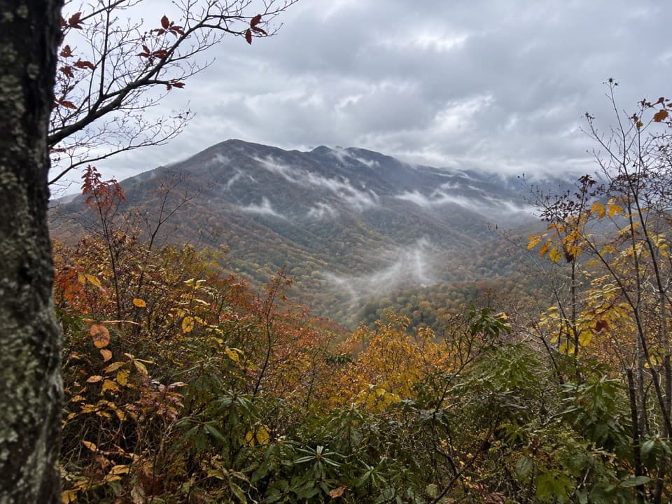
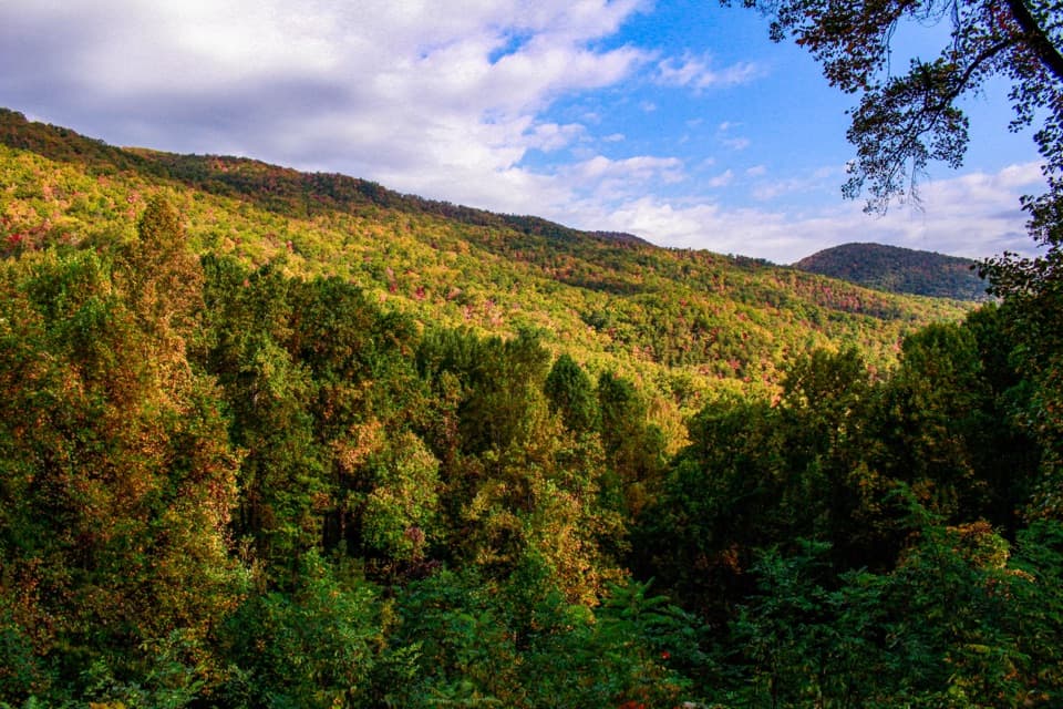
If you’re after sweeping, above-the-trees vistas, this isn’t the best fit. If you want a quiet, classic Smokies wander with ruins, wildflowers, and splashy stream work, it’s an underrated gem.
Wildlife on this trail
Near Meigs Mountain Trail
All places →All trails →
Kuwohi (Clingmans Dome)Highest Smokies peak with a 360° tower and sweeping ridgeline viewsTrailhead · Parking
Clingmans Dome Observation Tower360-degree Smokies views from a futuristic Mission 66 towerParking · Restroom
LeConte LodgeHike-in mountaintop lodge with hearty meals and knock-out viewsLodging · Food
Mount Le ContePanoramic ridges and a hike-in lodge reward a stout climbScenic Viewpoint · Lodging
Appalachian Trail (GSMNP section)72 rugged ridge miles with towers, classic knobs, and big views.Challenging · 72 mi · 168 hr
Alum Cave TrailStreamside climb to Arch Rock, big views, and a towering bluffModerate · 4.6 mi · 3 hr
Gregory Ridge TrailSteep, shaded grind to a flower studded bald with huge views.Challenging · 11.1 mi · 6.4 hr
Clingmans Dome TrailShort, steep paved climb to 360° views from the Smokies’ rooftopEasy · 1 mi · 48 min