Parking
Use the Porters Creek Trailhead parking area in Greenbrier. From US 321, follow Greenbrier Road about 3.1 miles to the fork, stay straight, then continue nearly another mile. The final approach is gravel.
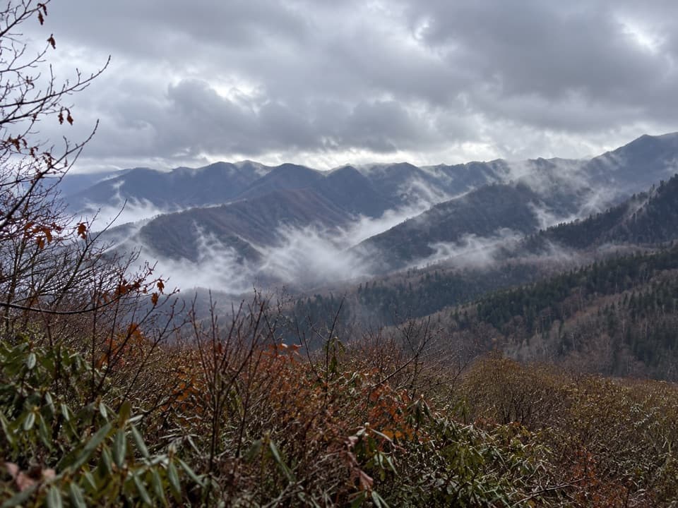
Great Smoky Mountains National Park, TN · NC
A hard Greenbrier climb to two open summit views
Overview
Brushy Mountain Trail from Greenbrier is an 11.7-mile out-and-back from Porters Creek Trailhead. It follows Porters Creek past old-settlement remains, then climbs the north flank of Mount Le Conte to Brushy Mountain’s heath bald and two small viewpoints. Allow 8 to 10 hours for roughly 3,000 feet of climbing. Choose it for a long day with history and open summit views; Porters Creek itself is the shorter outing from this same access.
 Parkwolf’s verdictIs this the full-day hike for you?
Map & elevation
Plan your hike

The highest, rockiest slopes around here are a summer buffet for grizzly bears.
Great Smoky Mountains Tour Guide
Parkwolf is a GPS audio tour guide for Great Smoky Mountains National Park. As you drive, it chimes in with what’s ahead: hidden gems, upcoming stops, history, geology, and wildlife, right through your car’s speakers.
See the Great Smoky Mountains audio tourRecorded for this trailhead
Porters Creek and Fern Branch Falls“You're nearing the Porters Creek trailhead, where an old farm road passes stone walls and Ownby Cemetery. For a shorter history walk, take the spur near the one-mile mark to the Messer barn, with its overhanging hayloft.”
Plays as you drive up to this trailhead in the Parkwolf Great Smoky Mountains Tour Guide.
More stories near here in the app
“Fantastic app with many points of information… It’s great to just turn on while you’re driving and it gives you an audio tour of the national Park. We love it!!!!”


Trail guide
The first mile follows the old gravel road beside Porters Creek. At about two-thirds of a mile, stone walls and Ownby Cemetery sit on the right. Near the one-mile mark, a short spur reaches the John Messer farm site; return to Porters Creek Trail, then take the right-hand Brushy Mountain junction when it appears. The left spur at that junction leads toward Fern Branch Falls.
The long climb brings you to Trillium Gap after roughly 4.5 miles from the Brushy Mountain junction. Turn right toward Brushy Mountain; left continues toward Mount Le Conte.
From the Porters Creek junction, the ascent to Trillium Gap gains about 2,500 feet over roughly 4.5 miles. The summit spur adds about 0.4 mile. Expect a sustained uphill day, followed by the same route back to the trailhead; there is no loop.
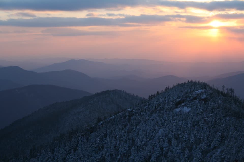
The summit opens into a small clearing surrounded by rhododendron, mountain laurel and other heath shrubs. The first view looks east and southeast across the ridges toward Charlies Bunion, Mount Sequoyah, Mount Chapman and Mount Guyot. Continue about 50 feet for a different view north over Webb Mountain, Greenbrier and Pigeon Forge. For a photo, leave some of the heath in the foreground so the ridge panorama still feels rooted in this small bald.
Stone walls and Ownby Cemetery are remnants of the earlier Porters Creek settlement. The Messer farm site is a short side trip before the climb: it includes a cantilevered barn dating to about 1875 and a cabin the Smoky Mountain Hiking Club built in the 1930s. Club members used the cabin for overnight stays until 1981.
From US 321, follow Greenbrier Road about 3.1 miles to the fork, stay straight, and continue nearly another mile to the Porters Creek Trailhead parking area. The final approach is gravel. Pets aren’t allowed on this route.
The 6.8-mile approach from Trillium Gap and Grotto Falls is a separate hike. These miles start in Greenbrier and include the Porters Creek approach.
Wildlife
 1,566 sightingsBlack BearMost seen around 7 PMSighting map
 899 sightingsElkMost seen around 7 AMSighting map
 13 sightingsBald EagleMost seen around 9 AMSighting map
 142 sightingsTimber RattlesnakeMost seen around 6 PMSighting map
 26 sightingsBobcatMost seen around 8 PMSighting map
 42 sightingsRiver OtterMost seen around 7 AMSighting map
Sighting maps show where each species has been reported across Great Smoky Mountains. Wildlife moves, so no sighting is guaranteed.
Keep exploring
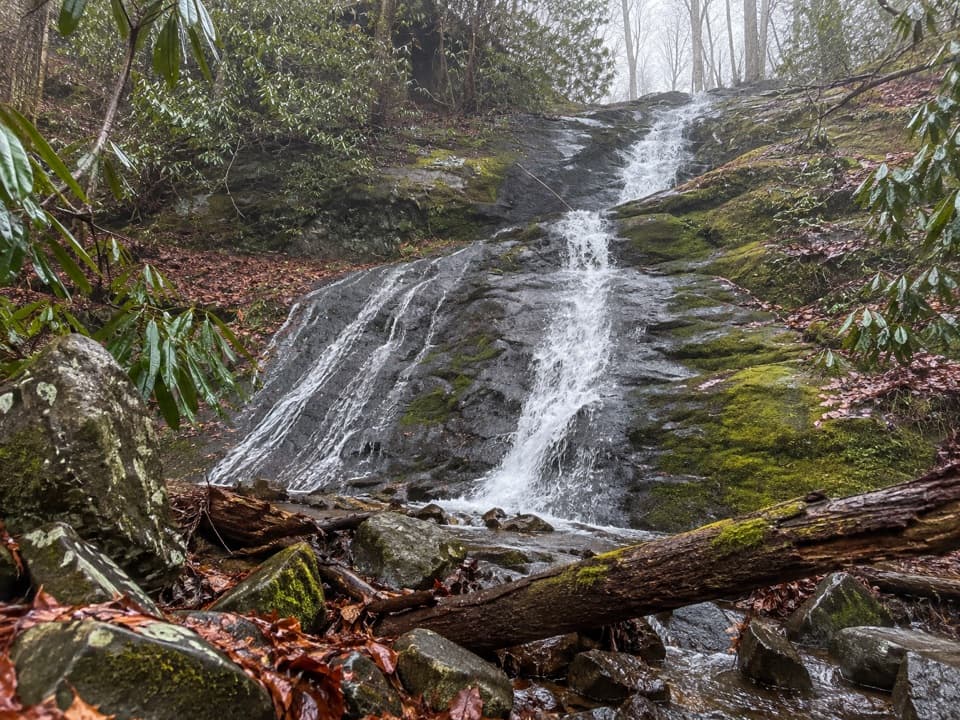 ModeratePorters Creek Trail7.2 mi · 3.5 hr · At the trailheadCreekside miles lead past old farms to Fern Branch Falls.
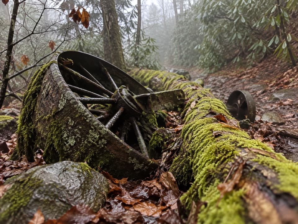 ModerateGrapeyard Ridge Trail7.5 mi · 5.5 hr · 0.8 mi awayFive creek crossings and a rusting engine tucked in the woods.
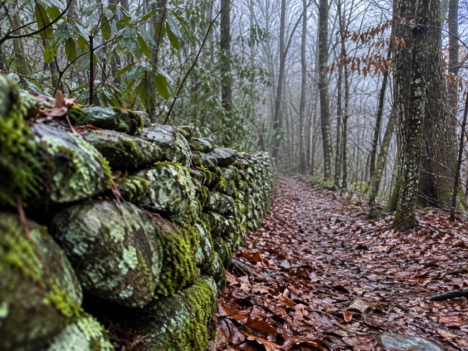 ChallengingOld Settlers Trail15.8 mi · 10 hr · 0.9 mi awayA long traverse through stone walls, creek hollows and Smokies history.
 ChallengingRamsey Cascades Trail8 mi · 6 hr · 1.7 mi awayFour miles uphill to the Smokies' tallest waterfall
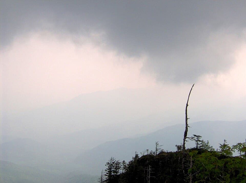 EasyMyrtle Point Trail0.7 mi · 45 min · 4 mi awayA sunrise detour reached only after the climb to Mount Le Conte
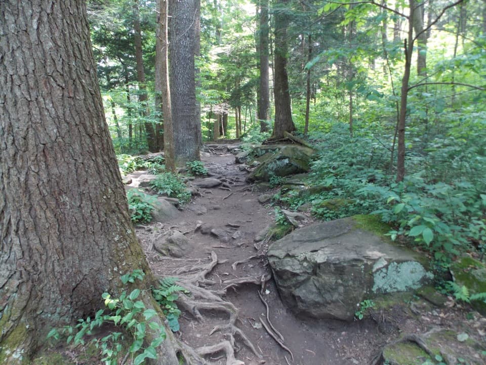 ChallengingBrushy Mountain via Trillium Gap Trail6.8 mi · 4.5 hr · 4.3 mi awayA waterfall walk climbs to a heath bald with two views.
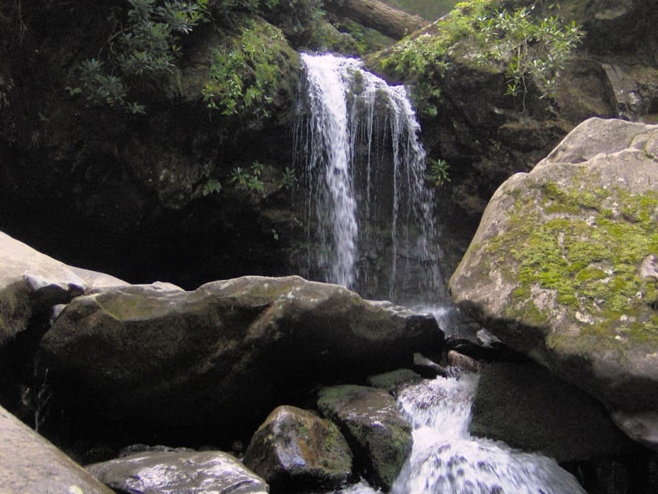 ChallengingTrillium Gap Trail to Mount Le Conte13 mi · 9 hr · 4.4 mi awayA long climb to Le Conte, with Grotto Falls along the way.
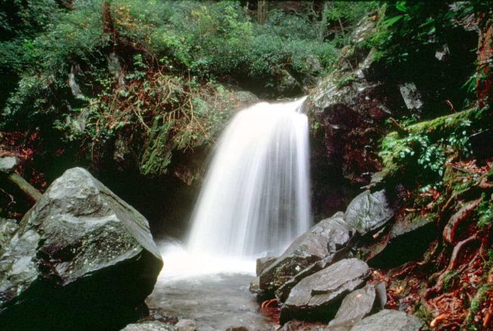 ModerateGrotto Falls Trail2.6 mi · 2.5 hr · 4.4 mi awayA shaded 2.6-mile walk to a waterfall you can walk behind.
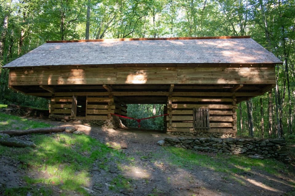 Sight · 0.9 mi awayJohn Messer BarnA rare cantilever barn, a mile up Porter’s Creek Trail.
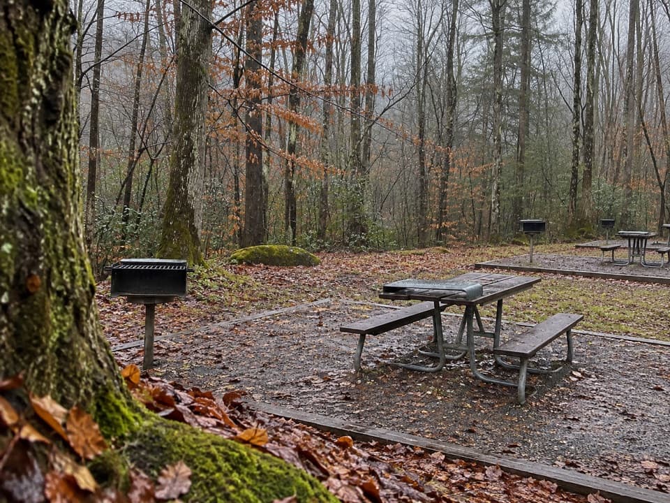 Picnic area · 1.1 mi awayGreenbrier Picnic AreaShady picnic tables and charcoal grills beside the Little Pigeon River.
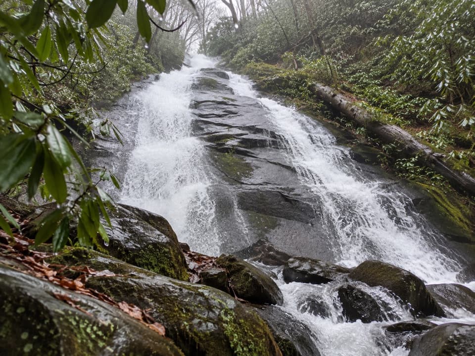 Sight · 1.5 mi awayFern Branch FallsWaterfall, old homesteads and spring flowers make the four miles count.Sight · 3.8 mi awayGrotto FallsWalk behind a 25-foot waterfall on a shaded stream-crossing hike.Sight · 3.9 mi awayMyrtle PointA serious hike earns one of Le Conte's best signed views.
 Sight · 4.1 mi awayCharlies BunionEight miles through forest to a raw, rocky mountain perch.
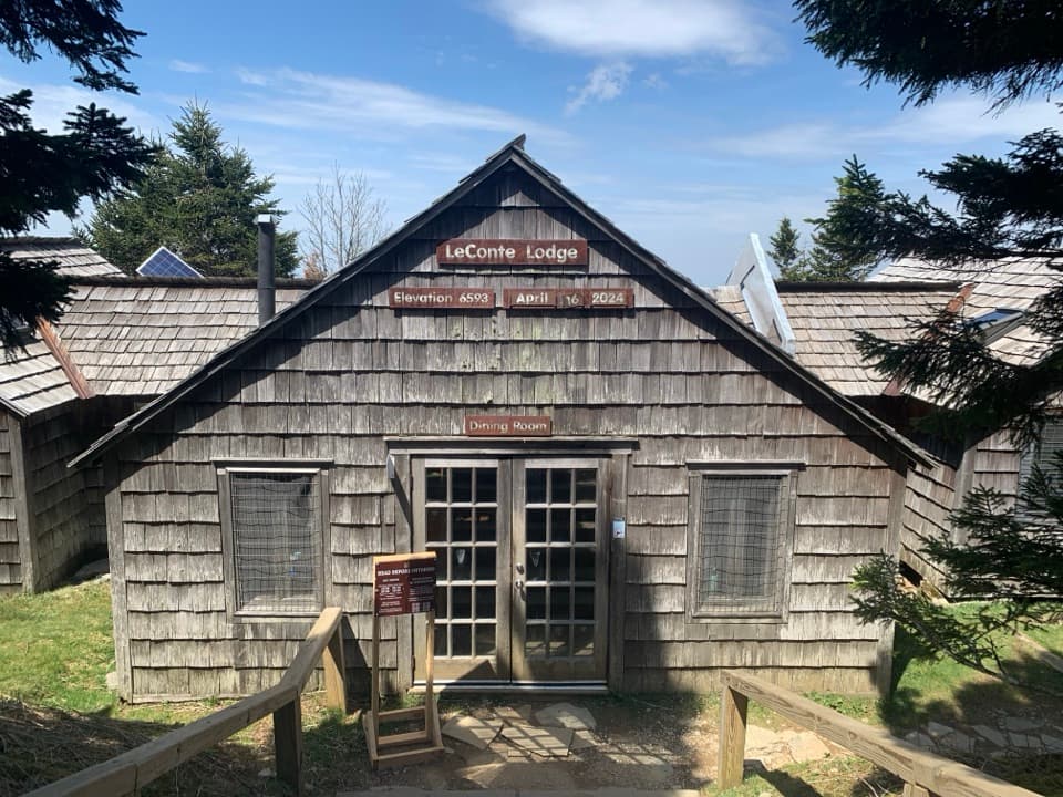 Lodging · 4.2 mi awayLeConte LodgeA historic hike-in lodge on Mount LeConte with family-style meals.
 Sight · 4.3 mi awayCliff Tops ViewpointA wide LeConte panorama, best saved for sunset.
Parkwolf’s Great Smoky Mountains ranking
The audio tour guide for the drive, plus offline maps, trails, and wildlife heatmaps for when the signal drops.



