Parking
There is no road or parking access at the Eagle Creek start. Reach the Lakeshore Trail junction near campsite 90 by boat across Fontana Lake or by hiking Lakeshore Trail from Fontana Dam (about 5.5–6.1 miles by approach).
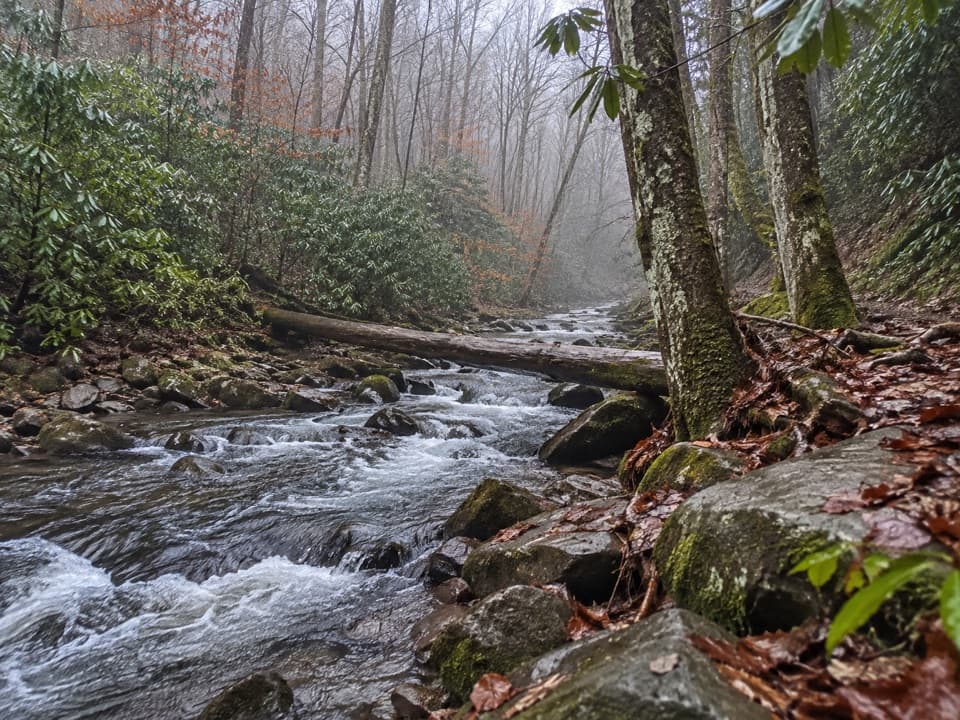
Great Smoky Mountains National Park, TN · NC
A rugged creek-to-ridge traverse ending above Cades Cove.
Overview
Map & elevation
Plan your hike

The highest, rockiest slopes around here are a summer buffet for grizzly bears.
Great Smoky Mountains Tour Guide
Parkwolf is a GPS audio tour guide for Great Smoky Mountains National Park. As you drive, it chimes in with what’s ahead: hidden gems, upcoming stops, history, geology, and wildlife, right through your car’s speakers.
See the Great Smoky Mountains audio tourMore stories near here in the app
“Fantastic app with many points of information… It’s great to just turn on while you’re driving and it gives you an audio tour of the national Park. We love it!!!!”


Trail guide
Eagle Creek Trail is an 8.6-mile one-way, point-to-point backcountry route from the Lakeshore Trail junction near campsite 90 to the Appalachian Trail at Spence Field. It follows a wooded creek valley, then climbs steadily and steeply toward the ridge. Expect about 3,100 feet of net climbing and roughly six to seven hours on the named trail; the remote access and onward travel add more. This is a serious through-hike, not a short walk from a roadside trailhead.
There is no road at the south end. Reach the Lakeshore junction near campsite 90 by boat across Fontana Lake, or hike in on Lakeshore Trail from Fontana Dam; published approach estimates range from about 5.5 to 6.1 miles. Eagle Creek ends at the Appalachian Trail near Spence Field. From there, a short walk east along the AT opens onto Spence Field, with a view toward Cades Cove. Arrange a boat, a connecting hike, or a return along Eagle Creek: retracing the named trail makes the Eagle Creek portion about 17.3 miles round trip, before the access walk. Overnight stays at the park's designated backcountry sites and shelters need an advance reservation and permit.
The lower trail stays close to Eagle Creek. About half a mile beyond campsite 90 it reaches a footlog crossing with a handrail; near 0.7 mile is the Pinnacle Creek junction, followed about a quarter mile later by another Eagle Creek crossing without a bridge. The first 4.6 miles include at least 15 stream crossings. Campsite 89 is around mile 1.6; beyond it, Ekaneetlee Creek is a rock hop. Campsite 96 sits on an island around mile 2.6, and reaching its bathroom means fording back across the creek. These crossings are the main challenge here, especially after high water.
The trail keeps following the creek before turning uphill toward the Appalachian Trail. The grade gets steeper in the upper section, and the rock hop at Gunna Creek around mile 6.2 is described as difficult. The route passes Spence Field Shelter near its upper end; continue about 0.1 mile east on the AT to the open field and its view across toward Cades Cove. High water can make the crossings unsafe, so check current trail conditions before committing to this remote route.
Wildlife
 1,569 sightingsBlack BearMost seen around 7 PMSighting map
 900 sightingsElkMost seen around 7 AMSighting map
 13 sightingsBald EagleMost seen around 9 AMSighting map
 142 sightingsTimber RattlesnakeMost seen around 6 PMSighting map
 26 sightingsBobcatMost seen around 8 PMSighting map
 42 sightingsRiver OtterMost seen around 7 AMSighting map
Sighting maps show where each species has been reported across Great Smoky Mountains. Wildlife moves, so no sighting is guaranteed.
Keep exploring
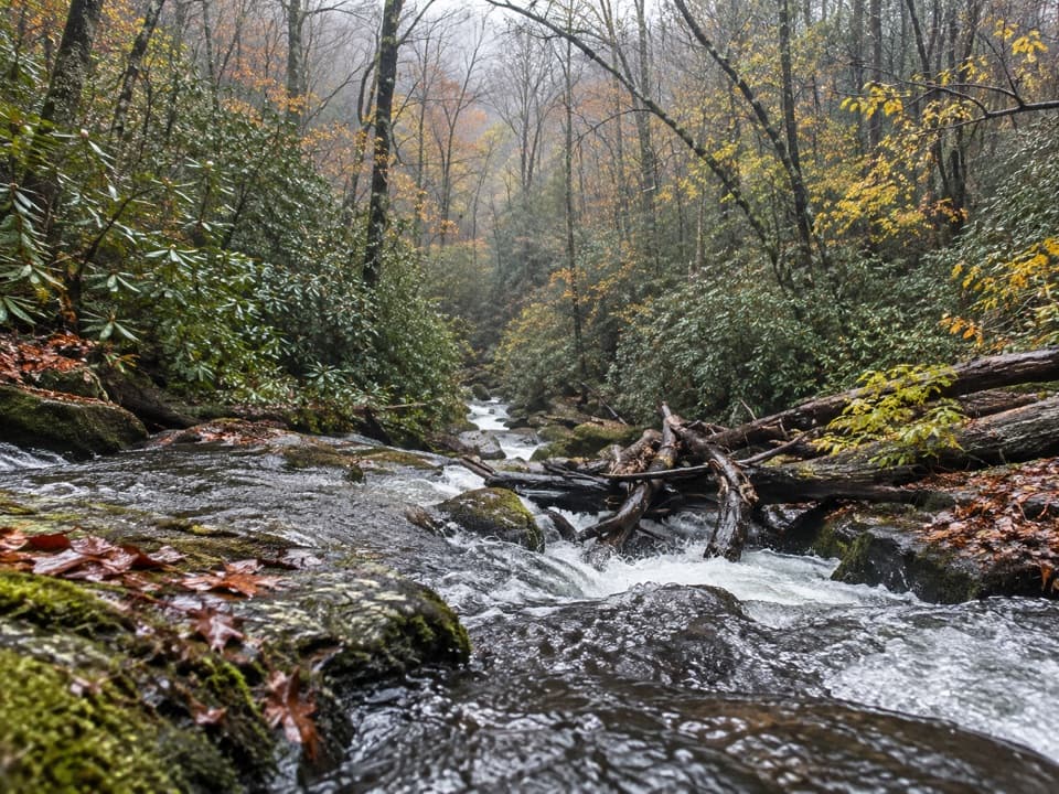 ChallengingLost Cove Trail2.7 mi · 2 hr · 2.3 mi awayA steep, shaded descent from the A.T. to Lakeshore Trail.
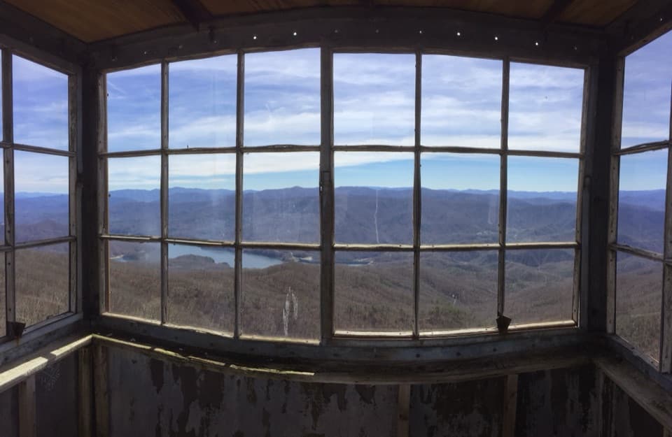 ChallengingShuckstack Fire Tower Trail6.8 mi · 5.5 hr · 2.8 mi awayA steep Appalachian Trail climb ends at a tower above Fontana Lake
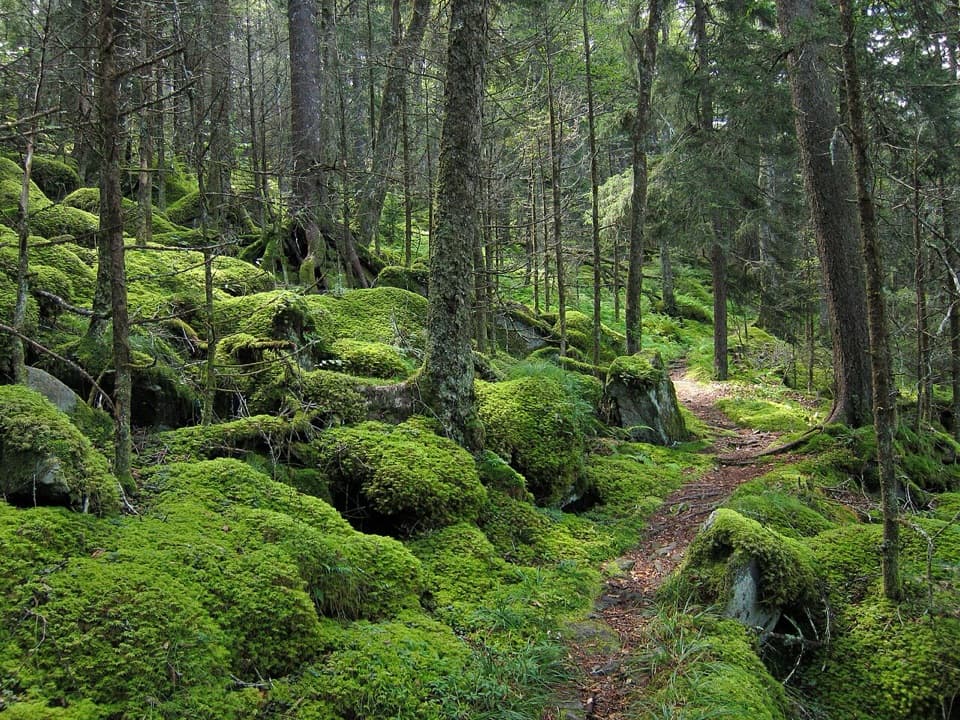 ChallengingBenton MacKaye Trail93.4 mi · 3.3 days · 3 mi awayA 93-mile Smokies crossing from Fontana Dam to Big Creek.
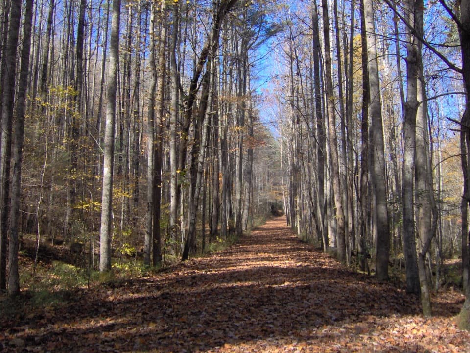 ChallengingHazel Creek Trail15.2 mi · 9 hr · 3 mi awayA remote creek corridor past Proctor, climbing to Welch Ridge.
 ChallengingAppalachian Trail71.1 mi · 2 days · 3 mi awayA week on the high ridge, with spruce-fir and rocky overlooks.
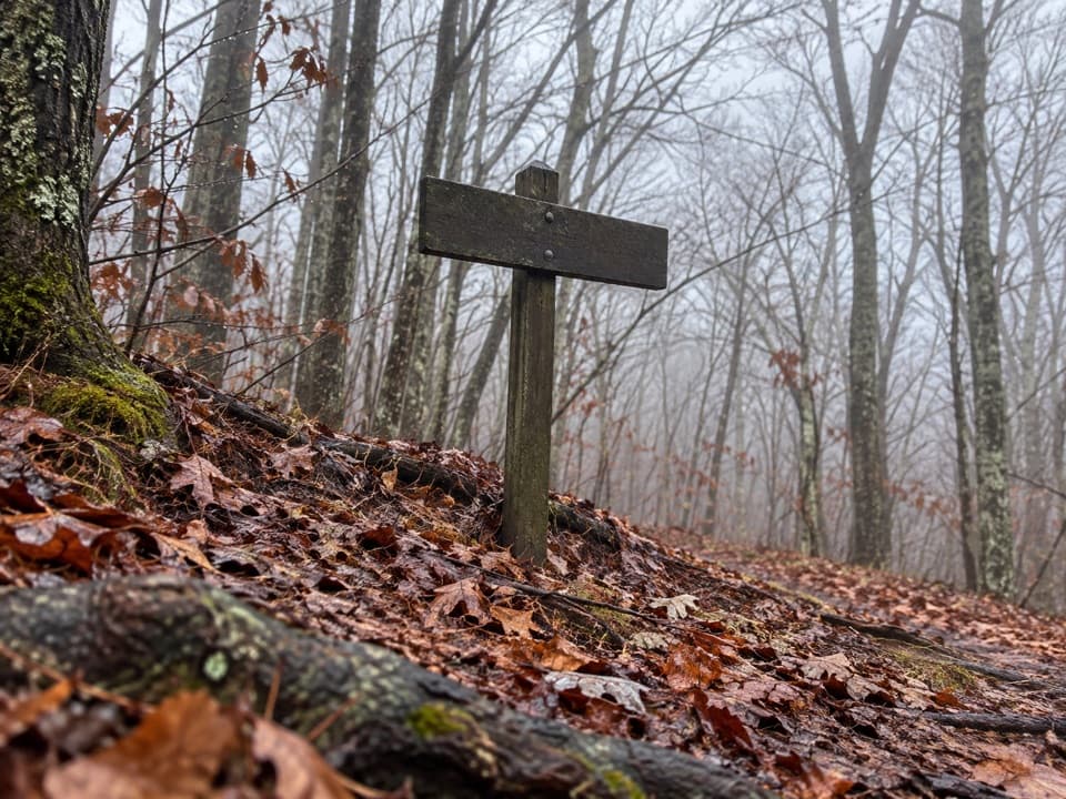 ChallengingLong Hungry Ridge Trail4.6 mi · 3.5 hr · 3.6 mi awayA backcountry ridge link with several unbridged creek crossings.
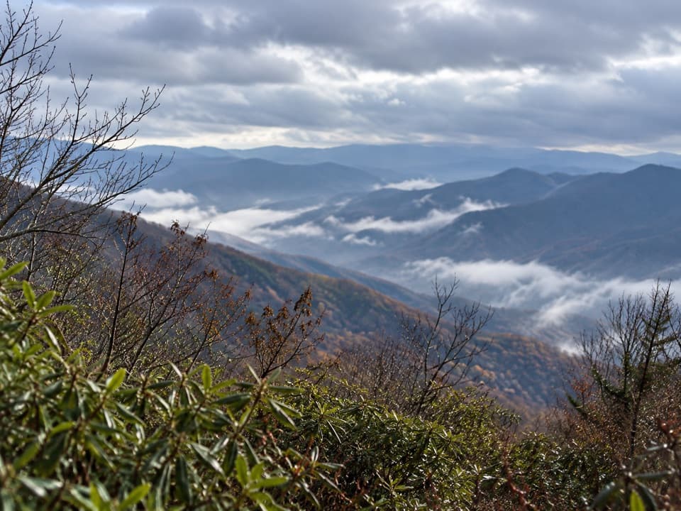 ChallengingJenkins Ridge Trail8.8 mi · 6 hr · 4.8 mi awayA strenuous 8.8-mile backcountry climb to Spence Field.
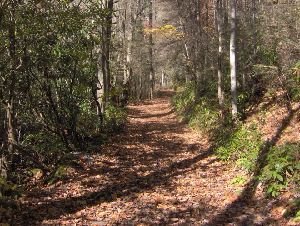 ModerateBone Valley Trail3.6 mi · 2.5 hr · 5.3 mi awayAn old logging grade leads through creek crossings to a family cabin.Sight · 2.3 mi awayShuckstack Fire TowerA ridge climb ends at a steel lookout above Fontana Lake.
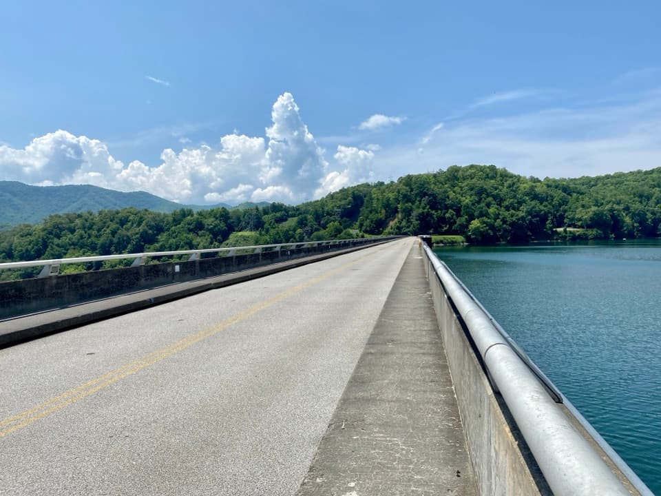 Sight · 3 mi awayFontana DamA 480-foot dam doubles as an Appalachian Trail crossing.
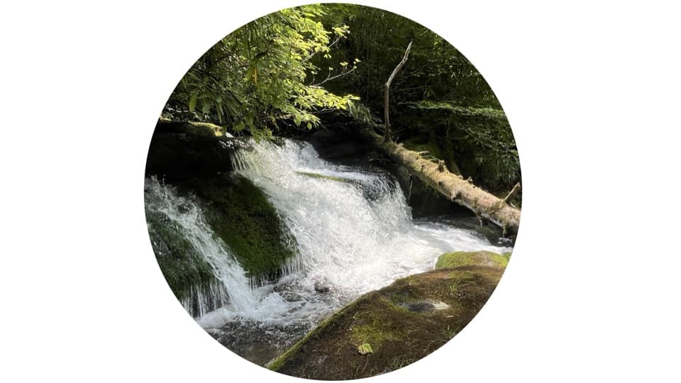 Sight · 5.5 mi awayTwentymile CascadeA short creekside walk to a 22-foot sandstone cascade.
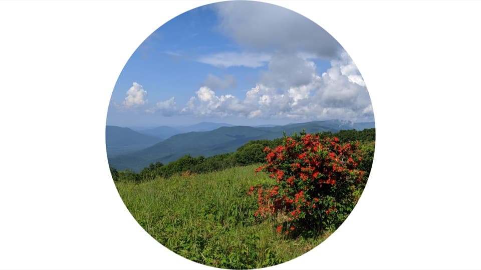 Sight · 5.6 mi awayGregory BaldAn open summit of flame azaleas, earned by a long Smokies hike.
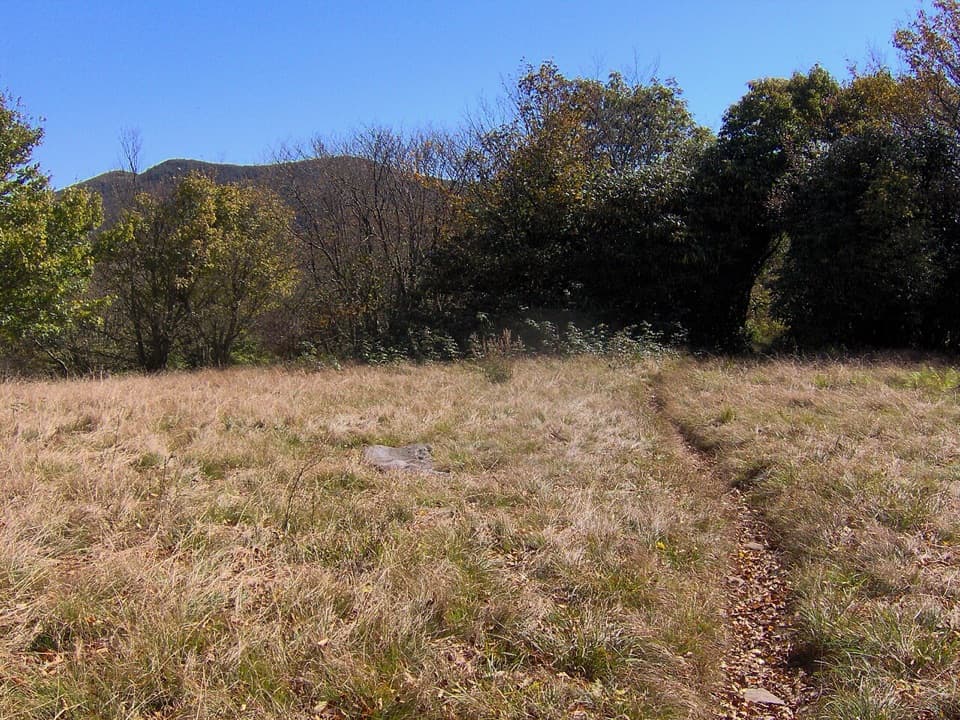 Sight · 5.7 mi awaySpence FieldA grassy crest meadow with June laurel and a grazing past.
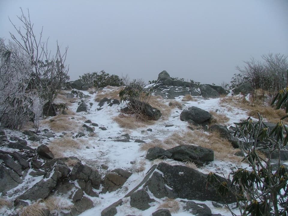 Sight · 6.2 mi awayRocky TopA rocky Appalachian Trail summit with broad western Smokies views.
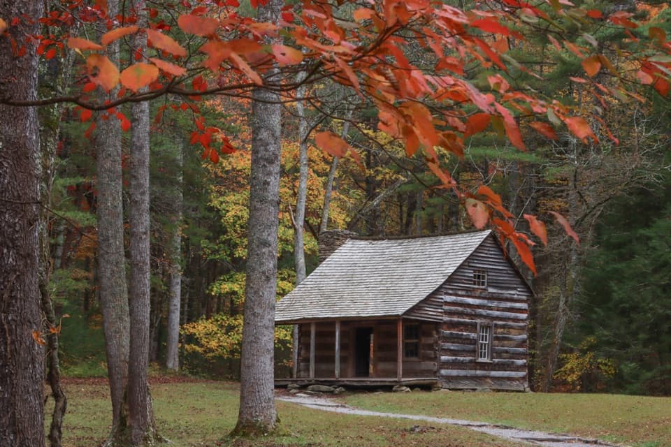 Sight · 7.1 mi awayCarter Shields CabinA last-loop homestead cabin with a stream just behind it.
 Sight · 7.2 mi awayHenry Whitehead PlaceSpot the “granny hole” in Cades Cove’s older cabin.
Parkwolf’s Great Smoky Mountains ranking

The audio tour guide for the drive, plus offline maps, trails, and wildlife heatmaps for when the signal drops.




