Place · 0.1 mi away
Challenging

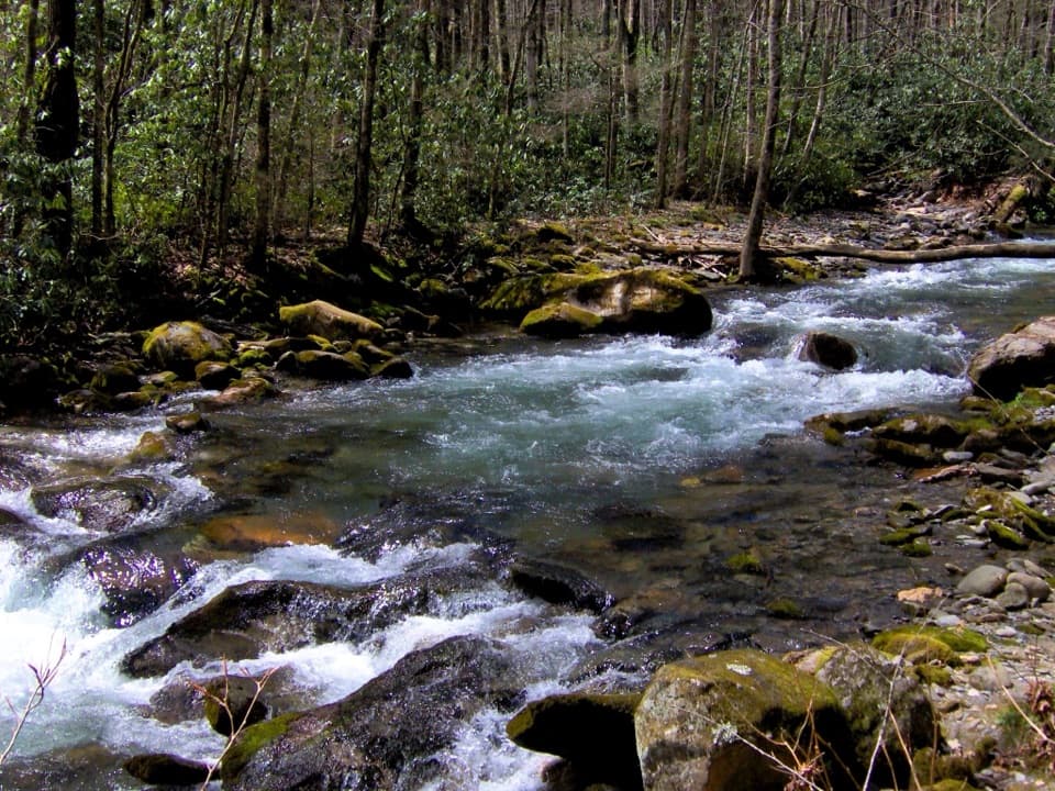
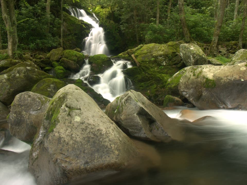
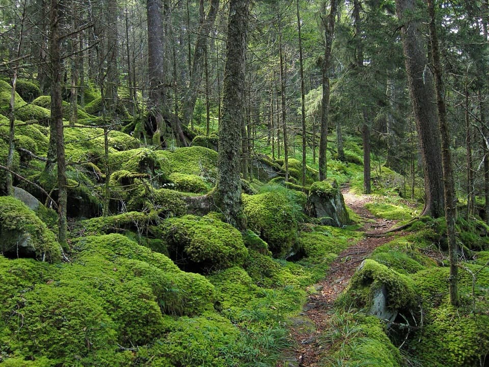
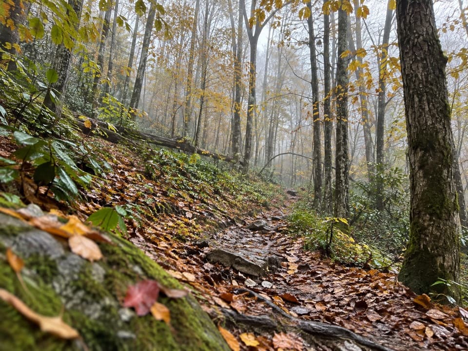
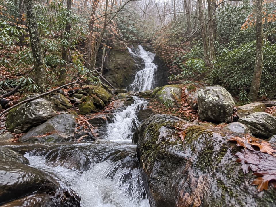
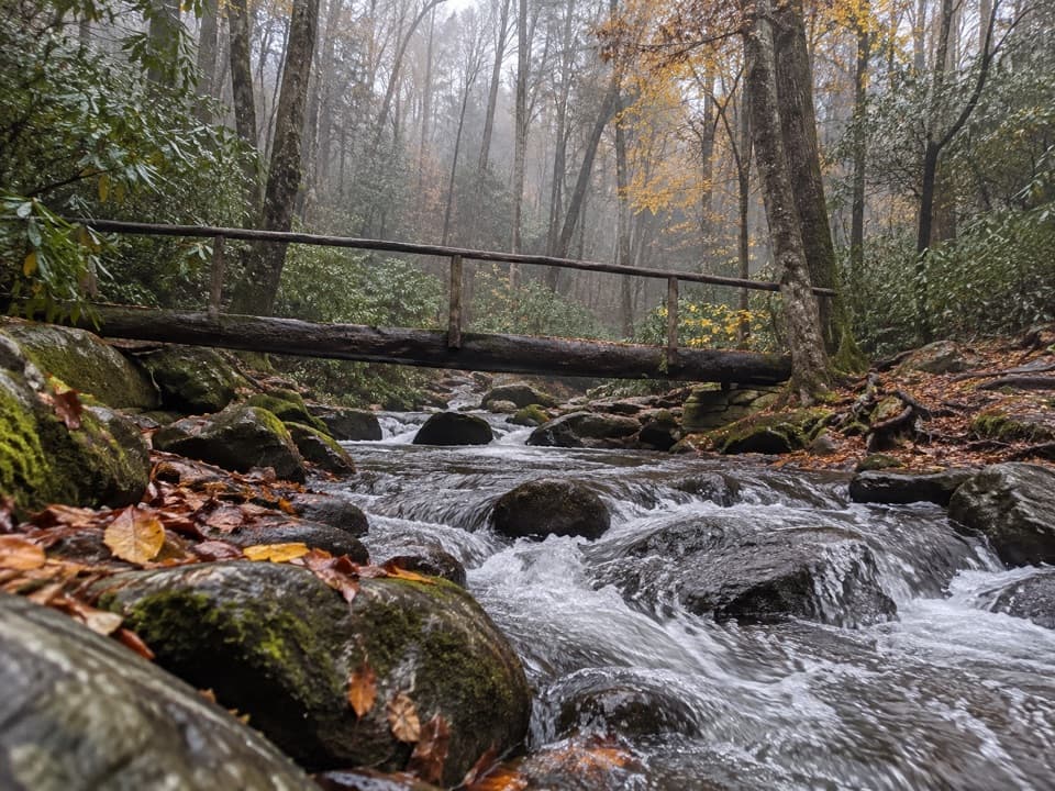
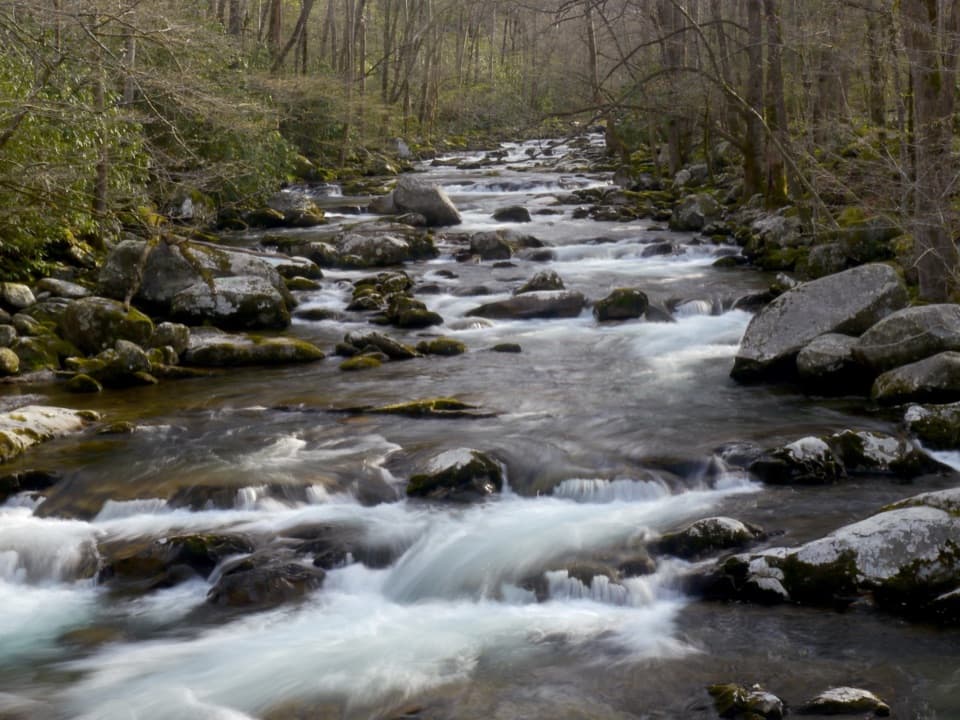
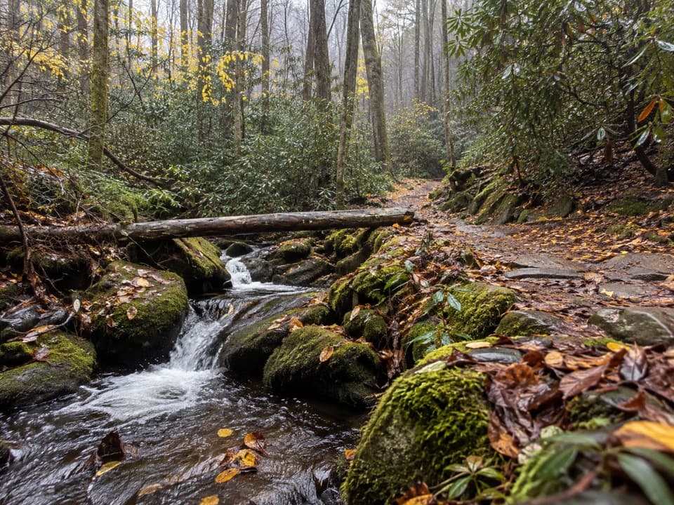
Chestnut Branch is a short, punchy connector that climbs from the Big Creek Ranger Station up to the Appalachian Trail. If you’re just doing Chestnut Branch itself, plan on about 4.2 miles total out-and-back to the AT junction (roughly 2.1 miles one way) with around 1,200–1,300 feet of elevation gain. It’s a consistently uphill walk shaded by rhododendron and mature hardwoods, with mossy rock gardens and the sound of a lively creek for company. Expect a steeper final push before you pop onto the AT.
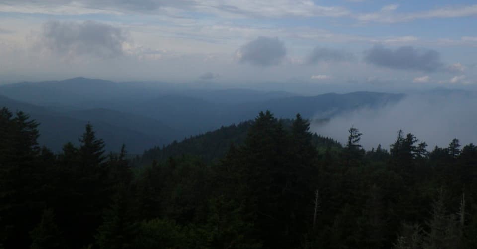
This is the quickest footpath from Big Creek to the Appalachian Trail and a popular first leg toward Mount Cammerer. On its own, it’s a quiet, green tunnel of a hike—no big views here—but the forest ambiance, cool shade, and creekside feel make it a satisfying workout. Keep an eye out for remnants of old homesteads (rock walls, posts, metal artifacts). They’re protected—look, don’t touch.
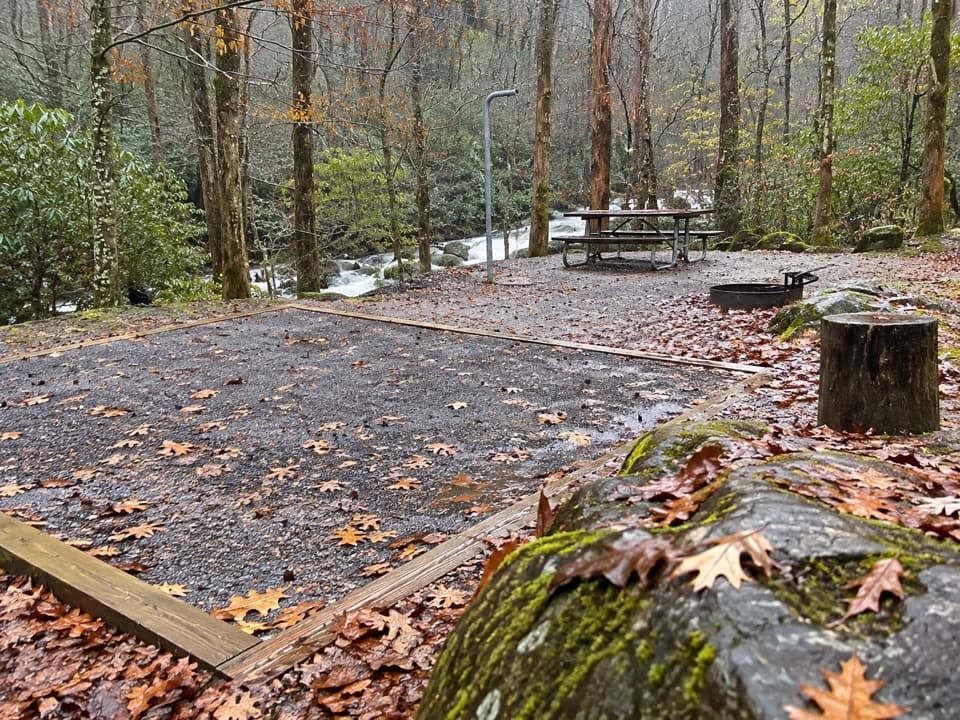
Start at the Big Creek Ranger Station/Big Creek Campground area, about 2.3 miles from I‑40 Exit 451. There’s a hiker lot and facilities at the ranger station, but parking is limited on busy days—arrive early. Cell service is spotty; save maps for offline use.
Shade most of the way with a steady grade; it can be wet and muddy after rain, and footing grows rockier near the top. Summer brings bugs (mosquitoes and occasional yellow jackets), and brief afternoon storms can make the tread slick. Bears roam this area—give them space and follow standard bear safety.
Year-round, but cooler mornings are best—especially in summer when heat, humidity, bugs, and pop-up thunderstorms are common. Weekends and peak seasons fill the Big Creek parking early; weekdays and shoulder seasons are quieter. After heavy rain, expect mud and slick rocks.
Park at the Big Creek Ranger Station/hiker lot near Big Creek Campground, about 2.3 miles from I‑40 Exit 451. Arrive early; spaces are limited.
Sustained steep climb with a very steep final stretch; muddy and slick after rain; rocky footing near the top; occasional yellow jackets and active bears; summer thunderstorms and spotty cell service—download maps offline.