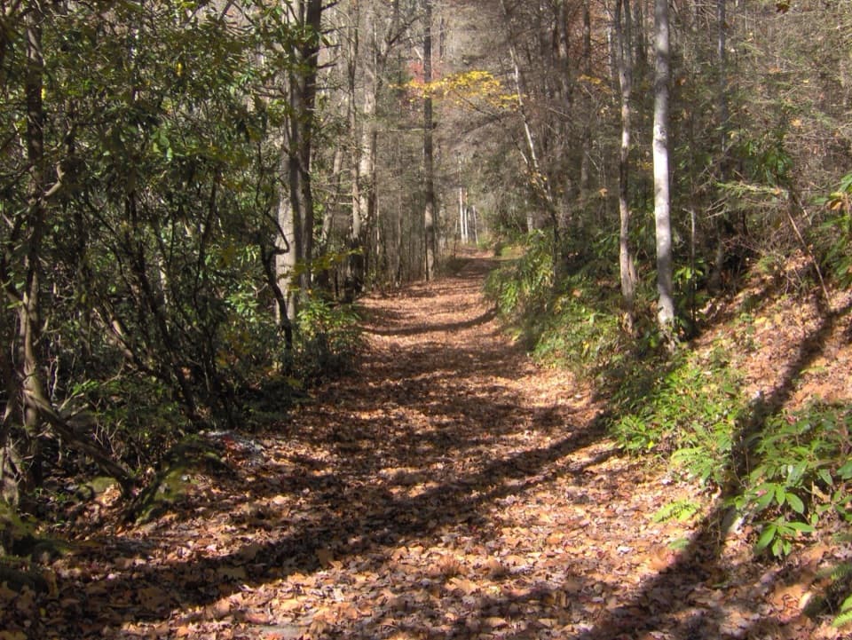
Bone Valley Trail in Great Smoky Mountains National Park

Great Smoky Mountains National Park, TN · NC

Bone Valley Trail

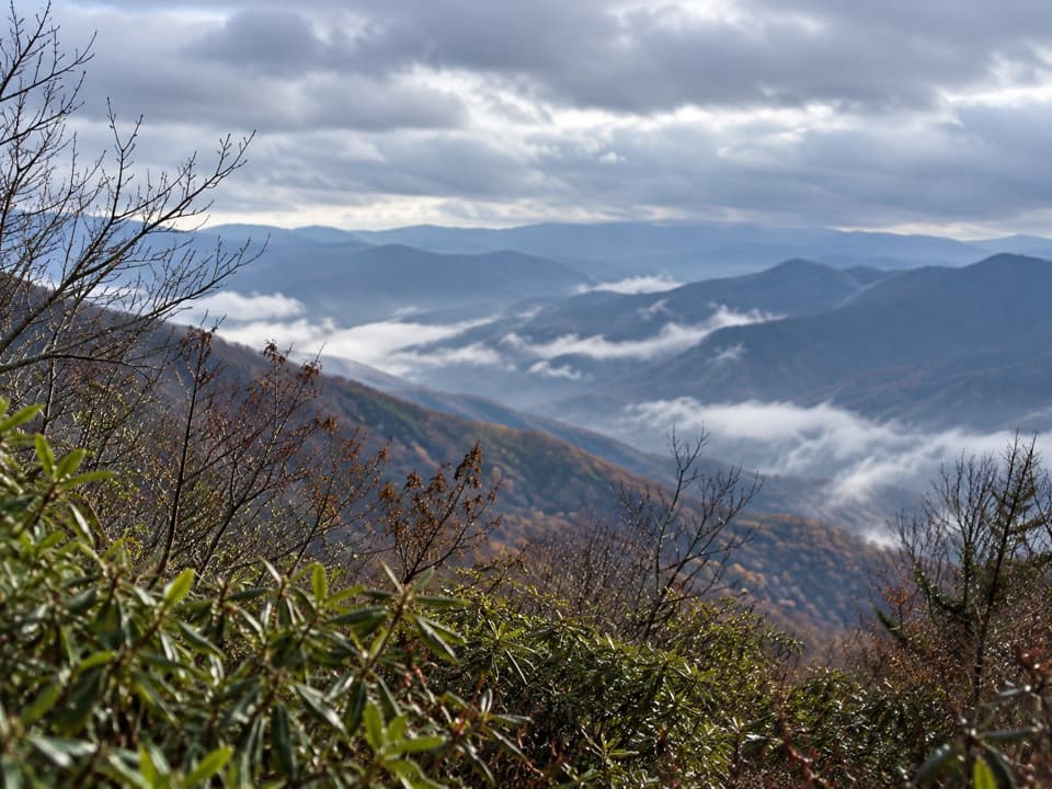
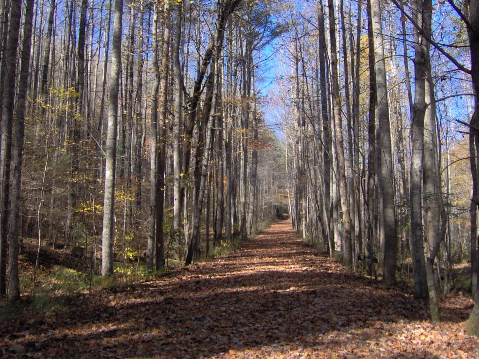
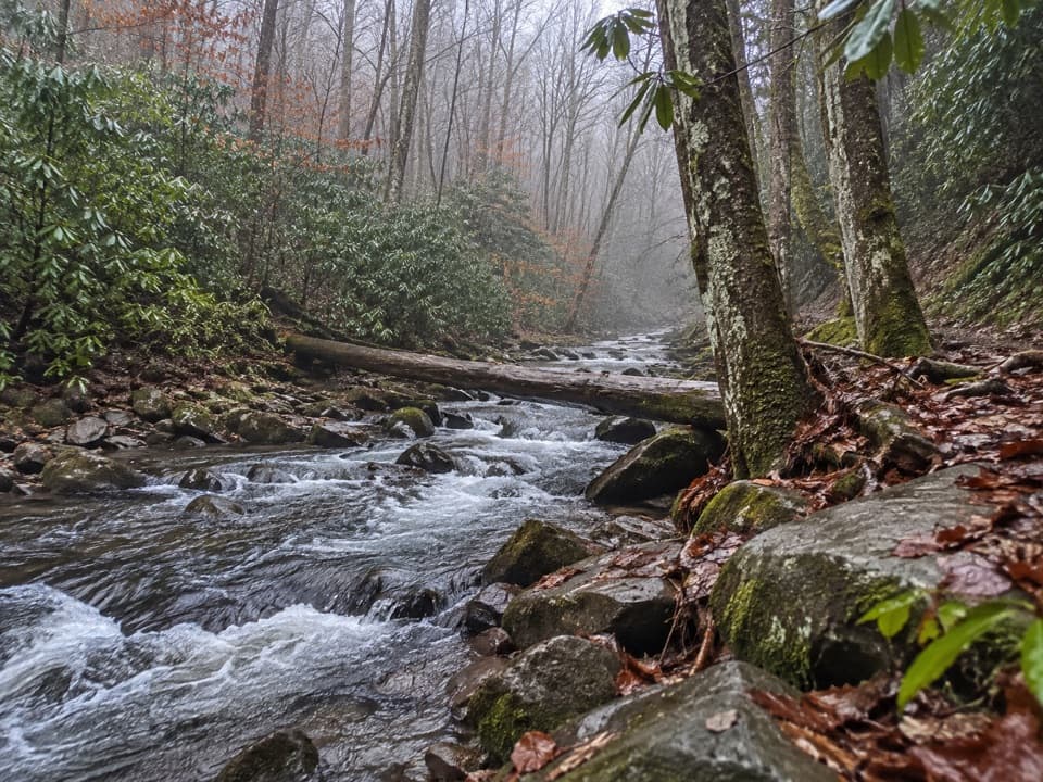
An old logging grade leads through creek crossings to a family cabin.

Photo: Wikimedia Commons
Length
3.6mi
Time
2.5hr
Elev. change
197ft
Difficulty
Moderate
  • No dogs
  • High point 2,478 ft
Parkwolf audio tour188 stories across Great Smoky Mountains’s roads

Overview

About Bone Valley Trail

Why go

  • A historic family cabin and lodge chimney in a grassy valley opening
  • A gentle, creekside walk on an old grade

Heads up

  • Four or five unbridged creek crossings
  • The usual access adds a boat trip and 10–12 miles on Hazel Creek Trail

Map & elevation

The route

Loading the Great Smoky Mountains map
Full map
Elevation2,281–2,478 ft
TrailheadHazel Creek Trail junction near Backcountry Campsite 8335.50028, -83.68014
Keep this map with you offline in the Parkwolf app

Plan your hike

Before you go

Parking

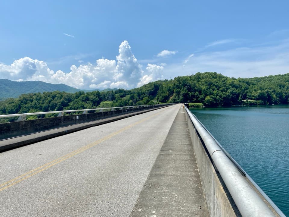
This is a backcountry junction with no drive-up parking. The usual access is a boat across Fontana Lake to Proctor, then Hazel Creek Trail to the junction near Campsite 83; the approach is about 5.3–6 miles one way. Arrange boat transportation separately and plan the same approach for your return.

Safety

Expect four or five fords, including Bone Valley Creek and Mill Branch; high water after heavy rain can make crossings unsafe. The trail is deep in backcountry, and the usual Proctor approach adds 5.3–6 miles each way before the Bone Valley walk. Pets are prohibited on this trail.

7 active Great Smoky Mountains alerts

  • ClosureHurricane Helene backcountry trail closures and hazardsHurricane Helene damage has closed backcountry trails and left hazardous crossings; avoid closed routes and heed trail-specific restrictions.Official details
  • CautionBear-related trail, road, shelter, and campsite restrictionsBear activity has closed trails, a shelter, and campsites and restricted pedestrian access on Cherokee Orchard Road; follow the vehicle restrictions and avoid closed areas.Official details
See all 7 alerts
A park ranger sits on a dash-mounted phone, talking, as Parkwolf’s Tour Guide plays “Army Cutworm Moths: A Grizzly Bear Buffet” on Grand Loop Road below Dunraven Pass in Yellowstone
Parkwolf Tour GuideThe highest, rockiest slopes around here are a summer buffet for grizzly bears.

Great Smoky Mountains Tour Guide

Your drive to Bone Valley Trail, narrated.

Parkwolf is a GPS audio tour guide for Great Smoky Mountains National Park. As you drive, it chimes in with what’s ahead: hidden gems, upcoming stops, history, geology, and wildlife, right through your car’s speakers.

See the Great Smoky Mountains audio tour
  • 188 audio storiesacross Great Smoky Mountains’s roads, triggered by GPS as you drive
  • Wildlife heatmapsfor Black Bear, Elk, Bald Eagle, and 13 more
  • Works offlinemaps, 197 trails, 100 places, and audio download before you lose signal
  • CarPlay readysimple controls built for the drive
★★★★★
“Fantastic app with many points of information… It’s great to just turn on while you’re driving and it gives you an audio tour of the national Park. We love it!!!!”
JMJamesApp Store review
Download Parkwolf on the App StoreGet Parkwolf on Google Play

4.7 from 8,600+ ratings

Trail guide

Hiking Bone Valley Trail

The trail itselfBone Valley Trail is a backcountry out-and-back from Hazel Creek Trail near Campsite 83 to the…

Bone Valley Trail is a backcountry out-and-back from Hazel Creek Trail near Campsite 83 to the Hall Cabin area. The trail is 1.8 miles one way; turn around at the cabin area for 3.6 miles round trip and about 200–210 feet of climbing. Allow about 2–3 hours for this section, including its creek crossings and time at the cabin. The mapped route and mileage cover Bone Valley only.

The approach is the real commitmentThere’s no drive-up trailhead.

There’s no drive-up trailhead. The usual access is by boat across Fontana Lake to Proctor, then Hazel Creek Trail to the Bone Valley junction. The approach adds about 5.3–6 miles each way. Walking from Proctor and back with the Bone Valley spur makes roughly 14–16 miles on foot, plus boat travel. Arrange transportation before setting out; this is a remote backcountry trip, not a quick stop from the road.

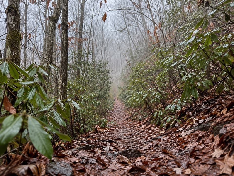
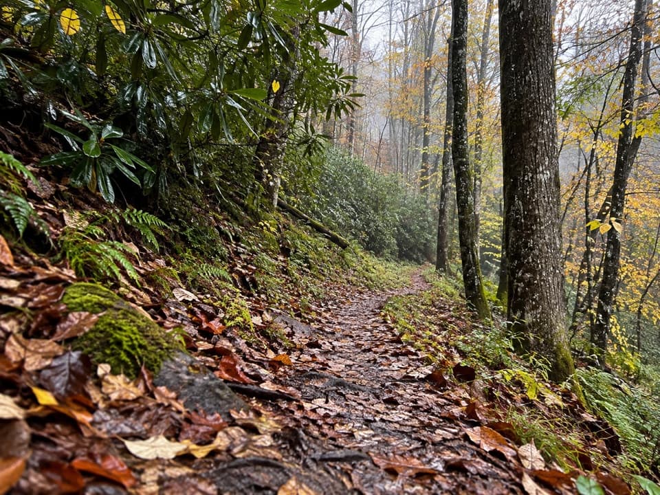
A creekside old gradeThe native-surface path follows an old logging and rail grade through a wooded valley, with…

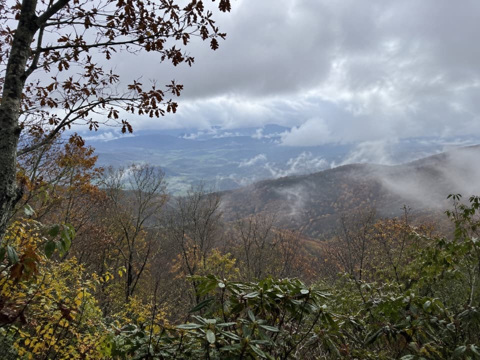
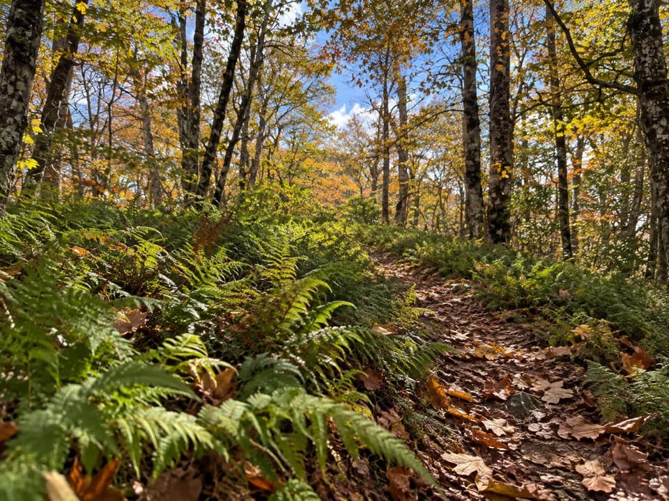
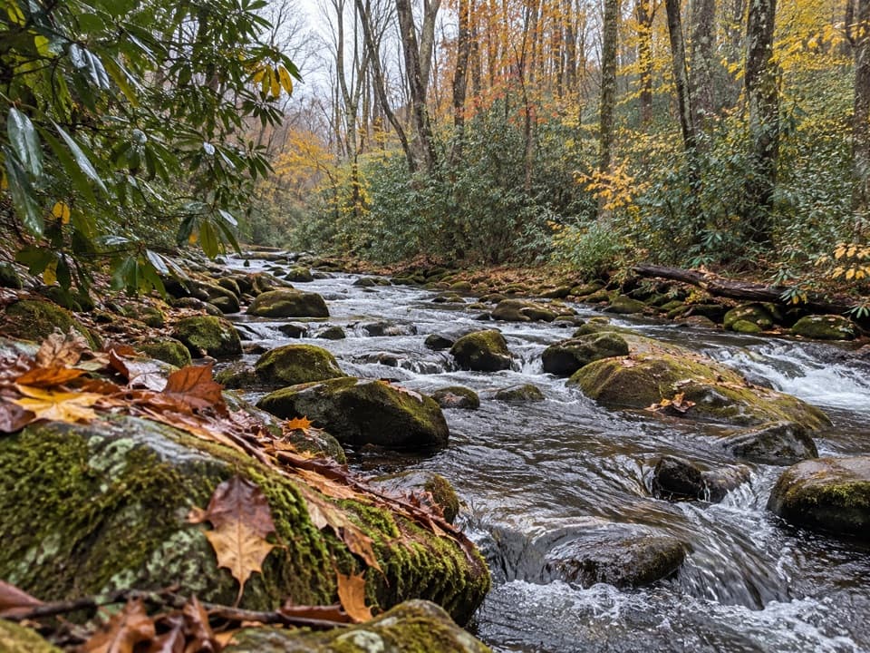
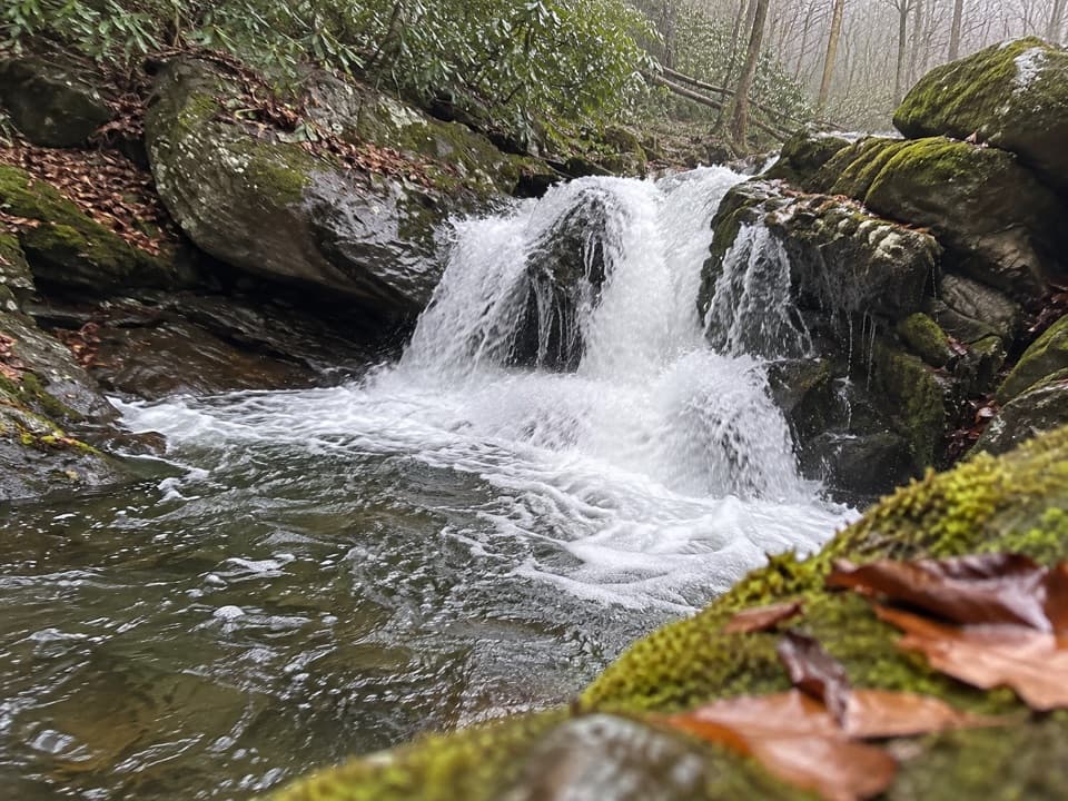
The native-surface path follows an old logging and rail grade through a wooded valley, with Bone Valley Creek nearby for much of the walk. The grade is fairly gentle, but expect four or five fords, including Bone Valley Creek and Mill Branch. A short bridge near the junction doesn’t remove the crossings farther along. High water after heavy rain can make them unsafe, so be ready to turn back. This walk is about the creek valley and its history, not a summit view.

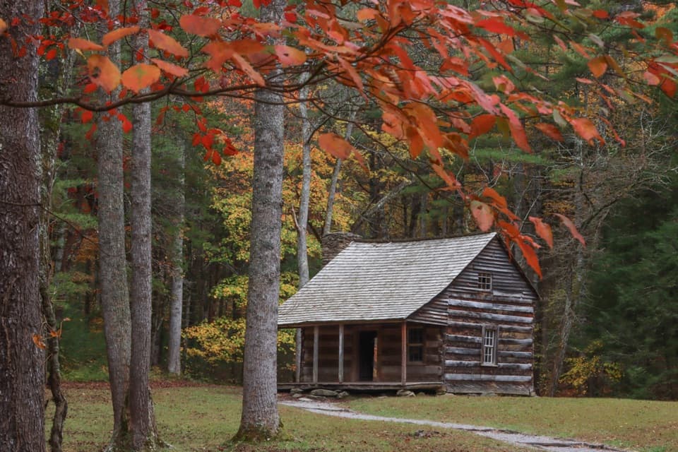
The Hall family cabinAt the end, a grassy opening holds Hall Cabin, a small structure raised on stone piers.

At the end, a grassy opening holds Hall Cabin, a small structure raised on stone piers. Crate and Mary Dills Hall settled Bone Valley around 1877 and built the surviving cabin around 1880. Nearby, the chimney and mossy foundation are the remains of a separate Kress hunting lodge that burned around 1960. Keep those two sites straight: the lodge ruins are not the Hall Cabin.

The valley’s name“Bone Valley” is commonly traced to cattle caught in a late-1870s blizzard in the high pasture.

“Bone Valley” is commonly traced to cattle caught in a late-1870s blizzard in the high pasture. Accounts differ on how the herd got there, but agree that bones left in the valley gave it its name.

Rules and suppliesPets aren’t allowed on this trail.

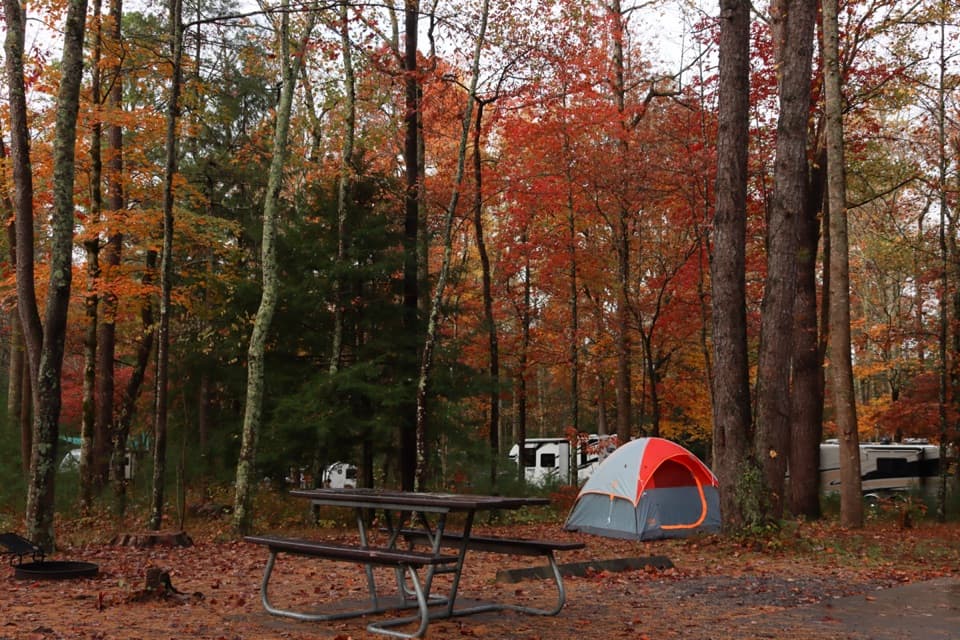
Pets aren’t allowed on this trail. There are no food or drinking-water services along this backcountry route, so carry supplies for the whole outing. Campsite 83 is a backcountry site near the junction, not a parking area.

Wildlife

Wildlife in Great Smoky Mountains

All Great Smoky Mountains wildlife maps

Sighting maps show where each species has been reported across Great Smoky Mountains. Wildlife moves, so no sighting is guaranteed.

Keep exploring

Near Bone Valley Trail

See it all on the map

Trails that start nearby

Places near the trailhead

Parkwolf’s Great Smoky Mountains ranking

Top-rated trails in Great Smoky Mountains

All 197 trails
  1. 1Mount Le Conte via Alum Cave TrailChallenging · 10 mi
  2. 2Charlies Bunion via Appalachian TrailModerate · 8 mi
  3. 3Alum Cave Trail to Alum Cave BluffsModerate · 4.6 mi
  4. 4Ramsey Cascades TrailChallenging · 8 mi
  5. 5Mount Cammerer TrailChallenging · 11.1 mi
  6. 6Gregory Ridge TrailChallenging · 11.4 mi

Take Parkwolf to Great Smoky Mountains.

The audio tour guide for the drive, plus offline maps, trails, and wildlife heatmaps for when the signal drops.

4.7 from 8,600+ ratings

Download Parkwolf on the App StoreGet Parkwolf on Google Play