Parking
Neither end has road-access parking. Camp 84 is on Hazel Creek, commonly reached by boat across Fontana Lake and the Hazel Creek Trail. Spence Field is a backcountry junction on the AT; plan a larger route or exit.
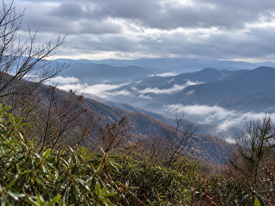
Great Smoky Mountains National Park, TN · NC
A strenuous 8.8-mile backcountry climb to Spence Field.
Overview
Jenkins Ridge Trail is an 8.8-mile, one-way backcountry route from Backcountry Camp 84 on Hazel Creek to the Appalachian Trail at Spence Field. It starts on a broad old road, then turns into a steep ridge track with open grassy gaps and stream crossings before the final climb to the AT. The view from Spence Field is the payoff. This is a strenuous connector for a planned backpacking trip, not a drive-up day hike. Budget about six hours for the trail itself; reaching either end adds more time.
 Parkwolf’s verdictIs this the hike for you?
Map & elevation
Plan your hike

The highest, rockiest slopes around here are a summer buffet for grizzly bears.
Great Smoky Mountains Tour Guide
Parkwolf is a GPS audio tour guide for Great Smoky Mountains National Park. As you drive, it chimes in with what’s ahead: hidden gems, upcoming stops, history, geology, and wildlife, right through your car’s speakers.
See the Great Smoky Mountains audio tour“Fantastic app with many points of information… It’s great to just turn on while you’re driving and it gives you an audio tour of the national Park. We love it!!!!”


Trail guide
Camp 84 sits on Hazel Creek, with no road access or parking at the trail junction. Hikers commonly reach the Hazel Creek area by boat across Fontana Lake, then follow the Hazel Creek Trail. The other end meets the AT at Spence Field, so plan a longer route, a continuation along the AT, or another exit before starting. Overnight camping requires an advance backcountry permit and a reserved site. Dogs are not allowed on Jenkins Ridge; only two park trails permit leashed dogs.
From Camp 84, a wide old road follows Haw Gap Branch and Sugar Fork. A short spur climbs to Higdon Cemetery; farther along, a small stream marks a faint abandoned homesite. At Pickens Gap, turn onto a narrow, steep track along the ridge. It levels briefly, then climbs to Woodward Knob, drops, and rises again toward Cherry Knob through shaded oak woods. A sharp turn beyond Cherry Knob leads down toward Haw Gap, where an old log structure remains near the gap.
Haw Gap is a grassy bald, and summer weeds can hide the tread. Its rocky exit has scattered views of the Smoky divide. Two smaller stream crossings lead into Meadow Gap; after Gunna Creek, the route climbs for a long stretch across the head of Eagle Creek and skirts the southern edge of another grassy bald. It then emerges from rhododendron at Spence Field and ends at the AT. Expect rough, narrow footing and several demanding climbs along the way.
Cherokee people lived in the Hazel Creek watershed before non-Cherokee settlers arrived from Cades Cove in the 1830s. The settlement had a gristmill by 1852 and a church and school by 1886; by 1887, families lived near Sugar Fork. Farming later gave way to mining and logging. Higdon Cemetery, an abandoned homesite, and the remains near Haw Gap connect parts of the route to that history; not every remnant lies on Jenkins Ridge itself.
Wildlife
 1,566 sightingsBlack BearMost seen around 7 PMSighting map
 899 sightingsElkMost seen around 7 AMSighting map
 13 sightingsBald EagleMost seen around 9 AMSighting map
 142 sightingsTimber RattlesnakeMost seen around 6 PMSighting map
 26 sightingsBobcatMost seen around 8 PMSighting map
 42 sightingsRiver OtterMost seen around 7 AMSighting map
Sighting maps show where each species has been reported across Great Smoky Mountains. Wildlife moves, so no sighting is guaranteed.
Keep exploring
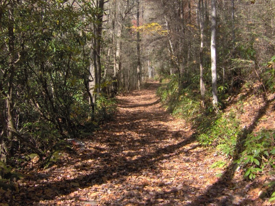 ModerateBone Valley Trail3.6 mi · 2.5 hr · 0.6 mi awayAn old logging grade leads through creek crossings to a family cabin.
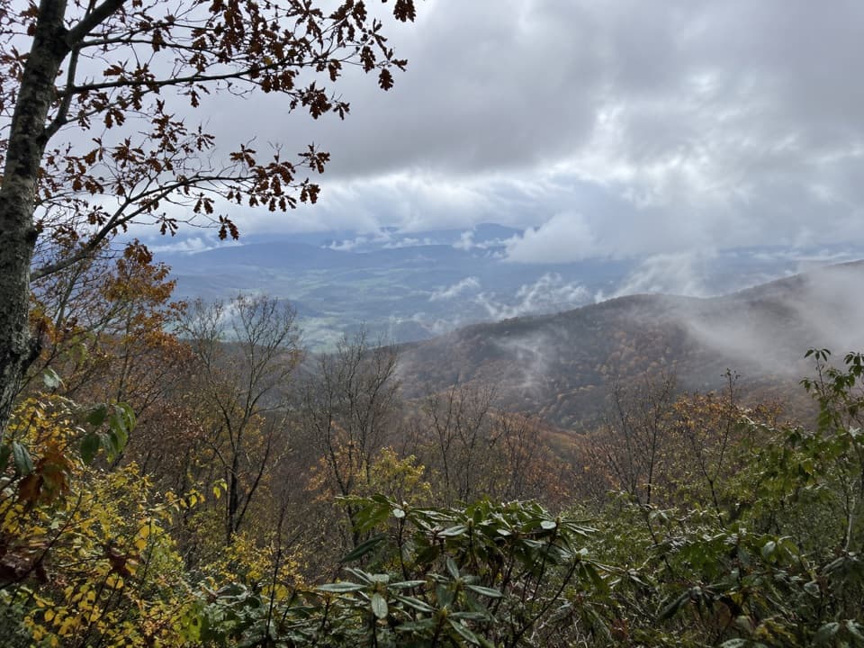 ChallengingCold Spring Gap Trail4.1 mi · 4 hr · 1.6 mi awayA remote creek connector with slippery crossings and a steep ridge climb.
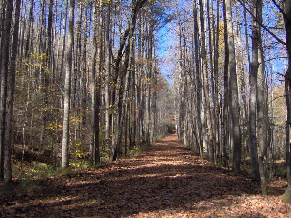 ChallengingHazel Creek Trail15.2 mi · 9 hr · 2.6 mi awayA remote creek corridor past Proctor, climbing to Welch Ridge.
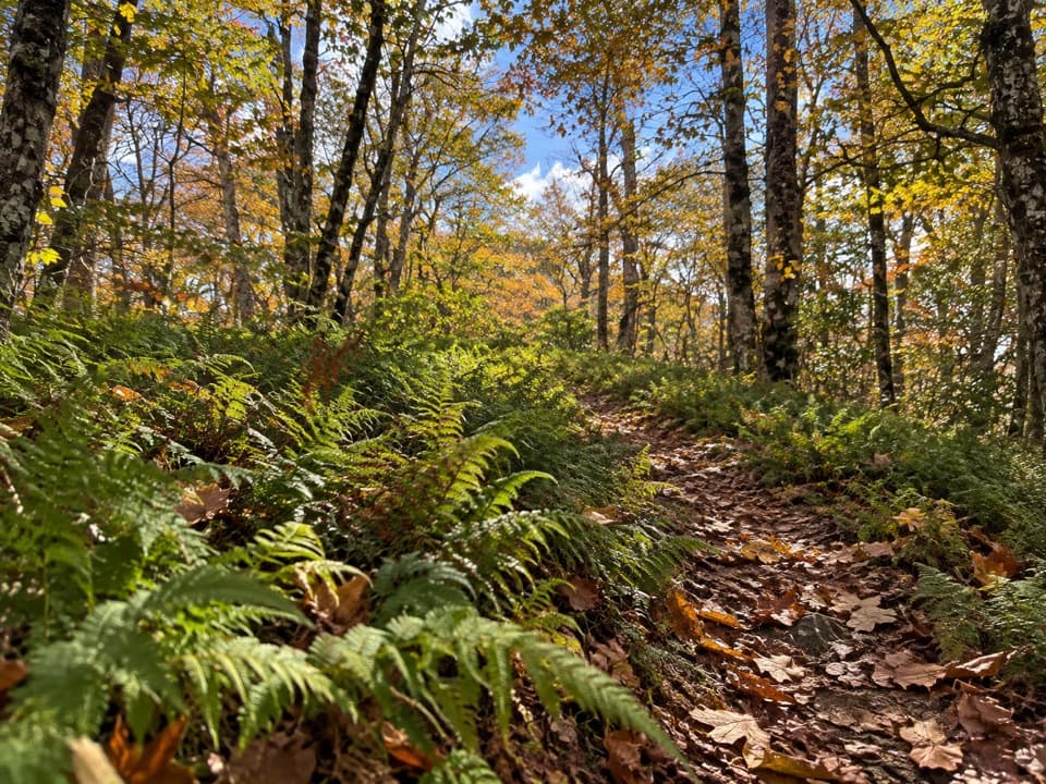 ModerateWelch Ridge Trail6.3 mi · 4.5 hr · 4.3 mi awayA remote fern ridge with an optional High Rocks fire-tower detour.
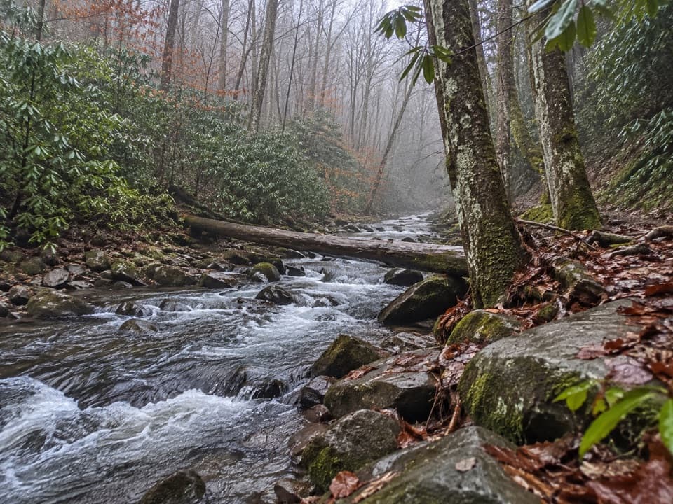 ChallengingEagle Creek Trail8.6 mi · 6.5 hr · 4.8 mi awayA rugged creek-to-ridge traverse ending above Cades Cove.
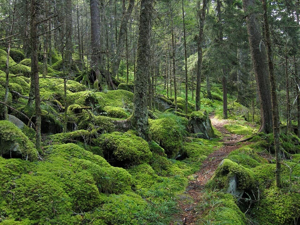 ChallengingBenton MacKaye Trail93.4 mi · 3.3 days · 7 mi awayA 93-mile Smokies crossing from Fontana Dam to Big Creek.
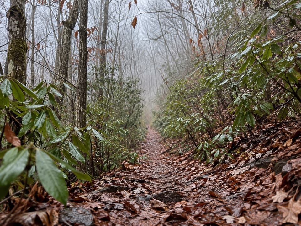 ChallengingBear Creek Trail5.9 mi · 5 hr · 7 mi awayA steep old grade climbs from Forney Creek into high backcountry.
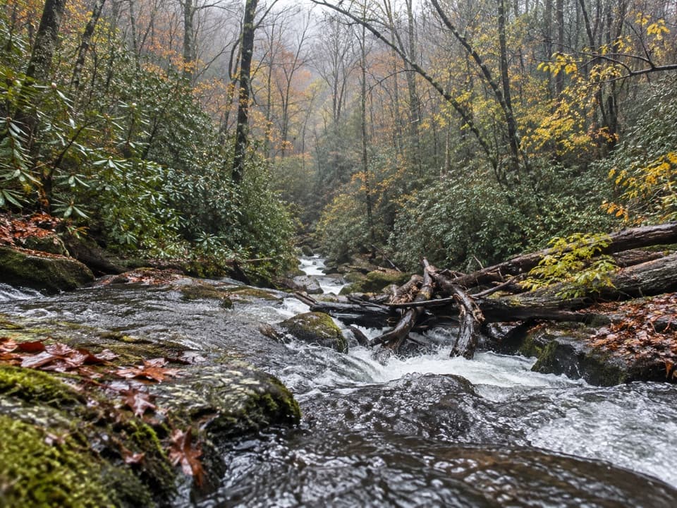 ChallengingLost Cove Trail2.7 mi · 2 hr · 7.1 mi awayA steep, shaded descent from the A.T. to Lakeshore Trail.
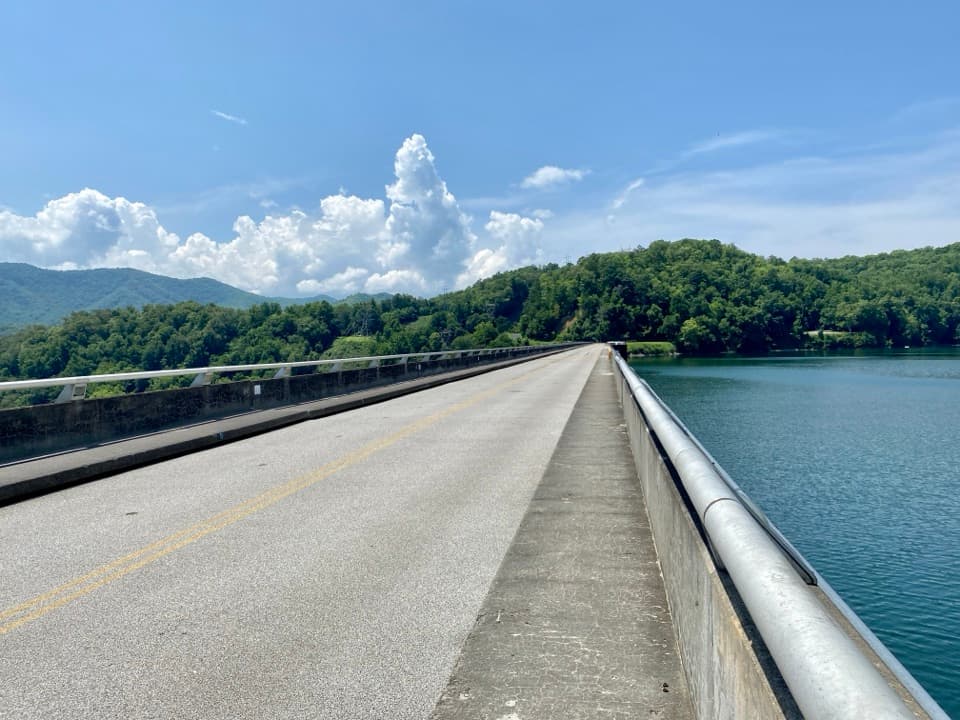 Sight · 7.2 mi awayFontana DamA 480-foot dam doubles as an Appalachian Trail crossing.
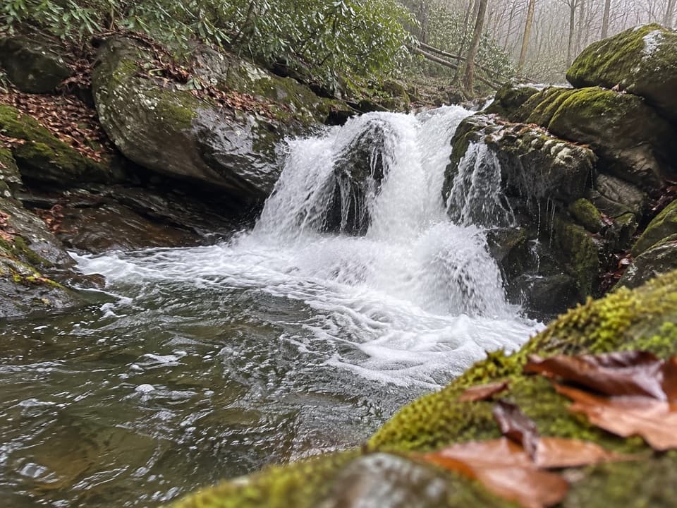 Sight · 8.6 mi awayLynn Camp Prong CascadesEasy cascades on an old railroad grade through rhododendron.
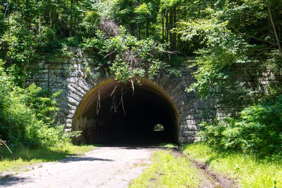 Sight · 8.7 mi awayLakeview Drive TunnelWalk a 1,200-foot tunnel on a road that never reached its end.
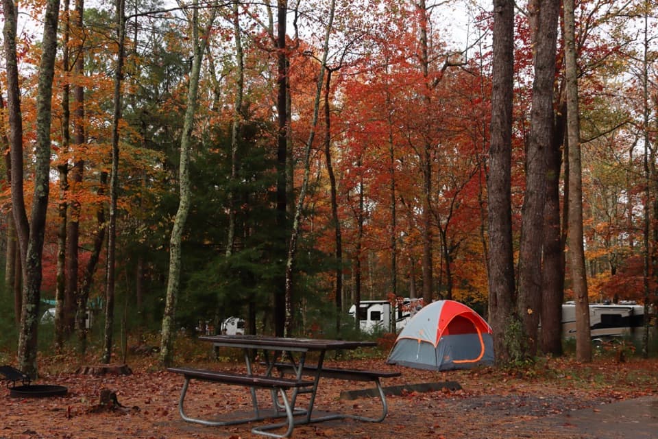 Campground · 8.9 mi awayCades Cove CampgroundA woodland base for the cove's historic loop and wildlife.
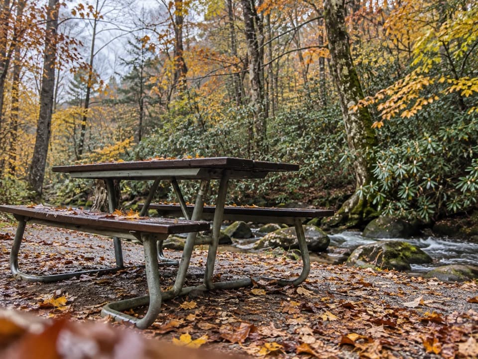 Picnic area · 9 mi awayCades Cove Picnic AreaCreekside lunch tables and charcoal grills at the loop entrance.
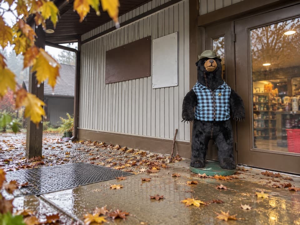 Store · 9 mi awayCades Cove Campground StoreBike rentals, camp supplies and soft-serve before the loop.
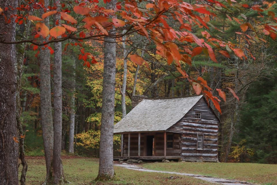 Sight · 9 mi awayCarter Shields CabinA last-loop homestead cabin with a stream just behind it.
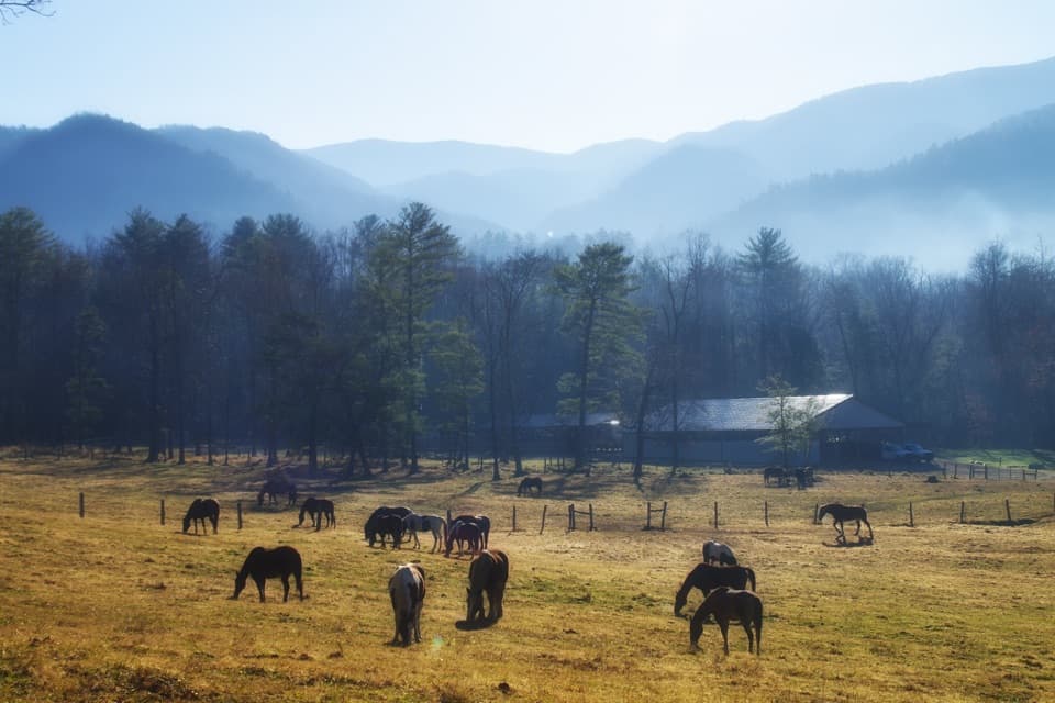 Sight · 9.2 mi awayCades Cove Riding StablesA horse, carriage or hayride gives the cove a different pace.
Parkwolf’s Great Smoky Mountains ranking
The audio tour guide for the drive, plus offline maps, trails, and wildlife heatmaps for when the signal drops.





