Moderate

Hazel Creek Trail

Remote creekside ramble to Smokies history, best reached by boat
Hazel Creek Trail, Great Smoky Mountains National Park
Distance14.7 mi
Typical time10 hr
DifficultyModerate
PetsNot allowed

Overview

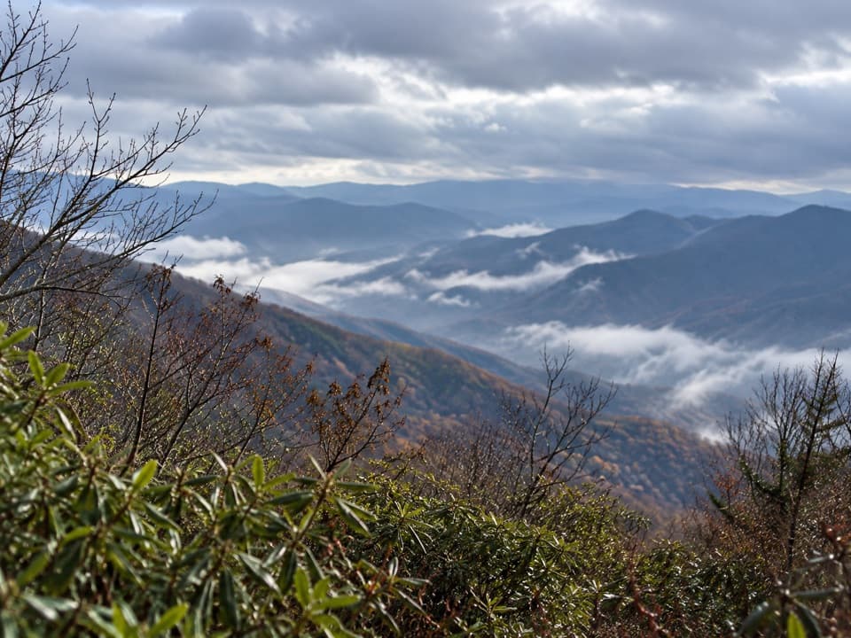
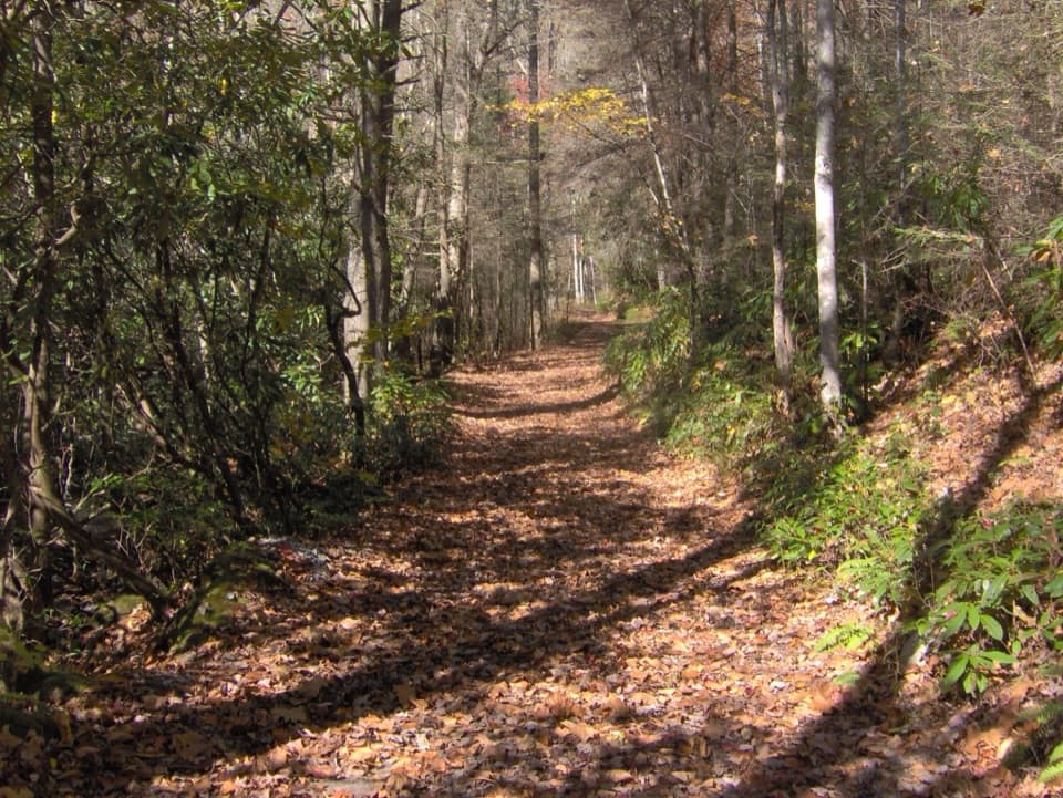
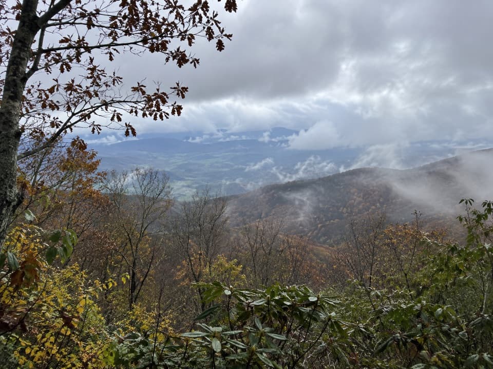
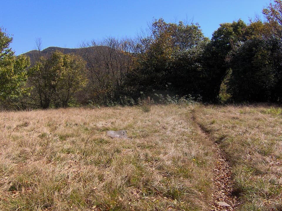
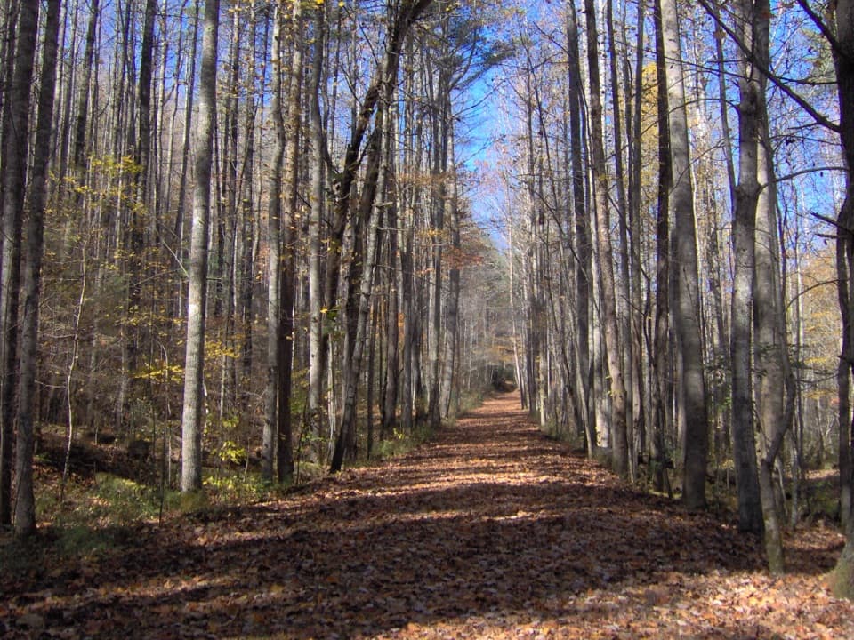
Hazel Creek is one of the Smokies’ great backcountry corridors: a long, mostly mellow creekside walk stitched with ruins, cemeteries, and a few marquee historic stops. The main trail runs approximately 14.7 miles one way from the upper junctions near Welch Ridge/Cold Spring Gap down to Fontana Lake. Expect easy grades on the lower miles (old road/rail grade) and steeper, switchbacking terrain up high. It’s remote, beautiful, and—for many—the best window into the park’s human history.

Distance and Difficulty

Plan your day around what you want to see. The core Hazel Creek Trail is about 14.7 miles one way. A popular long day is to boat to Proctor, hike Hazel Creek to the Bone Valley junction, head up Bone Valley to the Hall Cabin, then return—typically around 16 miles round-trip. There’s also a big undertaking combining Hazel Creek with Bone Valley as an out-and-back listed around 39.9 miles with roughly 6,863 feet of gain. Lower Hazel Creek is generally easy-to-moderate; the upper stretch includes a steep series of switchbacks near Hazel Creek Cascades and Mule Gap and can feel strenuous.

Highlights

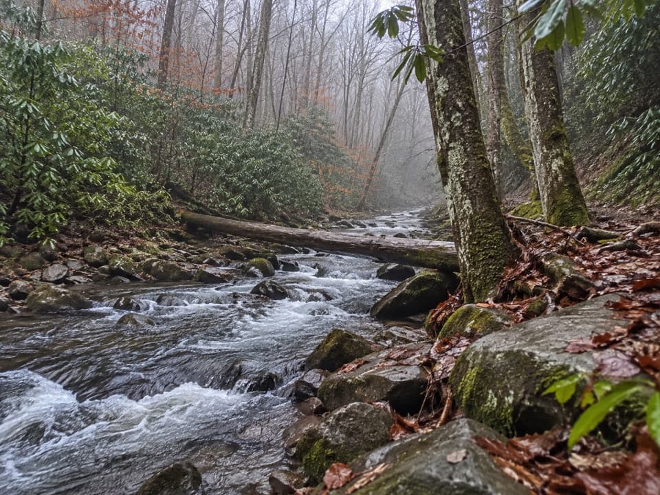
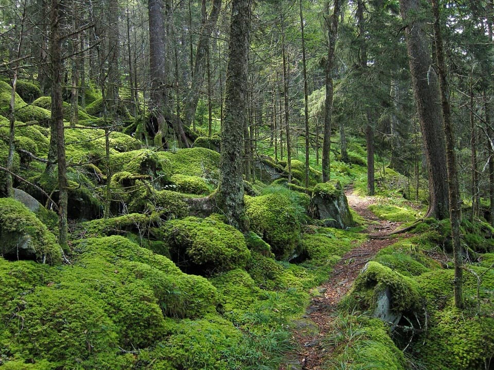
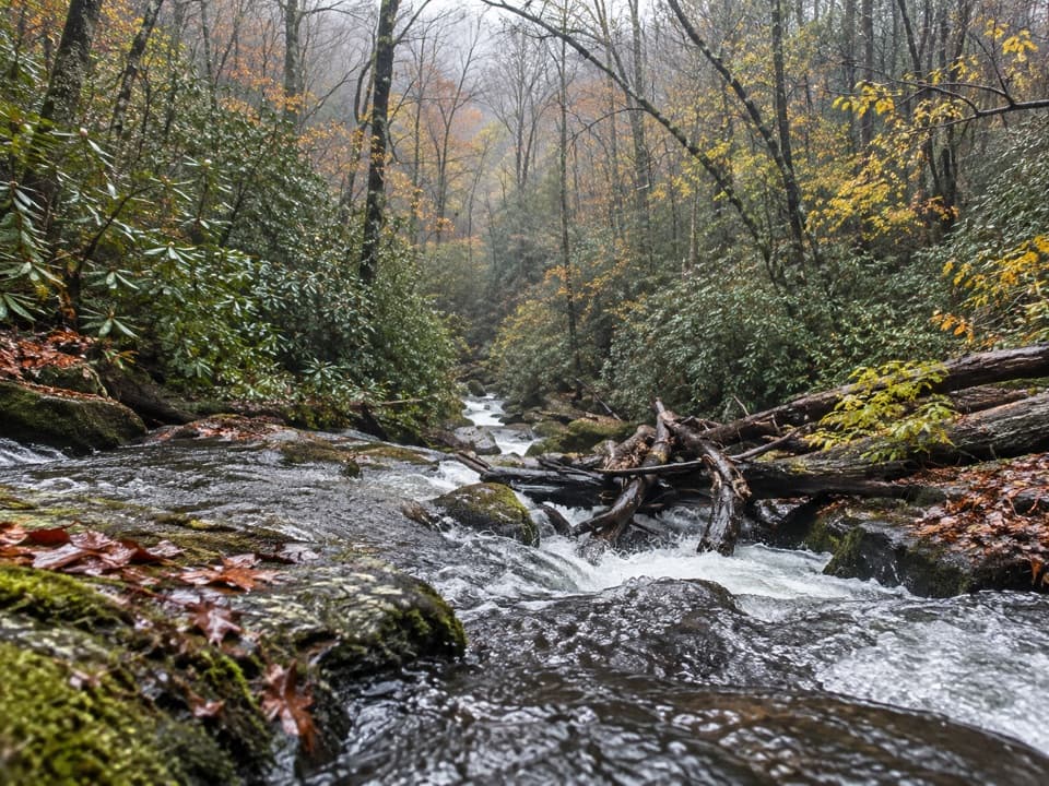
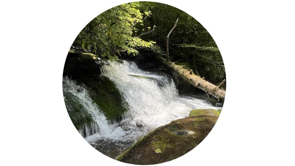
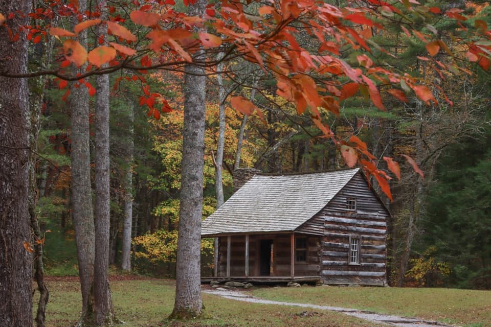
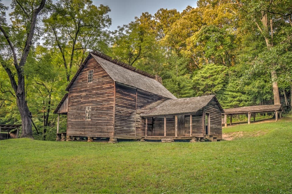
History is the hook here. You’ll pass the Proctor townsite and remnants from logging-era communities like Medlin, with short paths to family cemeteries. The Bone Valley area adds the church/cemetery and the photogenic Hall Cabin, plus the Kress lodge chimney. Natural treats include long runs of clear water over mossy stones, Hazel Creek Cascades up high, and a superb piped spring a few miles above the lake for clean refills. Wildlife is around—black bears are periodically reported—so stay alert and keep camp clean.

Water Crossings and Trail Conditions

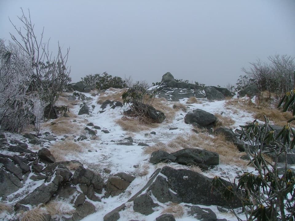
Lower Hazel Creek’s mainline is typically straightforward, but side routes like Bone Valley require multiple unbridged fords that are often calf- to knee-deep in normal flows and can turn hazardous after rain. Upper Hazel Creek sees many crossings and a steep climb to Welch Ridge; sections near Welch Ridge can be a bit overgrown. Trekking poles help; have a plan for safe fords or be ready to turn back when water runs high.

Access and Logistics

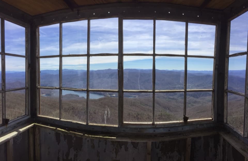
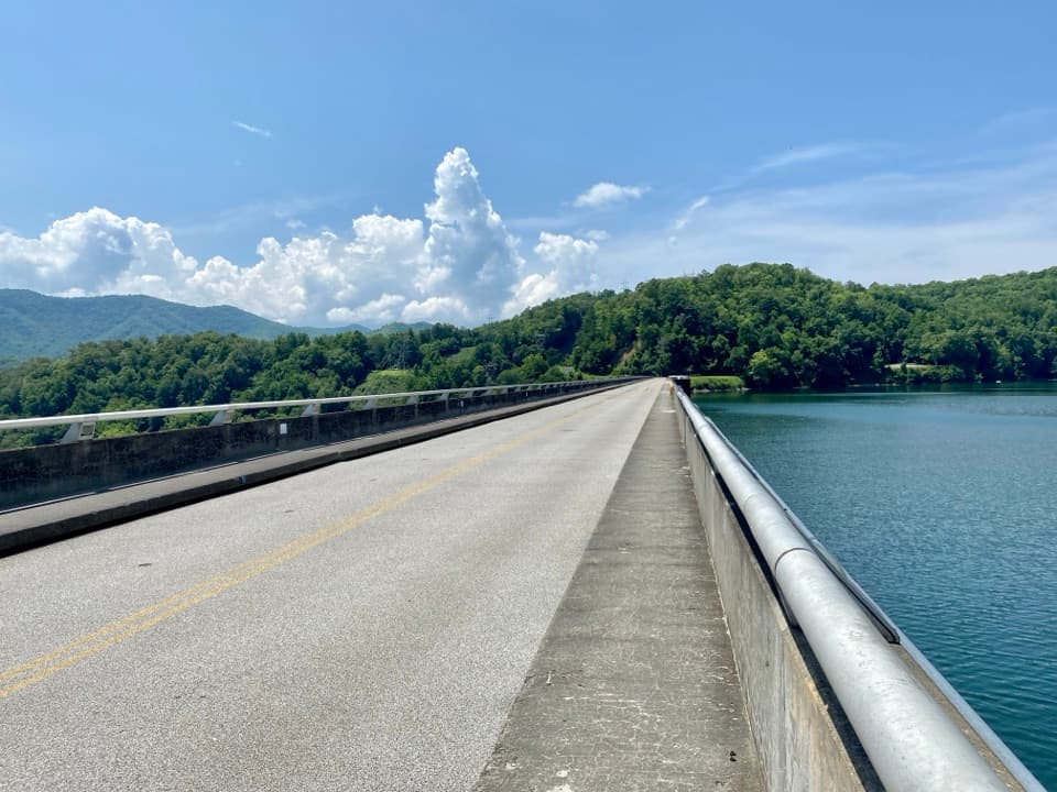
Most hikers reach the trailhead at Proctor by reserving a boat shuttle across Fontana Lake. Alternatively, you can hike roughly 10 miles from Fontana Dam on the Lakeshore Trail to reach Proctor, or traverse down from the Appalachian Trail via Welch Ridge/Cold Spring Gap for a top-down descent to the lake. Backcountry campsites along lower Hazel Creek (including sites 86, 84, 83, and 82) require reservations.

Safety Notes

This is remote backcountry. Creek fords are the crux—depth and speed spike after rain. Bears are active in the area; a section of Hazel Creek and Campsite 82 were temporarily closed in 2020 following a bear-related fatality. Store all food properly and follow park bear guidance. Pace conservatively; 1.5 mph is a reasonable planning speed here given crossings, photo stops, and history detours.

Best Time to Hike

Aim for stable weather and lower water. After big rains, crossings can shut down plans. Weekdays see fewer anglers and hikers on the lower miles. If you’re using the lake shuttle, build your day around their schedule and book ahead. Light in the valley is nicest in early and late hours—great for shooting the creek and historic sites without harsh midday contrast.

Pros

  • Rich, accessible history: Proctor ruins, cemeteries, Bone Valley’s Hall Cabin
  • Lower miles on old roadbed make for fast, easy cruising
  • Reliable piped spring along the trail for clean water refills

Cons

  • Logistics-heavy: boat reservations or a long approach hike required
  • Multiple unbridged fords that can become unsafe after rain
  • Upper miles can be overgrown near Welch Ridge

Parking

No standard trailhead parking at Proctor; most hikers arrange a boat shuttle across Fontana Lake. Alternatively, park at Fontana Dam and hike ~10 miles on Lakeshore Trail to reach Proctor.

Caution

Expect multiple unbridged creek crossings (especially on Bone Valley and upper Hazel Creek) that become hazardous after rain; steep switchbacks near Mule Gap; bear activity has prompted past closures—use bear cables and follow safety guidance.

The Parkwolf tour guide sitting on a phone mounted in a car

Parkwolf Tour Guide

Like a tour guide in your car.

Bring Great Smoky Mountains trail research into the car, with offline maps and stories that play as you drive.Download Parkwolf on the App Store