Parking
There is no road access or trailhead parking. One documented approach to the Hazel Creek junction is a 6.7-mile hike from backcountry campsite 86 on Fontana Lake; the Welch Ridge end is reached through the backcountry trail network.
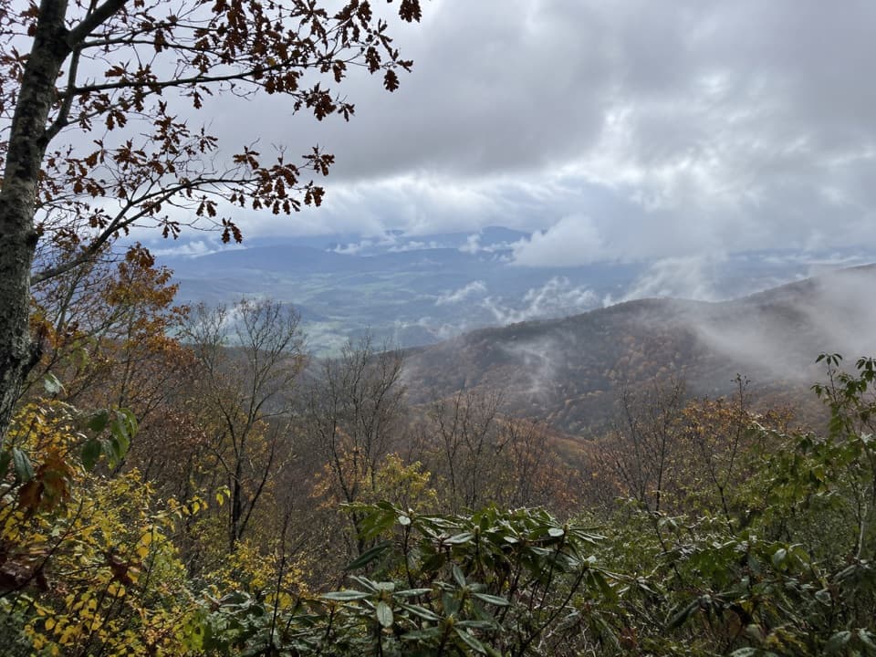
Great Smoky Mountains National Park, TN · NC
A remote creek connector with slippery crossings and a steep ridge climb.
Overview
Cold Spring Gap Trail is a remote, roughly 4-mile one-way connector between Hazel Creek Trail and Welch Ridge Trail. Going from Hazel Creek up to Welch Ridge means about 2,300 feet of climbing. This is a backcountry link, not a short walk from a parking lot: one documented approach to the Hazel Creek junction is a 6.7-mile hike from campsite 86 on Fontana Lake. Allow about four hours for the connector, then add the miles needed to get in and out. I’d save it for a planned backcountry route. Overnight camping requires a permit and advance reservation, and dogs aren’t allowed on this trail.
 Parkwolf’s verdictIs this the hike for you?
Map & elevation
Plan your hike

The highest, rockiest slopes around here are a summer buffet for grizzly bears.
Great Smoky Mountains Tour Guide
Parkwolf is a GPS audio tour guide for Great Smoky Mountains National Park. As you drive, it chimes in with what’s ahead: hidden gems, upcoming stops, history, geology, and wildlife, right through your car’s speakers.
See the Great Smoky Mountains audio tour“Fantastic app with many points of information… It’s great to just turn on while you’re driving and it gives you an audio tour of the national Park. We love it!!!!”


Trail guide
About 0.3 miles from the Hazel Creek junction, the trail crosses Hazel Creek at a ford roughly ten feet wide; rusted auto parts sit nearby. The sandy bottom offers firmer footing than the slick rocks, but water depth changes with rain. Don’t cross if the water is high.
Switchbacks lead away from the creek past old homesites. Cold Spring Branch appears around 1.2 miles in, near a stone wall, and the upper trail crosses the branch several more times. Expect rocky, muddy footing and a steep climb. From the Welch Ridge end, this same stretch is a steep descent into the valley. The separate High Rocks Trail branches at the ridge junction; it isn’t part of the Cold Spring Gap line.
The homesites and stone wall are reminders of earlier settlement, though no dates or occupants are established. Spring wildflowers are a highlight, but the species along this route haven’t been reliably identified.
Wildlife
 1,566 sightingsBlack BearMost seen around 7 PMSighting map
 899 sightingsElkMost seen around 7 AMSighting map
 13 sightingsBald EagleMost seen around 9 AMSighting map
 142 sightingsTimber RattlesnakeMost seen around 6 PMSighting map
 26 sightingsBobcatMost seen around 8 PMSighting map
 42 sightingsRiver OtterMost seen around 7 AMSighting map
Sighting maps show where each species has been reported across Great Smoky Mountains. Wildlife moves, so no sighting is guaranteed.
Keep exploring
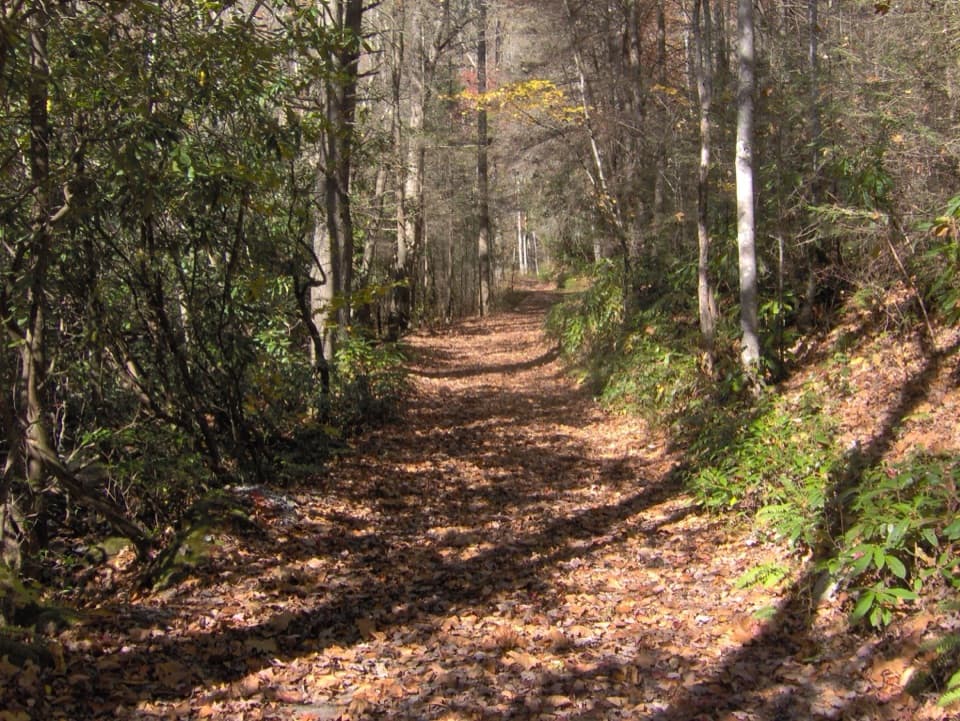 ModerateBone Valley Trail3.6 mi · 2.5 hr · 1 mi awayAn old logging grade leads through creek crossings to a family cabin.
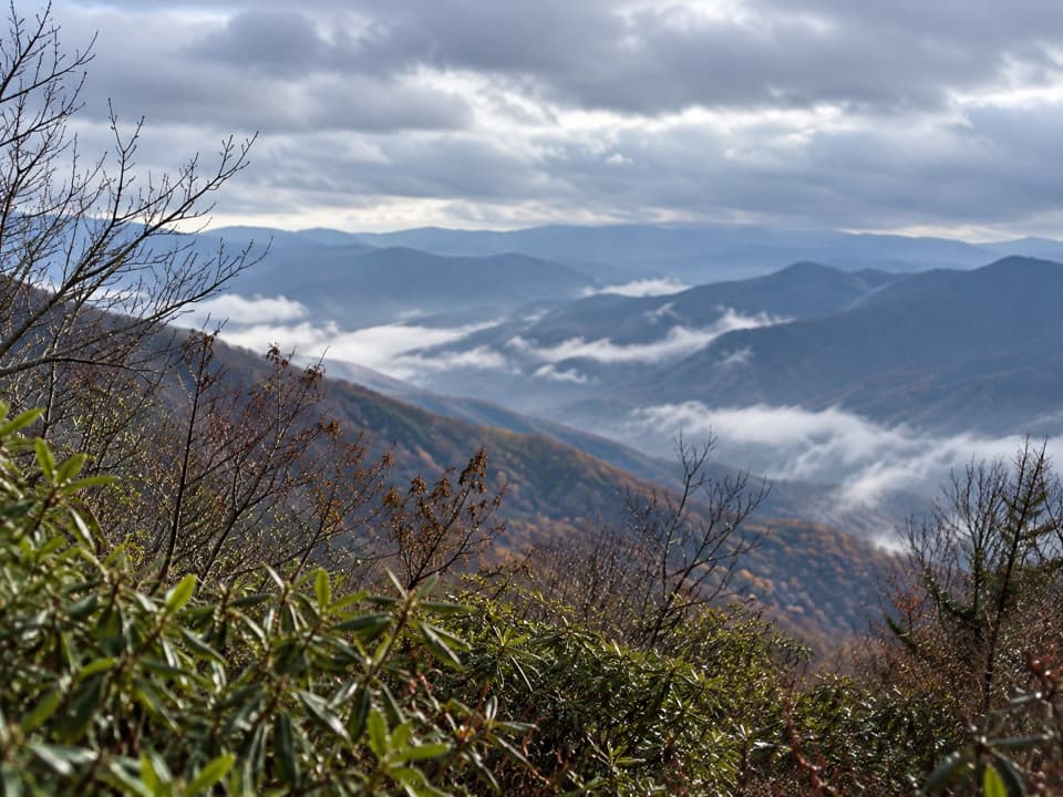 ChallengingJenkins Ridge Trail8.8 mi · 6 hr · 1.6 mi awayA strenuous 8.8-mile backcountry climb to Spence Field.
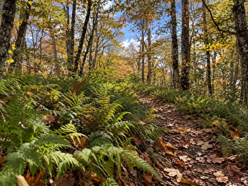 ModerateWelch Ridge Trail6.3 mi · 4.5 hr · 2.8 mi awayA remote fern ridge with an optional High Rocks fire-tower detour.
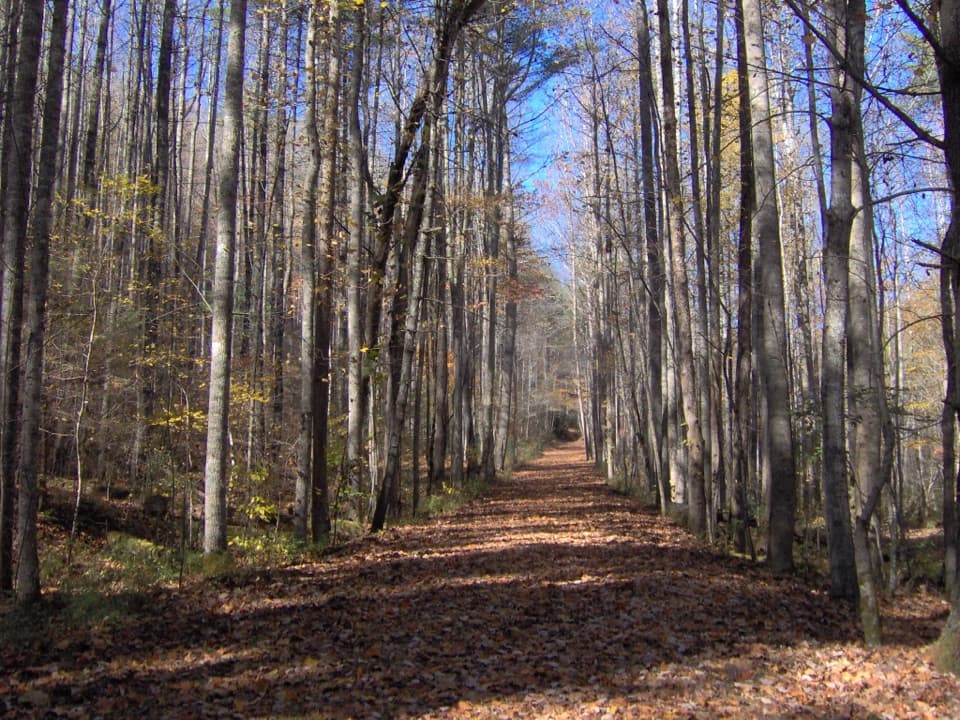 ChallengingHazel Creek Trail15.2 mi · 9 hr · 4.2 mi awayA remote creek corridor past Proctor, climbing to Welch Ridge.
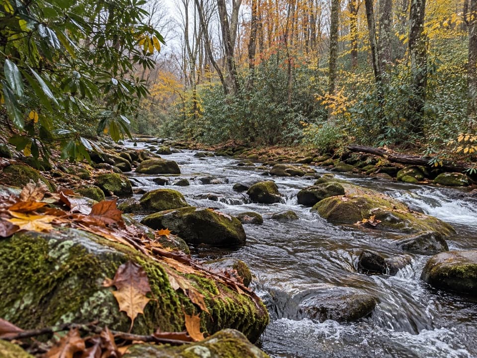 ModerateSpringhouse Branch Trail6.9 mi · 4.5 hr · 5.8 mi awayA backcountry link between Forney Creek and Noland Creek.
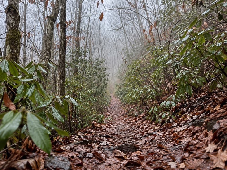 ChallengingBear Creek Trail5.9 mi · 5 hr · 5.9 mi awayA steep old grade climbs from Forney Creek into high backcountry.
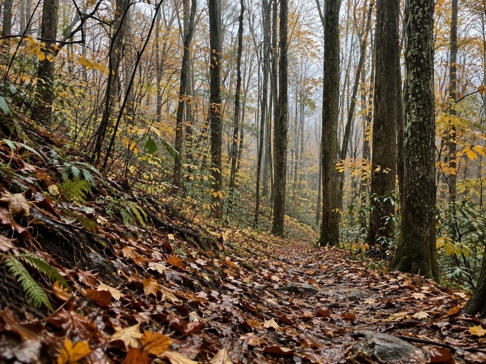 ChallengingJonas Creek Trail4.1 mi · 4 hr · 5.9 mi awayCreek crossings first, then a steep climb to Welch Ridge.
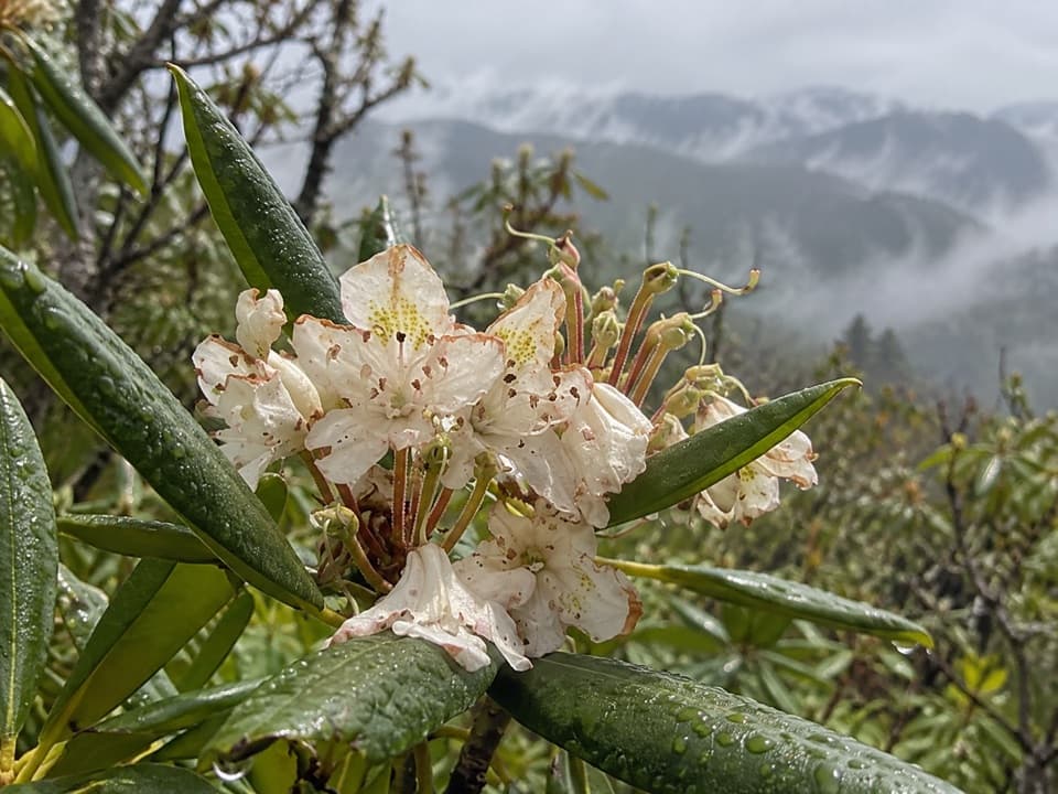 ModerateMiry Ridge Trail4.9 mi · 3.5 hr · 6.1 mi awayA remote ridge connector with views worth the extra planning.
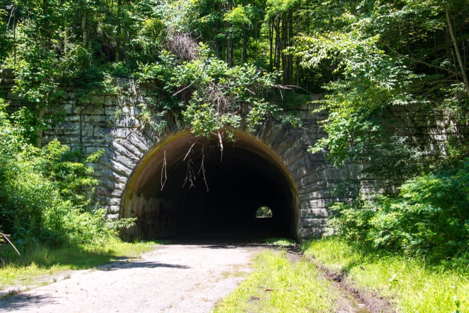 Sight · 7.6 mi awayLakeview Drive TunnelWalk a 1,200-foot tunnel on a road that never reached its end.
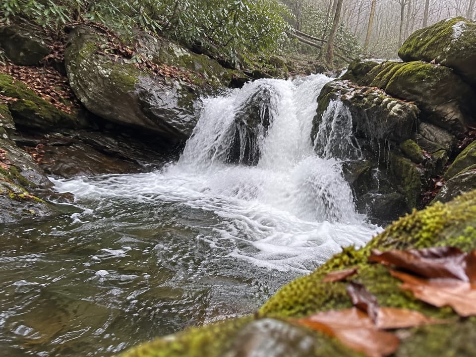 Sight · 7.7 mi awayLynn Camp Prong CascadesEasy cascades on an old railroad grade through rhododendron.
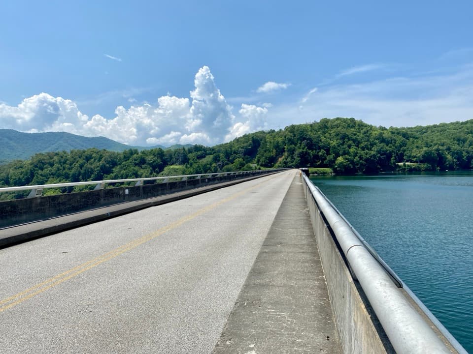 Sight · 8.8 mi awayFontana DamA 480-foot dam doubles as an Appalachian Trail crossing.
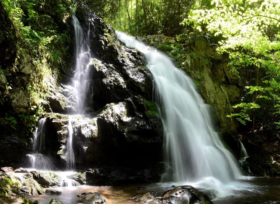 Sight · 9 mi awaySpruce Flats FallsFour tiers of falls make this steep Tremont walk worth the effort.
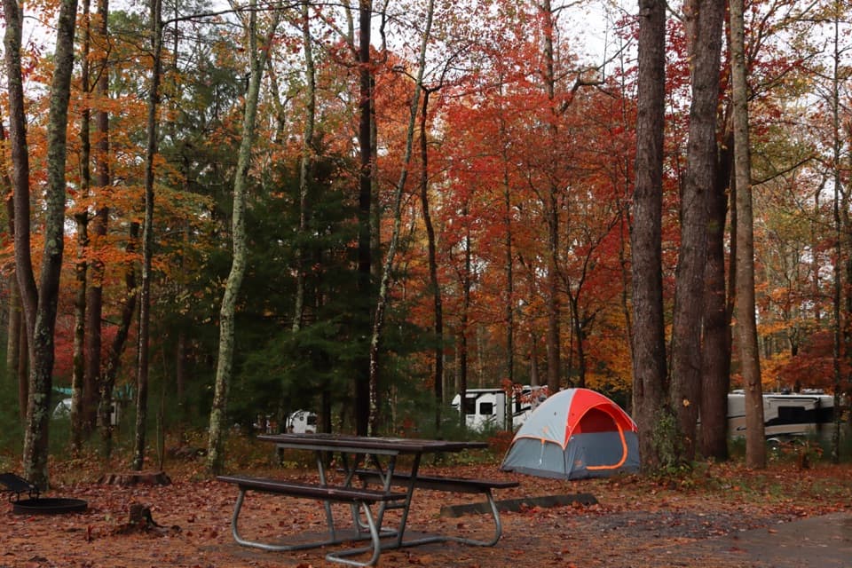 Campground · 9.2 mi awayCades Cove CampgroundA woodland base for the cove's historic loop and wildlife.
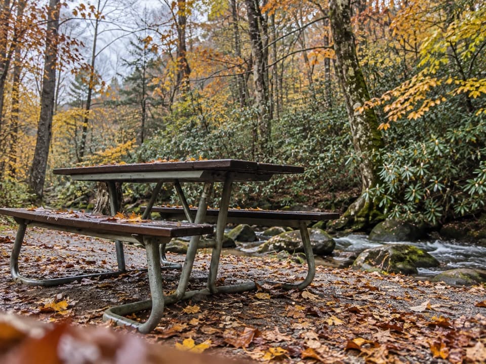 Picnic area · 9.2 mi awayCades Cove Picnic AreaCreekside lunch tables and charcoal grills at the loop entrance.
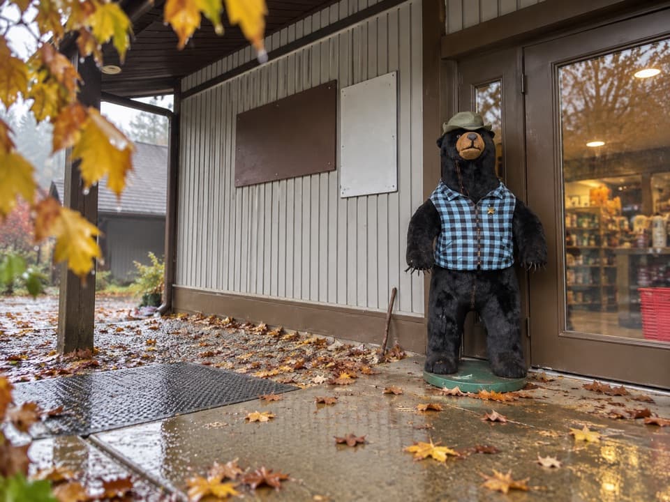 Store · 9.3 mi awayCades Cove Campground StoreBike rentals, camp supplies and soft-serve before the loop.
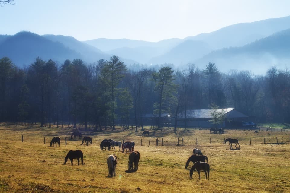 Sight · 9.5 mi awayCades Cove Riding StablesA horse, carriage or hayride gives the cove a different pace.
Parkwolf’s Great Smoky Mountains ranking
The audio tour guide for the drive, plus offline maps, trails, and wildlife heatmaps for when the signal drops.





