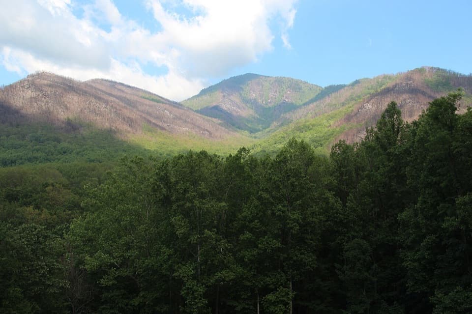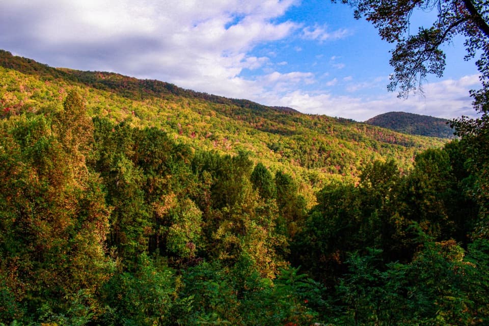
Fighting Creek Nature Trail in Great Smoky Mountains National Park

Great Smoky Mountains National Park, TN · NC

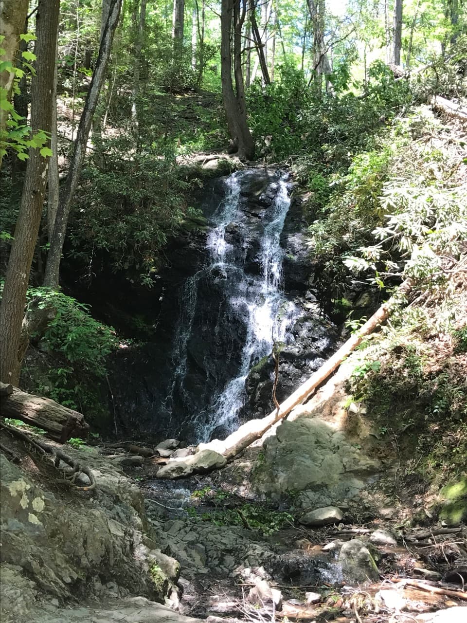
Fighting Creek Nature Trail

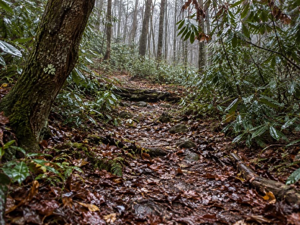
A short creek loop passes an 1860s mountain cabin.

Photo: Public Domain
Length
1mi
Time
30min
Elev. change
148ft
Difficulty
Easy
  • Loop
  • No dogs
  • High point 1,706 ft
  • #50 of 197 in Great Smoky Mountains

Hear the audio tour

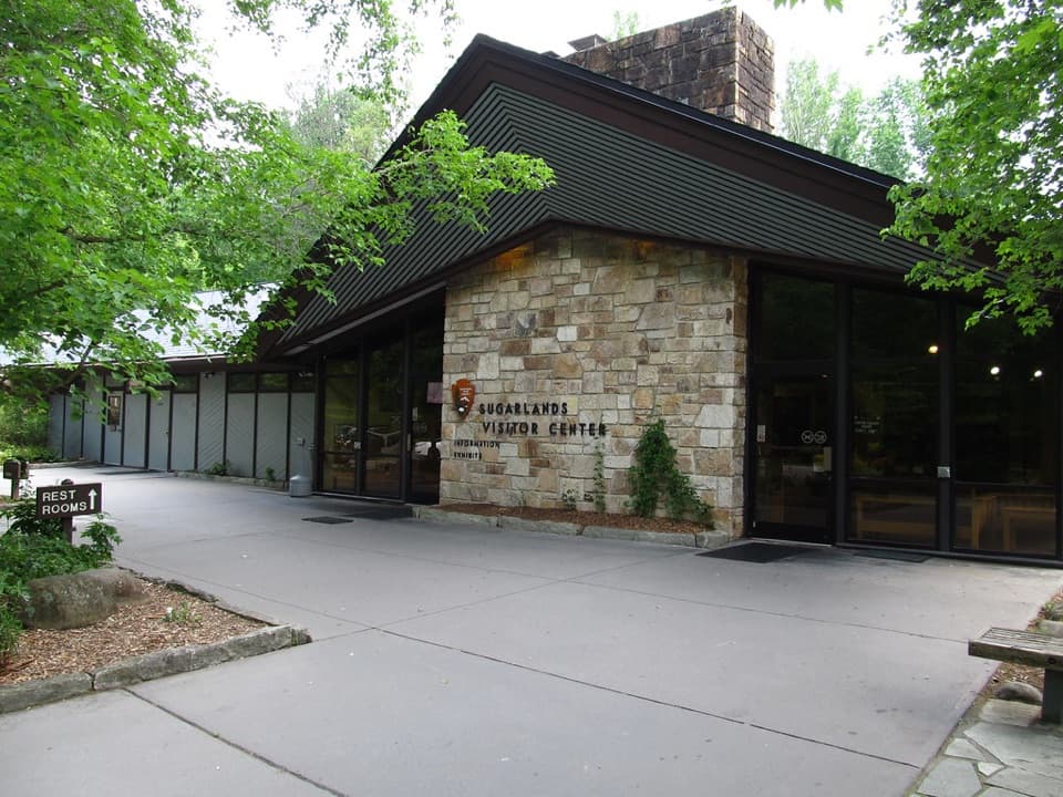
Sugarlands Visitor Center

Overview

About Fighting Creek Nature Trail

Why go

  • The John Ownby Cabin gives the short loop a real historical destination
  • Creek crossing and wetland make the forest walk varied

Heads up

  • The walk from visitor-center parking adds distance outside the loop figure

Map & elevation

The route

Loading the Great Smoky Mountains map
Full map
Elevation1,558–1,706 ft
TrailheadFighting Creek Nature Trail loop junction at the footbridge35.68715, -83.54006
Keep this map with you offline in the Parkwolf app

Plan your hike

Before you go

Parking

Park at Sugarlands Visitor Center, then follow the sidewalk past the public restrooms to the Fighting Creek footbridge and loop start. The approach is outside the one-mile loop distance. A parking tag is required for vehicles parked longer than 15 minutes.

Safety

Pets are prohibited on this trail. Park rules allow leashed pets only on the Gatlinburg Trail and Oconaluftee River Trail; service animals are allowed.

7 active Great Smoky Mountains alerts

  • ClosureHurricane Helene trail damage and backcountry restrictionsHurricane Helene damage has restricted backcountry trail access; avoid damaged crossings and observe trail-specific limits.Official details
  • CautionBear-related trail, campsite, and road restrictionsBear activity has closed trails, a shelter, and campsites and restricted pedestrian access on Cherokee Orchard Road; stay out of closed areas and follow vehicle-only rules.Official details
See all 7 alerts
A park ranger sits on a dash-mounted phone, talking, as Parkwolf’s Tour Guide plays “Army Cutworm Moths: A Grizzly Bear Buffet” on Grand Loop Road below Dunraven Pass in Yellowstone
Parkwolf Tour GuideThe highest, rockiest slopes around here are a summer buffet for grizzly bears.

Great Smoky Mountains Tour Guide

Your drive to Fighting Creek Nature Trail, narrated.

Parkwolf is a GPS audio tour guide for Great Smoky Mountains National Park. As you drive, it chimes in with what’s ahead: hidden gems, upcoming stops, history, geology, and wildlife, right through your car’s speakers.

See the Great Smoky Mountains audio tour

Recorded for this trailhead

Sugarlands Visitor Center
0:00 / 0:34
“You're coming up on Sugarlands Visitor Center, a useful stop if you want help choosing a walk that fits your day.”

Plays as you drive up to this trailhead in the Parkwolf Great Smoky Mountains Tour Guide.

More stories near here in the app

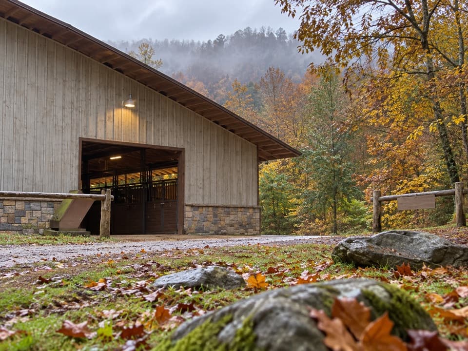
  • Sugarlands Riding Stables
  • Sugarlands Valley Nature Trail
  • A Bear Den Above the Ground
  • Taking Attendance in the Smokies
  • 200 audio storiesacross Great Smoky Mountains’s roads, triggered by GPS as you drive
  • Wildlife heatmapsfor Black Bear, Elk, Bald Eagle, and 13 more
  • Works offlinemaps, 197 trails, 137 places, and audio download before you lose signal
  • CarPlay readysimple controls built for the drive
★★★★★
“Fantastic app with many points of information… It’s great to just turn on while you’re driving and it gives you an audio tour of the national Park. We love it!!!!”
JMJamesApp Store review
Download Parkwolf on the App StoreGet Parkwolf on Google Play

4.7 from 8,600+ ratings

Trail guide

Hiking Fighting Creek Nature Trail

The cabin loopFighting Creek Nature Trail is an about 1-mile loop from the creek footbridge behind Sugarlands…

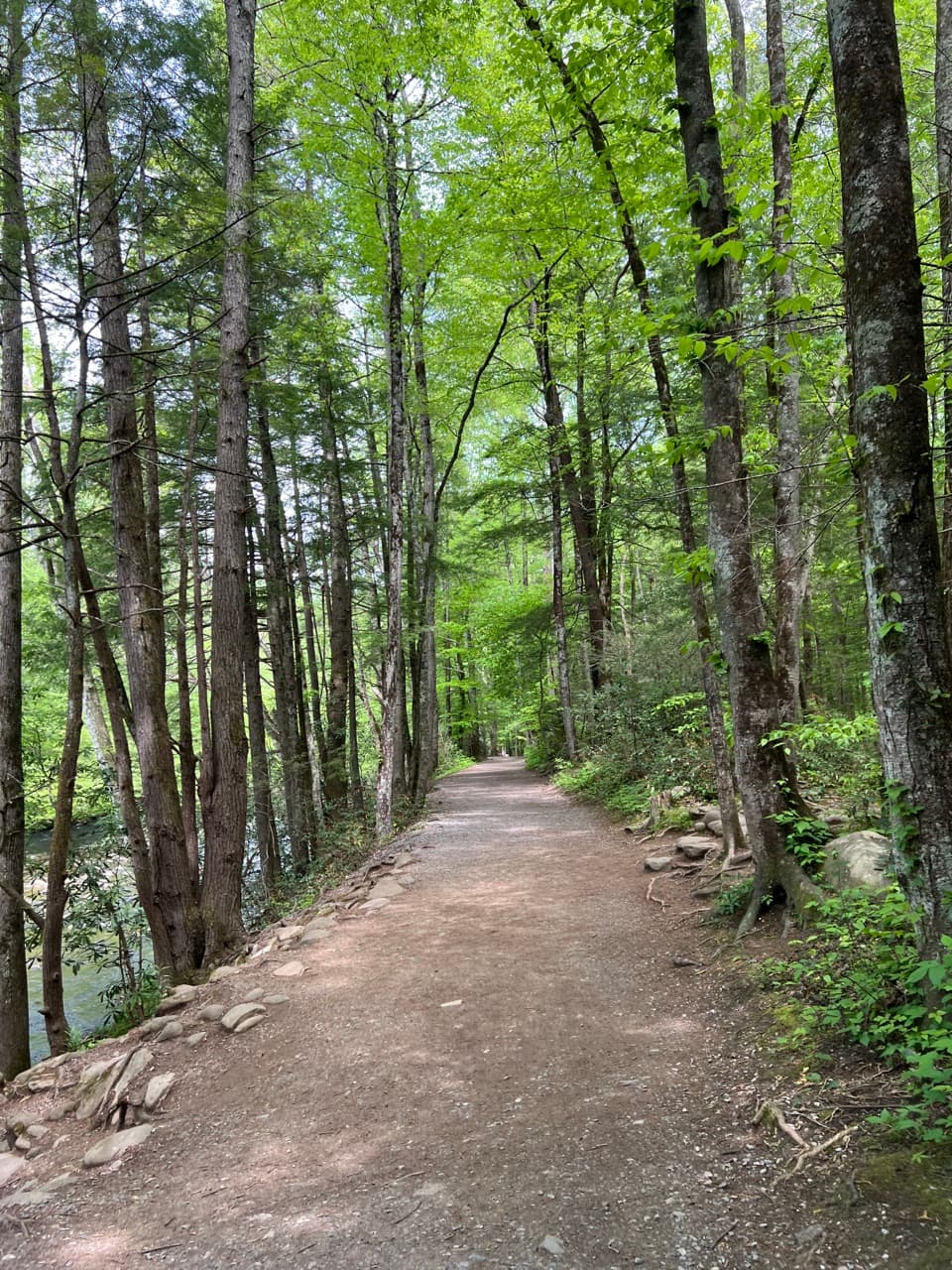
Fighting Creek Nature Trail is an about 1-mile loop from the creek footbridge behind Sugarlands Visitor Center. It passes John Ownby Cabin and a small wetland before returning to the same bridge. Allow about 30 minutes for the loop itself; walking from the visitor center to the bridge adds a short approach at each end. The developed native-surface path has gentle rises, making this a quick nature-and-history walk rather than a long hike.

Pick the cabin loopFrom Sugarlands Visitor Center, follow the sidewalk past the public restrooms to Fighting Creek…

From Sugarlands Visitor Center, follow the sidewalk past the public restrooms to Fighting Creek and its footbridge. The Cataract Falls walk branches off separately beyond the bridge; the cabin loop continues from the bridge and returns there. Keep the two walks distinct: the one-mile distance here covers the cabin loop only, not the falls spur or the approach from the visitor center.

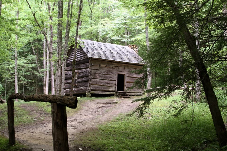
A cabin from the 1860sJohn Ownby built the historic log cabin in the 1860s.

John Ownby built the historic log cabin in the 1860s. It is the route’s clear destination and gives this short walk a glimpse of an earlier Sugarlands homesite. Take a moment to look around the cabin before closing the loop.

A small wetland in the forestThe loop passes one of the park’s wetland openings.

The loop passes one of the park’s wetland openings. Look for sedges and tall wildflowers in the treeless patches. Wetlands cover less than 1% of the park, yet more than a quarter of its plant species grow in them, and 8% grow only there.

Make the short outing workThe footbridge and unusually shaped sycamore beside Fighting Creek make a route-specific photo…

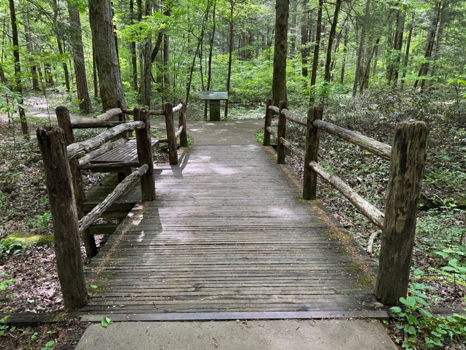
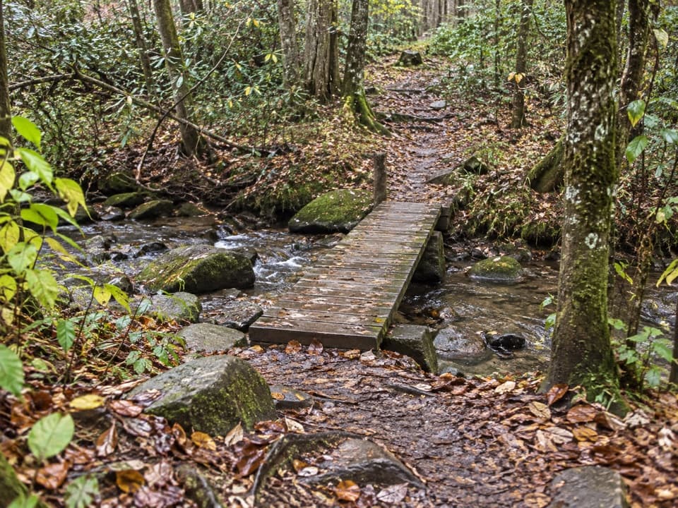
The footbridge and unusually shaped sycamore beside Fighting Creek make a route-specific photo stop; frame the creek and tree with the bridge. Restrooms and vending are at the visitor center before you start. Pets are not allowed on this trail; the park permits leashed pets on only two other trails, while service animals are allowed.

Wildlife

Wildlife in Great Smoky Mountains

All Great Smoky Mountains wildlife maps

Sighting maps show where each species has been reported across Great Smoky Mountains. Wildlife moves, so no sighting is guaranteed.

Keep exploring

Near Fighting Creek Nature Trail

See it all on the map

Trails that start nearby

Places near the trailhead

Parkwolf’s Great Smoky Mountains ranking

Top-rated trails in Great Smoky Mountains

All 197 trails
  1. 1Mount Le Conte via Alum Cave TrailChallenging · 10 mi
  2. 2Charlies Bunion via Appalachian TrailModerate · 8 mi
  3. 3Alum Cave Trail to Alum Cave BluffsModerate · 4.6 mi
  4. 4Ramsey Cascades TrailChallenging · 8 mi
  5. 5Mount Cammerer TrailChallenging · 11.1 mi
  6. 6Gregory Ridge TrailChallenging · 11.4 mi

Take Parkwolf to Great Smoky Mountains.

The audio tour guide for the drive, plus offline maps, trails, and wildlife heatmaps for when the signal drops.

4.7 from 8,600+ ratings

Download Parkwolf on the App StoreGet Parkwolf on Google Play