Parking
Use Rough Fork Trailhead parking at the end of Cataloochee Entrance Road; the Big Fork Ridge start is a short walk along the access road.
Great Smoky Mountains National Park, TN · NC
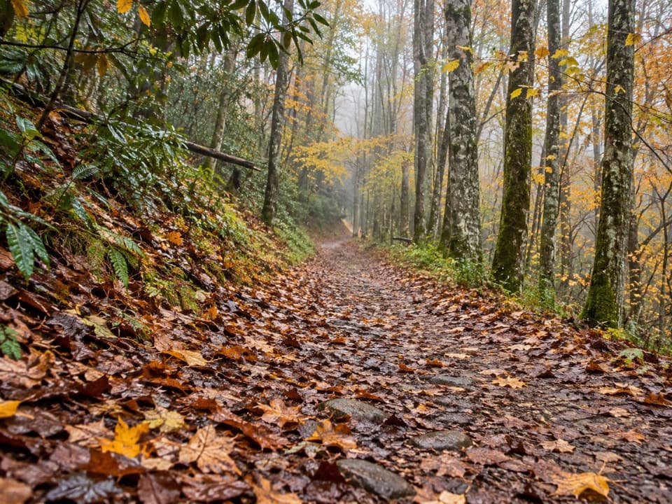
Rugged 9.3-mile loop with creek crossings and a Balsam Mountain view.
Overview
This 9.3-mile loop starts at Big Fork Ridge Trailhead, links Big Fork Ridge with the southwest section of Caldwell Fork and Rough Fork, then returns by the access road. Allow about 5.5 hours; published estimates put the climb near 1,800 feet. It is a long, uneven day with a real ridge climb, creek crossings and a lot of wooded tread. Pick it for a full Cataloochee hike, not a quick waterfall walk.
 Parkwolf’s verdictIs this the hike for you?
Map & elevation
Plan your hike

The highest, rockiest slopes around here are a summer buffet for grizzly bears.
Great Smoky Mountains Tour Guide
Parkwolf is a GPS audio tour guide for Great Smoky Mountains National Park. As you drive, it chimes in with what’s ahead: hidden gems, upcoming stops, history, geology, and wildlife, right through your car’s speakers.
See the Great Smoky Mountains audio tourRecorded for this trailhead
Rough Fork Trailhead and Steve Woody House“Up ahead is Rough Fork Trailhead, for a creekside walk to Steve Woody House. The two-mile round trip takes about an hour to an hour and a half, on a broad, mostly level path with a couple of narrow log footbridges.”
Plays as you drive up to this trailhead in the Parkwolf Great Smoky Mountains Tour Guide.
More stories near here in the app
“Fantastic app with many points of information… It’s great to just turn on while you’re driving and it gives you an audio tour of the national Park. We love it!!!!”


Trail guide
Go clockwise. The route first crosses Rough Fork on a footlog, then passes wet seeps and branches near an old farm field before the climb gets drier. Elk acclimation pens stood in that field in 2001 during the park's five-year reintroduction experiment. On the ridge, a switchback opens toward Balsam Mountain; dead hemlocks remain visible on the slope. The descent has loose debris and eroded gullies. At the viewpoint, the hemlock skeletons make a striking foreground against the mountain.
From the Big Fork junction, the loop follows Caldwell Fork southwest. It passes an old school site, a bowed footlog and the McKee Branch confluence, then reaches a rock-hop ford at Double Gap Branch. The mossy boulder field and Big Hemlock campsite break up the wooded stretch. Side paths reach the graves of Levi Shelton and Elzie Caldwell; a separate spur leads to the Big Poplars.
Rough Fork brings you back toward the trailhead past rocky water and more footlogs, then eases onto a roadbed for the finish. The route is mostly shaded forest, but the open ridge view is the payoff. Going counterclockwise puts the steeper Rough Fork climb near the start.
Use Rough Fork Trailhead parking at the end of Cataloochee Entrance Road; the Big Fork Ridge start is a short walk along the access road. Pets are not allowed on this trail. Expect muddy footing around seeps and several stream crossings; the Double Gap Branch ford and footlogs can be slick, and high water can make crossings unsafe.
Wildlife
 1,566 sightingsBlack BearMost seen around 7 PMSighting map
 899 sightingsElkMost seen around 7 AMSighting map
 13 sightingsBald EagleMost seen around 9 AMSighting map
 142 sightingsTimber RattlesnakeMost seen around 6 PMSighting map
 26 sightingsBobcatMost seen around 8 PMSighting map
 42 sightingsRiver OtterMost seen around 7 AMSighting map
Sighting maps show where each species has been reported across Great Smoky Mountains. Wildlife moves, so no sighting is guaranteed.
Keep exploring
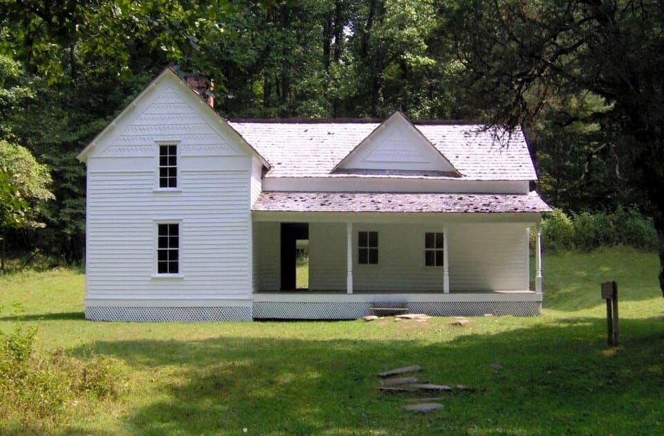 EasyRough Fork Trail to Steve Woody House2 mi · 1.3 hr · 0.1 mi awayA gentle creekside walk to a historic Cataloochee homestead.
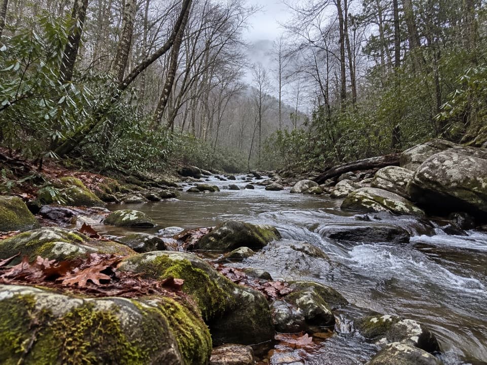 EasyCataloochee Horse Trail3.1 mi · 1.5 hr · 0.8 mi awayA creekside walk along the old road through Big Cataloochee.
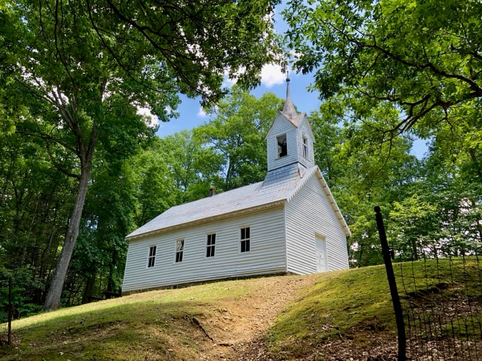 ChallengingLittle Cataloochee Trail12.1 mi · 6.5 hr · 0.8 mi awayA long, rolling hike to cabins, a church, and mountain history
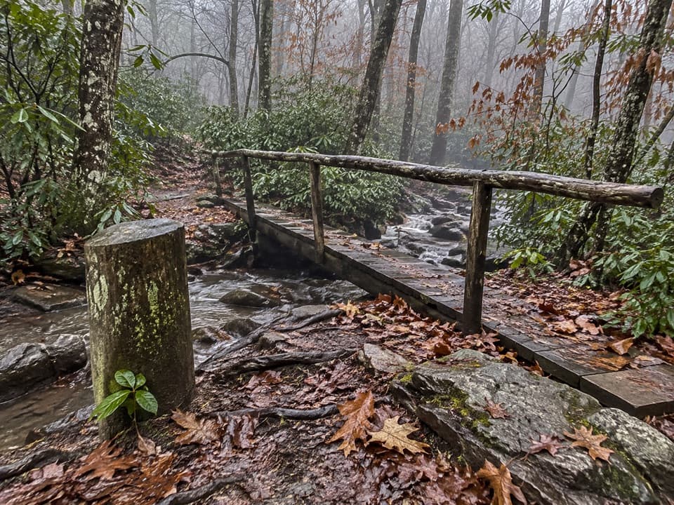 ChallengingPretty Hollow Gap Trail10.9 mi · 7.5 hr · 0.8 mi awayFollow a creek into a steep climb toward the Smokies ridge.
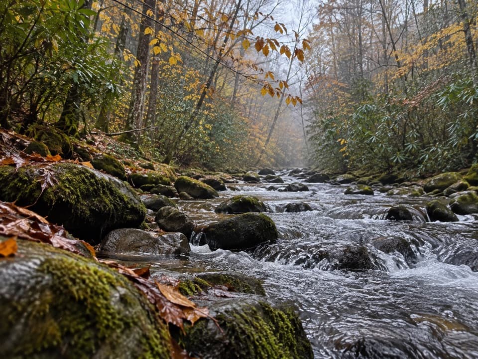 ModeratePalmer Creek Trail9 mi · 6 hr · 0.9 mi awayA long creekside climb to the high mountain road
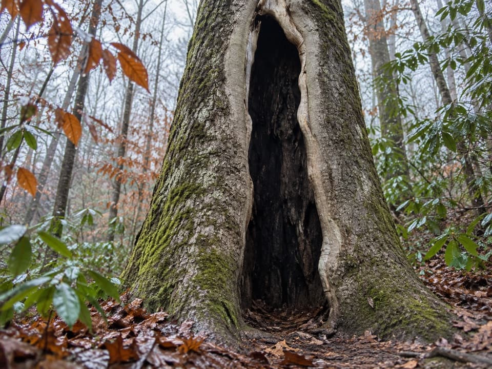 ModerateBoogerman Loop Trail7.5 mi · 5 hr · 2 mi awayCreek crossings, giant old-growth trees, and mountain homestead traces
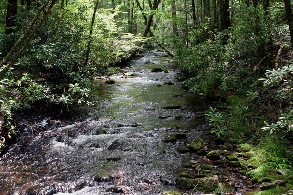 ModerateCaldwell Fork Trail6.3 mi · 4 hr · 2 mi awayCreekside miles past old farm traces and a school site
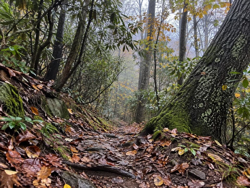 ChallengingMcKee Branch Trail2.3 mi · 2 hr · 3.3 mi awayA steep forest connector from Purchase Gap to Caldwell Fork.
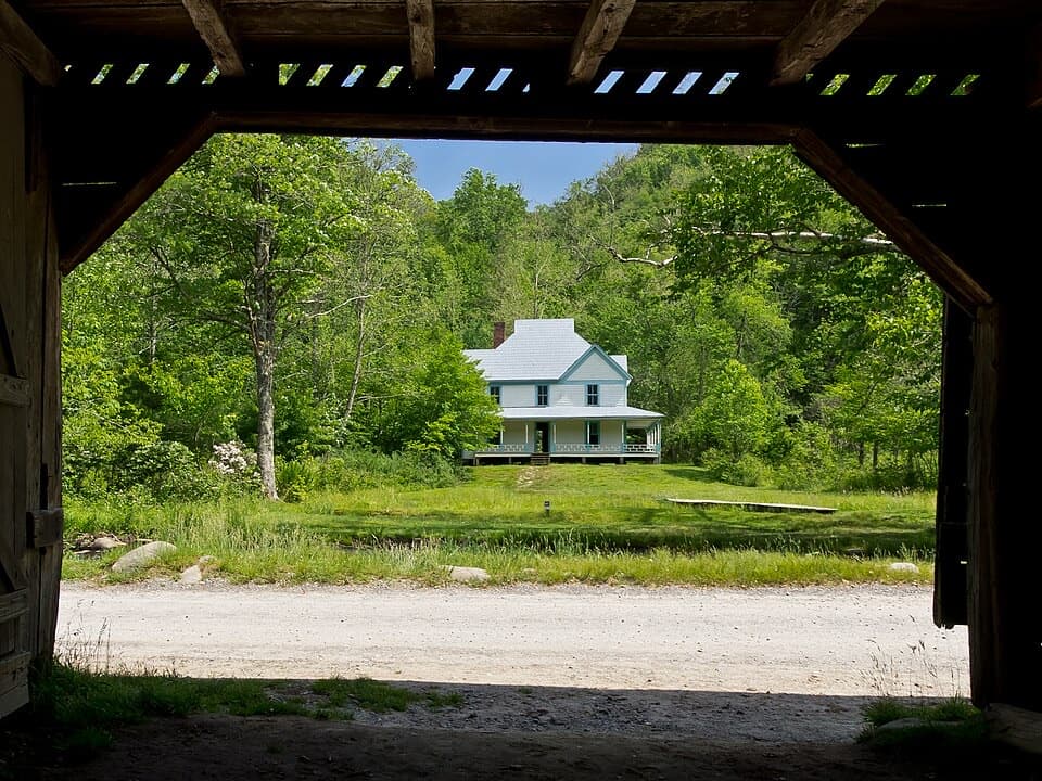 Sight · 0.3 mi awayCaldwell PlaceOld newspaper still lines the walls of this mountain home.
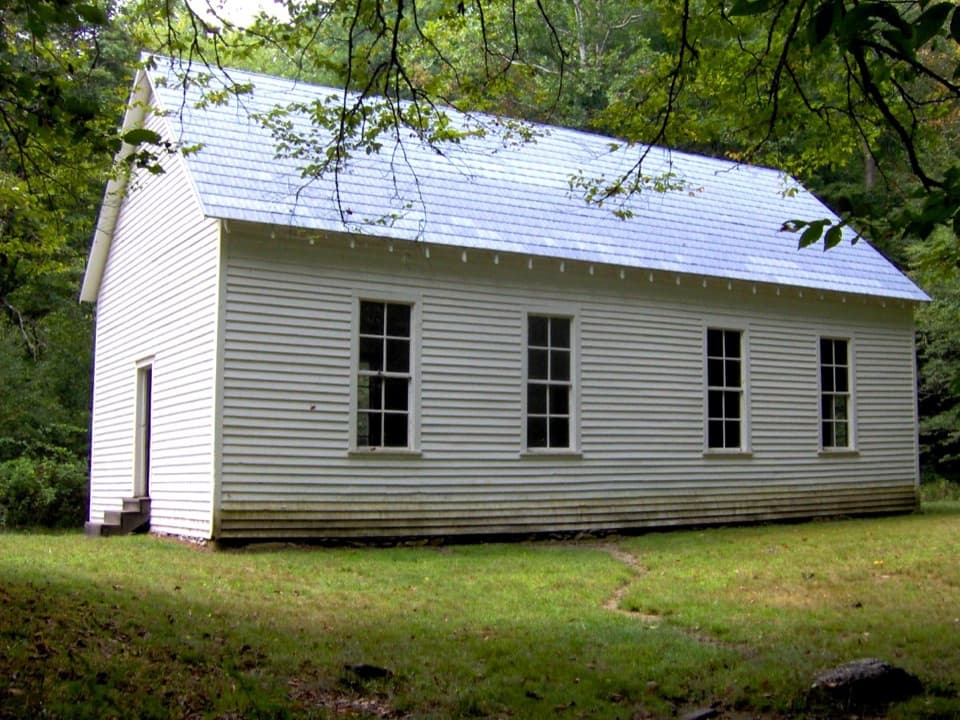 Sight · 0.7 mi awayBeech Grove SchoolA 1901 schoolhouse with a local story about fire.Sight · 0.8 mi awaySteve Woody HouseA streamside walk ends at Cataloochee's historic farmstead.
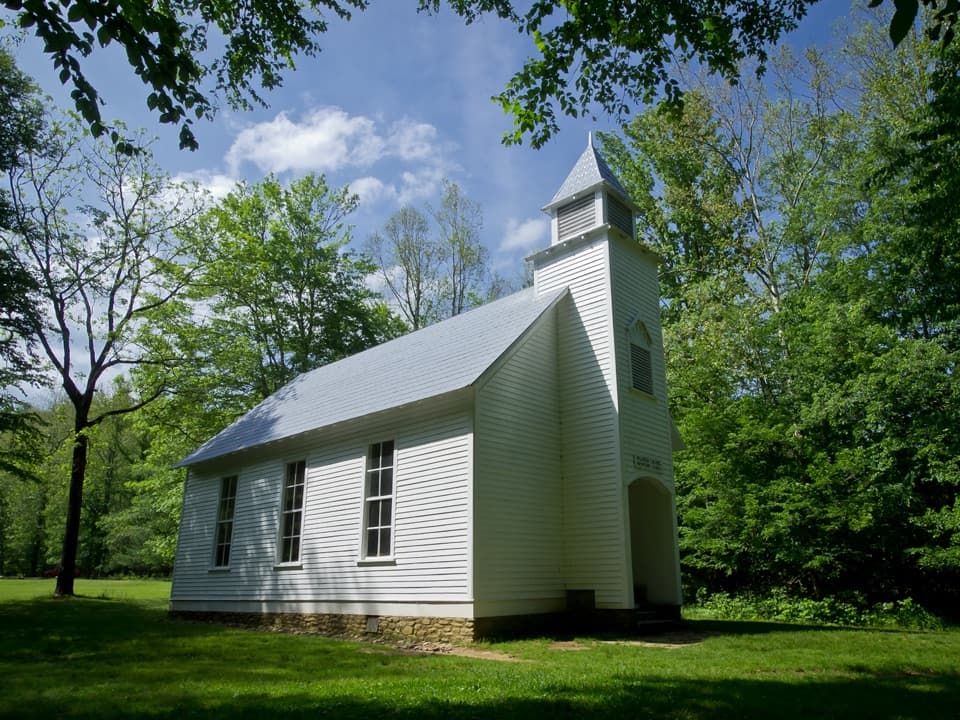 Sight · 0.9 mi awayPalmer ChapelA small valley church with a big role in Cataloochee's story.
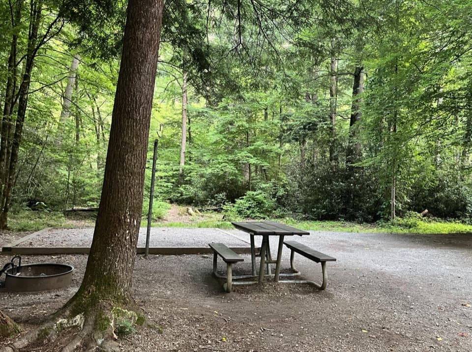 Campground · 2.2 mi awayCataloochee CampgroundCamp in a remote valley of old homesteads and elk country.
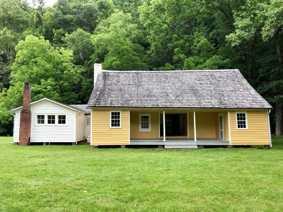 Sight · 2.7 mi awayJarvis Palmer HouseTwo log cabins under one roof became a Cataloochee homestead.
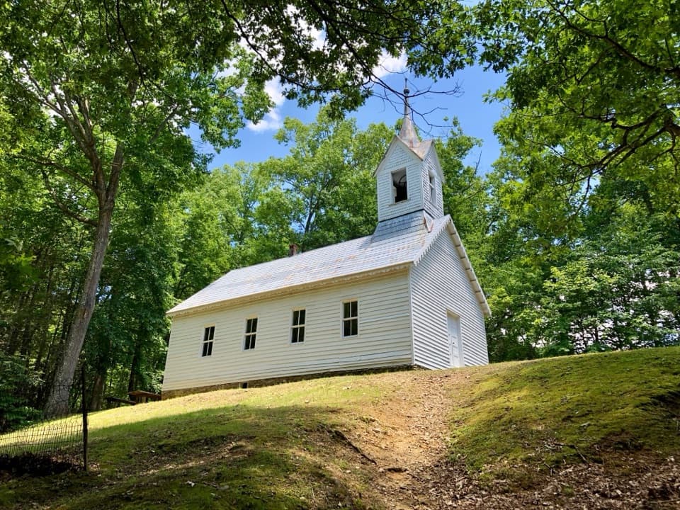 Sight · 3.5 mi awayLittle Cataloochee Baptist ChurchAn 1889 chapel with its original 400-pound bell rewards the hike
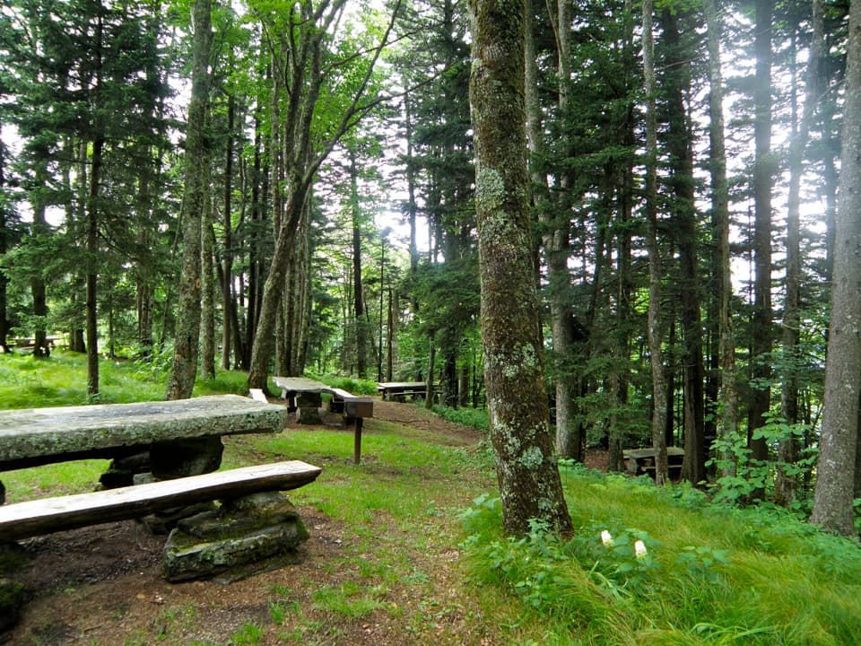 Picnic area · 4.6 mi awayHeintooga Picnic AreaHighest picnic area in the park, with the overlook close by.
Parkwolf’s Great Smoky Mountains ranking
The audio tour guide for the drive, plus offline maps, trails, and wildlife heatmaps for when the signal drops.





