Place
Challenging
A true ridge traverse, the Noland Divide Trail runs between the Deep Creek area near Bryson City and Clingmans Dome Road, delivering a quiet, backcountry feel with big-mountain variety. Expect 11.2–11.8 miles one way, depending on source and measurement, with major elevation change: roughly 1,844 feet at the low end up to about 5,948 feet at the high end. Hike it south-to-north for a stout, sustained climb; go high-to-low for a long descent. Either direction, this is a challenging point-to-point that rewards with changing forests, intermittent vistas, and far fewer people than the park’s marquee trails.
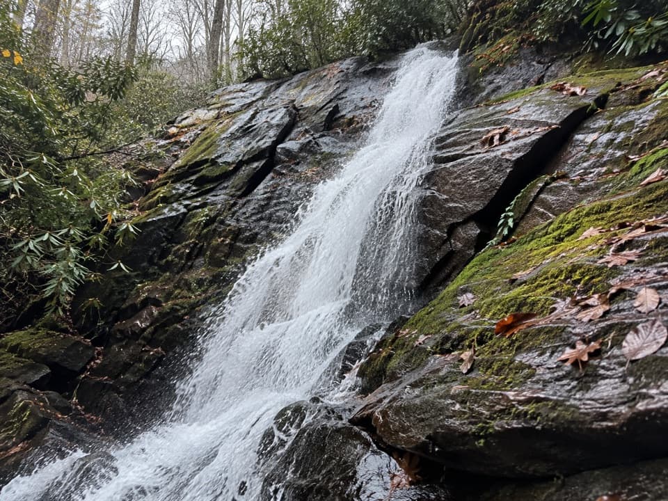
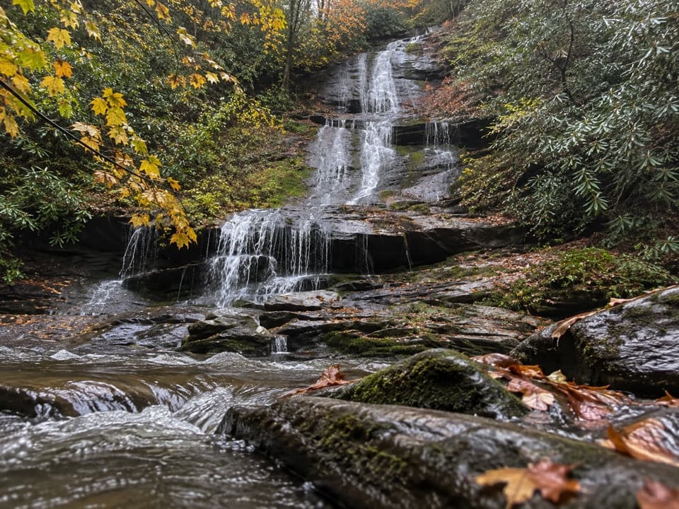
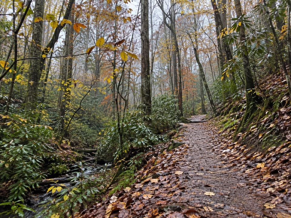
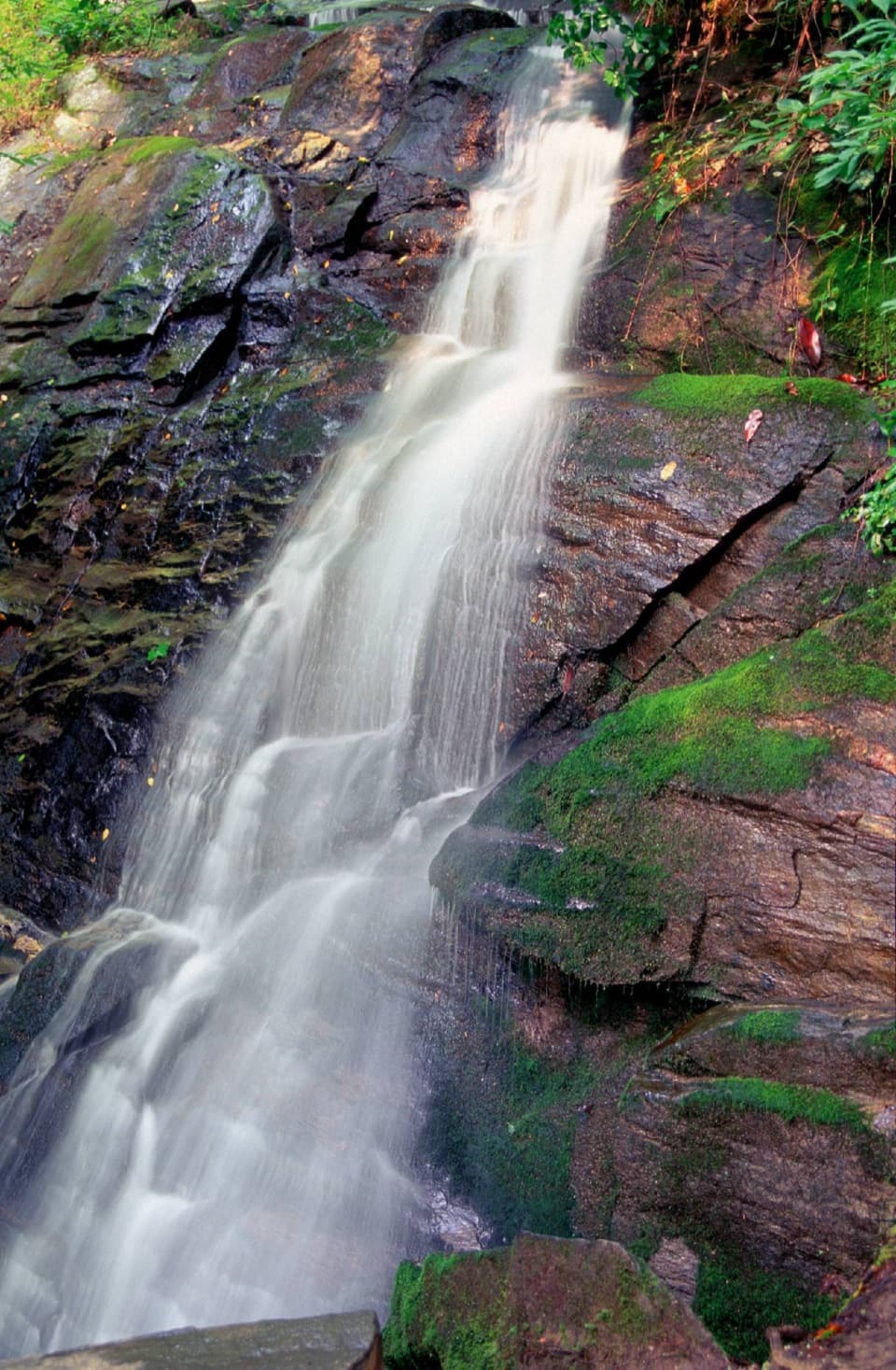
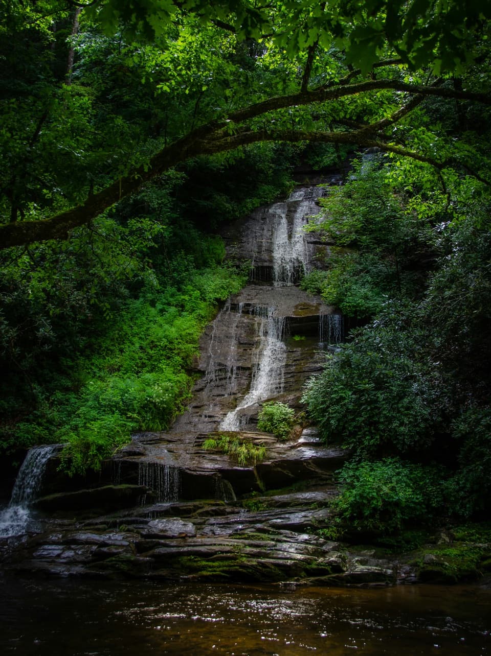
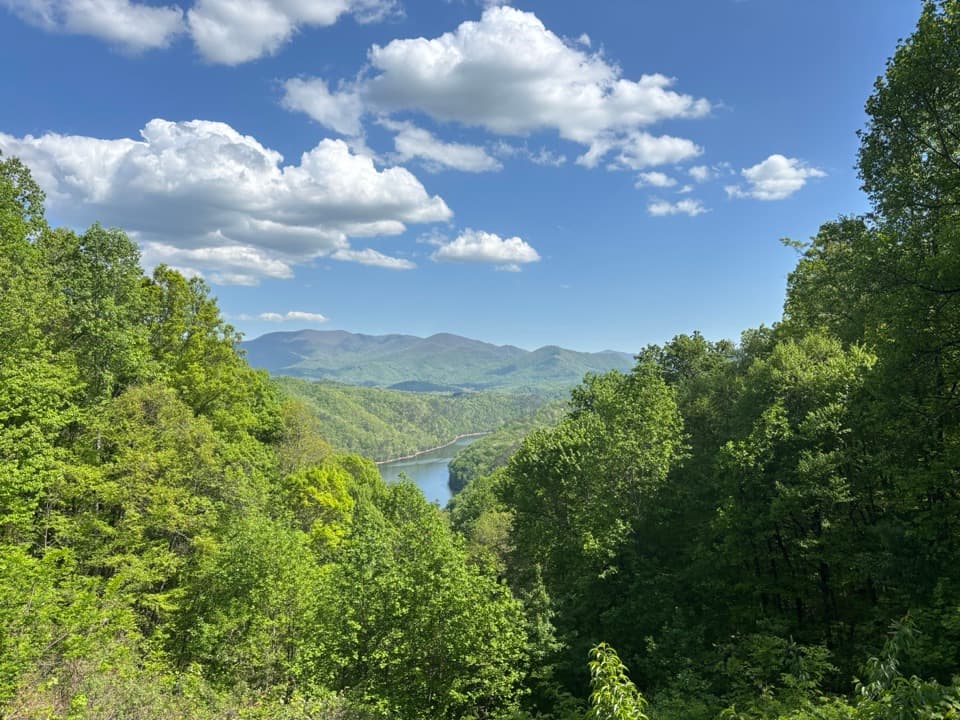
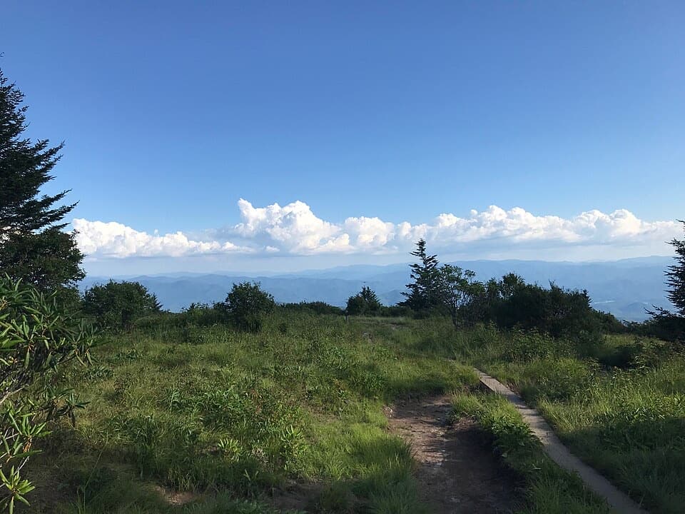
From Deep Creek, the climb starts steady through mixed hardwoods and new-growth forest. About 1.6 miles in, look for a small cascade tumbling down the hillside. Around mile 3, a short spur leads to Lonesome Pine Overlook—commanding views toward the Nantahala Mountains and Bryson City. Some viewpoints are partially screened by trees, but the knife-edge ridge nearby opens up big panoramas. Higher up, the route rolls over Beaugard Ridge, skirts Coburn Knob, and passes Lower and Upper Sassafras Gaps, where you’ll see junctions with Noland Creek (west) and Pole Road Creek (east). Near the top, the forest shifts to cool spruce–fir—soft tread, rhododendron–laurel tunnels, galax underfoot—before the trail meets Clingmans Dome Road about a half-mile east of the Dome.
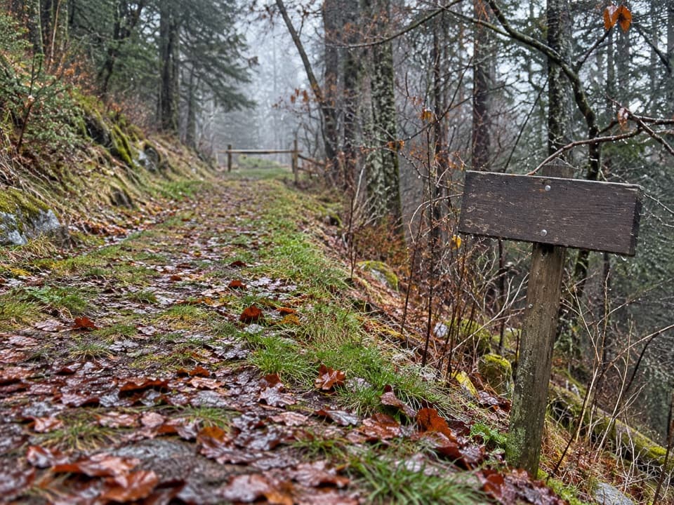
This one is long and committing. Starting low means roughly 4,000+ feet of climbing in one push; starting high trades that for a sustained descent that can be tough on knees. Some upper sections are narrow with exposure to steep drop-offs—not technical, but it demands attention, especially when wet or leaf-covered. Hikers often note the "off the beaten path" feel, seasonal wildflowers, and that it’s easier to find solitude than on busier Smokies routes.
You’ll pass through classic Smokies zones: oaks, poplar, and white pine down low; black cherry and northern red oak around the gaps; then rhododendron–laurel thickets and finally boreal-feeling spruce–fir with Fraser fir and red spruce up high. In season, expect ample wildflowers. Wildlife sightings are very possible—turkeys and grouse show up, and bear sign (scat) is common; give all animals space. Best hiking is generally March through November; autumn adds crisp air and vibrant color.
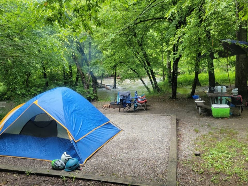
Point-to-point logistics matter: stage a shuttle between Deep Creek (near the campground/trailhead) and Clingmans Dome Road. If you want an overnight, you can link Noland Divide with Pole Road Creek and return via Deep Creek; backcountry sites are available on Deep Creek with a required reservation/permit. A paid day parking tag is required to park in the park.
If you want a quieter Smokies ridge with evolving forest zones and a standout overlook early on, yes—this is a rewarding, big day. If you’re chasing constant, easy vistas, the effort-to-view ratio may feel tough; in that case, consider building a loop that finishes down Deep Creek for soothing creekside miles instead.
Southern access at Deep Creek area near the campground/trailhead; northern access on Clingmans Dome Road about 0.5 mile east of the Dome. A day parking tag is required; arrange a shuttle for the point-to-point.
Long, committing ridge with ~4,000+ feet of net elevation change; some narrow sections with steep drop-offs. Wildlife is common—keep distance. If adding Pole Road Creek, expect multiple creek crossings that can be hazardous during high water.