Mill Brook Day Use Area in Gros Morne National Park

Picnic area · Gros Morne National Park

Mill Brook Day Use Area

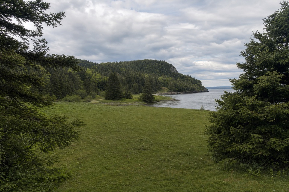
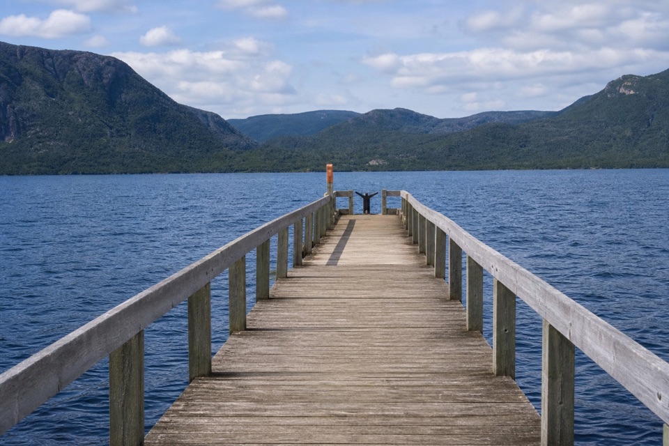
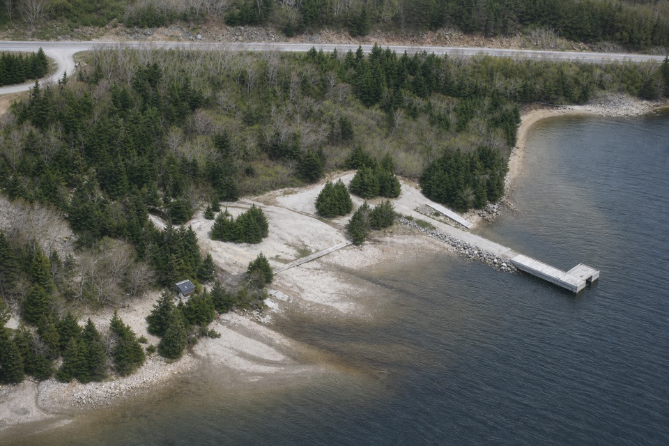
A sheltered Bonne Bay launch with a wharf and kitchen shelter.

Type
Picnic area
Nearest trail
4.8 km
Audio stories
3 nearby
  • Parking

Hear the audio tour

A Fish Population Beneath Bonne Bay

Overview

About Mill Brook Day Use Area

Why stop

  • A named Bonne Bay launch with a wharf and kitchen shelter.

Heads up

  • No day-use rentals are available; bring your own canoe or kayak.

Map

Where it is

Loading the Gros Morne map
Full map
Picnic areaMill Brook Day Use Area49.50000, -57.79000
Keep this map with you offline in the Parkwolf app

Plan your stop

Before you go

3 active Gros Morne alerts

  • ClosureGreen Gardens and Wallace Brook trail sections closedDo not enter the closed sections of the Green Gardens and Wallace Brook trails.Official details
  • CautionStuckless Pond Trail bridge outDo not use the Stuckless Pond Trail at the stream crossing. - The bridge is out, and Parks Canada says trail use is not recommended at this time because of high water levels at the stream crossing.Official details

See all 3 alerts
A park ranger sits on a dash-mounted phone, talking, as Parkwolf’s Tour Guide plays “Army Cutworm Moths: A Grizzly Bear Buffet” on Grand Loop Road below Dunraven Pass in Yellowstone
Parkwolf Tour GuideThe highest, rockiest slopes around here are a summer buffet for grizzly bears.

Gros Morne Tour Guide

Your drive to Mill Brook Day Use Area, narrated.

Parkwolf is a GPS audio tour guide for Gros Morne National Park. As you drive, it chimes in with what’s ahead: hidden gems, upcoming stops, history, geology, and wildlife, right through your car’s speakers.

Recorded for this area

A Fish Population Beneath Bonne Bay
0:00 / 0:32
“Bonne Bay has a hidden fish population. In the East Arm, where the water reaches about two hundred thirty metres deep, researchers found Acadian redfish that are genetically distinct from fish in the nearby Gulf.”

Plays on the road 1 km from Mill Brook Day Use Area in the Parkwolf Gros Morne Tour Guide.

More stories near here in the app

  • Where the Hardwoods Hold On
  • An Arctic Pocket in Bonne Bay
  • The Raft That Couldn’t Cross
  • Lomond Campground and Stanleyville Trail
  • 87 audio storiesacross Gros Morne’s roads, triggered by GPS as you drive
  • Wildlife heatmapsfor Moose, Caribou, Black Bear, and 13 more
  • Works offlinemaps, 25 trails, 58 places, and audio download before you lose signal
  • CarPlay readysimple controls built for the drive
★★★★★
“Fantastic app with many points of information… It’s great to just turn on while you’re driving and it gives you an audio tour of the national Park. We love it!!!!”
JMJamesApp Store review
Download Parkwolf on the App StoreGet Parkwolf on Google Play

4.7 from 8,600+ ratings

Guide

More about Mill Brook Day Use Area

Launch on Bonne BayMill Brook Day Use Area is a small Parks Canada picnic and launch site on Bonne Bay, one of…

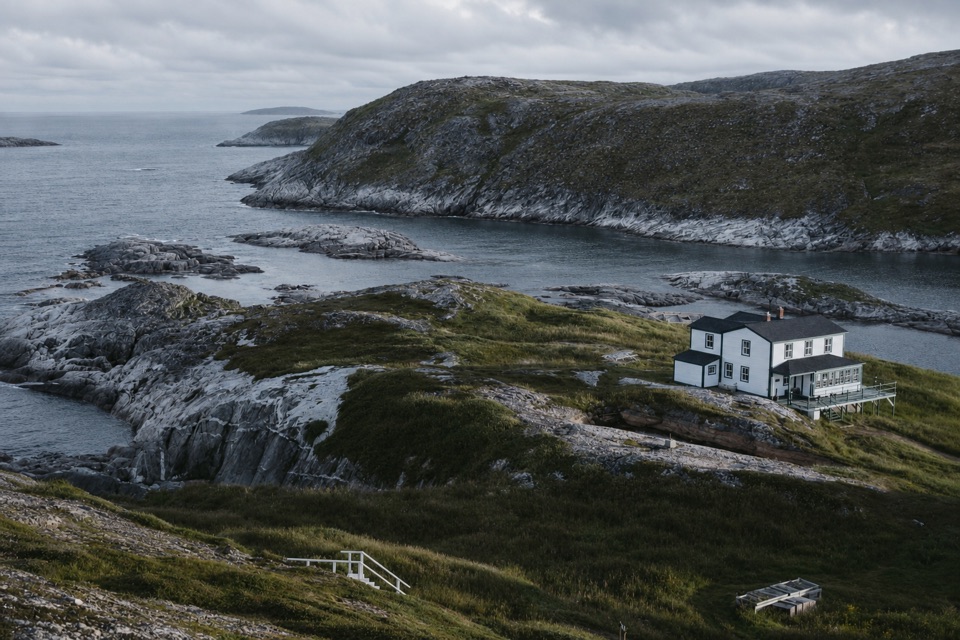
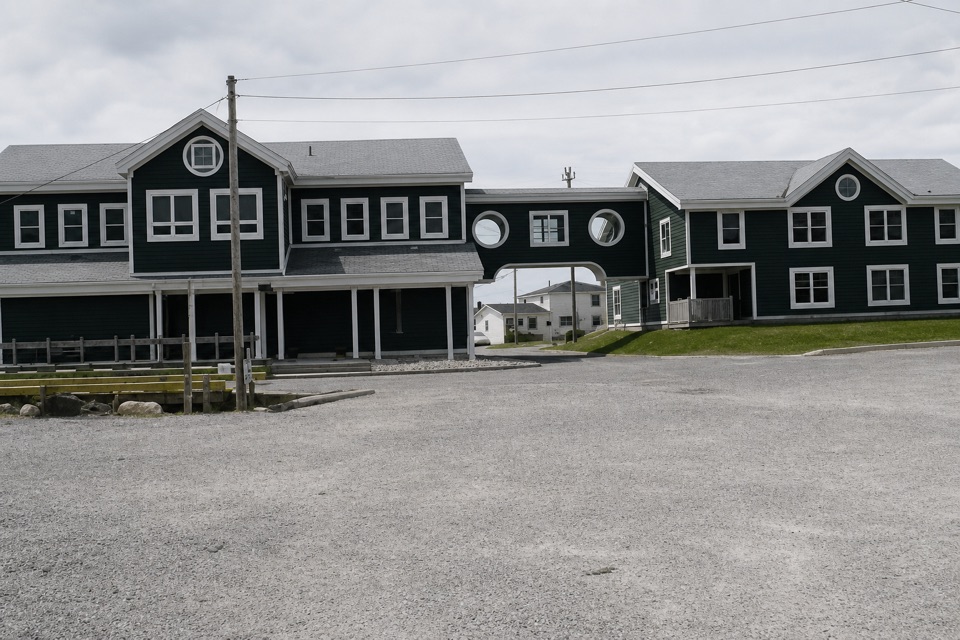
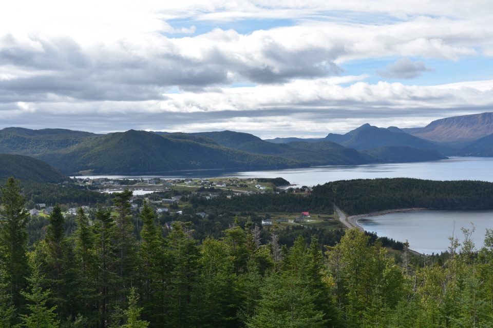
Mill Brook Day Use Area is a small Parks Canada picnic and launch site on Bonne Bay, one of three named places in Gros Morne where visitors can launch their own canoe or kayak. A kitchen shelter, boat launch and wharf make it a practical base for self-guided paddling or a break by the water. Mill Cove, a paddling destination, lies opposite this launch; day-use rentals are not available here.

A simple shore stopCome for the launch or a picnic beside the water.

Come for the launch or a picnic beside the water. The January 2018 flood damaged the day-use area and its access road; subsequent work rebuilt the road and parking. The site’s shelter, wharf and boat launch give paddlers a useful place to start, but you need to bring your own craft and gear.

Check conditions and directionsBefore launching, check current Parks Canada kayaking guidance: wind, waves, water temperature…

Before launching, check current Parks Canada kayaking guidance: wind, waves, water temperature and changeable weather can make Bonne Bay unsafe, even where the inner arms are more sheltered. The map pin and road approach remain approximate, so use current park directions to find the entrance. Other visitor facilities have not been confirmed; arrive prepared for a basic stop.

Wildlife

Wildlife in Gros Morne

All Gros Morne wildlife maps

Sighting maps show where each species has been reported across Gros Morne. Wildlife moves, so no sighting is guaranteed.

Parkwolf’s Gros Morne ranking

Top sights in Gros Morne

All 58 places
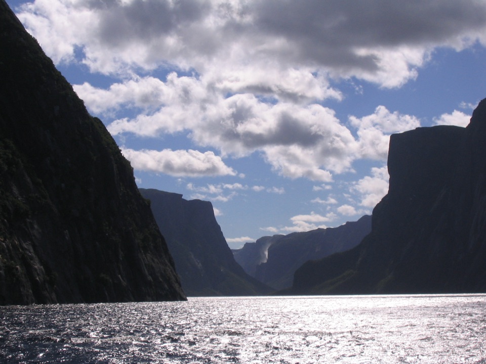
  1. 1Western Brook PondSight
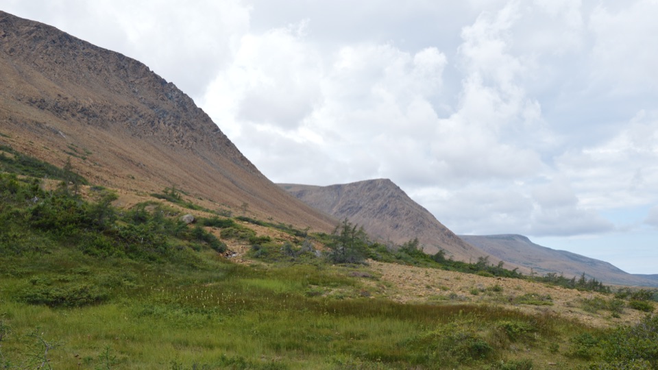
  2. 2The TablelandsSight
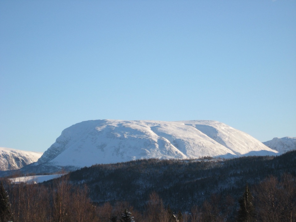
  3. 3Gros Morne MountainSight
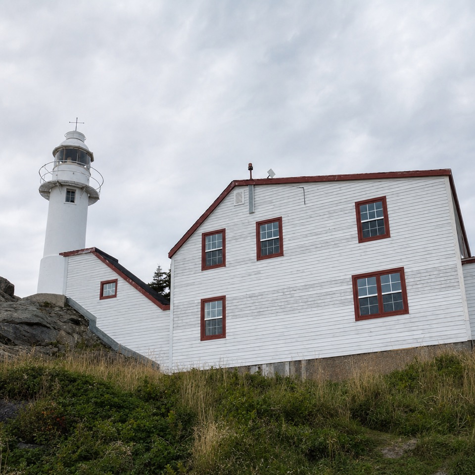
  4. 4Lobster Cove Head LighthouseSight
  5. 5Shallow Bay BeachBeach
  6. 6Broom Point Fishing PremisesSight

Take Parkwolf to Gros Morne.

The audio tour guide for the drive, plus offline maps, trails, and wildlife heatmaps for when the signal drops.

4.7 from 8,600+ ratings

Download Parkwolf on the App StoreGet Parkwolf on Google Play