Parking
Start at Shallow Bay day-use area, about 3 km north of Cow Head. Trailhead parking capacity and fees were not found.
Gros Morne National Park, NL
2 km return on the historic mail road to Slants River.
Overview
Map & elevation
Plan your hike

The highest, rockiest slopes around here are a summer buffet for grizzly bears.
Gros Morne Tour Guide
Parkwolf is a GPS audio tour guide for Gros Morne National Park. As you drive, it chimes in with what’s ahead: hidden gems, upcoming stops, history, geology, and wildlife, right through your car’s speakers.
Recorded for this trailhead
Shallow Bay Beach“Up ahead is Shallow Bay Beach, five kilometres of pale sand with shallow water sheltered by low rocky islands.”
Plays as you drive up to this trailhead in the Parkwolf Gros Morne Tour Guide.
More stories near here in the app
“Fantastic app with many points of information… It’s great to just turn on while you’re driving and it gives you an audio tour of the national Park. We love it!!!!”


Trail guide
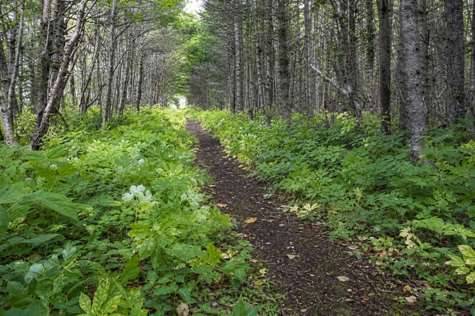
Old Mail Road Trail is an easy 2 km return (about 1.2 miles) from Shallow Bay day-use area north to Slants River. It runs through sheltered forest and sand dunes along the campground edge, on the remnant winter mail road. Allow about an hour; the official elevation gain is just 5 m.
The route is a simple out-and-back: walk north from the day-use area to Slants River, then retrace the same path. It formed part of the only overland route up the Northern Peninsula, and mail carriers travelled it by dogsled each winter from 1882 to 1952. At either end, boardwalks cross the dunes to the beach, where you can make a shore return instead. That optional variant has no published distance; the stored length covers the named Old Mail Road return.
Start at Shallow Bay day-use area, about 3 km north of Cow Head. The day-use area has beach access, a playground, flush toilets and changing rooms. Pets must remain on leash; the path is shared with cyclists, who are asked to ride in control and yield. Trailhead parking capacity, parking fees and food service could not be confirmed.
Wildlife
 252 sightingsMooseMost seen around 7 AMSighting map
 120 sightingsCaribouMost seen around 7 AMSighting map
 22 sightingsBlack BearMost seen around 7 PMSighting map
 61 sightingsBald EagleMost seen around 7 AMSighting map
 11 sightingsCommon Minke WhaleMost seen around noonSighting map
 70 sightingsHarbor SealMost seen around noonSighting map
Sighting maps show where each species has been reported across Gros Morne. Wildlife moves, so no sighting is guaranteed.
Keep exploring
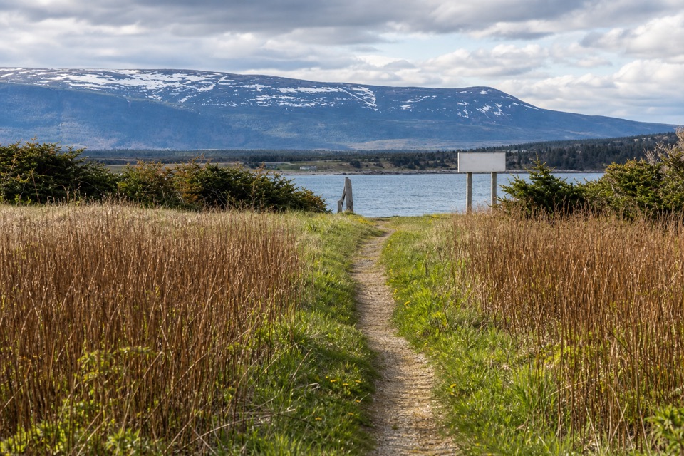 EasySteve's Trail1 km · 30 min · 12.6 km awayA short tuckamore walk opens to Western Brook’s coastal mouth.
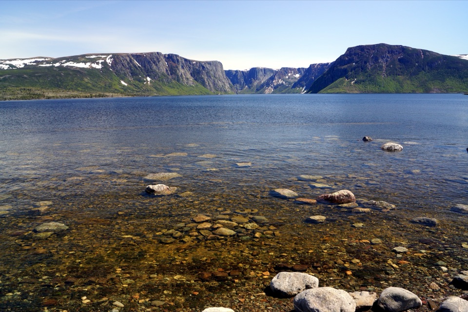 EasyWestern Brook Pond Trail6 km · 1.5 hr · 17.7 km awayAn easy walk to the foot of a fjord's cliffs.
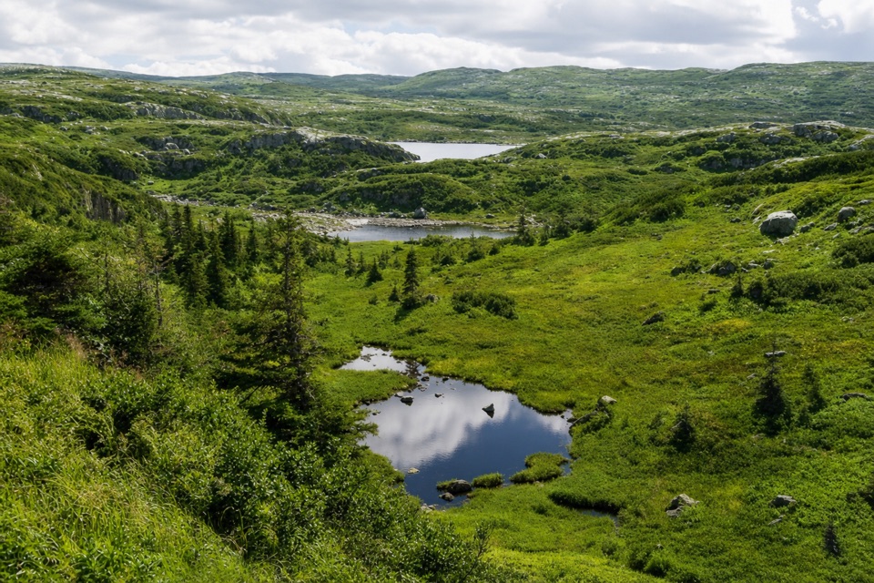 ChallengingCombined Northern and Long Range Traverse60 km · 6 days · 17.7 km awayA 60-km wilderness crossing over bog, ridges, and tuckamore.
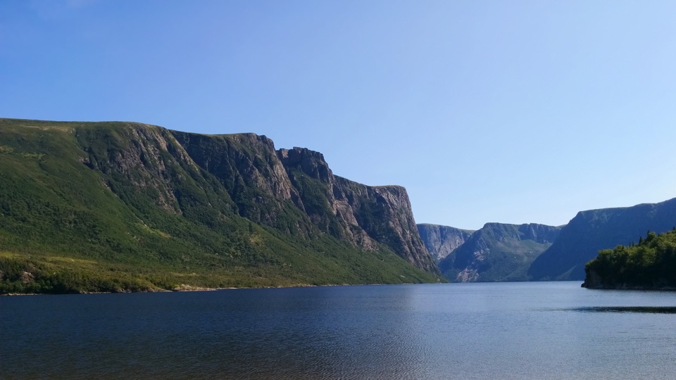 ChallengingSnug Harbour Trail15 km · 7 hr · 17.8 km awayA muddy, unmarked hike to the foot of 650-metre fjord cliffs.
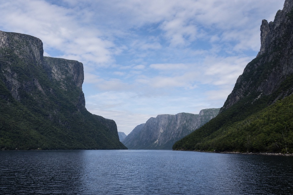 EasyWestern Brook Pond Trail: Scenic Loop6.3 km · 1.5 hr · 17.8 km awayA lowland shoreline circuit reaches a fjord framed by cliffs.
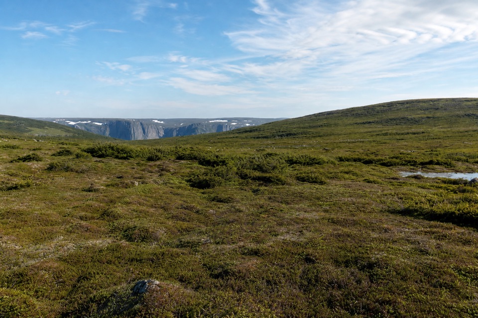 ChallengingSnug Harbour to North Rim26 km · 16 hr · 17.8 km awayTwo days to a cliff-top view above Western Brook Pond.
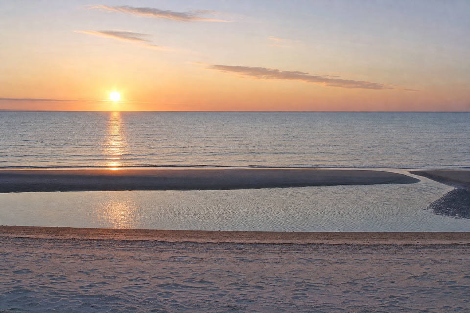 Beach · 0.2 km awayShallow Bay BeachFive kilometres of sheltered sand, summer swims, and fall shorebirds.
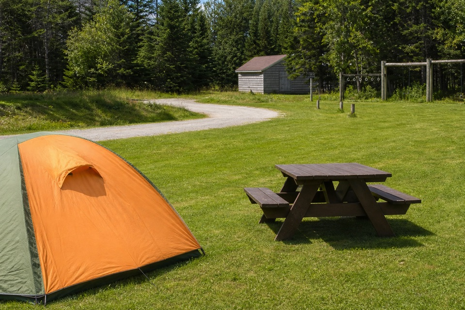 Campground · 1 km awayShallow Bay CampgroundCamp in the forest; a flat walk leads to Shallow Bay Beach.
 Sight · 2.3 km awayGros Morne Theatre FestivalNewfoundland stories and folk music take the stage in Cow Head.
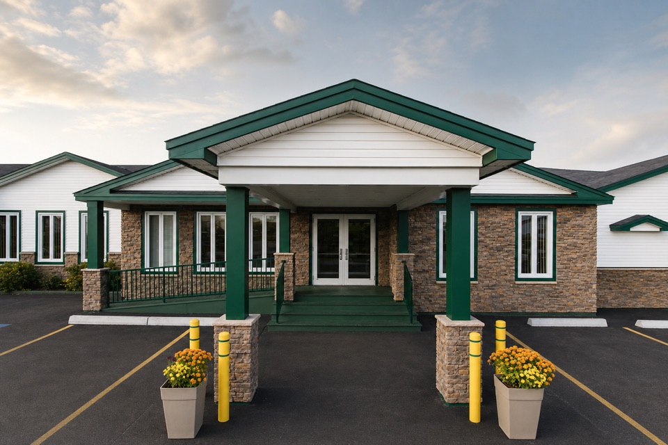 Lodging · 2.3 km awayShallow Bay Motel & CabinsA Cow Head base with cottages and a seafood restaurant.
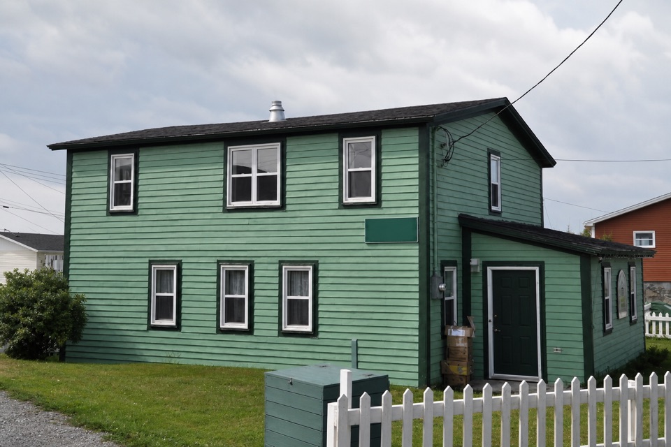 Sight · 2.7 km awayDr. Henry N. Payne Community Museum & Craft ShopA Cow Head house museum with a 700-year-old walrus skull.
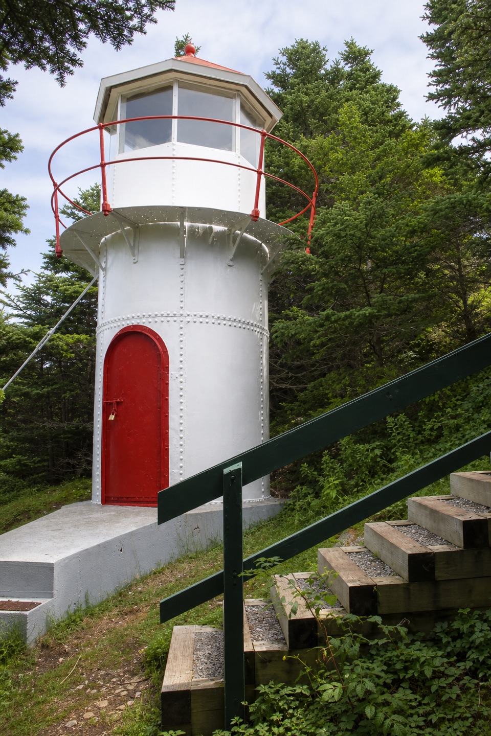 Sight · 3.7 km awayCow Head LighthouseA tiny 18-foot lighthouse tucked among trees on Cow Head’s coast.
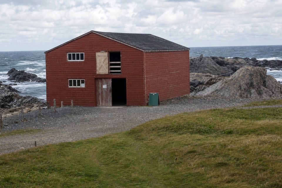 Sight · 12.7 km awayBroom Point Fishing PremisesThree brothers and their families shared one cabin each summer.
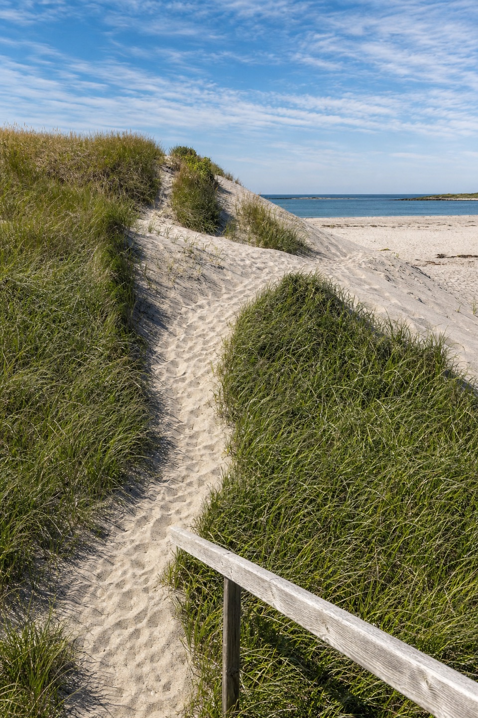 Beach · 13.4 km awayWestern Brook BeachA sandy stop at the mouth of Western Brook Pond fjord.
Parkwolf’s Gros Morne ranking

The audio tour guide for the drive, plus offline maps, trails, and wildlife heatmaps for when the signal drops.