Bush Mountain

Remote second-highest Texas peak with big ridge views
Bush Mountain, Guadalupe Mountains National Park
InsideGuadalupe Mountains National Park

Overview

Bush Mountain rises to 8,631 feet and is the park’s second-highest summit. It sits in designated wilderness and is only reachable by hiking or horseback. Expect big, open views, stout elevation gain, and a remote feel compared to busier peaks nearby.

Getting There & Routes

You can reach Bush Mountain from trailheads at Pine Springs or Dog Canyon. The Bush Mountain Trail passes right over the summit. A common day route from Pine Springs runs roughly 13 miles round-trip with about 3,600 feet of climbing and a steep initial set of switchbacks before more moderate ridge walking. A larger loop that includes Blue Ridge pushes the effort into a very full day, with hikers reporting it closer to 17 miles and “a very tough 17.”

Camping & Permits

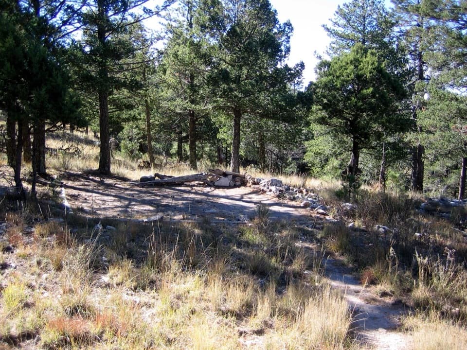
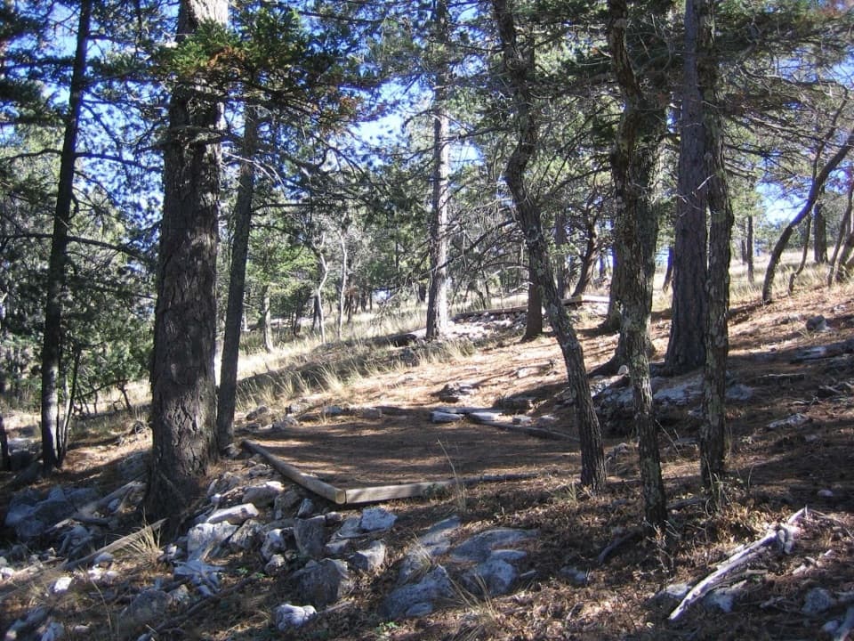
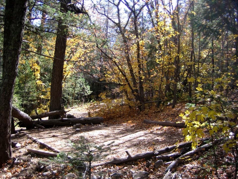
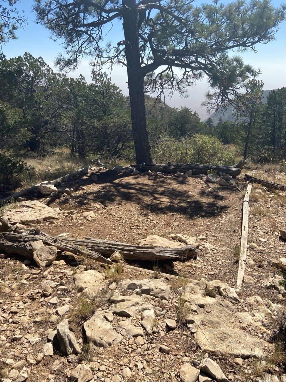
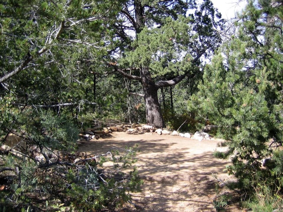
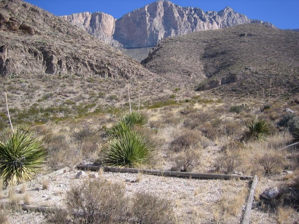
Just below the southeast side of the summit is the Bush Mountain Wilderness Campground, a primitive site with five tent pads. It’s about 6.2 miles from the Pine Springs Trailhead via the Tejas and Bush Mountain Trails. Overnight use requires a wilderness permit. Day hiking does not require a permit. Off‑trail travel in the park requires a special use permit.

Logistics: Parking, Facilities, and Wind

Pine Springs is the main jumping-off point. The trailhead lot has limited capacity; overflow parking is available at the nearby Visitor Center, connected by a short trail. Plan to use Visitor Center restrooms during open hours (typically 8 a.m.–4 p.m.). On popular fall and spring weekends, lots can fill by mid‑morning—start early. Strong ridge winds are common; bring layers and secure your hat.

What You’ll See

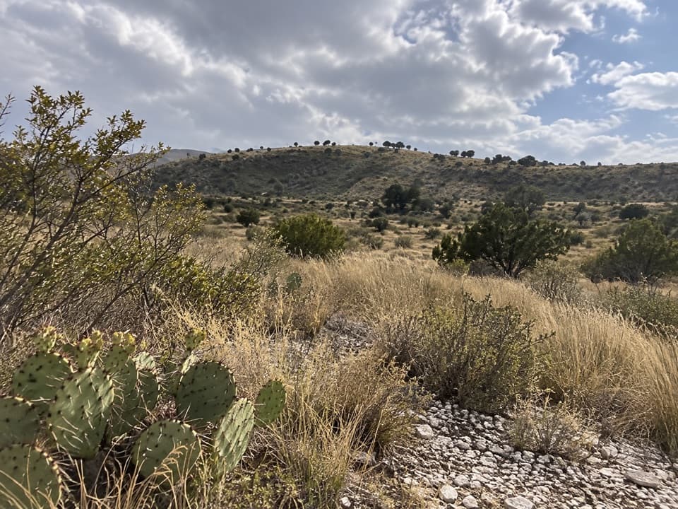
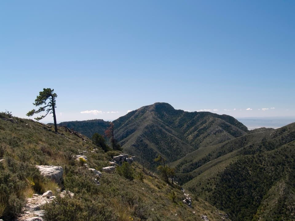
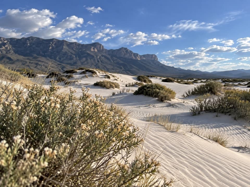
From Bush Mountain’s broad ridges you’ll look across the fossil reef skyline, with long western vistas that shine at day’s end. Hikers often note lizards along the trail. Solitude is more common here than on the marquee summit, and the sense of space is a big part of the appeal.

Geology Snapshot

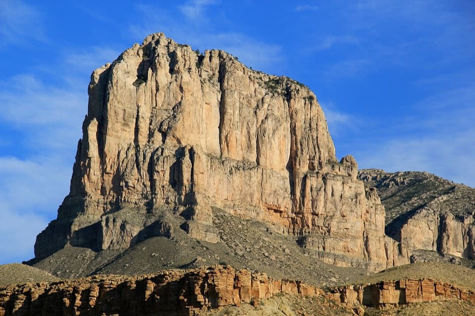
These mountains are the exposed edge of the Permian‑age Capitan Reef, a fossil reef that rimmed the ancient Delaware Sea. Built largely by algae, sponges, and other encrusting organisms, the reef was buried, uplifted, and then carved out by erosion. On the way to Bush Mountain you’re literally walking the ancient reef complex and its adjacent deposits—one of the best preserved on Earth.

Best Time to Visit

  • Time of day: Start at dawn for cooler temps, steadier winds, and easier parking. Western views can be beautiful late in the day if you time it right.
  • Days of week: Weekdays are quieter; fall and spring weekends see fuller lots.
  • Season: Shoulder seasons offer the most comfortable hiking weather; plan for wind year‑round.

Trail Notes & Safety

The first climb out of Pine Springs is the crux; after that, expect exposed ridgelines, occasional brushy stretches (long pants help), and big mileage. Water is not available along the route—carry more than you think you’ll need and include electrolytes. Download offline maps and carry a backup navigation method; service is spotty.

Pros

  • Second-highest peak in Texas with sweeping ridge views
  • Wilderness campground just below the summit for backpackers

Cons

  • Long, strenuous hike with steep initial climb and exposure
  • Ridge winds are frequent; many hikers run low on water

Tips

  • Start from Pine Springs at dawn to beat heat, wind, and parking pressure.
  • If the trailhead lot is full, use the Visitor Center overflow and walk the short connector.
  • Bring extra water and a wind layer; the ridgelines are exposed and gusty.
  • Long pants help with brushy sections and any off-trail side scrambles.
  • Overnight trips require a wilderness permit; off-trail travel needs a special use permit.
The Parkwolf tour guide sitting on a phone mounted in a car

Parkwolf Tour Guide

Like a tour guide in your car.

Save the places you found around Guadalupe Mountains, then let Parkwolf guide the drive between them.Download Parkwolf on the App Store