Best time to go
NPS says the hike is generally a year-round route in good weather, with fall color usually from mid-October through mid-November. Pine Springs parking often fills on spring and fall weekends, so keep an alternate plan.

#7 of 18 sights in Guadalupe Mountains
Sight · Guadalupe Mountains National Park
A strenuous boulder scramble ends at a narrow limestone hallway.
Overview
Devil’s Hall is a narrow natural rock hallway between steep canyon walls in Pine Spring Canyon, reached by a hike from Pine Springs. Go if you’re up for a rough, boulder-scrambling route: NPS rates the out-and-back strenuous and estimates 4.2 miles, 548 feet of elevation change, and 3–5 hours. The natural staircase and tight corridor are the reward.
 Parkwolf’s verdictA worthwhile, strenuous detour
Map
Plan your stop

The highest, rockiest slopes around here are a summer buffet for grizzly bears.
Guadalupe Mountains Tour Guide
Parkwolf is a GPS audio tour guide for Guadalupe Mountains National Park. As you drive, it chimes in with what’s ahead: hidden gems, upcoming stops, history, geology, and wildlife, right through your car’s speakers.
Recorded for this place
Pine Springs: The Guadalupe Peak Climb“You're nearing Pine Springs Trailhead, where the climb to Guadalupe Peak begins.”
Plays as you drive up to Devil's Hall in the Parkwolf Guadalupe Mountains Tour Guide.
More stories near here in the app
“Fantastic app with many points of information… It’s great to just turn on while you’re driving and it gives you an audio tour of the national Park. We love it!!!!”


Guide
Follow constructed trail for the first mile, then turn left into the wash. The next mile is rough loose rock and large boulders; some scrambling brings you to the Hiker’s Staircase, then the Hall. Return the same way. This is slow going, not a quick walk to a viewpoint.
NPS says not to climb in the wash or on canyon walls when conditions are wet or rainy. Wear shoes with solid tread; trekking poles are recommended. There’s no water station along backcountry trails, so carry what you’ll need. The wash exit can be hard to find after dark, so leave enough daylight to retrace the route. Pets aren’t allowed on trails.
The Hall is a short, enclosed passage between steep walls, with the Hiker’s Staircase just before it. From inside, frame both walls and a bit of rocky floor to show how tight the corridor is; the visible staircase is another part of the experience.
The park’s larger geologic story reaches back to a Permian sea. NPS dates the regional Capitan Reef to about 260 million years ago, when a reef grew along the edge of the Delaware Sea. The agency doesn’t identify these specific walls as that formation, so treat this as broader Guadalupe geology rather than a label for every rock in the Hall.
Wildlife
 33 sightingsAoudadMost seen around 6 AMSighting map
 163 sightingsMule DeerMost seen around 6 AMSighting map
 11 sightingsWild TurkeyMost seen around 7 AMSighting map
 34 sightingsCollared PeccaryMost seen around 7 AMSighting map
 39 sightingsDiamondback RattlesnakeMost seen around 6 PMSighting map
 43 sightingsBlack-tailed RattlesnakeMost seen around 7 PMSighting map
Sighting maps show where each species has been reported across Guadalupe Mountains. Wildlife moves, so no sighting is guaranteed.
Keep exploring
 ChallengingGuadalupe Peak Trail8.4 mi · 7 hr · 1.3 mi awayClimb 3,000 feet to the highest point in Texas.
 ChallengingHunter Peak Loop8.7 mi · 7 hr · 1.4 mi awayBear Canyon up, Tejas down, and a summit over the desert.ChallengingDevil's Hall Trail4.2 mi · 4 hr · 1.4 mi awayBoulder scrambling leads to a natural staircase and narrow canyon hall.
 ChallengingBowl Trail11 mi · 9 hr · 1.4 mi awayA long Tejas climb reaches a remnant forest in the high country.
 ChallengingSalt Basin Overlook Trail11.3 mi · 8 hr · 1.4 mi awayA long, open loop to the Salt Basin’s wide western views.
 ChallengingBush Mountain Summit Hike13.3 mi · 8.5 hr · 1.4 mi awayA long ridge hike to Texas’s second-highest summit.
 ChallengingTejas Thru Hike11.8 mi · 8 hr · 1.4 mi awayCross the park’s high country from the Bowl to Dog Canyon.
 ChallengingPine Springs to McKittrick Canyon18.8 mi · 14 hr · 1.4 mi awayA long high-country traverse ending in South McKittrick Canyon.
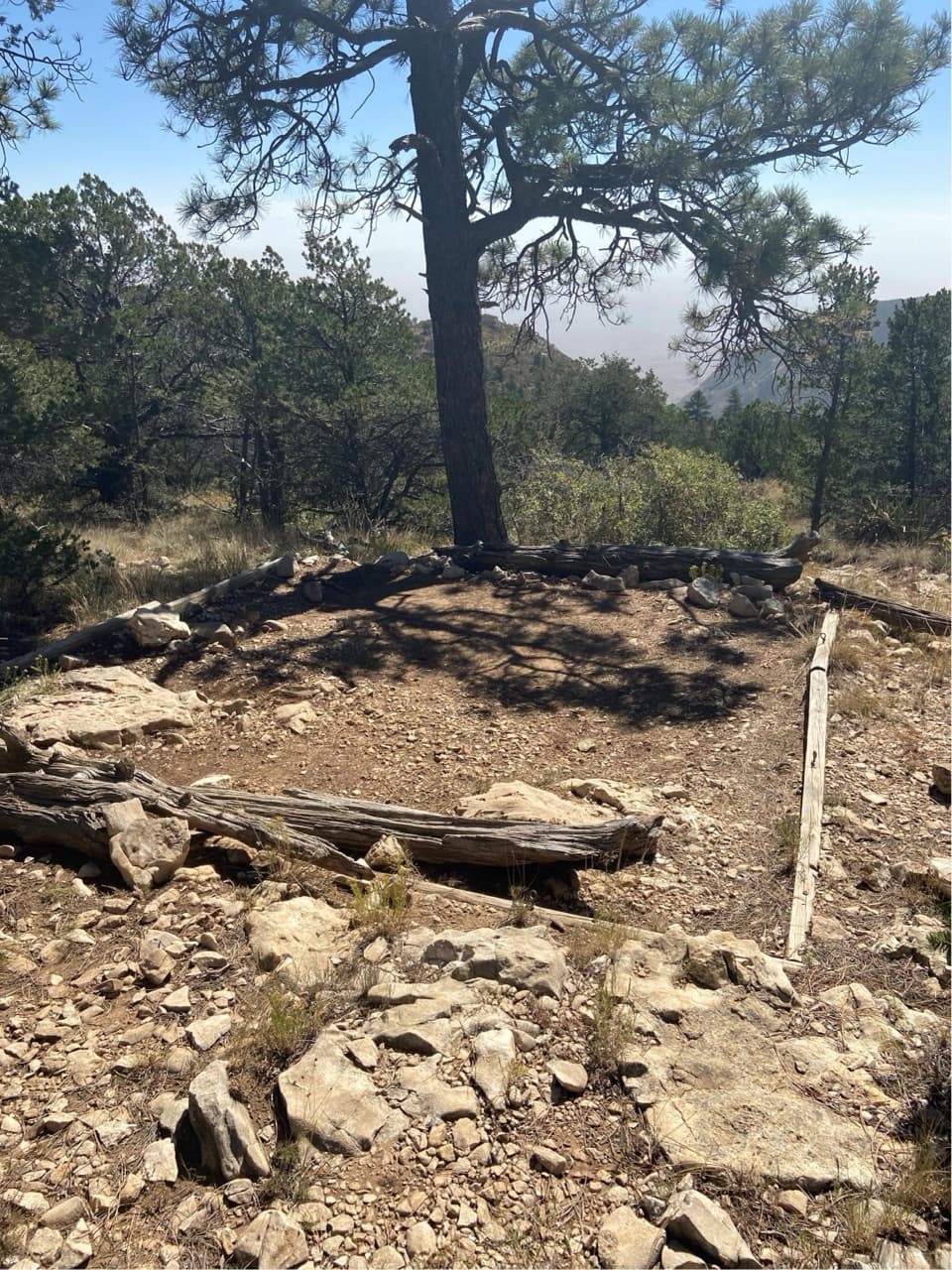 Campground · 0.9 mi awayPine Top Wilderness CampgroundEight high-country tent pads near the Bowl, reached by a steep climb.
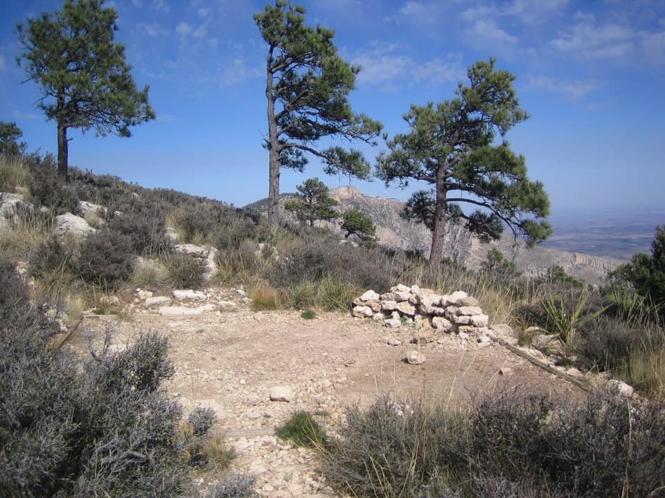 Campground · 0.9 mi awayGuadalupe Peak Wilderness CampgroundOvernight on the steep climb to Guadalupe Peak.
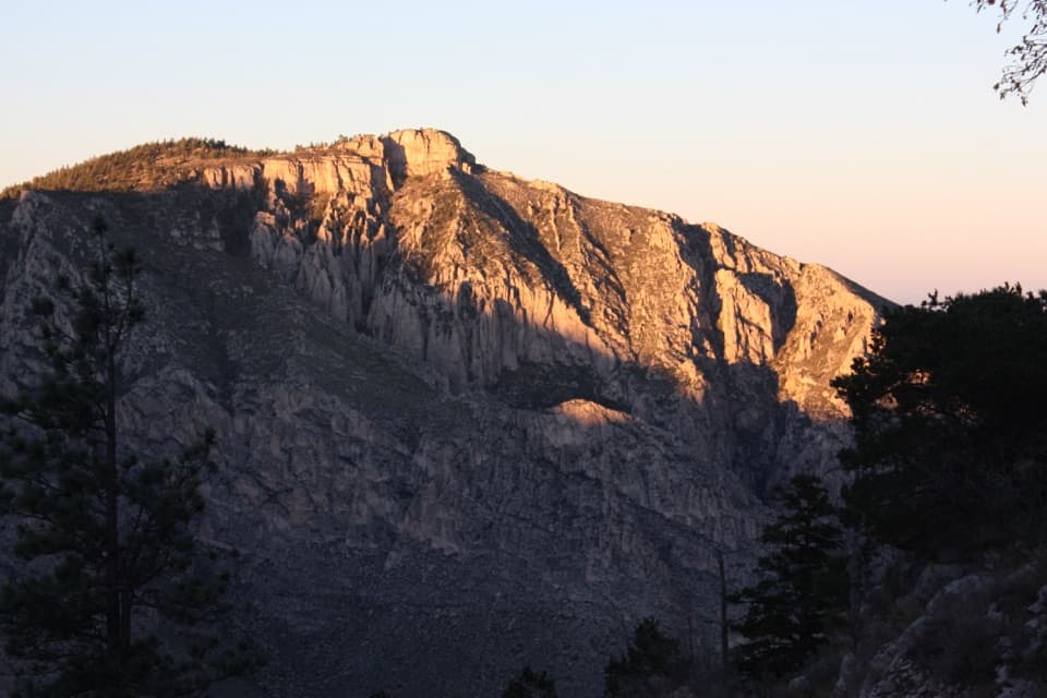 Sight · 1.1 mi awayHunter PeakA full-day climb to broad views from Texas’s sixth-highest peak.
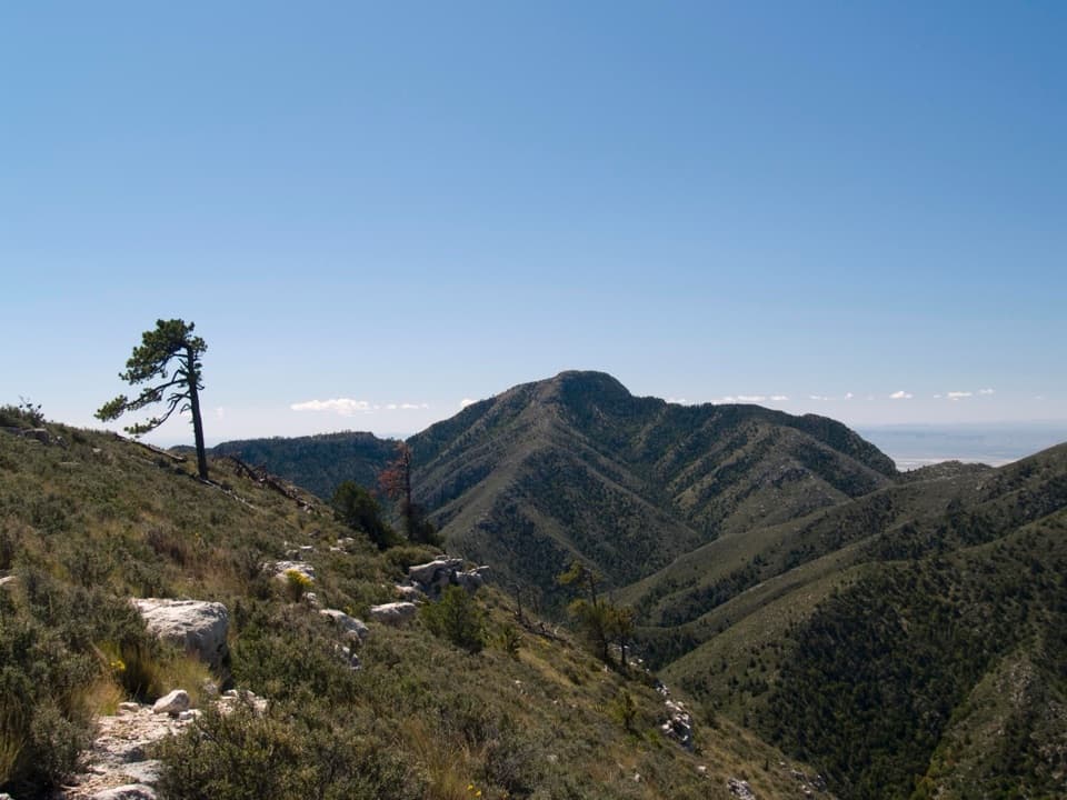 Sight · 1.3 mi awayGuadalupe PeakA steep, rocky hike reaches Texas' highest natural point.
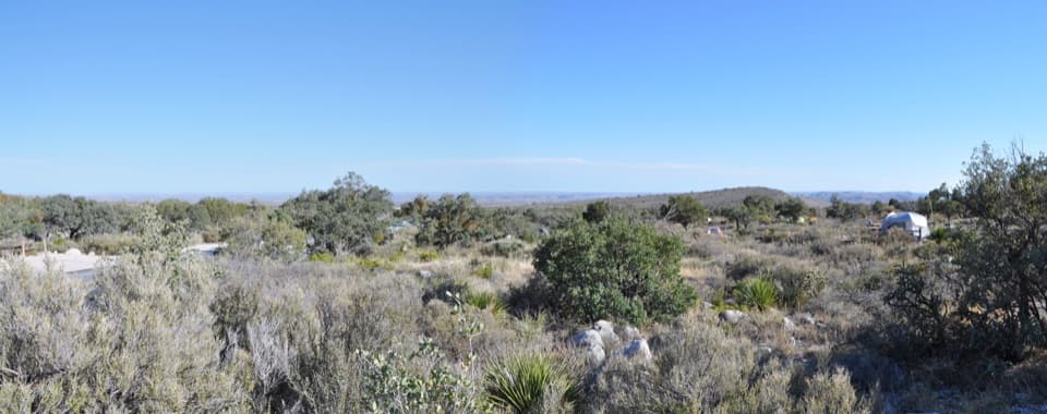 Campground · 1.5 mi awayPine Springs CampgroundA practical hiking base with tent sites, RV space, and mountain views.
 Visitor center · 1.7 mi awayPine Springs Visitor CenterStart here for permits, maps, and advice before your hike.
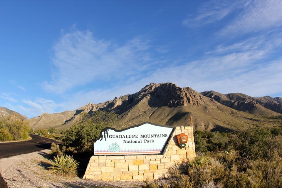 Sight · 1.8 mi awayGuadalupe Mountains National Park Entrance Sign (Pine Springs)A quick entrance photo with Hunter Peak behind the sign.
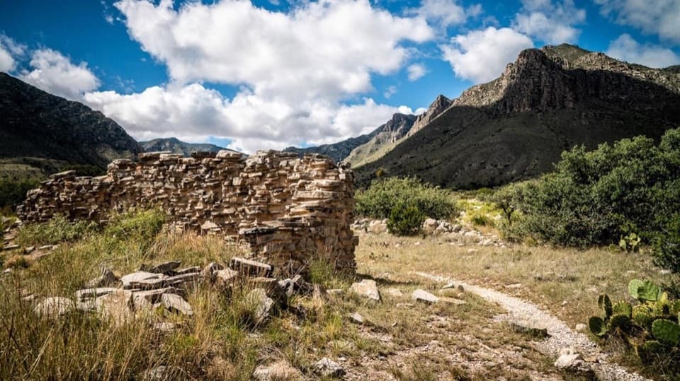 Sight · 2 mi awayThe PineryAn easy walk to the Butterfield route's highest station.
Parkwolf’s Guadalupe Mountains ranking
The audio tour guide for the drive, plus offline maps, trails, and wildlife heatmaps for when the signal drops.